Little Preston

Settlement in Northamptonshire

England

Little Preston

Ironstone buildings, Little Preston
Ironstone buildings, Little Preston Credit: Bikeboy

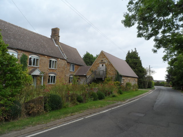
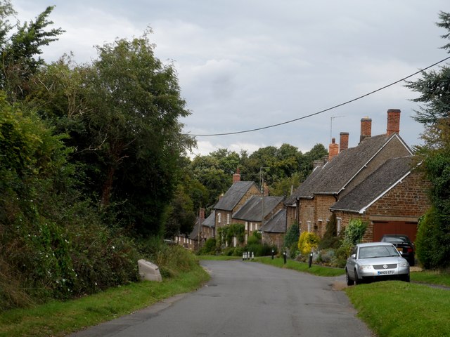
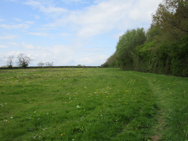
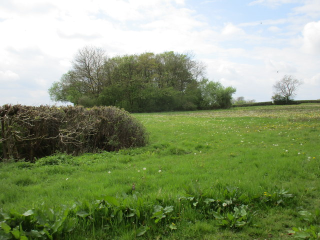
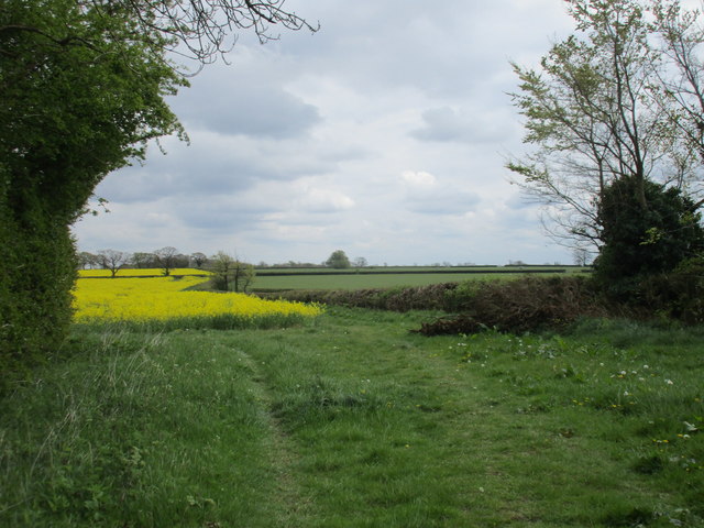
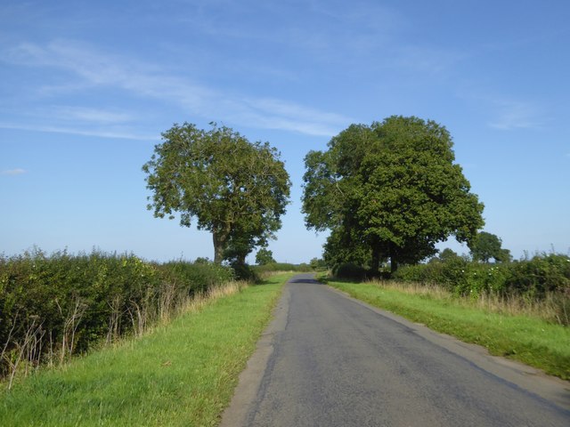
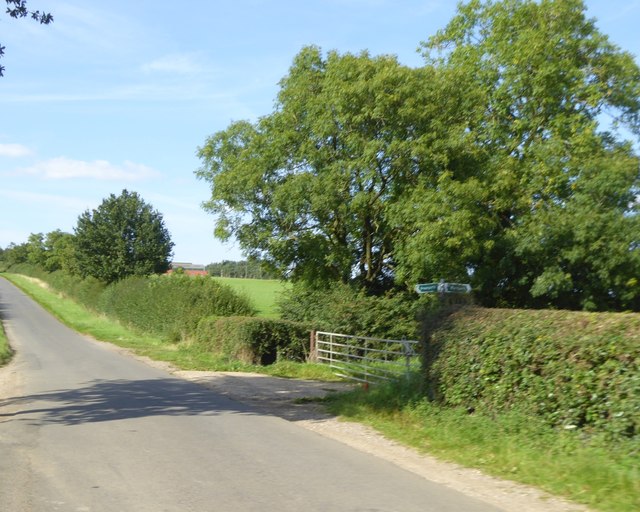
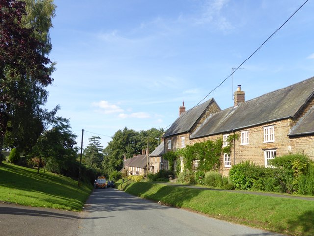
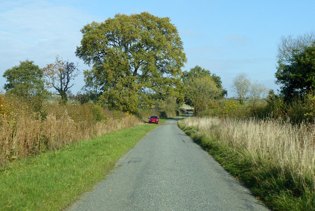
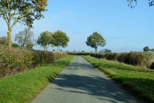
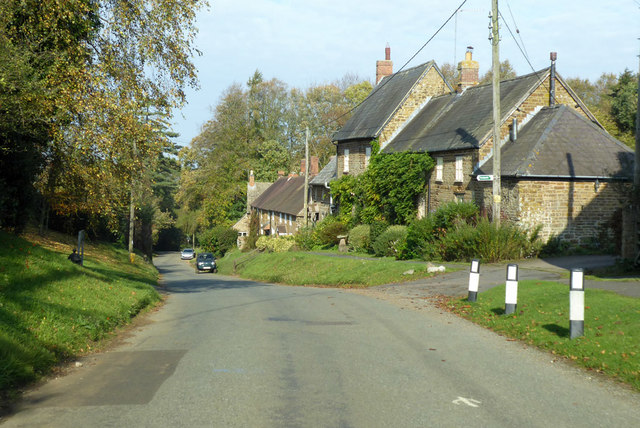
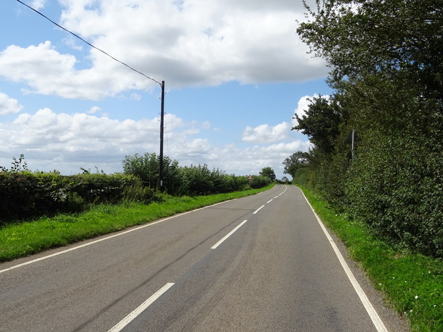
Little Preston is a small village located in Northamptonshire, England. It is situated approximately 6 miles north of the town of Northampton and is part of the larger civil parish of Preston Deanery. The village is surrounded by picturesque countryside, with rolling hills and farmland stretching out in all directions.

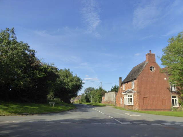
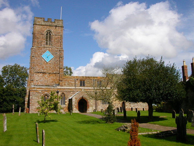
Little Preston is a quiet and rural village, with a population of around 200 residents. The village is made up of a mix of traditional stone cottages and more modern houses, giving it a charming and quaint feel. There is a village hall and a small church, which serve as the focal points of community life.

The village is well-connected by road, with easy access to the nearby towns of Northampton and Milton Keynes. There are also several walking and cycling routes in the area, making it a popular destination for outdoor enthusiasts.

Overall, Little Preston is a peaceful and idyllic village, perfect for those looking to escape the hustle and bustle of city life and enjoy the tranquility of the English countryside.

If you have any feedback on the listing, please let us know in the comments section below.

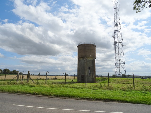
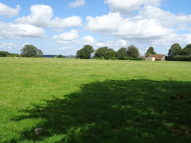
Little Preston Images

Images are sourced within 2km of 52.181547/-1.1437066 or Grid Reference SP5854. Thanks to Geograph Open Source API. All images are credited.

Ironstone buildings, Little Preston
Preston Capes, looking down the hill Most of the buildings in this row are made from ironstone and date from C18.
Preston Capes, looking down the hill
Most of the buildings in this row are made from ironstone and date from C18.
Silhouette
Silhouette
Bridleway alongside Knightley Wood
Small area of woodland close to Knightley Wood
Footpath to Litchborough Follows the line of the hedge.
Footpath to Litchborough
Follows the line of the hedge.
Trees by the road to Little Preston
Footpaths crossing the road south of Preston Capes
Crossroads at Preston Capes
Terraced houses in Preston Capes
Road dropping to cross a stream north of Preston Capes The stream isn't named on the OS map, but the nearby woodland is Kingbrook Spinney
Road dropping to cross a stream north of Preston Capes
The stream isn't named on the OS map, but the nearby woodland is Kingbrook Spinney
Lane towards Preston Capes From Eydon.
Lane towards Preston Capes
From Eydon.
Lane towards Preston Capes From Eydon.
Lane towards Preston Capes
From Eydon.
High Street, Preston Capes
Lane towards Newnham From Preston Capes.
Lane towards Newnham
From Preston Capes.
Water tower and communications mast, Preston Capes Off Charwelton Road.
Water tower and communications mast, Preston Capes
Off Charwelton Road.
Grazing near West Orchard Farm, Preston Capes
Charwelton Road near Preston Capes
Show me another place!

Little Preston is located at Grid Ref: SP5854 (Lat: 52.181547, Lng: -1.1437066)

Unitary Authority: West Northamptonshire

Police Authority: Northamptonshire

What 3 Words

///finalists.grass.forced. Near Hinton, Northamptonshire

Nearby Locations

Little Preston High Wood

Related Wikis

High Wood and Meadow

High Wood and Meadow is a 16.5-hectare (41-acre) biological Site of Special Scientific Interest between Farthingstone and Preston Capes in Northamptonshire...

Preston Capes

Preston Capes is a village and civil parish in West Northamptonshire in England. The population at the 2001 census was 188, including Canons Abbey and...

Mantles Heath

Mantles Heath is a 13.7-hectare (34-acre) biological Site of Special Scientific Interest south of Daventry in Northamptonshire.Most of this woodland site...

Snorscombe

Snorscombe is a ruined hamlet south of Everdon in Northamptonshire, England, whose rural location, now on private land, makes it extremely hard to access...

Nearby Amenities

Located within 500m of 52.181547,-1.1437066
Little Preston
Place: hamlet
Wikidata: Q20968356
Lat/Long: 52.1817826/-1.1432224
Barrier: step_over
Lat/Long: 52.1829958/-1.1401289
Post Box
Brand: Royal Mail
Brand Wikidata: Q638098
Brand Wikipedia: en:Royal Mail
Operator: Royal Mail
Operator Wikidata: Q638098
Post Box Type: lamp
Ref: NN11 162
Lat/Long: 52.1816513/-1.1434671
Power: pole
Lat/Long: 52.1831467/-1.145509
Power: pole
Lat/Long: 52.18281/-1.1442704
Power: pole
Lat/Long: 52.183963/-1.1486688
Power: pole
Lat/Long: 52.1834583/-1.1467361
Power: pole
Lat/Long: 52.1824213/-1.1429643
Generator Method: photovoltaic
Generator Output Electricity: yes
Generator Source: solar
Generator Type: solar_photovoltaic_panel
Power: generator
Lat/Long: 52.1822434/-1.142533
Defibrillator
Defibrillator Location: Next to Notice Board
Emergency: defibrillator
Ref GB The Circuit: 082FED7C-A6EE-4AE2-9D53-ACE7012BAFDD
Lat/Long: 52.1819992/-1.1428423
The data included in this document is from www.openstreetmap.org. The data is made available under ODbL.

Have you been to Little Preston?

Leave your review of Little Preston below (or comments, questions and feedback).