Little Polgooth

Settlement in Cornwall

England

Little Polgooth

Pasture, Pentewan Valley Cattle and woodland below the footpath between East Towan and Menagwins Farm.
Pasture, Pentewan Valley Credit: Andrew Smith

The requested URL returned error: 429 Too Many Requests

If you have any feedback on the listing, please let us know in the comments section below.

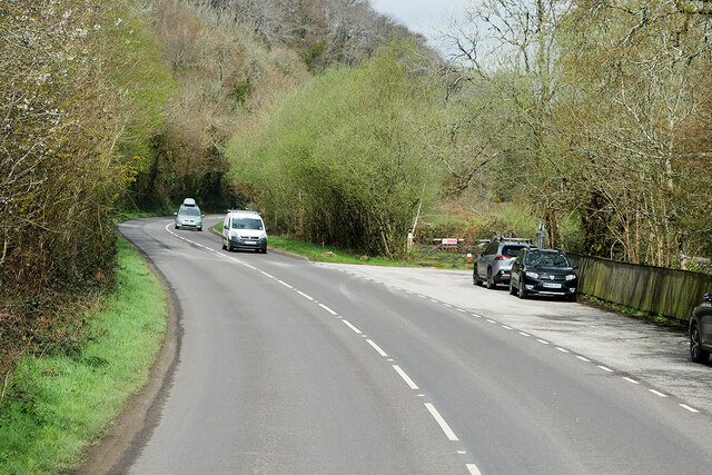
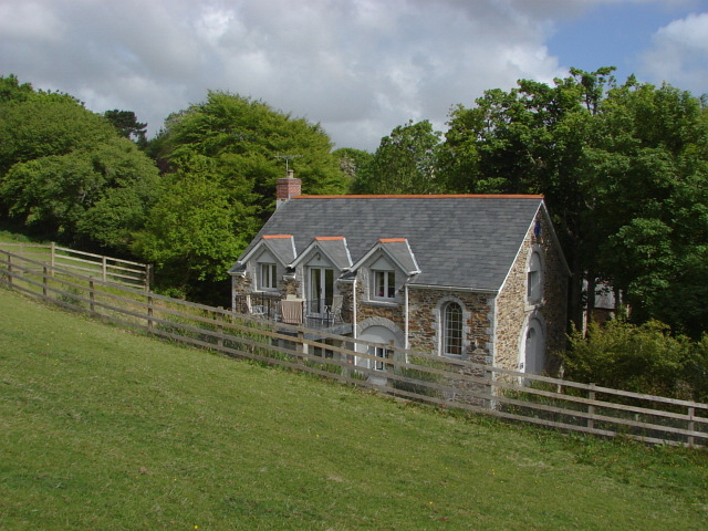
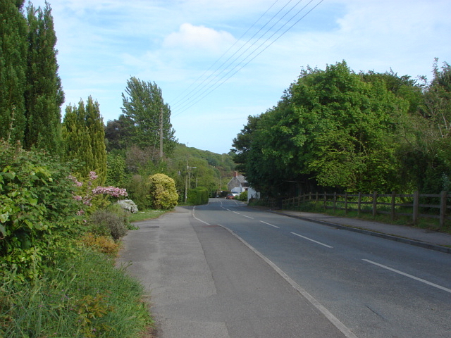
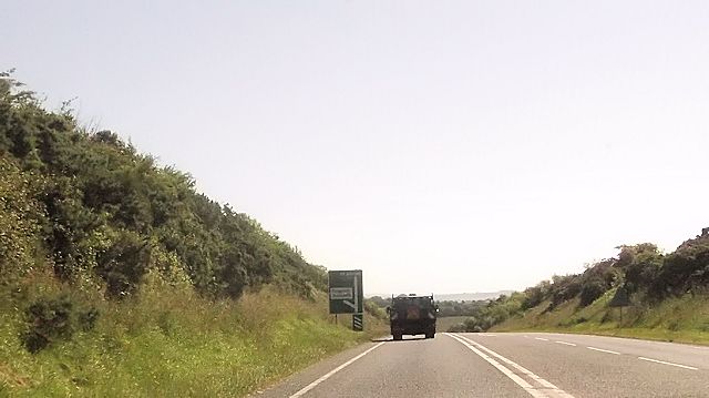
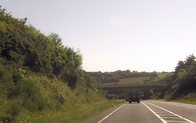
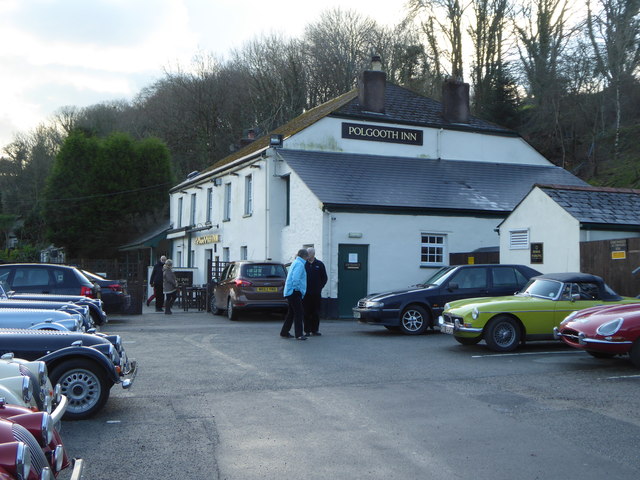
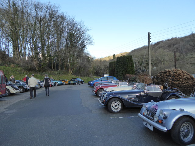
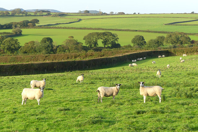
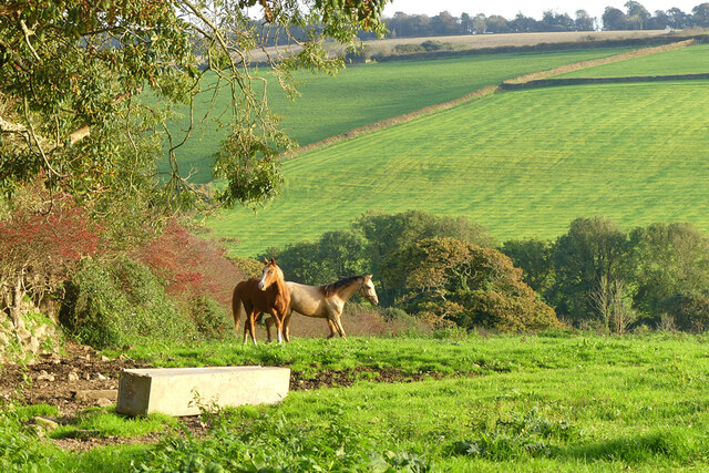
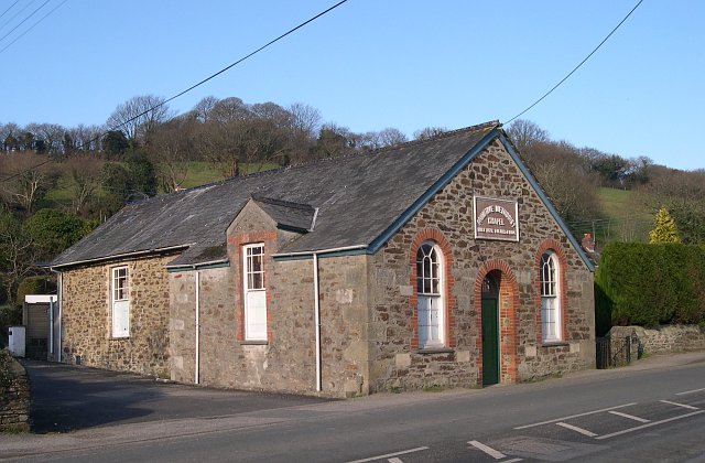
Little Polgooth Images

Images are sourced within 2km of 50.313499/-4.817012 or Grid Reference SW9949. Thanks to Geograph Open Source API. All images are credited.

Pasture, Pentewan Valley Cattle and woodland below the footpath between East Towan and Menagwins Farm.
Pasture, Pentewan Valley
Cattle and woodland below the footpath between East Towan and Menagwins Farm.
Pentewan Road (B3273) south of London Apprentice
Layby on Pentewan Road
London Apprentice, Pentewan Road London Apprentice is a village on the banks of St Austell River in the Pentewan Valley in south Cornwall, approximately two miles (3 km) south of St Austell.
London Apprentice, Pentewan Road
London Apprentice is a village on the banks of St Austell River in the Pentewan Valley in south Cornwall, approximately two miles (3 km) south of St Austell.
St Austell river walk
River bank
River bank
Paths by the St Austell River
Bosinver Farm A view across the valley that separates Bosinver from Tregongeeves Farm. Bosinver Farm is now run as a self catering holiday business.
Bosinver Farm
A view across the valley that separates Bosinver from Tregongeeves Farm. Bosinver Farm is now run as a self catering holiday business.
Bosinver Farm The fishing lake in the valley to the east of the farm.
Bosinver Farm
The fishing lake in the valley to the east of the farm.
Bosinver Farm One of the self catering apartments on this former farm.
Bosinver Farm
One of the self catering apartments on this former farm.
Polgooth Village The road running through the village towards London Apprentice.
Polgooth Village
The road running through the village towards London Apprentice.
Top of the hill near Trelowth
Overbridge near Trelowth
Tregongeeves Road junction from A390
The Polgooth Inn By the C18th the village of Polgooth had the richest mine in the United Kingdom.  The C16th century building which is now the inn was used as the Pay House for the mine.
The Polgooth Inn
By the C18th the village of Polgooth had the richest mine in the United Kingdom. The C16th century building which is now the inn was used as the Pay House for the mine.
The car park at the Polgooth Inn
Pasture, St Ewe Sheep north of the lane east of Rescorla.
Pasture, St Ewe
Sheep north of the lane east of Rescorla.
Pasture, St Ewe A view across the valley south of Tregenna.
Pasture, St Ewe
A view across the valley south of Tregenna.
Show me another place!

Little Polgooth is located at Grid Ref: SW9949 (Lat: 50.313499, Lng: -4.817012)

Unitary Authority: Cornwall

Police Authority: Devon and Cornwall

What 3 Words

///permit.armed.plates. Near St Austell, Cornwall

Nearby Locations

Little Polgooth

Related Wikis

Polgooth

Polgooth (Cornish: Pollgoodh) is a former mining village in south Cornwall, England, United Kingdom. It lies mainly in the parish of St Mewan and partly...

Levalsa Meor

Levalsa Meor is a hamlet in Cornwall, England, UK. It is half a mile south of London Apprentice and 2.5 miles (4.0 km) south-west from St Austell. It is...

Trelowth

Trelowth (also Trelowith, or Trelowthe, or Trelowthes; meaning, "the town place of trees") is a hamlet in Cornwall, England, United Kingdom. It lies 2...

London Apprentice

London Apprentice (Cornish: Oberden Loundres) is a village in south Cornwall, England, UK, on the banks of St Austell River in the Pentewan Valley (where...

Nearby Amenities

Located within 500m of 50.313499,-4.817012
Little Polgooth
Place: hamlet
Lat/Long: 50.3138889/-4.8124919
South Polgooth Mine
Historic: mine
Source: OS_OpenData_StreetView
Lat/Long: 50.3146471/-4.8219683
Power: pole
Lat/Long: 50.3108567/-4.8180655
Power: pole
Lat/Long: 50.3152501/-4.8233414
Power: pole
Lat/Long: 50.3145804/-4.8219439
Power: pole
Lat/Long: 50.3139347/-4.820753
Barrier: swing_gate
Lat/Long: 50.311126/-4.8227758
Post Box
Collection Times: Mo-Fr 09:00; Sa 07:00
Operator: Royal Mail
Operator Wikidata: Q638098
Post Box Mounting: pier
Post Box Type: lamp
Ref: PL26 200
Lat/Long: 50.3146866/-4.8110342
Barrier: stile
Foot: designated
Material: stone
Stile: wall
Lat/Long: 50.3119605/-4.8193799
The data included in this document is from www.openstreetmap.org. The data is made available under ODbL.

Have you been to Little Polgooth?

Leave your review of Little Polgooth below (or comments, questions and feedback).