Little Plealey
Settlement in Shropshire
England
Little Plealey
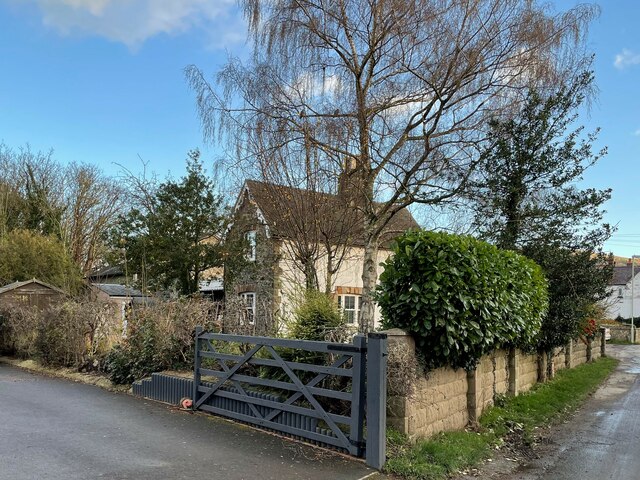
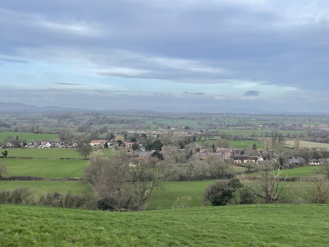
Little Plealey is a small village located in the county of Shropshire, England. Situated near the larger towns of Shrewsbury and Telford, Little Plealey is a rural community surrounded by picturesque countryside. The village is known for its charming cottages, rolling hills, and peaceful atmosphere.
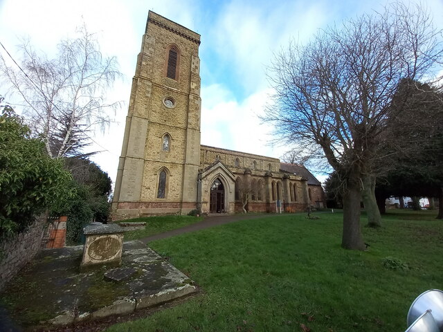
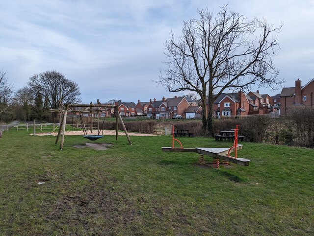
Little Plealey is home to a tight-knit community of residents who take pride in their village and work together to maintain its beauty and character. The village has a small primary school, a village hall, and a church, providing essential services and a focal point for community events.
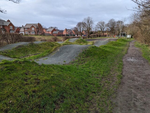
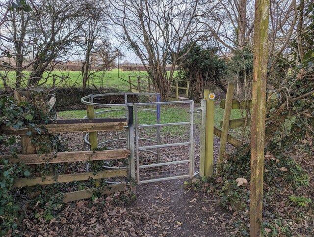
The surrounding area offers plenty of opportunities for outdoor activities such as walking, cycling, and horse riding. The nearby Long Mynd and Stiperstones National Nature Reserve provide stunning landscapes for residents and visitors to explore.
Overall, Little Plealey is a tranquil and idyllic village, perfect for those seeking a quiet and rural lifestyle in the heart of the Shropshire countryside.
If you have any feedback on the listing, please let us know in the comments section below.
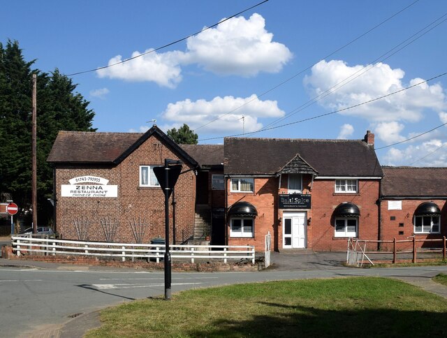
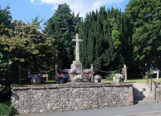
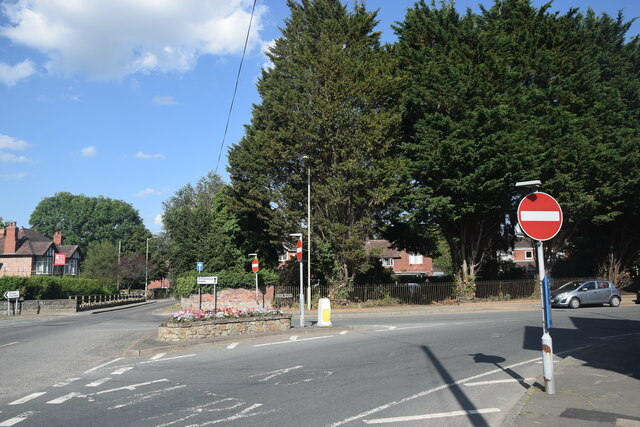
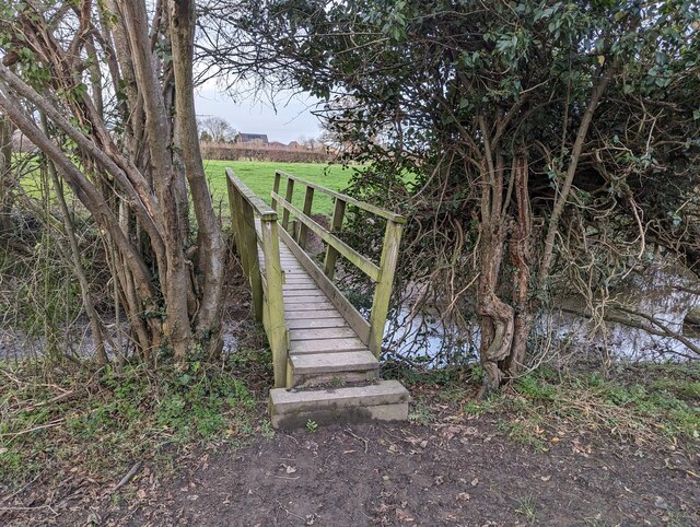
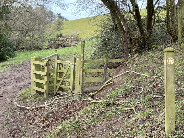
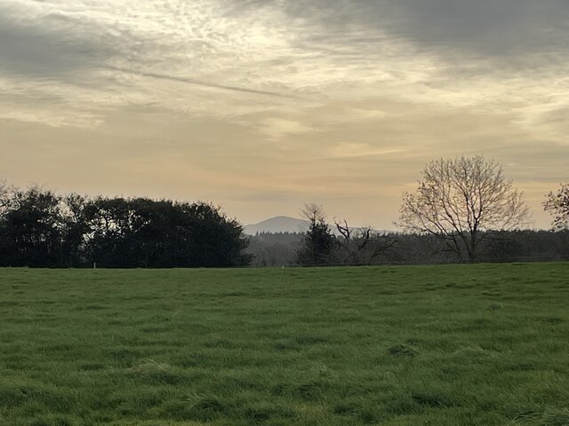
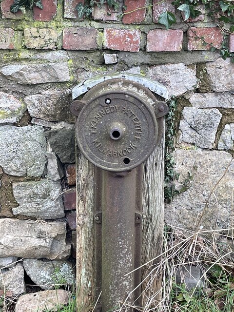
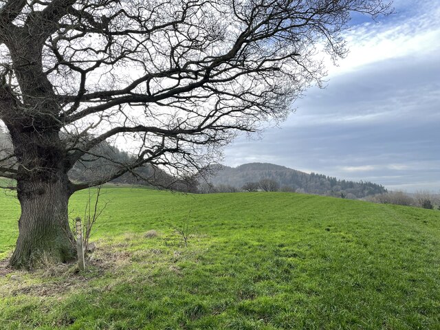
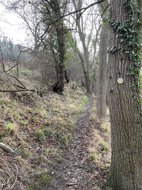
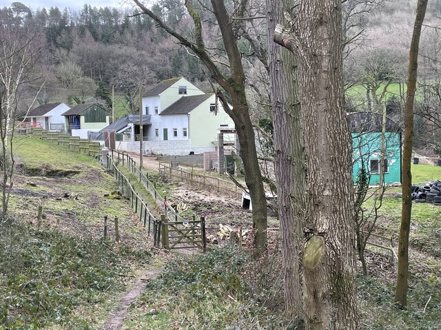
Little Plealey Images
Images are sourced within 2km of 52.654169/-2.8666957 or Grid Reference SJ4106. Thanks to Geograph Open Source API. All images are credited.


Little Plealey is located at Grid Ref: SJ4106 (Lat: 52.654169, Lng: -2.8666957)
Unitary Authority: Shropshire
Police Authority: West Merica
What 3 Words
///towns.weekends.heartless. Near Pontesbury, Shropshire
Nearby Locations
Related Wikis
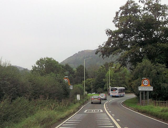
Pontesford
Pontesford is a small village in Shropshire, England. It is located on the A488 outside the large village of Pontesbury, southwest of Shrewsbury. The population...

Minsterley branch line
The Minsterley branch was a short railway line that ran from Cruckmeole Junction on the Cambrian Line just south of Shrewsbury to Minsterley in Shropshire...

Plealey
Plealey is a small village in Shropshire, England. It is located between Pontesford and Longden. == Local governance == The village lies in the parish...

Plealey Road railway station
Plealey Road railway station was a station to the north of Plealey, Shropshire, England. The station was opened in 1861 and closed in 1951. The station...
Nearby Amenities
Located within 500m of 52.654169,-2.8666957Have you been to Little Plealey?
Leave your review of Little Plealey below (or comments, questions and feedback).