High Wood
Wood, Forest in Northamptonshire
England
High Wood

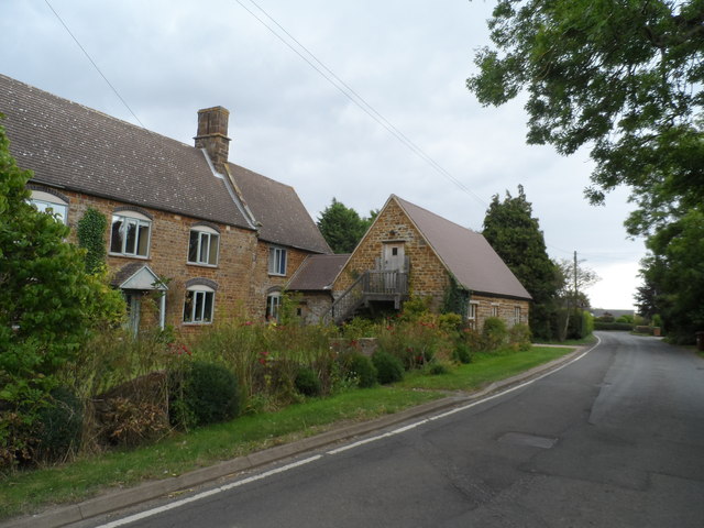
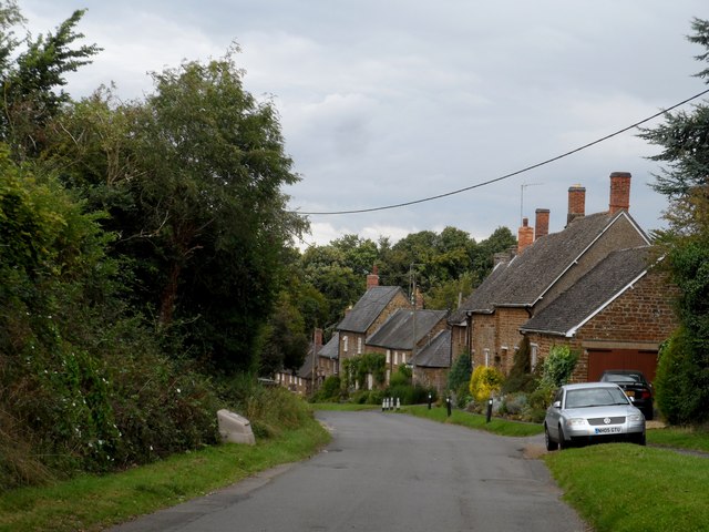
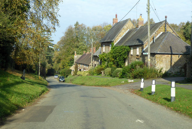
High Wood is a small village located in the county of Northamptonshire, England. Situated in a picturesque area known for its lush woodlands and rolling hills, this village is surrounded by the natural beauty of the English countryside. The village derives its name from the prominent woodland area, which is a defining feature of the landscape.
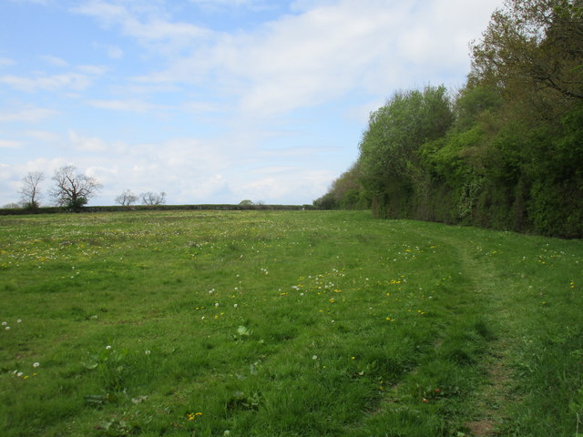
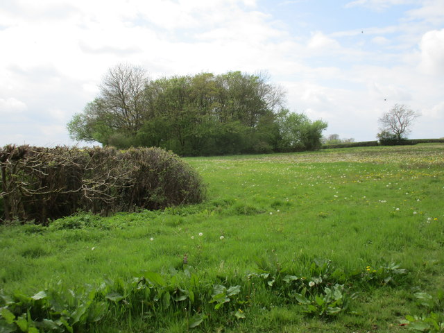
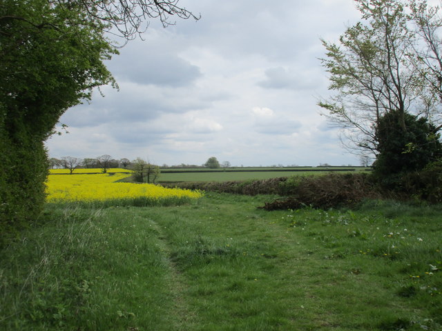
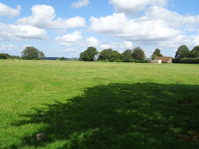
High Wood, as the name suggests, is characterized by its dense forest cover, consisting mainly of deciduous trees such as oak, beech, and ash. This wooded area not only adds to the scenic beauty of the village but also provides a habitat for a diverse range of flora and fauna. The forest is particularly known for its bluebells, which create a stunning carpet of vibrant colors during the spring season.
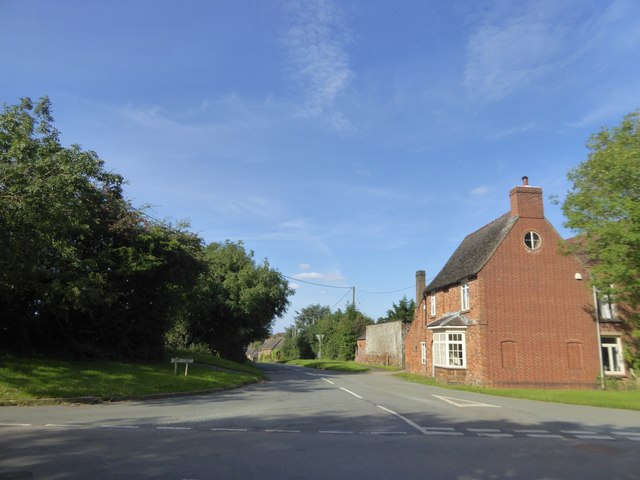
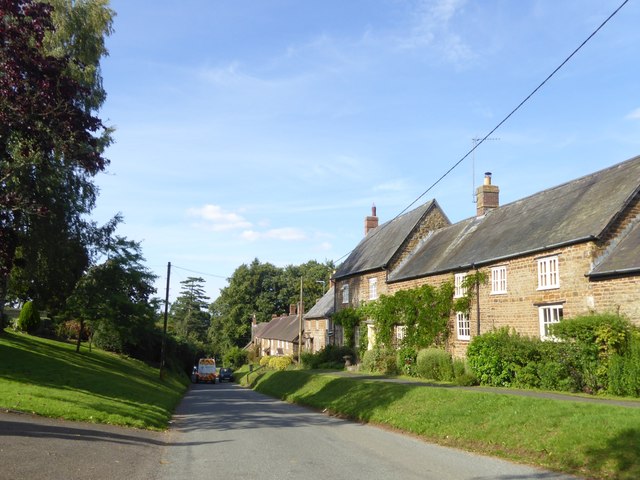
The village itself is a close-knit community, with a population of around 500 inhabitants. It has a quaint charm, with traditional cottages and well-maintained gardens dotting the village streets. The locals take pride in their community and actively participate in various events and festivals throughout the year.
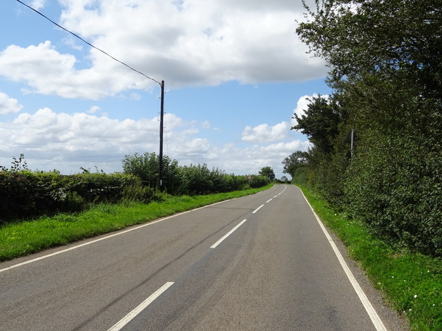
High Wood offers a peaceful and idyllic lifestyle, away from the hustle and bustle of larger towns and cities. Residents can enjoy the tranquility of the countryside while still having access to essential amenities. The village is also conveniently located near major transport links, making it easily accessible for visitors and residents alike.
Overall, High Wood, Northamptonshire, is a picturesque village with a rich natural environment, offering a serene and close-knit community for those seeking a peaceful countryside lifestyle.
If you have any feedback on the listing, please let us know in the comments section below.
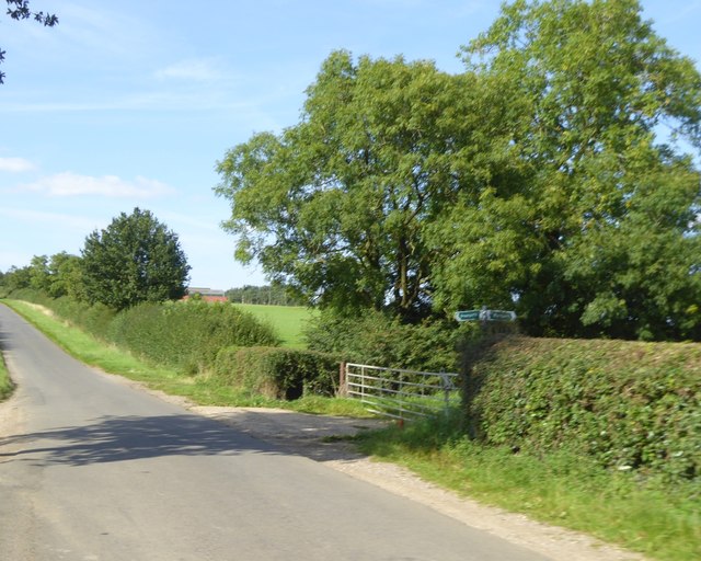
High Wood Images
Images are sourced within 2km of 52.188364/-1.1389825 or Grid Reference SP5854. Thanks to Geograph Open Source API. All images are credited.


High Wood is located at Grid Ref: SP5854 (Lat: 52.188364, Lng: -1.1389825)
Unitary Authority: West Northamptonshire
Police Authority: Northamptonshire
What 3 Words
///abstracts.suiting.stun. Near Hinton, Northamptonshire
Nearby Locations
Related Wikis

High Wood and Meadow
High Wood and Meadow is a 16.5-hectare (41-acre) biological Site of Special Scientific Interest between Farthingstone and Preston Capes in Northamptonshire...

Mantles Heath
Mantles Heath is a 13.7-hectare (34-acre) biological Site of Special Scientific Interest south of Daventry in Northamptonshire.Most of this woodland site...
Preston Capes
Preston Capes is a village and civil parish in West Northamptonshire in England. The population at the 2001 census was 188, including Canons Abbey and...

Snorscombe
Snorscombe is a ruined hamlet south of Everdon in Northamptonshire, England, whose rural location, now on private land, makes it extremely hard to access...
Farthingstone
Farthingstone is a village in West Northamptonshire in England. It is close to the major trunk routes of the M1 junction 16, M40 motorway, and A5 road...

Everdon Stubbs
Everdon Stubbs is a 29.5-hectare (73-acre) biological Site of Special Scientific Interest south-east of Everdon in Northamptonshire. It is owned and managed...
Everdon Priory
Everdon Priory was a priory in Northamptonshire, England. The village of Everdon is located about 6 km (4 miles) south-east of the town of Daventry. Some...

Maidford
Maidford is a civil and ecclesiastical parish in West Northamptonshire and the diocese of Peterborough situated about 6 miles (9.7 km) north-west of Towcester...
Nearby Amenities
Located within 500m of 52.188364,-1.1389825Have you been to High Wood?
Leave your review of High Wood below (or comments, questions and feedback).