Little Scatwell
Settlement in Ross-shire
Scotland
Little Scatwell
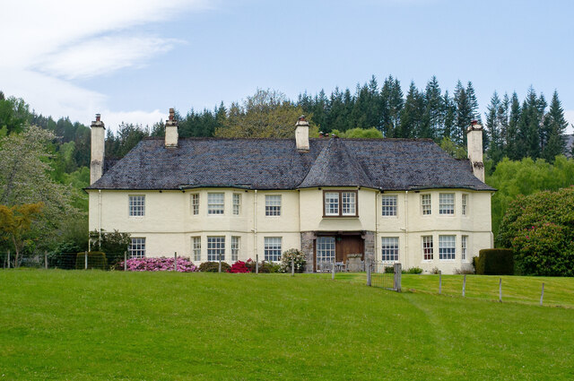
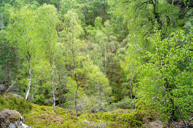
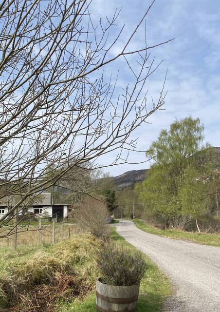
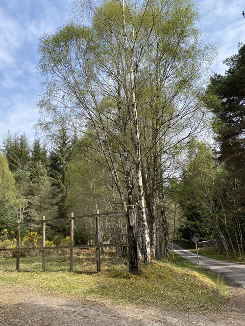
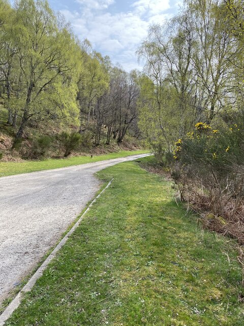
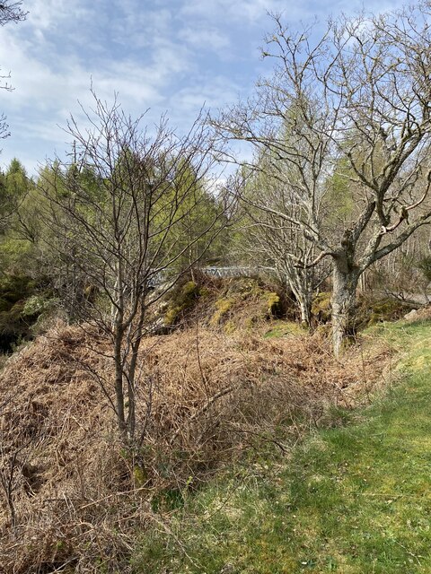
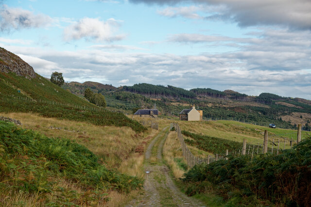
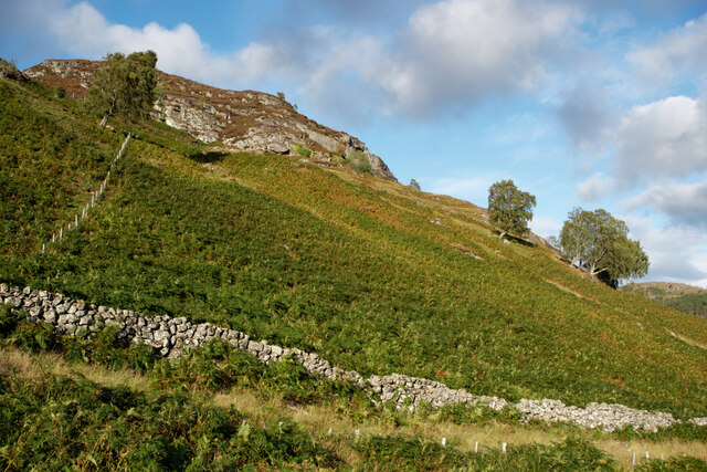
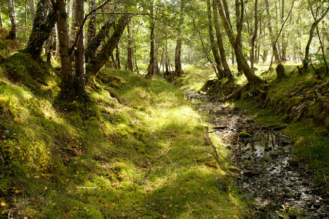
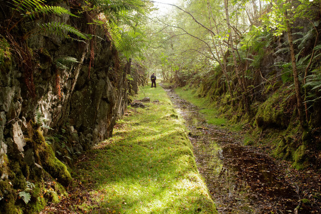
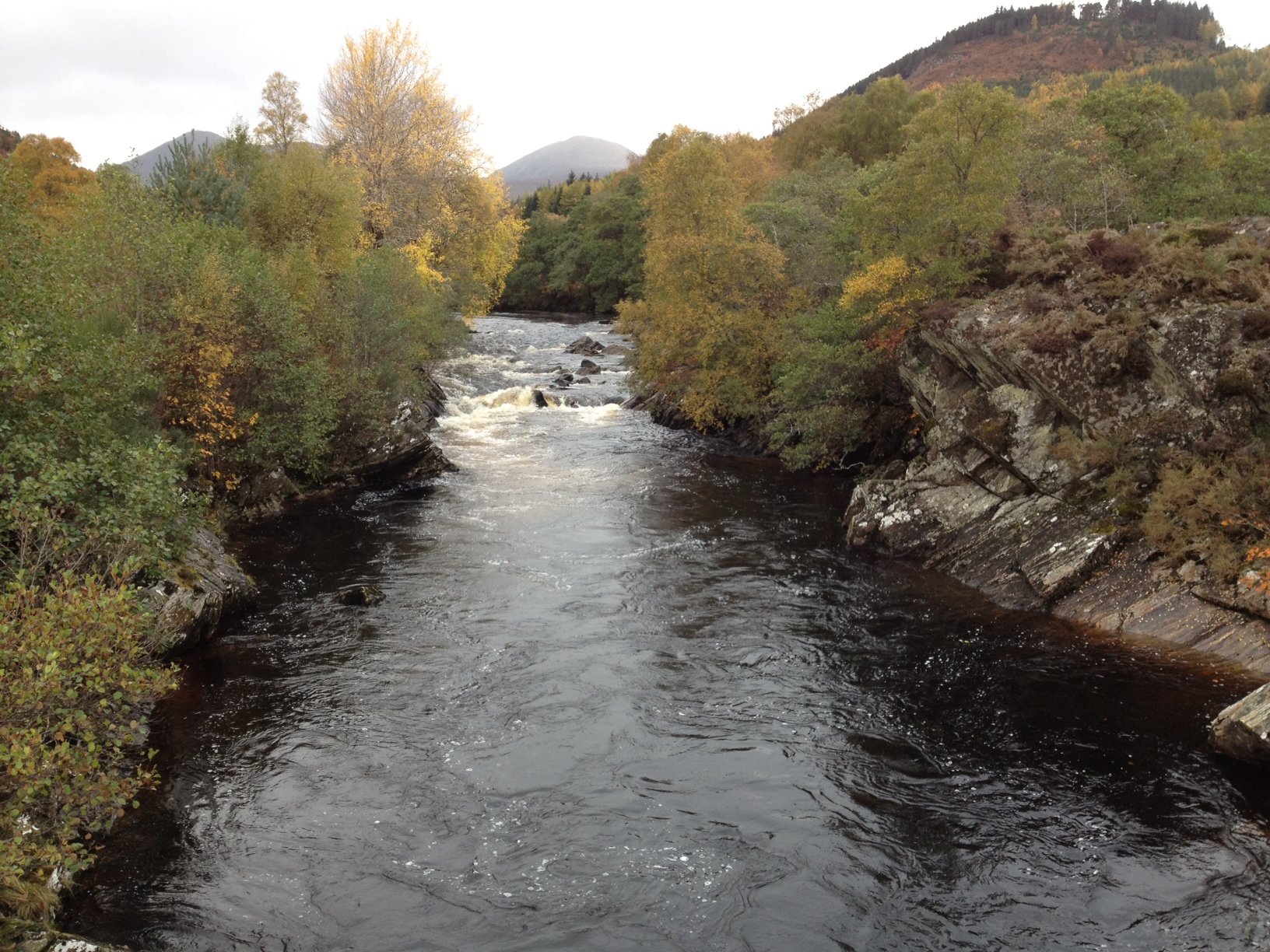
Little Scatwell is a small village located in Ross-shire, Scotland. Situated along the River Bran, it is known for its picturesque countryside and charming rural atmosphere. The village is surrounded by rolling hills and lush green fields, making it an ideal destination for nature lovers and outdoor enthusiasts.
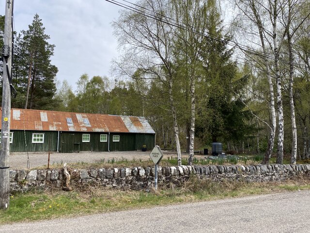
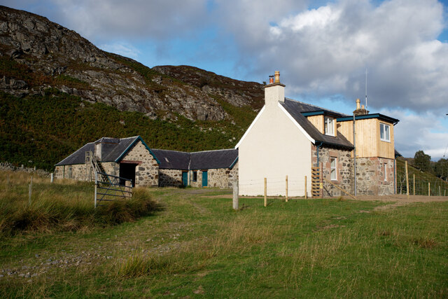
Little Scatwell is home to a tight-knit community of residents who take pride in their village's history and traditions. The village is known for its traditional architecture, with many of the buildings dating back to the 18th and 19th centuries. The local economy is primarily based on agriculture, with farming playing a significant role in the livelihood of many residents.
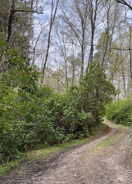
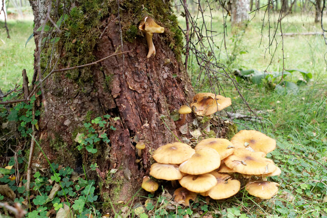
Visitors to Little Scatwell can enjoy exploring the scenic countryside, taking leisurely walks along the river, or simply relaxing in the peaceful surroundings. The village is also a popular spot for birdwatching, with a variety of avian species calling the area home.
Overall, Little Scatwell offers a serene and idyllic retreat for those looking to escape the hustle and bustle of city life and immerse themselves in the beauty of the Scottish countryside.
If you have any feedback on the listing, please let us know in the comments section below.
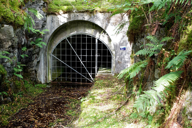
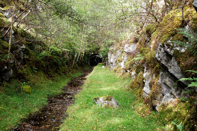
Little Scatwell Images
Images are sourced within 2km of 57.571505/-4.6980084 or Grid Reference NH3856. Thanks to Geograph Open Source API. All images are credited.
Little Scatwell is located at Grid Ref: NH3856 (Lat: 57.571505, Lng: -4.6980084)
Unitary Authority: Highland
Police Authority: Highlands and Islands
What 3 Words
///hoofs.creamed.amicably. Near Strathpeffer, Highland
Nearby Locations
Related Wikis
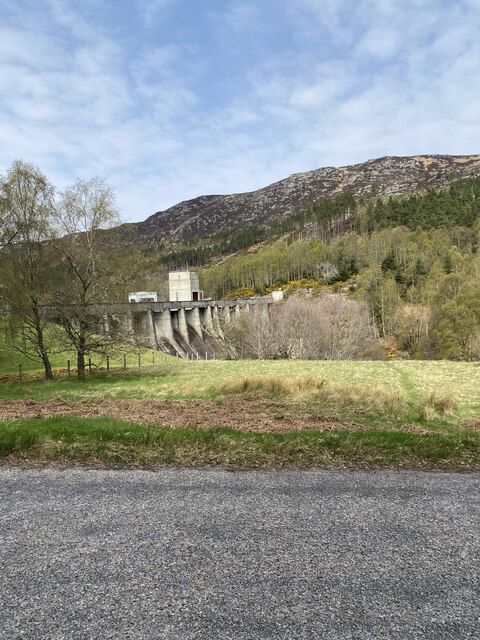
River Meig
The River Meig (Scottish Gaelic: Mìg) is a river in Easter Ross. It draws its source from the meeting of several allts in the forested hills north of Loch...

Loch Meig
Loch Meig (Scottish Gaelic: Loch Mìg) is a freshwater loch in Easter Ross, Scotland, 8.1 kilometres (5.0 mi) west of Contin. Situated on the River Meig...

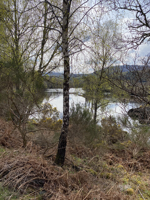
Loch Achilty
Loch Achilty is a large deep picturesque lowland freshwater loch set within a sloping birch and oakwood forest, located near Contin in Easter Ross in the...

Garve railway station
Garve railway station is a railway station on the Kyle of Lochalsh Line, serving the village of Garve in the north of Scotland. Garve is located at the...
Nearby Amenities
Located within 500m of 57.571505,-4.6980084Have you been to Little Scatwell?
Leave your review of Little Scatwell below (or comments, questions and feedback).