Little Sessay

Settlement in Yorkshire Hambleton

England

Little Sessay

Race Lane Looking along Race Lane leading towards Sessay.
Race Lane Credit: DS Pugh

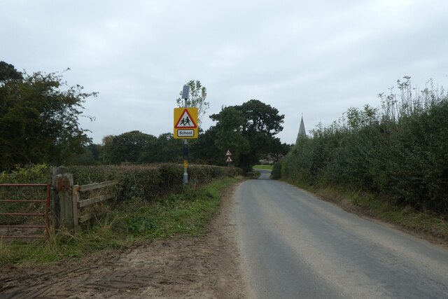
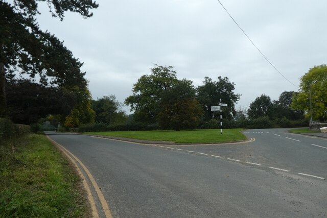
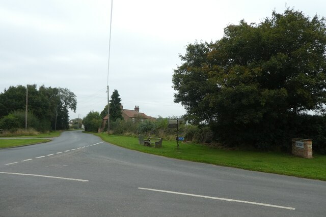
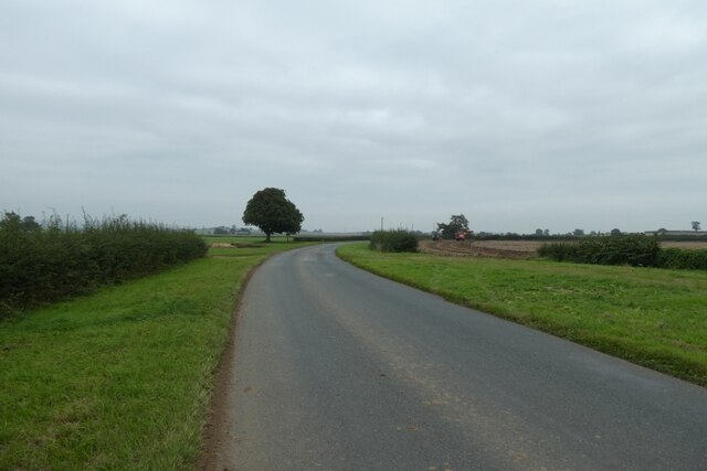
Little Sessay is a small village located in the Hambleton district of North Yorkshire, England. Situated approximately 4 miles north-east of Thirsk, it lies in the Vale of York, surrounded by picturesque countryside. The village is part of the larger civil parish of Sessay, which also includes the neighboring village of Great Sessay.

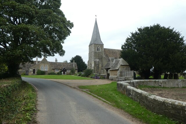
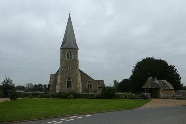
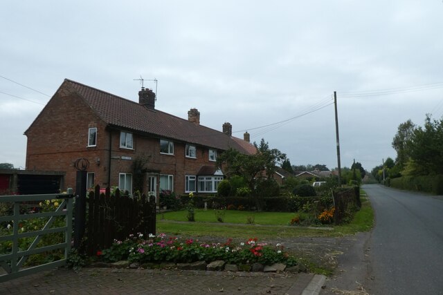
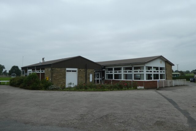
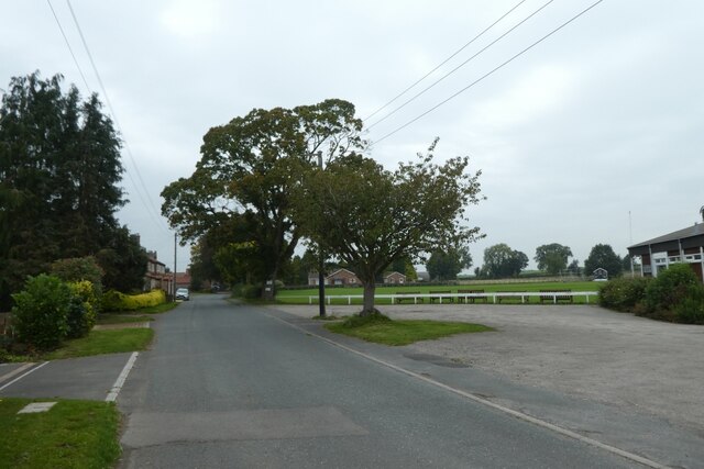
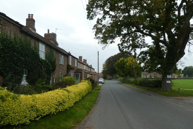
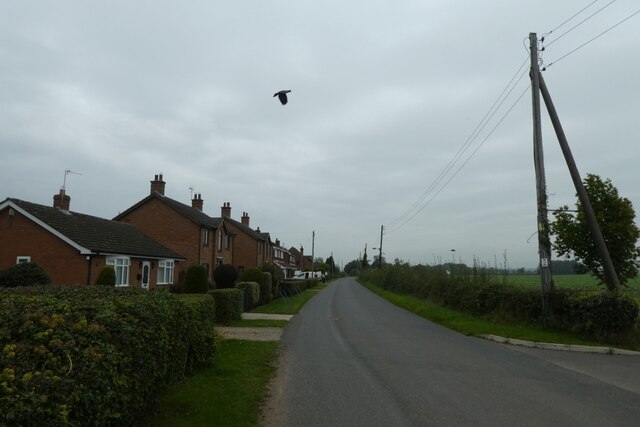
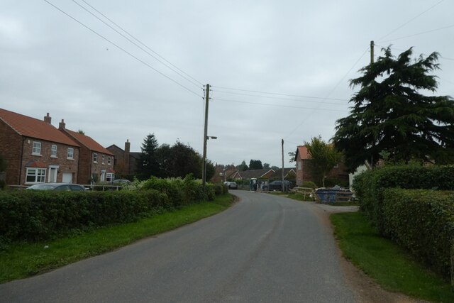
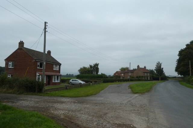
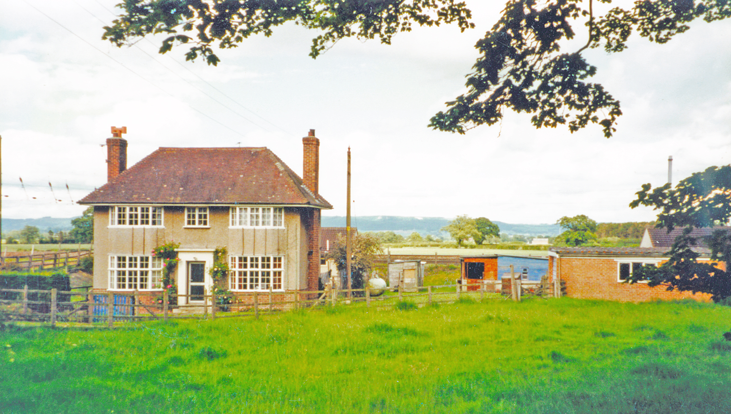
Little Sessay is a quintessentially English village, known for its charming rural character and peaceful atmosphere. It comprises a small number of houses, many of which are traditional stone-built cottages, along with a handful of farms that dot the surrounding landscape. The village is centered around St. Cuthbert's Church, a beautiful Grade II listed building that dates back to the 12th century.

Despite its small size, Little Sessay benefits from a strong sense of community. The village has a close-knit population, and residents often come together for various social events and activities. The local pub, The Black Swan, serves as a hub for the community, providing a place for villagers and visitors to gather and socialize.

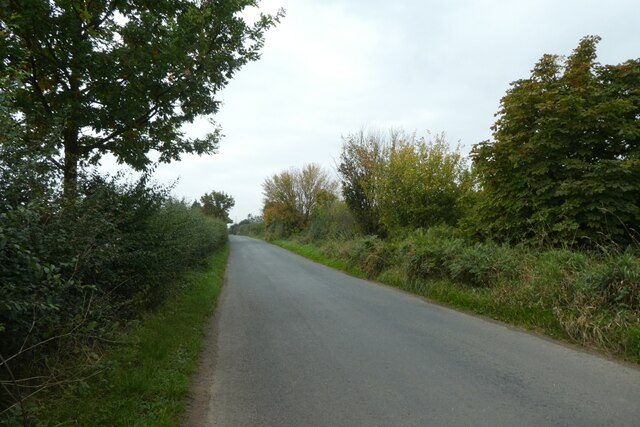
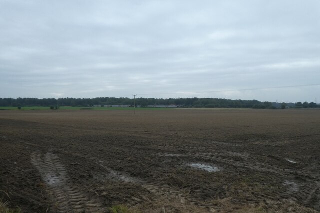
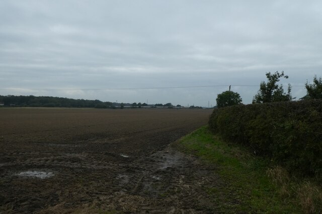
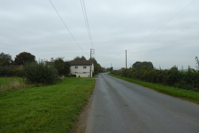
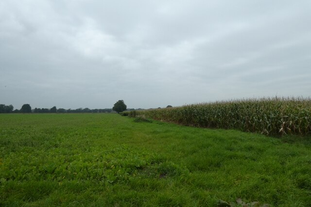
The surrounding area of Little Sessay offers plenty of opportunities for outdoor pursuits. The village is surrounded by rolling farmland, offering pleasant walks and scenic views. The nearby River Swale also provides opportunities for fishing and boating.

Overall, Little Sessay is a charming and tranquil village that offers a picturesque slice of English countryside life. Its sense of community, beautiful surroundings, and historic charm make it an attractive destination for those seeking a peaceful retreat in the heart of Yorkshire.

If you have any feedback on the listing, please let us know in the comments section below.

Little Sessay Images

Images are sourced within 2km of 54.167522/-1.2909472 or Grid Reference SE4674. Thanks to Geograph Open Source API. All images are credited.

Race Lane Looking along Race Lane leading towards Sessay.
Race Lane
Looking along Race Lane leading towards Sessay.
Fields beside Race Lane In the distance is the East Coast Mainline with the 1035 Bristol Temple Meads to Newcastle service (1S43) formed of 220021 and 221141 heading north.
Fields beside Race Lane
In the distance is the East Coast Mainline with the 1035 Bristol Temple Meads to Newcastle service (1S43) formed of 220021 and 221141 heading north.
Hedgerow near Ox Close Farm Looking across farmland beside Race Lane.
Hedgerow near Ox Close Farm
Looking across farmland beside Race Lane.
Approaching Little Sessay Looking along Race Lane.
Approaching Little Sessay
Looking along Race Lane.
St. Cuthbert's Church Looking along Race Lane from the bridge over Birdforth Beck.
St. Cuthbert's Church
Looking along Race Lane from the bridge over Birdforth Beck.
Signpost in Little Sessay Road junction in Little Sessay with Sessay to the left and Hutton Sessay to the right.
Signpost in Little Sessay
Road junction in Little Sessay with Sessay to the left and Hutton Sessay to the right.
St. Cuthbert's Church, Little Sessay Looking towards the Church beside the school.
St. Cuthbert's Church, Little Sessay
Looking towards the Church beside the school.
Park View Looking along a terrace of houses in Sessay.
Park View
Looking along a terrace of houses in Sessay.
Sessay Village Hall The village hall sits beside the cricket pitch.
Sessay Village Hall
The village hall sits beside the cricket pitch.
Road beside the Village Hall Looking though the village of Sessay with the cricket pitch and village hall to the right.
Road beside the Village Hall
Looking though the village of Sessay with the cricket pitch and village hall to the right.
Cottages in Sessay A similar view to <a href="https://www.geograph.org.uk/photo/199066">SE4575 : Sessay</a> around 15 years on.
Cottages in Sessay
A similar view to SE4575 : Sessay around 15 years on.
Sessay Village Looking through the village of Sessay.
Sessay Village
Looking through the village of Sessay.
Houses in Sessay Looking along the road through the village.
Houses in Sessay
Looking along the road through the village.
Road junction for Sessay Looking across the junction from the Sessay road along the road to Little Hutton.
Road junction for Sessay
Looking across the junction from the Sessay road along the road to Little Hutton.
Road near Little Hutton Looking along Low Lane.
Road near Little Hutton
Looking along Low Lane.
Little Hutton Around 15 years on from this similar view: <a href="https://www.geograph.org.uk/photo/198996">SE4576 : Little Hutton</a>
Little Hutton
Around 15 years on from this similar view: SE4576 : Little Hutton
Low Lane Looking along Low Lane between Little Hutton and Hutton Sessay.
Low Lane
Looking along Low Lane between Little Hutton and Hutton Sessay.
Field boundary beside Low Lane Looking north from the road between Little Hutton and Hutton Sessay.
Field boundary beside Low Lane
Looking north from the road between Little Hutton and Hutton Sessay.
Show me another place!

Little Sessay is located at Grid Ref: SE4674 (Lat: 54.167522, Lng: -1.2909472)

Division: North Riding

Administrative County: North Yorkshire

District: Hambleton

Police Authority: North Yorkshire

What 3 Words

///remind.kitten.dolls. Near Thirsk, North Yorkshire

Related Wikis

Sessay

Sessay is a small, linear village and civil parish in North Yorkshire, England. It is situated approximately 4 miles (6 km) south-east from Thirsk, and...

Pilmoor railway station

Pilmoor railway station was in North Yorkshire, England, from 1847 to 1958, at the junction of the Great North of England Railway and the Pilmoor, Boroughbridge...

Hutton Sessay

Hutton Sessay is a village and civil parish in the Hambleton district of North Yorkshire, England. In 2013 the population of the civil parish was estimated...

Sessay railway station

Sessay railway station served the village of Sessay, North Yorkshire, England from 1841 to 1964 on the East Coast Main Line. == History == The station...

Nearby Amenities

Located within 500m of 54.167522,-1.2909472
Little Sessay
Place: village
Lat/Long: 54.1667149/-1.2916959
Fixme: Where does that public footpath go from here?
Lat/Long: 54.168409/-1.2861835
Spilmans
Shop: farm
Lat/Long: 54.1668397/-1.2863369
Passing Place
Lat/Long: 54.167216/-1.2876599
Passing Place
Lat/Long: 54.1673272/-1.2883525
The data included in this document is from www.openstreetmap.org. The data is made available under ODbL.

Have you been to Little Sessay?

Leave your review of Little Sessay below (or comments, questions and feedback).