Little Norton

Settlement in Derbyshire

England

Little Norton

The Bowshaw pub. Along the road to Dronfield.
The Bowshaw pub. Credit: steven ruffles

Little Norton is a small village located in the county of Derbyshire, England. Situated in the Derbyshire Dales district, it is nestled within the picturesque Peak District National Park. The village is characterized by its tranquil and idyllic setting, offering residents and visitors a peaceful retreat from the hustle and bustle of city life.

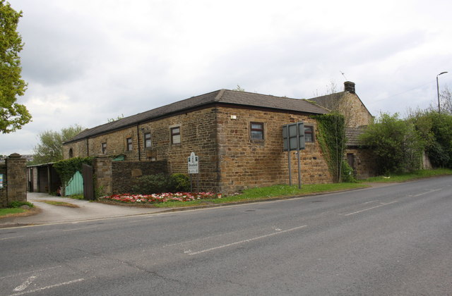
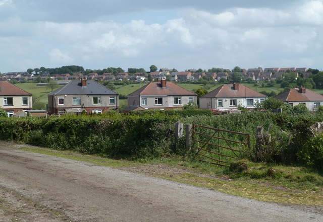
Little Norton is home to a tight-knit community, with a population of around 200 residents. The village boasts a charming and traditional atmosphere, with many of its buildings reflecting its rich history. The architecture showcases a mix of styles, ranging from quaint cottages to elegant Georgian houses.

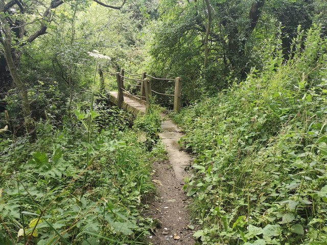
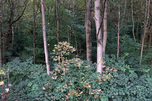
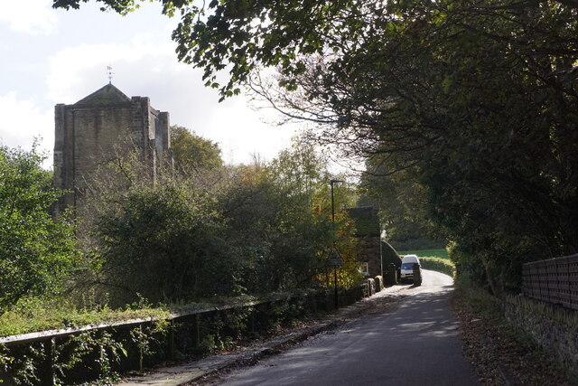
The village is surrounded by stunning natural beauty, with rolling hills, lush green fields, and meandering rivers. This makes it an ideal destination for outdoor enthusiasts, who can enjoy activities such as hiking, cycling, and fishing in the nearby rivers and reservoirs.

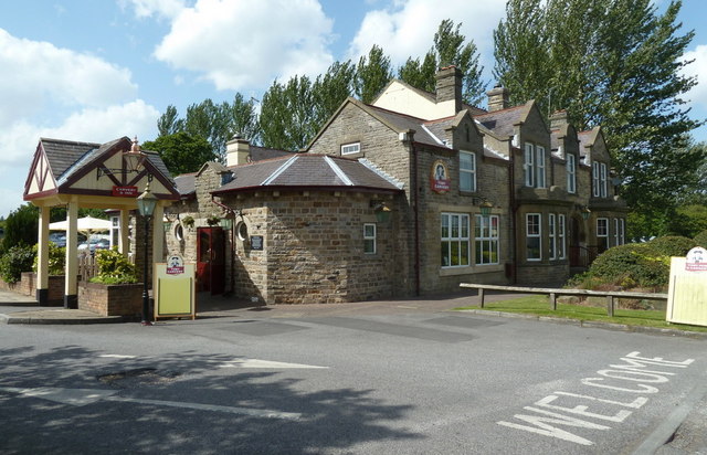
Little Norton is not only a picturesque village but also benefits from convenient amenities. It has a local pub that serves as a social hub for both residents and visitors, offering a warm and welcoming atmosphere. There is also a village hall, which hosts various community events throughout the year.

For those seeking further amenities, the nearby town of Ashbourne is just a short drive away, providing access to supermarkets, shops, and additional recreational facilities.

In summary, Little Norton is a charming and peaceful village, offering residents and visitors a slice of rural beauty and tranquility. Its stunning natural surroundings, tight-knit community, and convenient amenities make it an attractive destination within the Derbyshire Dales.

If you have any feedback on the listing, please let us know in the comments section below.

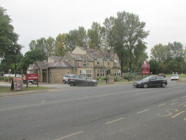
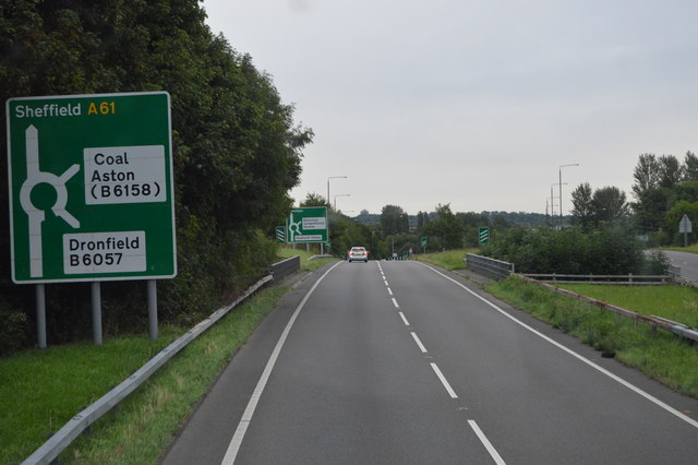
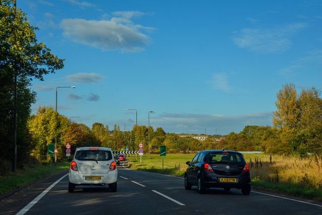
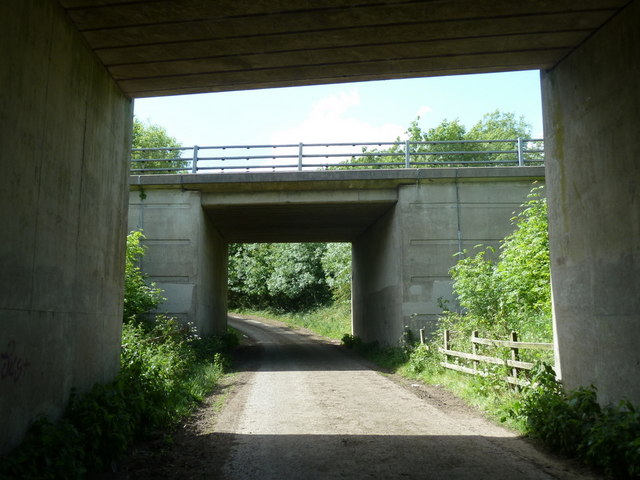
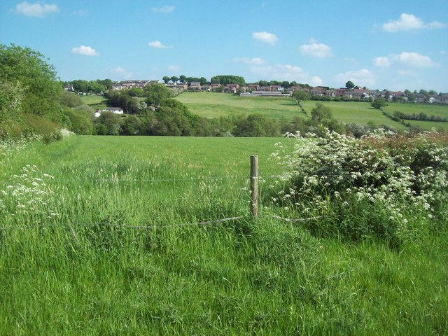
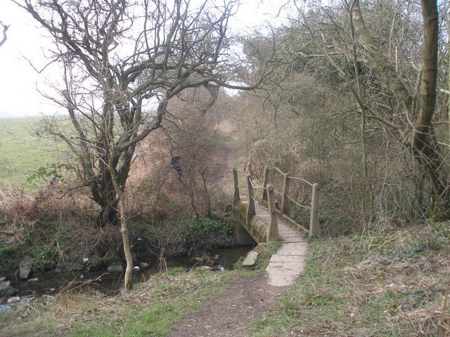
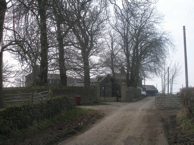
Little Norton Images

Images are sourced within 2km of 53.331151/-1.4717423 or Grid Reference SK3581. Thanks to Geograph Open Source API. All images are credited.

The Bowshaw pub. Along the road to Dronfield.
The Bowshaw pub.
Along the road to Dronfield.
A61 The A61 is a 107 mile long road from Derby to Thirsk.
<span class="nowrap"><a title="http://www.sabre-roads.org.uk/wiki/index.php?title=A61" rel="nofollow ugc noopener" href="http://www.sabre-roads.org.uk/wiki/index.php?title=A61">Link</a><img style="margin-left:2px;" alt="External link" title="External link - shift click to open in new window" src="https://s1.geograph.org.uk/img/external.png" width="10" height="10"/></span>
A61
The A61 is a 107 mile long road from Derby to Thirsk. LinkExternal link
North East Derbyshire : The A61 Unstone Dronfield By-Pass A road between Dronfield and Sheffield.
North East Derbyshire : The A61 Unstone Dronfield By-Pass
A road between Dronfield and Sheffield.
Benchmark on Middle Birchitt Farm building Ordnance Survey flush bracket (serial number 10262) benchmark described on the Bench Mark Database at <span class="nowrap"><a title="www.bench-marks.org.uk/bm10722" rel="nofollow ugc noopener" href="http://www.bench-marks.org.uk/bm10722">Link</a><img style="margin-left:2px;" alt="External link" title="External link - shift click to open in new window" src="https://s1.geograph.org.uk/img/external.png" width="10" height="10"/></span>
Benchmark on Middle Birchitt Farm building
Ordnance Survey flush bracket (serial number 10262) benchmark described on the Bench Mark Database at LinkExternal link
Middle Birchitt Farm beside B6057 There is an Ordnance Survey benchmark <a href="https://www.geograph.org.uk/photo/6480455">SK3579 : Benchmark on Middle Birchitt Farm building</a> on the near corner, road face, of the building
Middle Birchitt Farm beside B6057
There is an Ordnance Survey benchmark SK3579 : Benchmark on Middle Birchitt Farm building on the near corner, road face, of the building
Footbridge near Holmefield Farm
Bowshaw Inn A Toby Carvery establishment near the A61 junction north of Dronfield.  The 1:25,000 map confirms that it nestles right in the corner of the gridsquare.
Bowshaw Inn
A Toby Carvery establishment near the A61 junction north of Dronfield. The 1:25,000 map confirms that it nestles right in the corner of the gridsquare.
Farm track and houses by Sheffield Road Sheffield Road is now the B6057, having been superseded by the A61 Dronfield bypass.  The houses on the hill in the background are on Holmley Lane at the northern edge of Dronfield.
Farm track and houses by Sheffield Road
Sheffield Road is now the B6057, having been superseded by the A61 Dronfield bypass. The houses on the hill in the background are on Holmley Lane at the northern edge of Dronfield.
Double bridge under the A61 The lanes split as they approach the roundabout to the north.  The track serves a farm at Bowshaw.
Double bridge under the A61
The lanes split as they approach the roundabout to the north. The track serves a farm at Bowshaw.
The Sheffield Country Walk near Bowshaw Path crossing an area of lush grassland between Bowshaw and Coal Aston, the fringes of which can be seen on the horizon. This picture was taken on a warm Tuesday evening in late May.
The Sheffield Country Walk near Bowshaw
Path crossing an area of lush grassland between Bowshaw and Coal Aston, the fringes of which can be seen on the horizon. This picture was taken on a warm Tuesday evening in late May.
Footbridge west of Holmefield Farm
Bowshaw Farm
Bowshaw Farm
Bears of Sheffield: #57 Beartanical #57 of 61 big bear sculptures, this one was decorated by Vanessa Scott and is located in Graves Park.

Beartantical was inspired by the artist's many adventures and relaxing days spent exploring the hills and woodland surrounding the city, and the afternoons she has spent gazing at the beautiful star shaped plants at the botanical gardens.
Bears of Sheffield: #57 Beartanical
#57 of 61 big bear sculptures, this one was decorated by Vanessa Scott and is located in Graves Park. Beartantical was inspired by the artist's many adventures and relaxing days spent exploring the hills and woodland surrounding the city, and the afternoons she has spent gazing at the beautiful star shaped plants at the botanical gardens.
Sycamore tree in Graves Park One of my favourite trees and I can't resist a photo when I pass by!
Sycamore tree in Graves Park
One of my favourite trees and I can't resist a photo when I pass by!
Graves parkrunners Participants in the 405th Graves parkrun on a downhill section which comes as something of a relief from the hills that precede it.
Graves parkrunners
Participants in the 405th Graves parkrun on a downhill section which comes as something of a relief from the hills that precede it.
Footpath off Bocking Lane, Beauchief, Sheffield
Chancet Wood, Beauchief, Sheffield
Beauchief Abbey
Beauchief Abbey
Show me another place!

Little Norton is located at Grid Ref: SK3581 (Lat: 53.331151, Lng: -1.4717423)

Unitary Authority: Sheffield

Police Authority: South Yorkshire

What 3 Words

///critic.solar.filled. Near Dronfield, Derbyshire

Related Wikis

A6102 road

The A6102 is a 4 digit A road in South Yorkshire, England. == Route == It begins in the Greenhill area of Sheffield, at a junction with the A61 (at the...
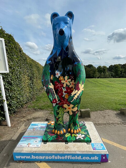
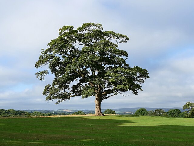
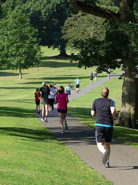
Graves Park

Graves Park is a large parkland area in the South of Sheffield, between the districts of Norton, Woodseats and Meadowhead. The park was developed by Alderman...

Meadowhead School

Meadowhead School is a mixed secondary school and Language College with academy status in Sheffield, South Yorkshire, England. There are currently around...
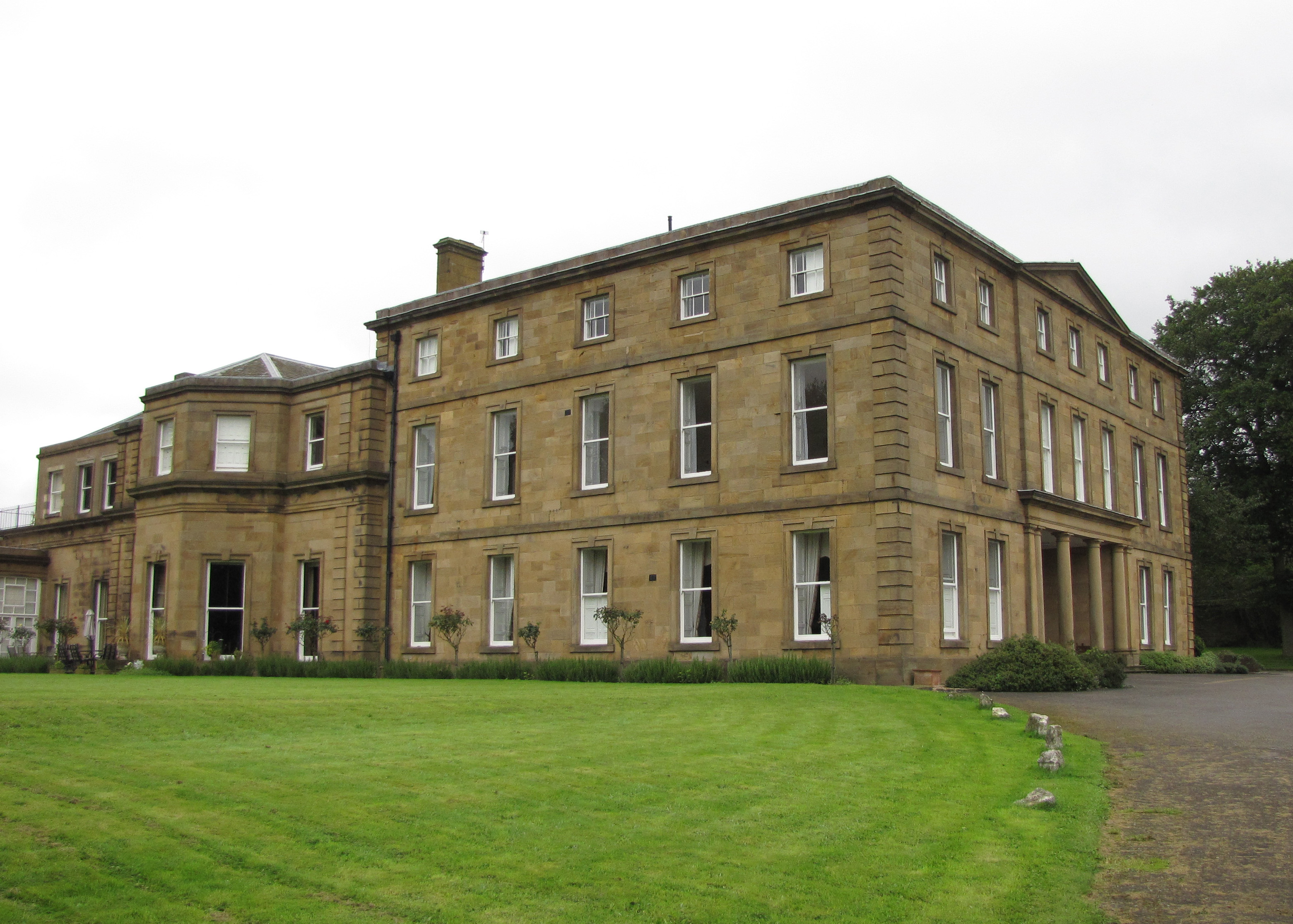
Norton Hall

Norton Hall is an English country house situated on Norton Church Road in the suburb of Norton in Sheffield, England. For most of its history it has been...

Nearby Amenities

Located within 500m of 53.331151,-1.4717423
Traffic Signals
Crossing: no
Lat/Long: 53.3280349/-1.4681041
Bochum Parkway/Little Norton Lane
Bus: yes
Public Transport: stop_position
Lat/Long: 53.3276353/-1.4692719
Turning Circle
Lat/Long: 53.3329037/-1.4731406
Turning Circle
Lat/Long: 53.3307141/-1.4738514
Crossing
Button Operated: yes
Crossing: traffic_signals
Crossing Island: no
Tactile Paving: yes
Traffic Signals Sound: yes
Traffic Signals Vibration: yes
Lat/Long: 53.3297699/-1.4753213
Crossing
Crossing: unmarked
Lat/Long: 53.3280408/-1.4740775
Traffic Calming: hump
Lat/Long: 53.3281305/-1.4726876
Crossing
Crossing: unmarked
Tactile Paving: no
Lat/Long: 53.328011/-1.4745194
Crossing
Bicycle: yes
Crossing: traffic_signals
Crossing Island: no
Crossing Ref: toucan
Tactile Paving: yes
Lat/Long: 53.326997/-1.4724734
Crossing
Bicycle: yes
Crossing: traffic_signals
Crossing Island: no
Crossing Ref: toucan
Tactile Paving: yes
Lat/Long: 53.3268902/-1.4722898
Post Box
Collection Times: Mo-Fr 09:00, Sa 07:00
Ref: S8 42
Lat/Long: 53.3298159/-1.47224
Painted Fabrics
Historic: memorial
Lat/Long: 53.3298095/-1.4728465
Power: substation
Ref GB Uprn: 10013555495
Lat/Long: 53.3298768/-1.4743833
Barrier: bollard
Bollard: fixed
Lat/Long: 53.3320713/-1.4729339
Barrier: bollard
Bollard: fixed
Lat/Long: 53.3328211/-1.4730972
Post Box
Collection Times: Mo-Fr 09:00, Sa 07:00
Ref: S8 736
Royal Cypher: GVIR
Royal Cypher Wikidata: Q33102169
Lat/Long: 53.3318884/-1.4761232
Fast Food
Wraggy's Fish and chips
Addr City: Sheffield
Addr Country: GB
Addr Housenumber: 298A
Addr Postcode: S8 7UH
Addr Street: Meadow Head
Cuisine: fish_and_chips
Fhrs Id: 437522
Lat/Long: 53.3296308/-1.4756654
Crossing
Crossing: unmarked
Crossing Island: no
Kerb: lowered
Tactile Paving: no
Lat/Long: 53.3319727/-1.4763607
Crossing
Crossing: unmarked
Tactile Paving: no
Lat/Long: 53.327579/-1.4743807
Crusty Cob...
Shop: deli
Lat/Long: 53.3282188/-1.4740657
Shop: convenience
Lat/Long: 53.3281556/-1.4740326
Dry Cleaners & Launderette
Shop: dry_cleaning
Lat/Long: 53.3281104/-1.4740103
Restaurant
Ferdinando's
Addr City: Sheffield
Addr Country: GB
Addr Housenumber: 329
Addr Postcode: S8 7UP
Addr Street: Meadow Head
Fhrs Id: 435637
Opening Hours: Tu-Sa 17:30-22:30; Su,Mo off
Wheelchair: limited
Lat/Long: 53.3280501/-1.4739825
Restaurant
China Delight
Addr City: Sheffield
Addr Country: GB
Addr Housenumber: 331
Addr Postcode: S8 7UP
Addr Street: Meadow Head
Cuisine: chinese
Fhrs Id: 582977
Opening Hours: Tu-Th 17:00-23:00; Fr,Sa 17:00-23:55; Su 17:00-23:00
Wheelchair: limited
Lat/Long: 53.3280136/-1.4739677
Bank
Barclays
Atm: yes
Brand: Barclays
Brand Wikidata: Q245343
Operator: Barclays Bank PLC
Lat/Long: 53.3276271/-1.4745106
Meadowhead Meats
Addr City: Sheffield
Addr Country: GB
Addr Housenumber: 358
Addr Postcode: S8 7UJ
Addr Street: Meadow Head
Fhrs Id: 437147
Shop: butcher
Lat/Long: 53.3276763/-1.4745285
Mitchells Wines
Check Date: 2009-03-15
Shop: alcohol
Lat/Long: 53.3277907/-1.4745881
Fast Food
Sunset Pizza
Addr City: Sheffield
Addr Country: GB
Addr Housenumber: 350A
Addr Postcode: S8 7UJ
Addr Street: Meadow Head
Fhrs Id: 435679
Lat/Long: 53.3278477/-1.4746164
Fast Food
Hasina's Special Balti House
Addr City: Sheffield
Addr Housenumber: 350
Addr Postcode: S8 7UJ
Addr Street: Meadowhead
Fhrs Id: 435664
Lat/Long: 53.327889/-1.4746395
Cafe
The Lime Lounge Cafe
Addr City: Sheffield
Addr Country: GB
Addr Housenumber: 348B
Addr Postcode: S8 7UJ
Addr Street: Meadow Head
Fhrs Id: 696812
Lat/Long: 53.3279987/-1.474688
Telephone
Booth: KXPlus
Check Date: 2022-08-02
Covered: booth
Lat/Long: 53.3278276/-1.4740977
Post Box
Collection Times: Mo-Fr 17:00; Sa 12:00
Post Box Type: pillar
Ref: S8 467
Royal Cypher: EIIR
Royal Cypher Wikidata: Q33102113
Lat/Long: 53.3276548/-1.4738848
Bus Stop
Meadowhead/Charles Ashmore Road
Bench: no
Bin: no
Bus: yes
Lit: no
Naptan AtcoCode: 370021757
Naptan Bearing: SE
Naptan CommonName: Meadowhead/Charles Ashmore Road
Naptan Indicator: 21757
Naptan Landmark: Graves Park
Naptan PlusbusZoneRef: ROTHCEN
Naptan Street: Meadowhead
Naptan Verified: no
Public Transport: platform
Shelter: no
Source: naptan_import
Tactile Paving: yes
Lat/Long: 53.3327808/-1.4777467
Bus Stop
Meadowhead/Charles Ashmore Road
Bench: yes
Bin: yes
Bus: yes
Naptan AtcoCode: 370021758
Naptan Bearing: NW
Naptan CommonName: Meadowhead/Charles Ashmore Road
Naptan Indicator: 21758
Naptan Landmark: Park Gates
Naptan PlusbusZoneRef: ROTHCEN
Naptan Street: Meadowhead
Naptan Verified: no
Public Transport: platform
Shelter: yes
Source: naptan_import
Tactile Paving: yes
Lat/Long: 53.3324332/-1.4775623
Bus Stop
Meadowhead/The Norton
Bench: yes
Bin: yes
Bus: yes
Naptan AtcoCode: 370022031
Naptan Bearing: N
Naptan CommonName: Meadowhead/The Norton
Naptan Indicator: 22031
Naptan Landmark: Subway
Naptan PlusbusZoneRef: ROTHCEN
Naptan Street: Meadowhead
Naptan Verified: no
Public Transport: platform
Shelter: yes
Source: naptan_import
Tactile Paving: yes
Lat/Long: 53.3281957/-1.4746711
Bus Stop
Meadowhead/Hunstone Avenue/The Norton
Bench: yes
Bus: yes
Naptan AtcoCode: 370022032
Naptan Bearing: S
Naptan CommonName: Meadowhead/Hunstone Avenue/The Norton
Naptan Indicator: 22032
Naptan Landmark: THE NORTON
Naptan PlusbusZoneRef: ROTHCEN
Naptan Street: Meadowhead
Naptan Verified: no
Public Transport: platform
Shelter: yes
Source: naptan_import
Tactile Paving: yes
Lat/Long: 53.3275185/-1.4739888
Bus Stop
Meadowhead/Greenfield Road
Bench: no
Bin: no
Bus: yes
Naptan AtcoCode: 370022033
Naptan Bearing: SE
Naptan CommonName: Meadowhead/Greenfield Road
Naptan Indicator: 22033
Naptan Landmark: Opposite No. 280
Naptan PlusbusZoneRef: ROTHCEN
Naptan Street: Meadowhead
Public Transport: platform
Shelter: yes
Tactile Paving: yes
Lat/Long: 53.3306306/-1.4756602
Bus Stop
Meadowhead/Little Norton Lane
Alt Name: Meadowhead/Little Norton Lane
Bench: yes
Bus: yes
Naptan AltCommonName: Meadowhead/Little Norton Lane
Naptan AtcoCode: 370022034
Naptan Bearing: NW
Naptan CommonName: Meadowhead/Little Norton Lane
Naptan Indicator: 22034
Naptan Landmark: 22034
Naptan PlusbusZoneRef: ROTHCEN
Naptan Street: Meadowhead
Naptan Verified: no
Public Transport: platform
Shelter: yes
Source: naptan_import
Tactile Paving: yes
Lat/Long: 53.330286/-1.4757867
Bus Stop
Bochum Parkway/Norton Lane
Alt Name: Bochum Parkway/Norton Lane
Bus: yes
Naptan AltCommonName: Bochum Parkway/Norton Lane
Naptan AtcoCode: 370022045
Naptan Bearing: NE
Naptan CommonName: Bochum Parkway/Norton Lane
Naptan Indicator: 22045
Naptan Landmark: Subway
Naptan PlusbusZoneRef: CHFD;ROTHCEN
Naptan Street: Bochum Parkway
Naptan Verified: no
Public Transport: platform
Source: naptan_import
Lat/Long: 53.3300742/-1.4645274
Bus Stop
Bochum Parkway/Little Norton Lane
Alt Name: Bochum Parkway/Little Norton Lane
Bench: no
Bin: no
Bus: yes
Naptan AltCommonName: Bochum Parkway/Little Norton Lane
Naptan AtcoCode: 370022046
Naptan Bearing: NE
Naptan CommonName: Bochum Parkway/Little Norton Lane
Naptan Indicator: 22046
Naptan Landmark: Subway
Naptan PlusbusZoneRef: CHFD;ROTHCEN
Naptan Street: Bochum Parkway
Naptan Verified: no
Public Transport: platform
Shelter: no
Source: naptan_import
Lat/Long: 53.3277185/-1.4693148
Bus Stop
Bochum Parkway/Dyche Lane
Alt Name: Bochum Parkway/Dyche Lane
Bench: yes
Bus: yes
Naptan AltCommonName: Bochum Parkway/Dyche Lane
Naptan AtcoCode: 370022048
Naptan Bearing: SW
Naptan CommonName: Bochum Parkway/Dyche Lane
Naptan Indicator: 22048
Naptan Landmark: Rowlinson School
Naptan PlusbusZoneRef: CHFD;ROTHCEN
Naptan Street: Bochum Parkway
Naptan Verified: no
Public Transport: platform
Shelter: yes
Source: naptan_import
Tactile Paving: yes
Lat/Long: 53.3274274/-1.4691528
Meadowhead
Is In: South Yorkshire, England, UK
Place: neighbourhood
Lat/Long: 53.3276358/-1.4741683
Crossing
Bicycle: yes
Crossing: traffic_signals
Crossing Ref: toucan
Tactile Paving: yes
Lat/Long: 53.3273746/-1.469484
Crossing
Bicycle: yes
Crossing: traffic_signals
Crossing Ref: toucan
Tactile Paving: yes
Lat/Long: 53.3274714/-1.4697492
Crossing
Crossing: unmarked
Crossing Island: no
Kerb: lowered
Tactile Paving: no
Lat/Long: 53.3295515/-1.475406
Traffic Signals
Crossing: no
Lat/Long: 53.326992/-1.47254
Turning Circle
Lat/Long: 53.3288924/-1.4729645
Traffic Calming: hump
Lat/Long: 53.3280704/-1.4702996
Entrance: yes
Lat/Long: 53.3292229/-1.4730655
Traffic Signals
Crossing: no
Lat/Long: 53.3271787/-1.4697736
Crossing
Bicycle: yes
Crossing: traffic_signals
Crossing Island: yes
Crossing Ref: toucan
Tactile Paving: yes
Lat/Long: 53.3272392/-1.4696374
Traffic Calming: hump
Lat/Long: 53.3287235/-1.4708065
Back To Your Best
Healthcare: alternative
Healthcare Speciality: chiropractic
Phone: +44 114 235 9509
Website: http://www.btyb.co.uk
Lat/Long: 53.3279668/-1.4746777
Meadowhead/The Norton
Bus: yes
Public Transport: stop_position
Lat/Long: 53.3282278/-1.474482
Traffic Calming: hump
Lat/Long: 53.3283756/-1.4713445
Traffic Calming: hump
Lat/Long: 53.327317/-1.4719588
Golf: pin
Ref: 2
Lat/Long: 53.3338514/-1.4762168
Golf: pin
Ref: 3
Lat/Long: 53.3340684/-1.4773004
Golf: pin
Ref: 8
Lat/Long: 53.3338074/-1.4769396
Golf: pin
Ref: 6
Lat/Long: 53.3334398/-1.478211
Golf: pin
Ref: 9
Lat/Long: 53.3335079/-1.4757782
Golf: pin
Ref: 1
Lat/Long: 53.3335671/-1.4744693
Crossing
Crossing: unmarked
Crossing Island: no
Tactile Paving: yes
Lat/Long: 53.3292312/-1.4655101
Fairways
Office: estate_agent
Lat/Long: 53.327721/-1.4745507
Meadowhead Funeral Home
Shop: funeral_directors
Lat/Long: 53.3275297/-1.4744764
Fast Food
Subway
Brand: Subway
Brand Wikidata: Q244457
Contact Website: https://restaurants.subway.com/united-kingdom/en/sheffield/morrisons-chesterfield-road
Cuisine: sandwich
Takeaway: yes
Lat/Long: 53.3271616/-1.4747103
Barber & Sun
Shop: hairdresser
Lat/Long: 53.3281891/-1.4740534
Post Office
Meadow Head Post Office
Addr City: Sheffield
Addr Country: GB
Addr Housenumber: 335
Addr Postcode: S8 7UP
Addr Street: Meadow Head
Brand: Post Office
Brand Wikidata: Q1783168
Check Date Opening Hours: 2022-08-02
Opening Hours: Mo-Sa 07:00-20:00; Su 08:00-20:00
Operator: Premier
Ref Pol Id: 10223
Website: https://www.postoffice.co.uk/branch-finder/2583402/meadow-head
Wheelchair: yes
Lat/Long: 53.3277452/-1.4737975
Post Box
Post Box Type: pillar
Ref: S8 660
Lat/Long: 53.3297664/-1.4657613
Crossing
Bicycle: yes
Crossing: traffic_signals
Crossing Island: yes
Crossing Ref: toucan
Lat/Long: 53.3278497/-1.4680667
Crossing
Bicycle: yes
Crossing: traffic_signals
Crossing Island: yes
Crossing Ref: toucan
Tactile Paving: yes
Lat/Long: 53.3278399/-1.4682485
Traffic Signals
Crossing: no
Lat/Long: 53.327954/-1.4685169
Barrier: yes
Lat/Long: 53.3278539/-1.4679147
Bochum Parkway/Dyche Lane
Bus: yes
Public Transport: stop_position
Lat/Long: 53.3274844/-1.4692073
Meadowhead/Charles Ashmore Road
Bus: yes
Public Transport: stop_position
Lat/Long: 53.3327534/-1.4778162
Meadowhead/Charles Ashmore Road
Bus: yes
Public Transport: stop_position
Lat/Long: 53.3324914/-1.4774254
Meadowhead/Little Norton Lane
Bus: yes
Public Transport: stop_position
Lat/Long: 53.3303108/-1.4755956
Meadowhead/Greenfield Road
Bus: yes
Public Transport: stop_position
Lat/Long: 53.3305891/-1.4757289
Meadowhead/Hunstone Avenue/The Norton
Bicycle: yes
Bus: yes
Public Transport: stop_position
Lat/Long: 53.3275165/-1.4740405
Bochum Parkway/Norton Lane
Bus: yes
Public Transport: stop_position
Lat/Long: 53.3300438/-1.4644784
Traffic Signals
Crossing: no
Lat/Long: 53.3268995/-1.4722095
Crossing
Crossing: unmarked
Crossing Island: no
Tactile Paving: yes
Lat/Long: 53.3289177/-1.4661188
Traffic Signals
Crossing: no
Lat/Long: 53.3277982/-1.4681983
Crossing
Bicycle: yes
Crossing: traffic_signals
Crossing Island: yes
Crossing Ref: toucan
Tactile Paving: yes
Lat/Long: 53.3271958/-1.4697986
Traffic Signals
Crossing: no
Lat/Long: 53.3274514/-1.469813
Traffic Signals
Crossing: no
Lat/Long: 53.3273953/-1.4694281
Traffic Signals
Crossing: no
Traffic Signals Direction: backward
Lat/Long: 53.3298046/-1.4753397
Traffic Signals
Crossing: no
Traffic Signals Direction: forward
Lat/Long: 53.329722/-1.475293
Direction: 150
Man Made: surveillance
Surveillance: public
Surveillance Type: ALPR
Lat/Long: 53.3275072/-1.4743069
Direction: 65
Man Made: surveillance
Surveillance: public
Surveillance Type: ALPR
Lat/Long: 53.326963/-1.4721837
Grit Bin
Operator: Sheffield City Council
Operator Type: government
Operator Wikidata: Q7492609
Seasonal: no
Lat/Long: 53.3269504/-1.4730546
Grit Bin
Operator: Sheffield City Council
Operator Type: government
Operator Wikidata: Q7492609
Seasonal: no
Lat/Long: 53.3289986/-1.4727741
Grit Bin
Operator: Sheffield City Council
Operator Type: government
Operator Wikidata: Q7492609
Seasonal: no
Lat/Long: 53.3293301/-1.4765988
Grit Bin
Operator: Sheffield City Council
Operator Type: government
Operator Wikidata: Q7492609
Seasonal: no
Lat/Long: 53.329031/-1.4719629
Grit Bin
Operator: Sheffield City Council
Operator Type: government
Operator Wikidata: Q7492609
Seasonal: no
Lat/Long: 53.3311046/-1.4713367
Grit Bin
Operator: Sheffield City Council
Operator Type: government
Operator Wikidata: Q7492609
Seasonal: no
Lat/Long: 53.3272143/-1.473772
Grit Bin
Operator: Sheffield City Council
Operator Type: government
Operator Wikidata: Q7492609
Seasonal: no
Lat/Long: 53.3290727/-1.4671726
Crossing
Bicycle: yes
Lat/Long: 53.3270242/-1.4695788
The data included in this document is from www.openstreetmap.org. The data is made available under ODbL.

Have you been to Little Norton?

Leave your review of Little Norton below (or comments, questions and feedback).