Little Pennard

Settlement in Somerset Mendip

England

Little Pennard

Festival tracks, Worthy Farm
Festival tracks, Worthy Farm Credit: Roger Cornfoot

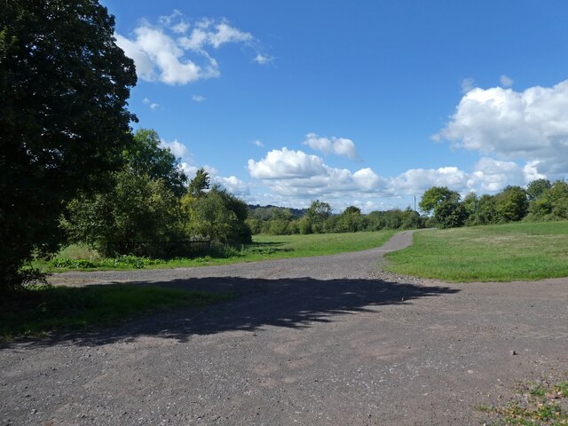
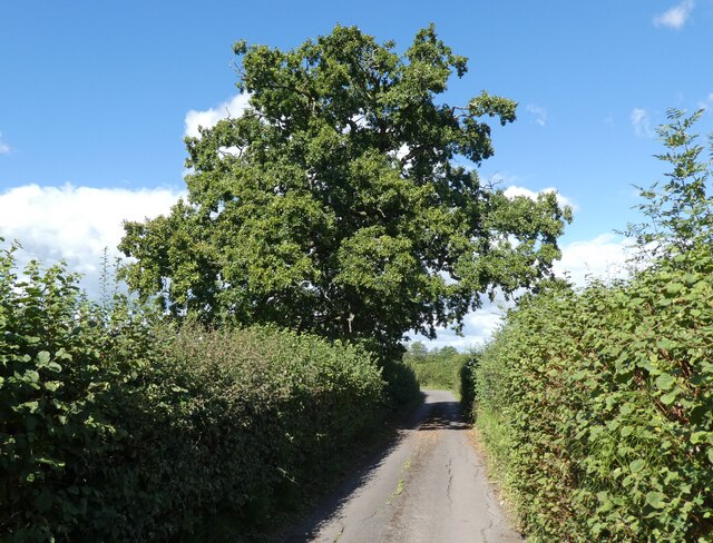
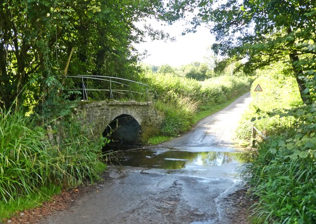
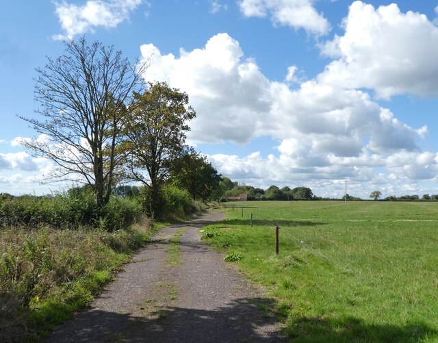
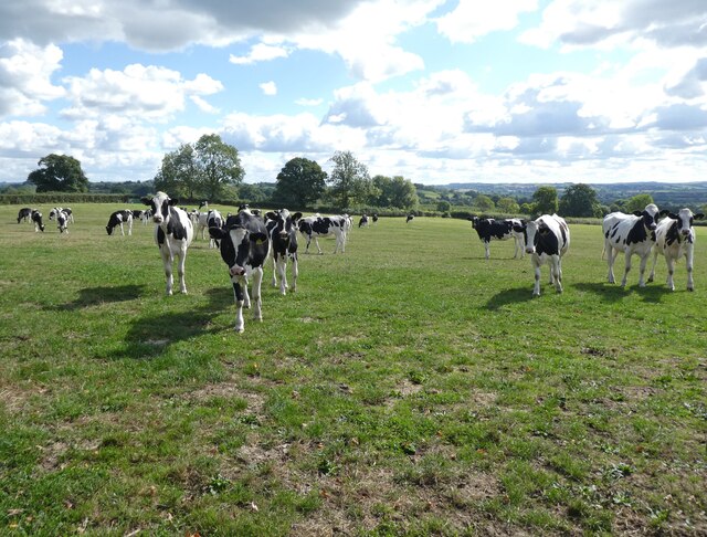
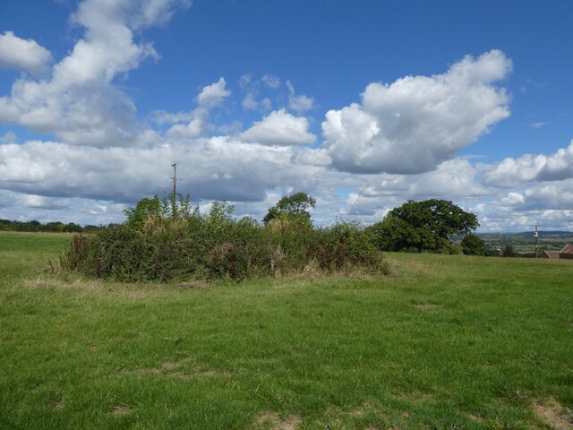
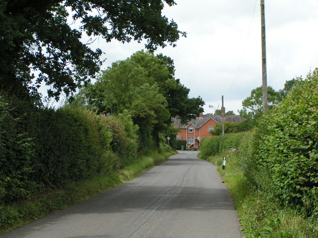
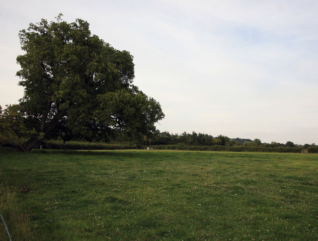
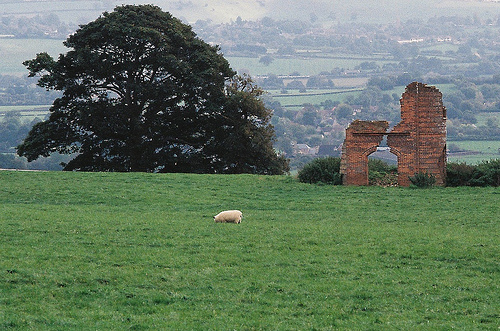
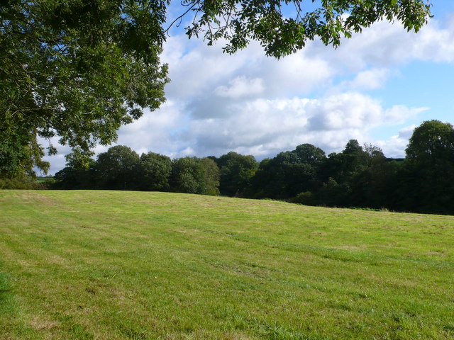
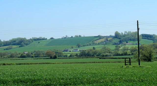
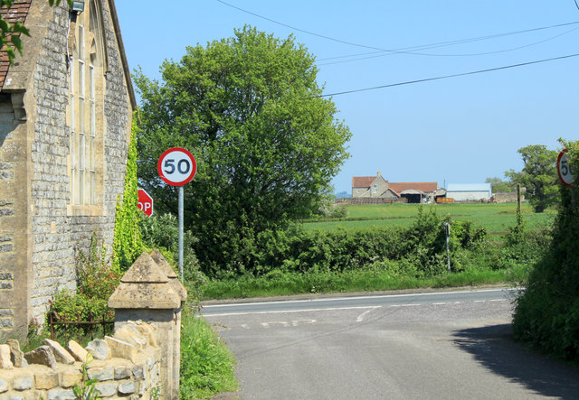
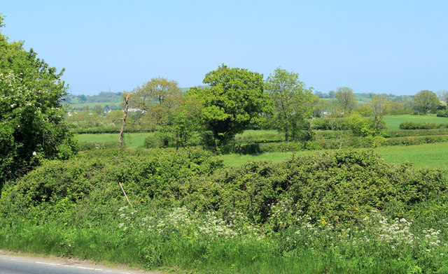
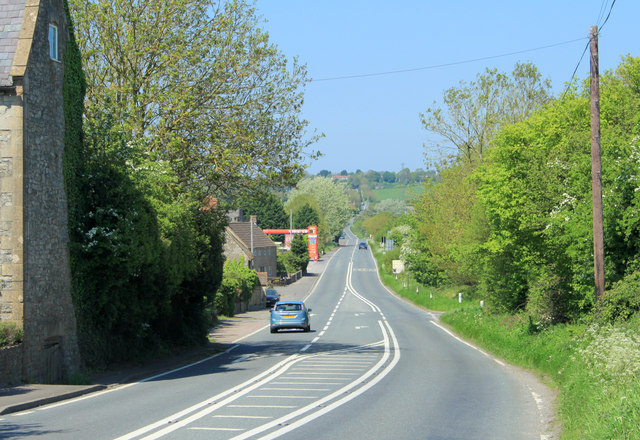
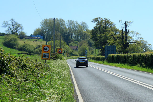
Little Pennard is a small village located in the county of Somerset, England. Situated near the coast, it lies approximately 4 miles south of the town of Bridgwater and is part of the Sedgemoor district. The village is surrounded by picturesque countryside, characterized by rolling hills and lush green fields.

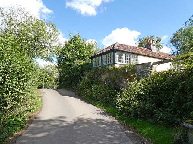
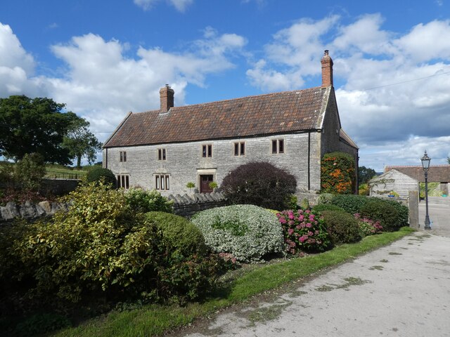
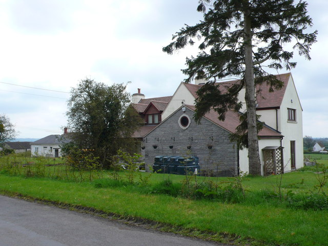
With a population of around 500 residents, Little Pennard has a tight-knit community and a peaceful ambiance. The village is predominantly residential, with a scattering of traditional stone-built houses and cottages. Its charming appearance is further enhanced by its well-maintained gardens and flower-filled streets.

Although small in size, Little Pennard offers a few amenities to its residents. These include a village hall, which serves as a social hub for various community events and activities. Additionally, there is a local pub that acts as a gathering place for both locals and visitors alike.

The village benefits from its proximity to the beautiful Somerset coastline. Just a short distance away, residents can enjoy the sandy beaches of Bridgwater Bay and the striking views across the Bristol Channel. This coastal location also provides opportunities for outdoor activities such as walking, cycling, and birdwatching.

Overall, Little Pennard is a tranquil and idyllic village, perfect for those seeking a peaceful rural lifestyle. With its stunning natural surroundings and strong community spirit, it offers a charming retreat from the hustle and bustle of nearby towns.

If you have any feedback on the listing, please let us know in the comments section below.

Little Pennard Images

Images are sourced within 2km of 51.1368/-2.5630466 or Grid Reference ST6037. Thanks to Geograph Open Source API. All images are credited.

Festival tracks, Worthy Farm
Cockmill Lane
Cockmill Lane
Former crossing keeper's cottage on the Evercreech Junction to Glastonbury railway Now part of Cockmill Cottage.
Former crossing keeper's cottage on the Evercreech Junction to Glastonbury railway
Now part of Cockmill Cottage.
Ford on Cockmill Lane Unfortunately, access to the lovely stone footbridge has not been maintained.
Ford on Cockmill Lane
Unfortunately, access to the lovely stone footbridge has not been maintained.
Track, on Pennard Hill
Cattle at Pennard Hill Farm
Covered reservoir at Pennard Hill Farm Beneath the shrubbery!
Covered reservoir at Pennard Hill Farm
Beneath the shrubbery!
Pennard Hill Farm
Pennard Hill Farm
Looking towards the Fosse Way
Evening view across the fields. Taken from nr Roses Farm.
Evening view across the fields.
Taken from nr Roses Farm.
Old Brick Ruin (folly?) Photo taken across fields to a brick ruin on Ditcheat Hill.
Old Brick Ruin (folly?)
Photo taken across fields to a brick ruin on Ditcheat Hill.
Recently Mown Field A cut of hay or silage had recently been taken of this field just south of the road between Little Pennard and East Pennard between Anvil House and Batch Farm.
Recently Mown Field
A cut of hay or silage had recently been taken of this field just south of the road between Little Pennard and East Pennard between Anvil House and Batch Farm.
House near Wraxal Cross Roads. This house appeared to be a completely new house sitting just north of the road from Wraxall west to Hembridge.
House near Wraxal Cross Roads.
This house appeared to be a completely new house sitting just north of the road from Wraxall west to Hembridge.
2012 : East of south from Hedge Lane A footpath crosses the wheatfield, the stile gives a clue.
Looking over farmland to Easton Hill. 
Beyond the stile the A37 climbs the hill, just possible to see a cutting near the top.
2012 : East of south from Hedge Lane
A footpath crosses the wheatfield, the stile gives a clue. Looking over farmland to Easton Hill. Beyond the stile the A37 climbs the hill, just possible to see a cutting near the top.
2012 : Where Pylle Lane meets the A37 The building on the left is the village hall, once a chapel.
Lower Easton Farm is behind.
2012 : Where Pylle Lane meets the A37
The building on the left is the village hall, once a chapel. Lower Easton Farm is behind.
2012 : North east from the A37 Taken from the Village Hall car park at the end of Pylle Lane.
A glimpse or two of the Bath and West Showground can be seen through the trees. 
Maes Down is behind.
2012 : North east from the A37
Taken from the Village Hall car park at the end of Pylle Lane. A glimpse or two of the Bath and West Showground can be seen through the trees. Maes Down is behind.
2012 : A37 Fosse Way looking north toward Shepton Mallet Near the eastern end of Pylle Lane.
2012 : A37 Fosse Way looking north toward Shepton Mallet
Near the eastern end of Pylle Lane.
2012 : A37 near the end of Pylle Lane looking south The next place of any note is Ilchester. Apologies to Wraxall and Lydford on Fosse.
Hillcroft Farm is on the hillside straight ahead.
2012 : A37 near the end of Pylle Lane looking south
The next place of any note is Ilchester. Apologies to Wraxall and Lydford on Fosse. Hillcroft Farm is on the hillside straight ahead.
Show me another place!

Little Pennard is located at Grid Ref: ST6037 (Lat: 51.1368, Lng: -2.5630466)

Administrative County: Somerset

District: Mendip

Police Authority: Avon and Somerset

What 3 Words

///lifters.discloses.costly. Near Evercreech, Somerset

Nearby Locations

Little Pennard

Related Wikis

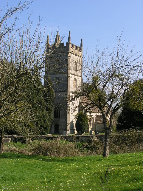
Church of St Thomas à Becket, Pylle

The Anglican Church of St Thomas à Becket in Pylle, Somerset, England, was built in the 15th century. It is a Grade II* listed building. == History... ==

Pylle

Pylle is a village and civil parish 4 miles (6.4 km) south west of Shepton Mallet, and 7 miles (11.3 km) from Wells, in the Mendip district of Somerset...

East Pennard

East Pennard is a village and civil parish 4 miles (6.4 km) north west of Castle Cary, and 5 miles (8.0 km) south of Shepton Mallet, in the Mendip district...

Pylle railway station

Pylle railway station was a station on the Highbridge branch of the Somerset and Dorset Joint Railway. Opened 3 February 1862 on the original S&DJR main...

Glastonbury Festival

Glastonbury Festival (formally Glastonbury Festival of Contemporary Performing Arts and known colloquially as Glasto) is a five-day festival of contemporary...
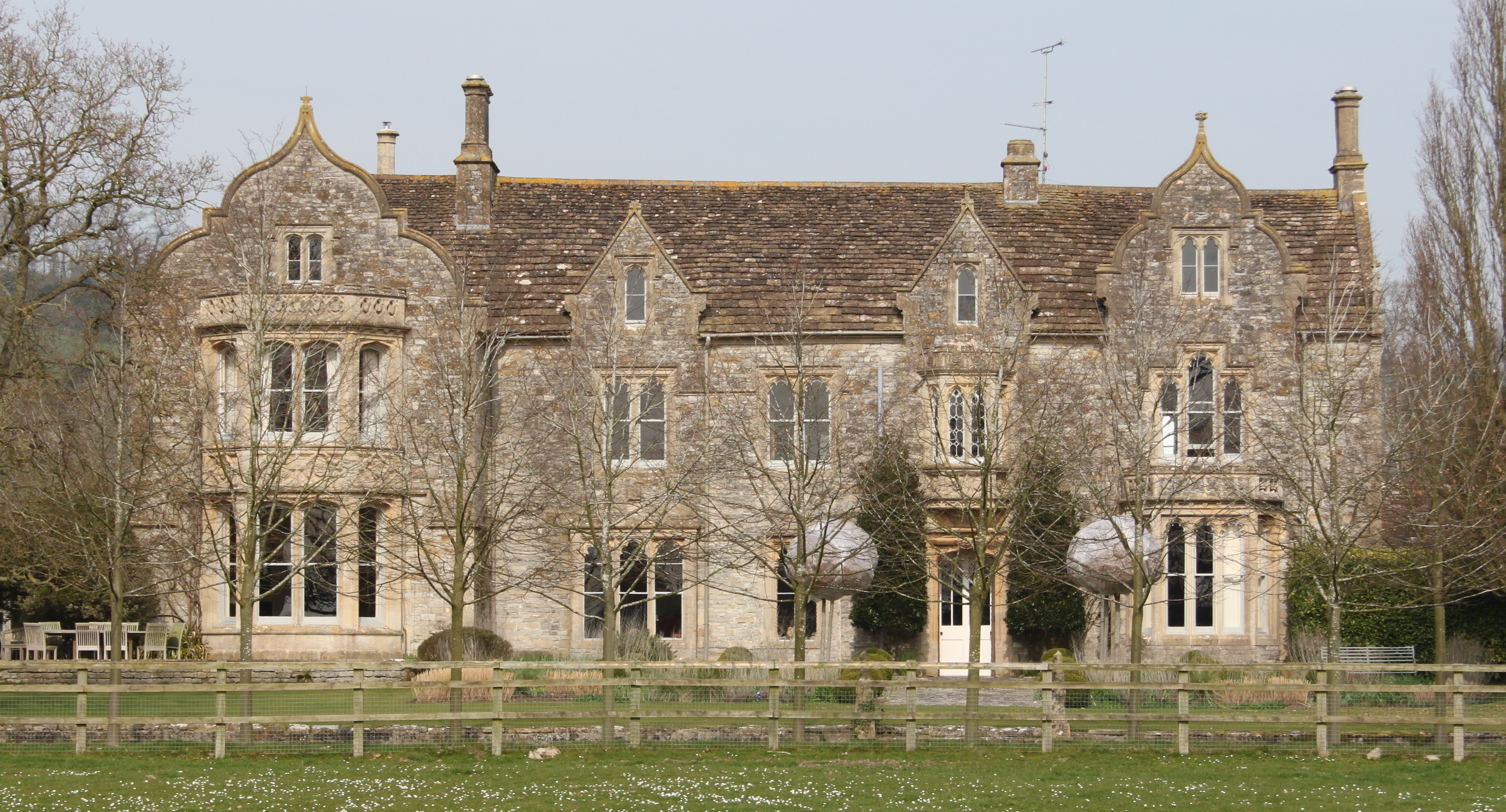
The Abbey, Ditcheat

The Abbey, Ditcheat (formerly known as The Priory) is a large house at Ditcheat in Somerset. Originally a rectory, now converted into a house, the Grade...

Ditcheat

Ditcheat is a village and civil parish 4.5 miles (7 km) south of Shepton Mallet, and 2.5 miles (4 km) north-west of Castle Cary, in Somerset, England....

Worthy FM

Worthy FM is the onsite radio station of The Glastonbury Festival. It broadcasts on 87.7 MHz FM and online for one week only during the Festival, operating...

Nearby Amenities

Located within 500m of 51.1368,-2.5630466
Little Pennard
Place: hamlet
Source: OS7
Lat/Long: 51.1363926/-2.5630654
Barrier: stile
Stile: stepover
Lat/Long: 51.139944/-2.5674633
The data included in this document is from www.openstreetmap.org. The data is made available under ODbL.

Have you been to Little Pennard?

Leave your review of Little Pennard below (or comments, questions and feedback).