Little Mosterley

Settlement in Shropshire

England

Little Mosterley

The bridleway below Fetch Hill
The bridleway below Fetch Hill Credit: Richard Law

Little Mosterley is a small village located in Shropshire, England. Situated in the West Midlands region, it is nestled in the picturesque countryside and characterized by its peaceful and idyllic setting. The village is part of the civil parish of Much Wenlock and lies approximately 5 miles east of the town center.

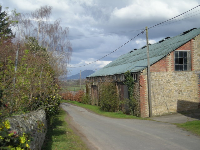
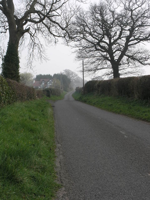
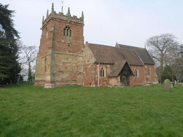
Little Mosterley is a quintessentially English village, with its charming stone houses, well-maintained gardens, and narrow winding lanes. The community is relatively small, consisting of a close-knit group of residents who take pride in their village and its heritage. The local church, St. James' Church, is a prominent feature in the village and serves as a gathering place for religious services and community events.

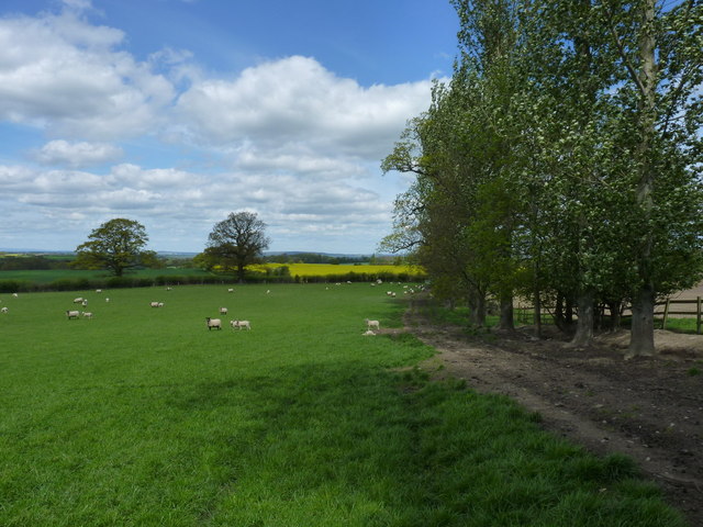
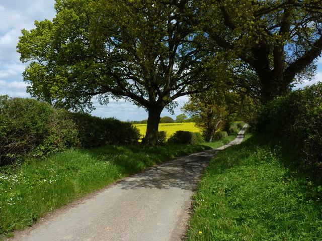
The village is surrounded by lush green fields and rolling hills, providing ample opportunities for outdoor activities such as hiking and cycling. The nearby Wenlock Edge, a limestone escarpment, offers stunning views of the surrounding countryside and is a popular destination for nature enthusiasts.

Despite its small size, Little Mosterley benefits from its proximity to larger towns and cities. The nearby town of Much Wenlock offers a range of amenities, including shops, restaurants, and schools. The city of Shrewsbury, located approximately 14 miles to the north, provides additional services and entertainment options.

In summary, Little Mosterley is a peaceful and picturesque village in Shropshire, characterized by its rural setting, charming architecture, and community spirit. It offers a tranquil retreat for those seeking a slower pace of life while still enjoying the conveniences of nearby towns and cities.

If you have any feedback on the listing, please let us know in the comments section below.

Little Mosterley Images

Images are sourced within 2km of 52.623504/-2.6555956 or Grid Reference SJ5503. Thanks to Geograph Open Source API. All images are credited.

The bridleway below Fetch Hill
Beehives on the hillside above Bull Farm These hives were quite active, with a couple of loose swarms forming in the adjacent trees. I kept Daft Dog well clear of those.
Beehives on the hillside above Bull Farm
These hives were quite active, with a couple of loose swarms forming in the adjacent trees. I kept Daft Dog well clear of those.
Bee swarm in hawthorn tree One of two swarms in the trees, beside a row of hives near Bull Farm.
Bee swarm in hawthorn tree
One of two swarms in the trees, beside a row of hives near Bull Farm.
Sheep grazing near Stonewall Wood The bridleway here runs through the delightfully-named Swallowtail Meadow.
Sheep grazing near Stonewall Wood
The bridleway here runs through the delightfully-named Swallowtail Meadow.
Along the lane towards Harnage Grange
Footpath and a field near Williams Wood
Harnage Grange A view of part of the extensive complex of farm buildings at Harnage Grange.
Harnage Grange
A view of part of the extensive complex of farm buildings at Harnage Grange.
Cut benchmark on a stone in the wall at Harnage Grange The stone strongly resembles a milestone, but apart from the cutmark (lower right), there's little lettering that can be made out.
Edit Late 2019 - it turns out to be a milestone after all <a href="https://www.geograph.org.uk/photo/6050857">SJ5602 : Old Milestone by Harnage Grange, Cound parish</a> shows a little more detail, albeit not that much.
Cut benchmark on a stone in the wall at Harnage Grange
The stone strongly resembles a milestone, but apart from the cutmark (lower right), there's little lettering that can be made out. Edit Late 2019 - it turns out to be a milestone after all SJ5602 : Old Milestone by Harnage Grange, Cound parish shows a little more detail, albeit not that much.
Freshly laid hedge near Woodside The Wrekin features in most of the views from this area.
Freshly laid hedge near Woodside
The Wrekin features in most of the views from this area.
Ford at Coundmoor This irish bridge ford on the Coundmoor Brook is found just before 'Dingle View' in Coundmoor. There is a second ford on the brook on the road just around the corner.
Ford at Coundmoor
This irish bridge ford on the Coundmoor Brook is found just before 'Dingle View' in Coundmoor. There is a second ford on the brook on the road just around the corner.
Ford at Coundmoor This is the second of the two Coundmoor Brook fords. This one is found along the road leading to Acton Pigott.
Ford at Coundmoor
This is the second of the two Coundmoor Brook fords. This one is found along the road leading to Acton Pigott.
Bullhill Brook Ford This ford is found on the Bullhill Brook close to Kenley and Evenwood. A channel runs alongside the road after the ford for some 20 metres.
<span class="nowrap"><a title="http://youtu.be/aL77MYEWNfQ" rel="nofollow ugc noopener" href="http://youtu.be/aL77MYEWNfQ">Link</a><img style="margin-left:2px;" alt="External link" title="External link - shift click to open in new window" src="https://s1.geograph.org.uk/img/external.png" width="10" height="10"/></span>
Bullhill Brook Ford
This ford is found on the Bullhill Brook close to Kenley and Evenwood. A channel runs alongside the road after the ford for some 20 metres. LinkExternal link
OS benchmark - Evenwood Farm An OS cutmark on the wall at the entrance to Evenwood; originally levelled at 117.324m above Ordnance Datum Newlyn.
OS benchmark - Evenwood Farm
An OS cutmark on the wall at the entrance to Evenwood; originally levelled at 117.324m above Ordnance Datum Newlyn.
Lane towards Acton Burnell Along the narrow lane, typical of this area, just outside Evenwood Farm.
Lane towards Acton Burnell
Along the narrow lane, typical of this area, just outside Evenwood Farm.
Stubble in a field at Evenwood Common The remains of the autumn harvest - not much more than stubble now.
Stubble in a field at Evenwood Common
The remains of the autumn harvest - not much more than stubble now.
Lane towards Evenwood and Kenley On the narrow lane between Acton Burnell and Kenley. This shot is more or less the opposite view to that in <a href="https://www.geograph.org.uk/photo/4281899">SJ5501 : Lane towards Acton Burnell</a>
Lane towards Evenwood and Kenley
On the narrow lane between Acton Burnell and Kenley. This shot is more or less the opposite view to that in SJ5501 : Lane towards Acton Burnell
OS benchmark - Sham Castle entranceway An OS cutmark on the wall just to the west of the gateway/entrance to Sham Castle; originally levelled at 106.537m above Ordnance Datum Newlyn.
OS benchmark - Sham Castle entranceway
An OS cutmark on the wall just to the west of the gateway/entrance to Sham Castle; originally levelled at 106.537m above Ordnance Datum Newlyn.
Hilltop field at Acton Burnell Next year's wheat crop has sprouted in this view over the fields, towards The Wrekin, roughly 6.5 miles away in <a href="https://www.geograph.org.uk/gridref/SJ6208">SJ6208</a>
Hilltop field at Acton Burnell
Next year's wheat crop has sprouted in this view over the fields, towards The Wrekin, roughly 6.5 miles away in SJ6208
Show me another place!

Little Mosterley is located at Grid Ref: SJ5503 (Lat: 52.623504, Lng: -2.6555956)

Unitary Authority: Shropshire

Police Authority: West Merica

What 3 Words

///guests.croak.craters. Near Kenley, Shropshire

Related Wikis

Acton Pigott

Acton Pigott is a hamlet in the English county of Shropshire. It lies just outside the village of Acton Burnell. == See also == Listed buildings in Acton...

Harnage

Harnage is a small village in the English county of Shropshire. It is located just SE of the village of Cound, in whose civil parish it lies, and the nearest...

St Peter's Church, Cound

St Peter's Church is in the grounds of Cound Hall, Cound, Shropshire, England. It is an active Anglican parish church in the deanery of Condover, the archdeaconry...
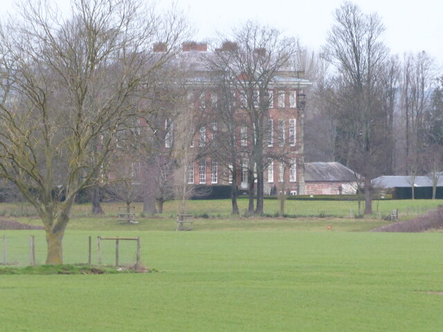
Cound Hall

Cound Hall, in Cound, Shropshire, England, is a Grade I listed building. It is a large vernacular Baroque house, with a basement and two storeys of tall...

Nearby Amenities

Located within 500m of 52.623504,-2.6555956
Coundmoor
Place: village
Lat/Long: 52.6230629/-2.6597275
Give Way
Direction: forward
Lat/Long: 52.6231309/-2.6598047
Give Way
Direction: backward
Lat/Long: 52.6258679/-2.6613647
Turning Circle
Lat/Long: 52.6207428/-2.6506836
The data included in this document is from www.openstreetmap.org. The data is made available under ODbL.

Have you been to Little Mosterley?

Leave your review of Little Mosterley below (or comments, questions and feedback).