Norton
Settlement in Derbyshire
England
Norton
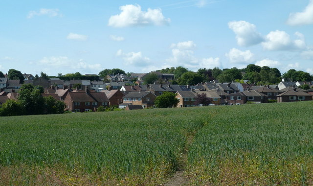
Norton is a small village located in the county of Derbyshire, England. Situated about 5 miles southeast of the city of Sheffield, it falls within the administrative district of North East Derbyshire. With a population of around 3,000 residents, Norton is a close-knit community known for its peaceful atmosphere and picturesque surroundings.
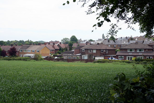
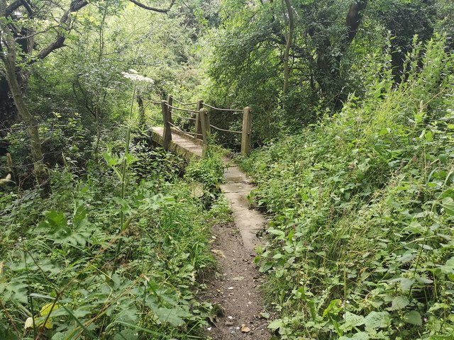
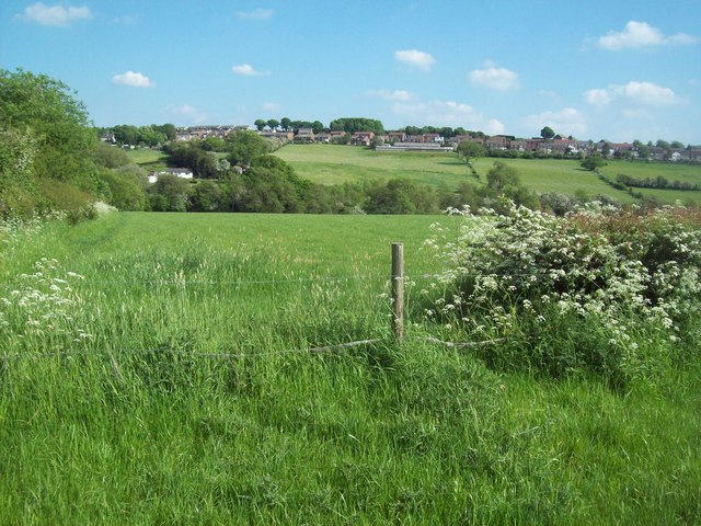
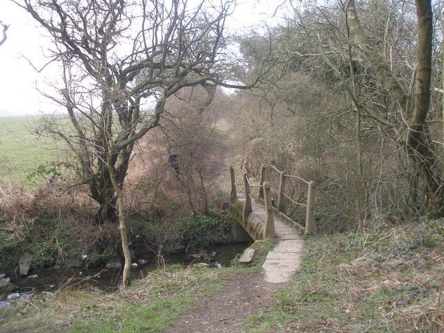
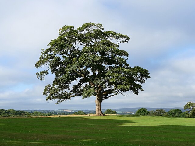
The village boasts a rich history, dating back to medieval times when it was first mentioned in historical records. Norton is known for its beautiful countryside and is surrounded by rolling hills and fields, making it a popular destination for nature enthusiasts and hikers. The nearby Moss Valley is a designated conservation area and provides a wealth of walking and cycling routes.
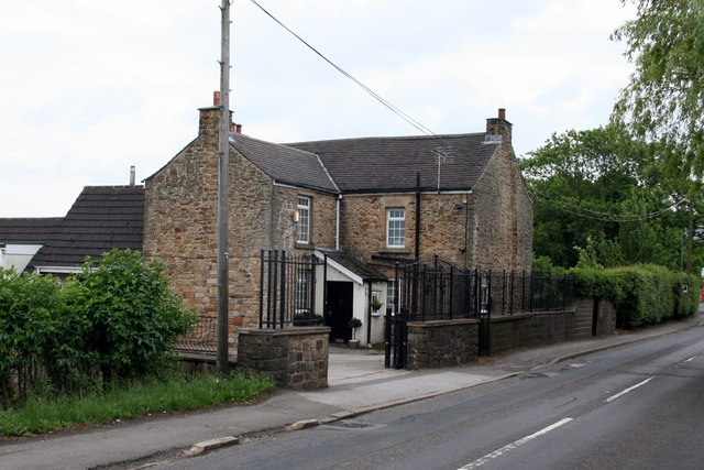
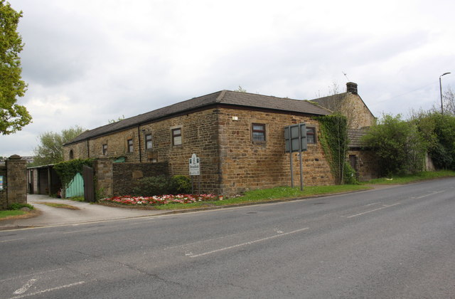
Norton is home to several historic buildings and landmarks, including the Grade II listed St. James' Church, which dates back to the 12th century. The village also features a number of traditional stone-built houses, giving it a charming and timeless character.
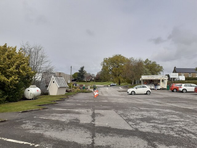
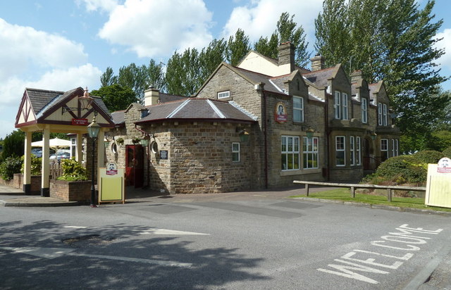
Despite its small size, Norton offers a range of amenities to its residents. There is a primary school, a village hall, and a community center, which host various events and activities throughout the year. The village also has a few local shops, pubs, and restaurants, providing essential services and socializing opportunities for its residents.
Overall, Norton, Derbyshire offers a tranquil and idyllic setting for those seeking a peaceful countryside lifestyle, while still being in close proximity to the amenities and cultural attractions of nearby cities.
If you have any feedback on the listing, please let us know in the comments section below.
Norton Images
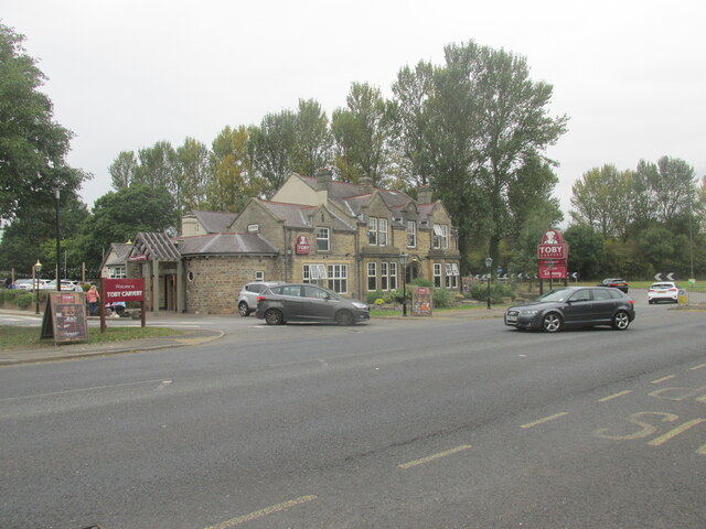
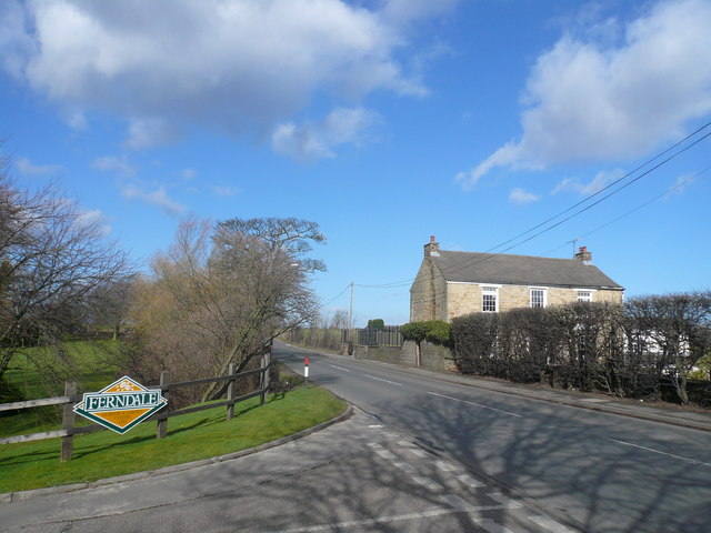
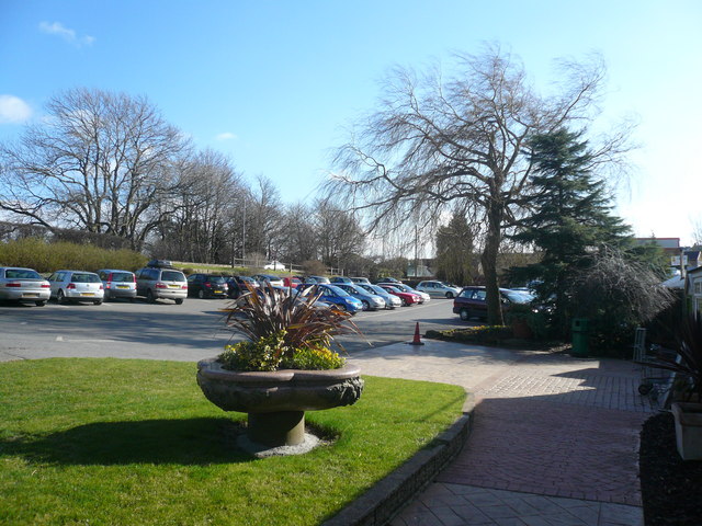
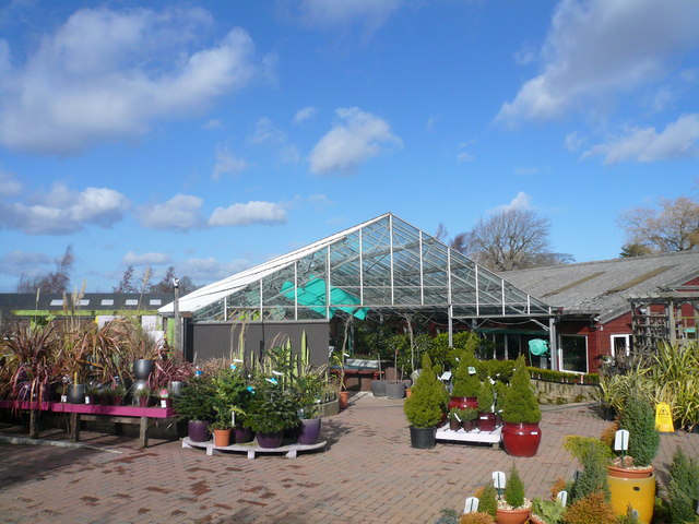
Images are sourced within 2km of 53.331203/-1.4632728 or Grid Reference SK3581. Thanks to Geograph Open Source API. All images are credited.


Norton is located at Grid Ref: SK3581 (Lat: 53.331203, Lng: -1.4632728)
Unitary Authority: Sheffield
Police Authority: South Yorkshire
What 3 Words
///thing.stiff.busy. Near Dronfield, Derbyshire
Nearby Locations
Related Wikis
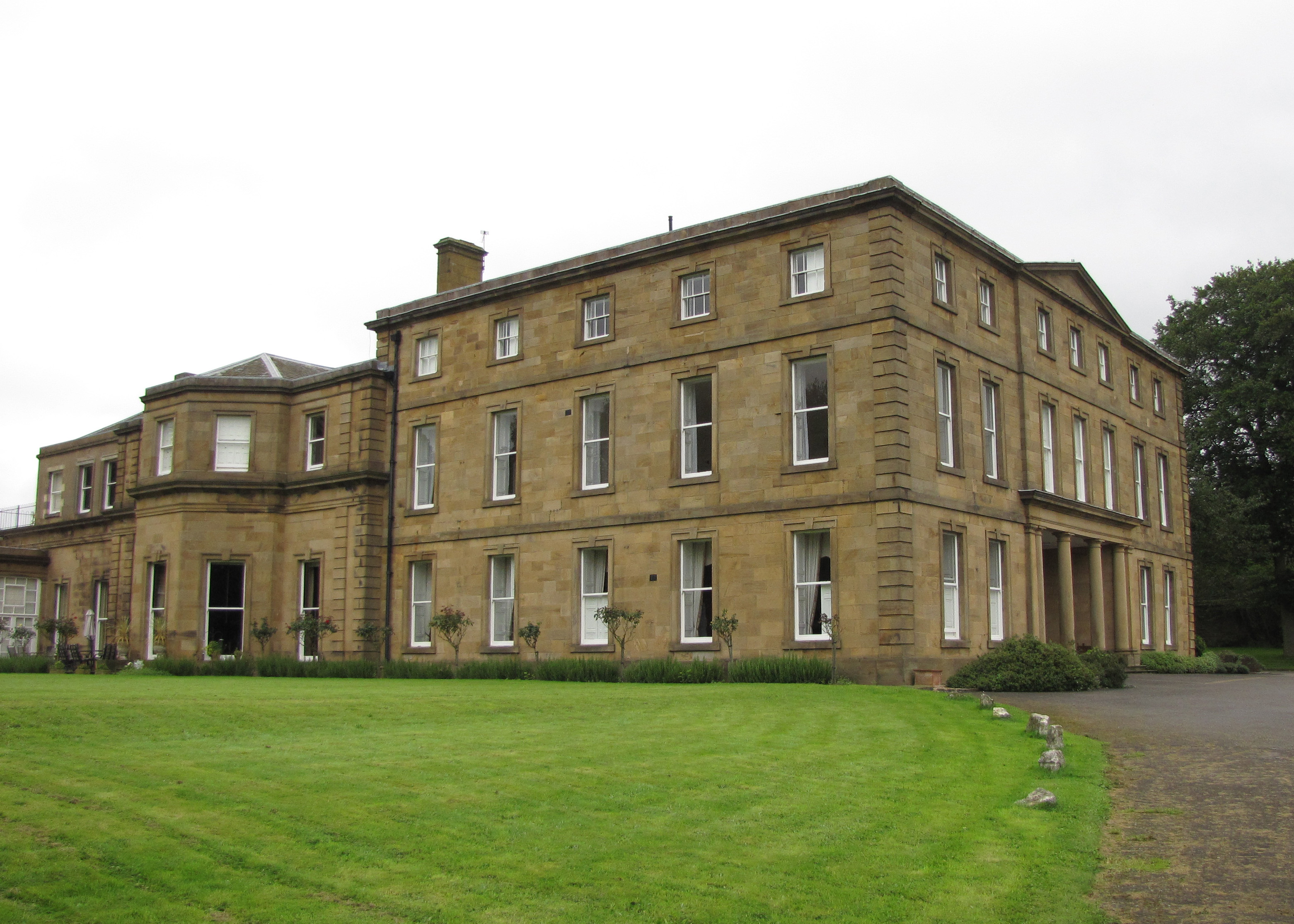
Norton Hall
Norton Hall is an English country house situated on Norton Church Road in the suburb of Norton in Sheffield, England. For most of its history it has been...

St James, Norton
St James, Norton is the Church of England parish church of the Norton district of Sheffield, South Yorkshire, England. == History == The Domesday Book...

Graves Park
Graves Park is a large parkland area in the South of Sheffield, between the districts of Norton, Woodseats and Meadowhead. The park was developed by Alderman...

A6102 road
The A6102 is a 4 digit A road in South Yorkshire, England. == Route == It begins in the Greenhill area of Sheffield, at a junction with the A61 (at the...
Nearby Amenities
Located within 500m of 53.331203,-1.4632728Have you been to Norton?
Leave your review of Norton below (or comments, questions and feedback).