Linstead Parva
Settlement in Suffolk East Suffolk
England
Linstead Parva
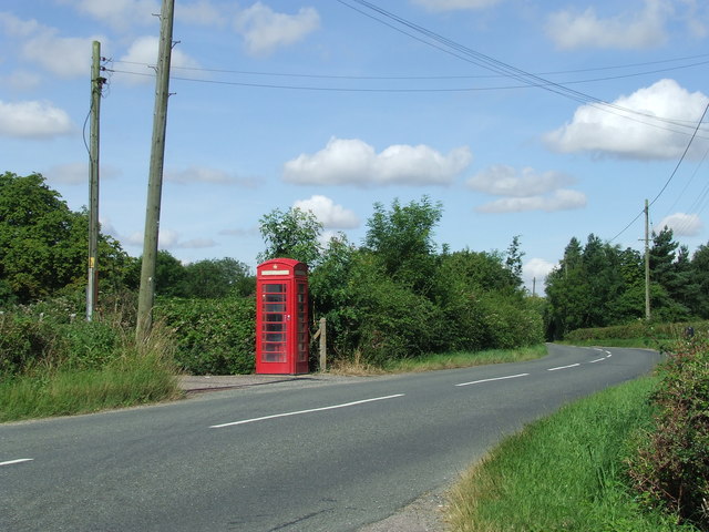
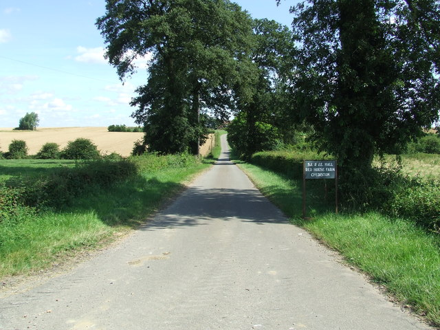
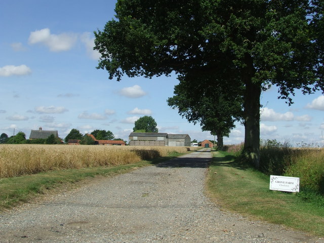
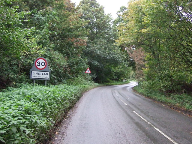
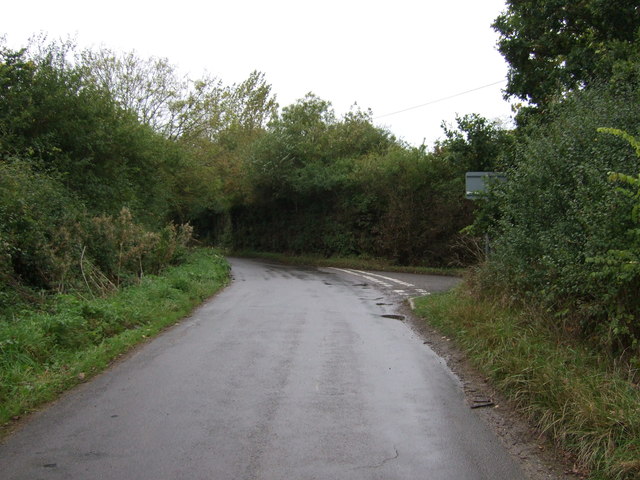
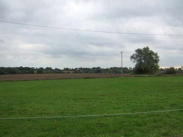
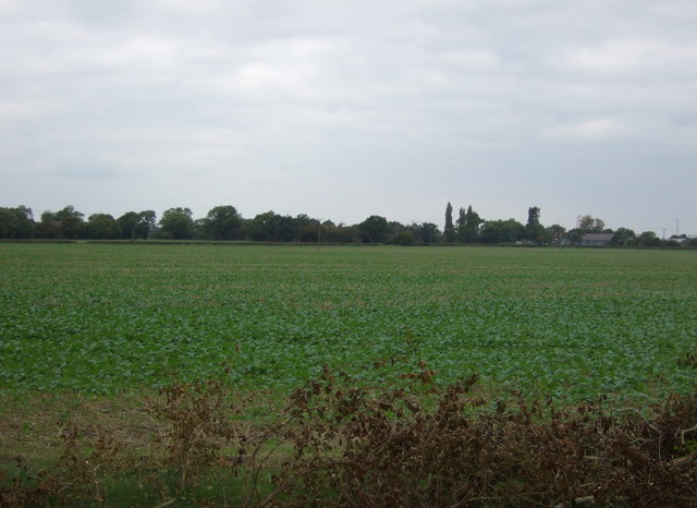
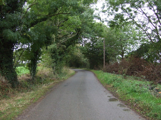
Linstead Parva is a small village located in the county of Suffolk, England. Situated approximately 11 miles southwest of the town of Beccles, it lies within the Waveney district. The village is nestled amidst the picturesque countryside, surrounded by fields, woodlands, and meandering streams.
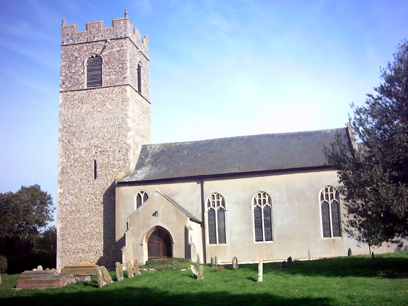
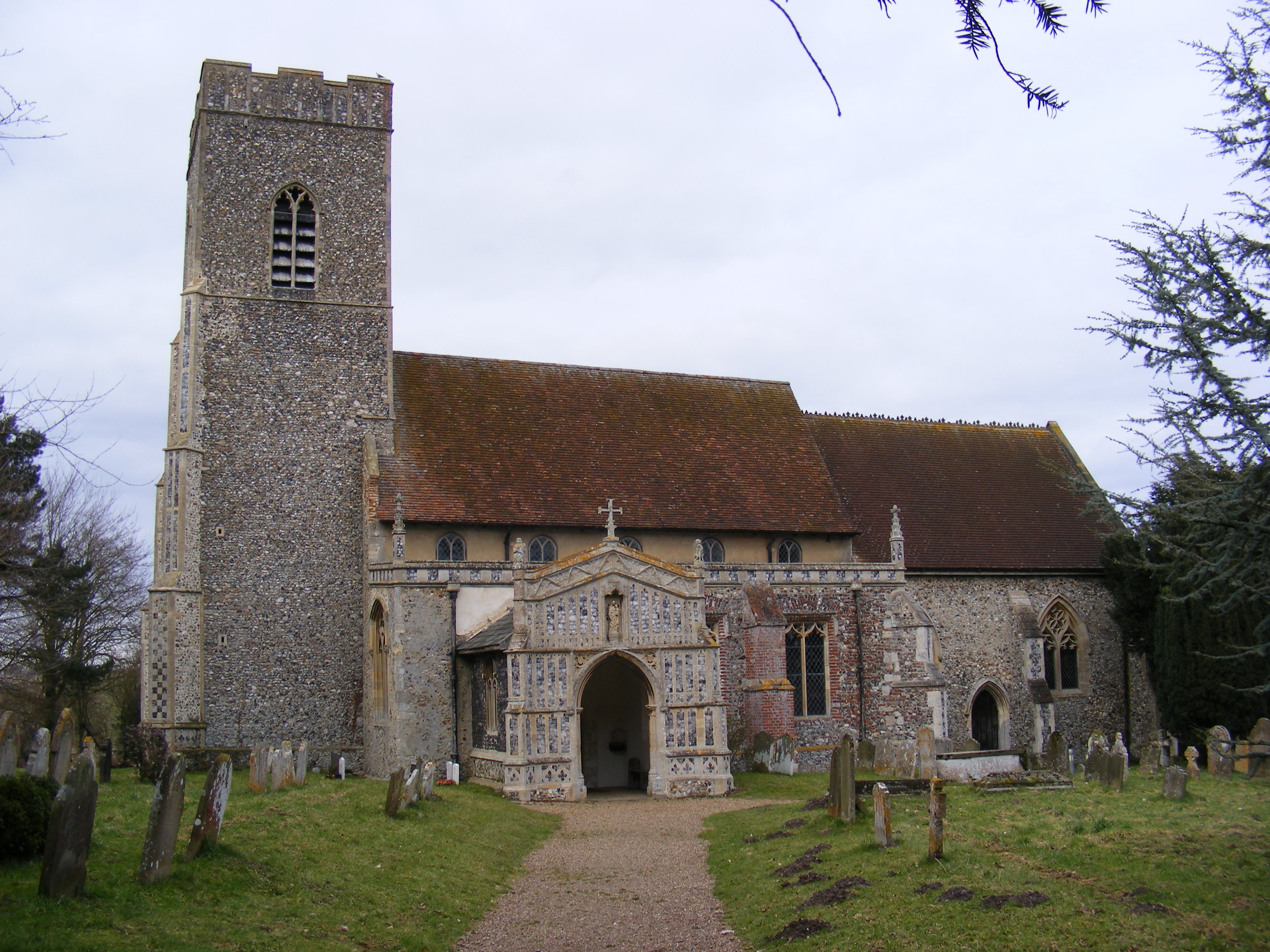
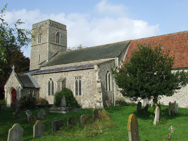
Linstead Parva is a quintessential English village, known for its charming rural character and traditional architecture. The village is home to a small population, creating a close-knit community atmosphere. The main focal point of Linstead Parva is the Grade II listed St. Margaret's Church, which dates back to the 12th century. The church is a fine example of Norman architecture and features intricate stained glass windows and a beautiful stone tower.
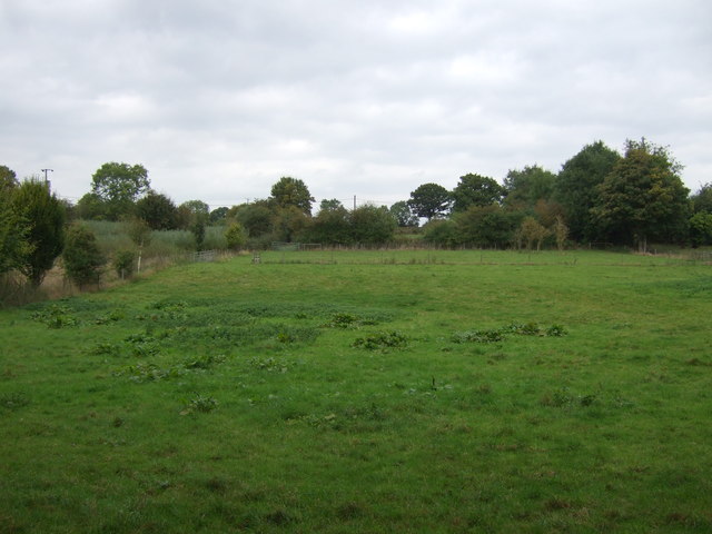
The surrounding landscape offers plenty of opportunities for outdoor activities and exploration. The nearby Waveney Valley provides stunning views and is a popular spot for walking, cycling, and birdwatching. The village is also within close proximity to the Suffolk Coast and Heaths Area of Outstanding Natural Beauty, which offers breathtaking coastal scenery and diverse wildlife.
Although Linstead Parva is primarily a residential area, the nearby town of Beccles provides amenities such as shops, restaurants, and schools. Additionally, the city of Norwich is easily accessible, being approximately 20 miles northwest of the village.
Linstead Parva's tranquil ambiance, picturesque surroundings, and historic charm make it an idyllic destination for those seeking a peaceful countryside retreat.
If you have any feedback on the listing, please let us know in the comments section below.
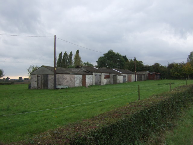
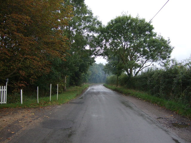
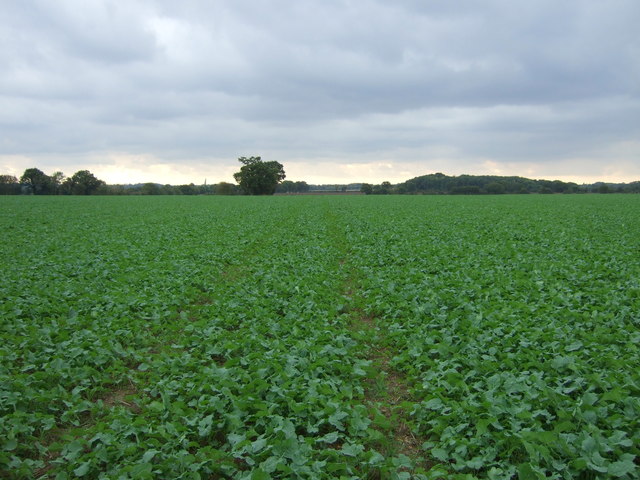
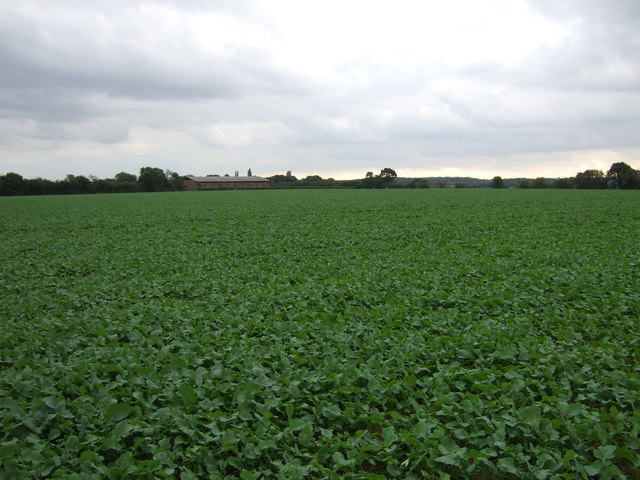
Linstead Parva Images
Images are sourced within 2km of 52.348676/1.4235662 or Grid Reference TM3377. Thanks to Geograph Open Source API. All images are credited.
Linstead Parva is located at Grid Ref: TM3377 (Lat: 52.348676, Lng: 1.4235662)
Administrative County: Suffolk
District: East Suffolk
Police Authority: Suffolk
What 3 Words
///unloading.caskets.common. Near Cookley, Suffolk
Nearby Locations
Related Wikis

Linstead Parva
Linstead Parva is a small village and civil parish in the East Suffolk district of Suffolk in eastern England. It has a small but notable 13th-century...
Linstead Magna
Linstead Magna is a civil parish in the East Suffolk district of Suffolk in eastern England. == Population and civil parish == In 2005 its population was...
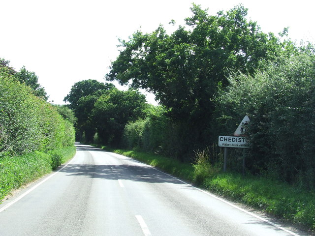
Chediston
Chediston is a village and a civil parish on the B1123 road, in the East Suffolk district, in the English county of Suffolk. It is located 2 miles west...

Cookley, Suffolk
Cookley is a small village and civil parish in the East Suffolk district, in the east of the county of Suffolk, England. Nearby settlements include the...

Cratfield
Cratfield is a village in northern Suffolk, England. "It has a population of 292 according to the 2011 census." Neighbouring villages include Laxfield...
Huntingfield, Suffolk
Huntingfield is a village near the B1117 road, in the East Suffolk district, in the county of Suffolk, England. The village is close to the source of the...
St James South Elmham
St James South Elmham is a village and civil parish in the north of the English county of Suffolk. It is 4.5 miles (7.2 km) north-west of the market town...

Metfield Meadow
Metfield Meadow is a 1.3-hectare (3.2-acre) biological Site of Special Scientific Interest west of Halesworth in Suffolk. It is owned and managed by Suffolk...
Nearby Amenities
Located within 500m of 52.348676,1.4235662Have you been to Linstead Parva?
Leave your review of Linstead Parva below (or comments, questions and feedback).