Linstead Green
Settlement in Suffolk East Suffolk
England
Linstead Green
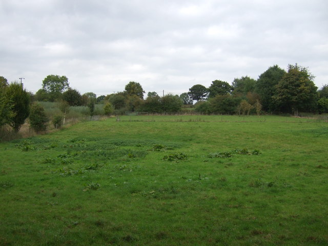
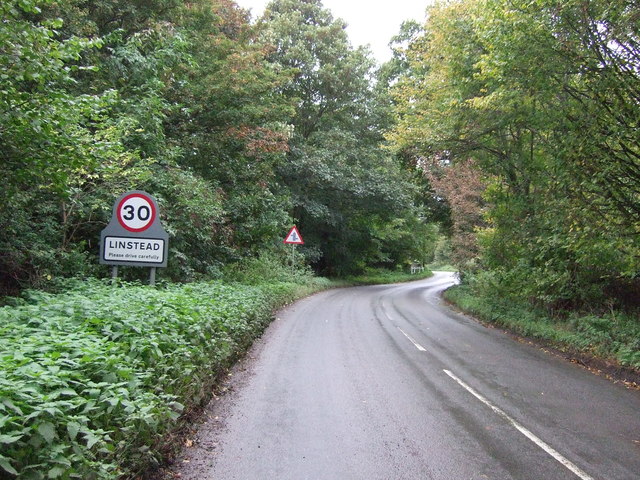
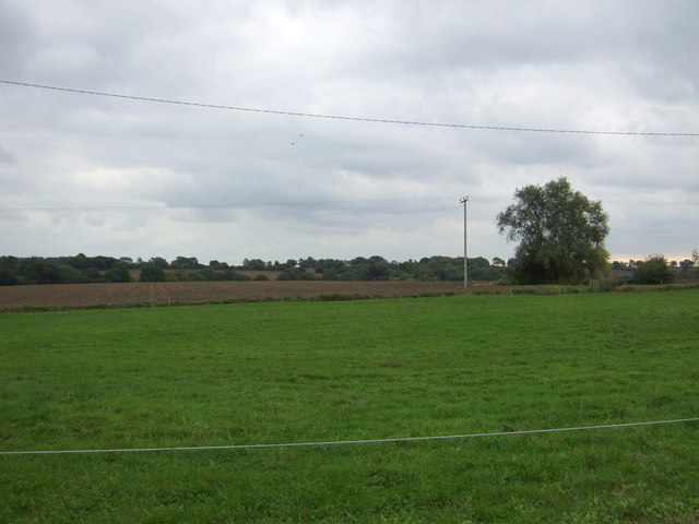
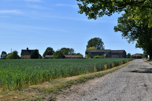
Linstead Green is a small village located in the county of Suffolk, in eastern England. Situated about 6 miles northwest of the town of Ipswich, Linstead Green is nestled within the beautiful countryside of the Suffolk Coastal District. The village is surrounded by picturesque farmlands and rolling hills, providing a tranquil and idyllic setting.
Linstead Green is home to a close-knit community of residents who take pride in their village and its heritage. The village boasts a charming array of traditional thatched cottages, giving it a quintessentially English feel. Many of these cottages date back several centuries, adding to the village's historical appeal.
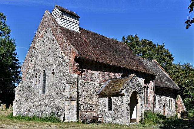
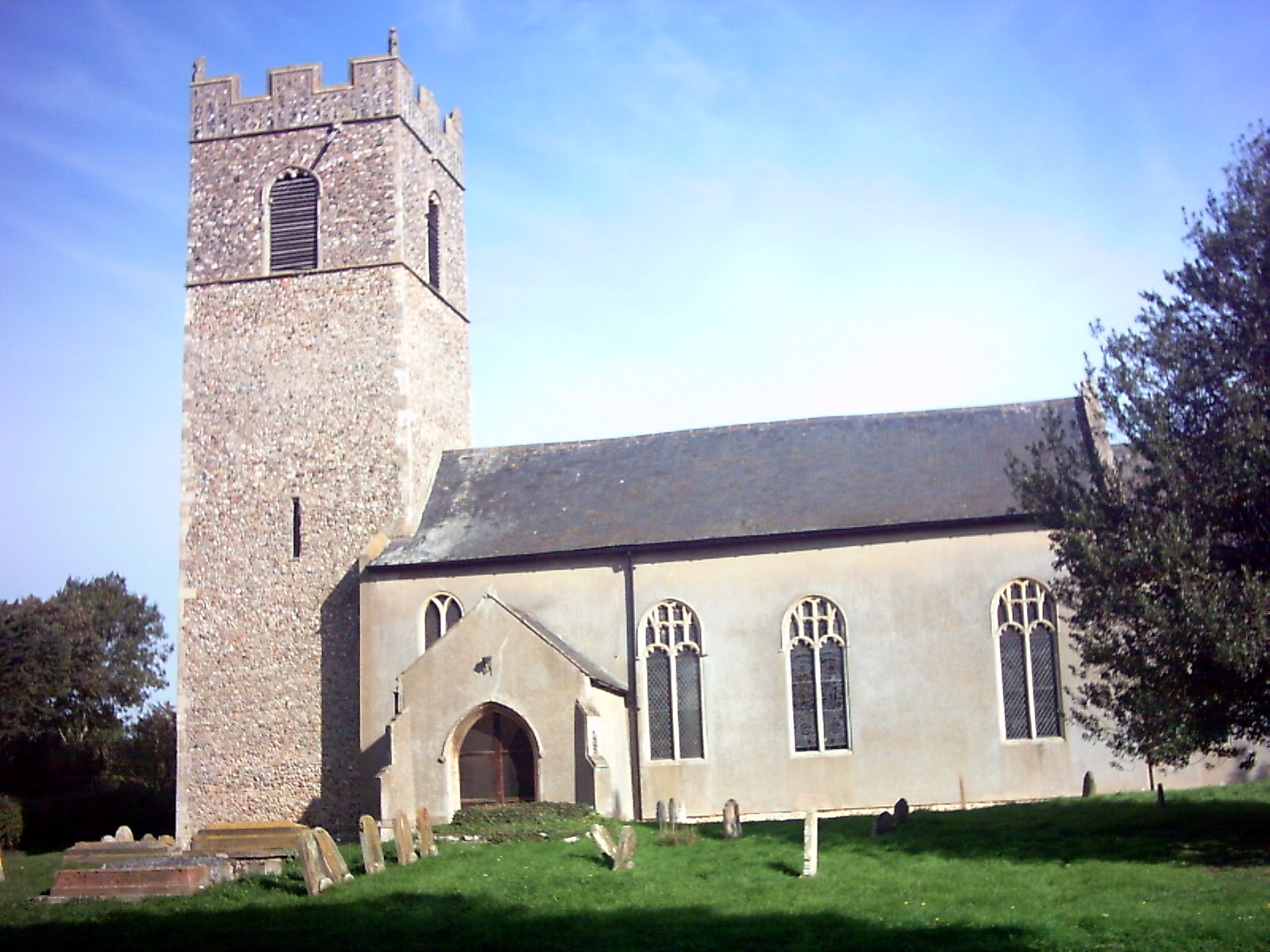
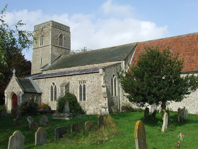
The heart of the village is the Linstead Green Church, a beautiful medieval building that has stood for centuries. This historic church, dedicated to St. Margaret, serves as a focal point for the community and hosts regular religious services and events.
Despite its small size, Linstead Green offers a range of amenities for its residents. These include a village hall, a local pub, and a primary school. The village hall is a popular venue for community gatherings, such as social events and meetings. The local pub offers a cozy atmosphere where villagers can gather for a drink or a meal.
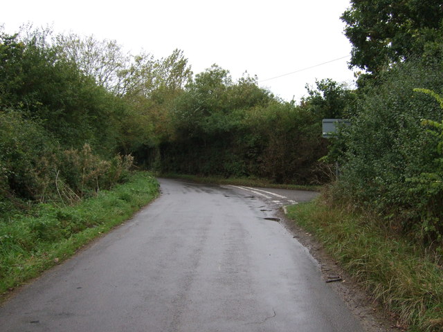
Linstead Green benefits from its proximity to the nearby town of Ipswich, which provides additional amenities and services. The village also enjoys excellent transport links, with easy access to major roads and rail connections, making it a convenient place to live for commuters.
Overall, Linstead Green is a charming rural village that combines natural beauty, historical architecture, and a strong sense of community. It offers a peaceful and picturesque lifestyle for its residents, making it an attractive place to live for those seeking a countryside retreat.
If you have any feedback on the listing, please let us know in the comments section below.
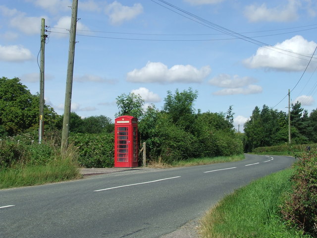
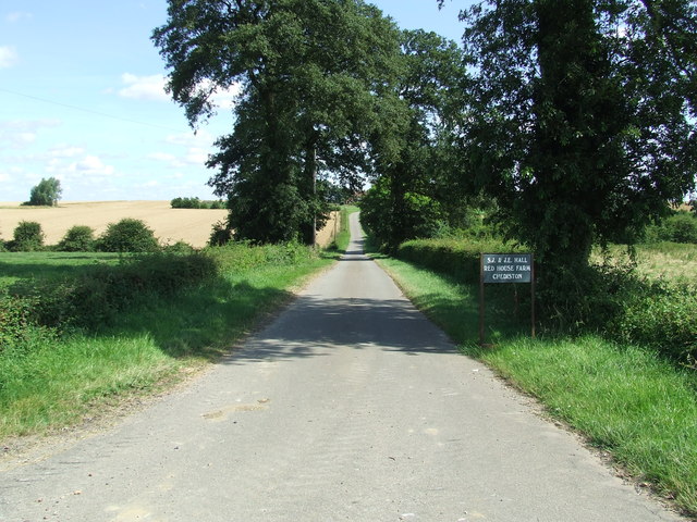
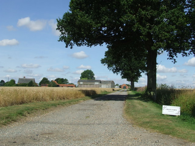
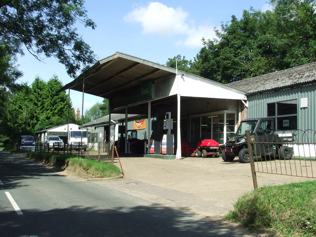
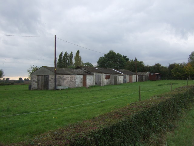
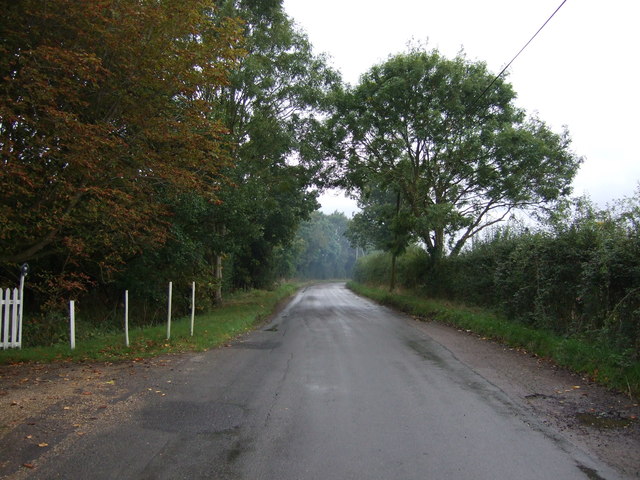
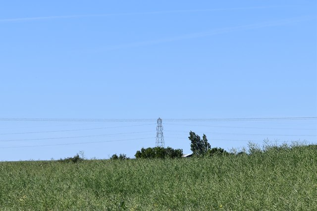
Linstead Green Images
Images are sourced within 2km of 52.35169/1.4185558 or Grid Reference TM3278. Thanks to Geograph Open Source API. All images are credited.
Linstead Green is located at Grid Ref: TM3278 (Lat: 52.35169, Lng: 1.4185558)
Administrative County: Suffolk
District: East Suffolk
Police Authority: Suffolk
What 3 Words
///manage.economics.stop. Near Cookley, Suffolk
Nearby Locations
Related Wikis

Linstead Parva
Linstead Parva is a small village and civil parish in the East Suffolk district of Suffolk in eastern England. It has a small but notable 13th-century...
Linstead Magna
Linstead Magna is a civil parish in the East Suffolk district of Suffolk in eastern England. == Population and civil parish == In 2005 its population was...
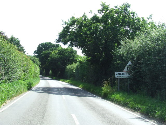
Chediston
Chediston is a village and a civil parish on the B1123 road, in the East Suffolk district, in the English county of Suffolk. It is located 2 miles west...
St James South Elmham
St James South Elmham is a village and civil parish in the north of the English county of Suffolk. It is 4.5 miles (7.2 km) north-west of the market town...
Nearby Amenities
Located within 500m of 52.35169,1.4185558Have you been to Linstead Green?
Leave your review of Linstead Green below (or comments, questions and feedback).