Collipy's Green
Settlement in Suffolk East Suffolk
England
Collipy's Green
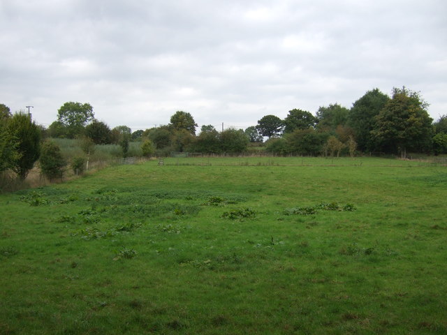
Collipy's Green is a picturesque village located in the county of Suffolk, England. Situated in the Babergh district, this quaint rural settlement is surrounded by lush green fields and rolling countryside, offering a peaceful and idyllic environment for its residents.
The village itself is small, with a population of around 400 people. It has a close-knit community that takes pride in maintaining the charm and character of the area. The architecture in Collipy's Green is predominantly traditional, featuring charming cottages and farmhouses that add to the village's rural appeal.
One of the standout features of Collipy's Green is its beautiful village green, which sits at the heart of the community. This open space serves as a focal point for various social activities and events throughout the year. Residents often gather here for picnics, sports, and community celebrations, fostering a strong sense of unity and belonging.
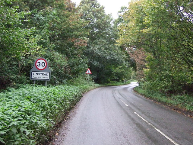
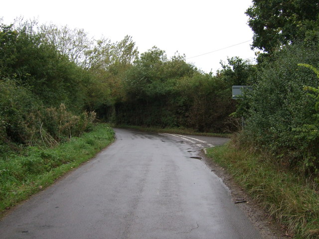
While Collipy's Green is primarily a residential area, it benefits from its close proximity to larger towns and cities. The village is well-connected to nearby amenities and services, making it an ideal location for those seeking a peaceful rural lifestyle without sacrificing convenience.
The surrounding countryside offers plenty of opportunities for outdoor activities, including hiking, cycling, and horse riding. The village is also located near several nature reserves and wildlife habitats, providing nature enthusiasts with ample opportunities to explore and observe the local flora and fauna.
In summary, Collipy's Green is a charming and peaceful village in Suffolk, known for its rural beauty, close-knit community, and access to nearby amenities. It offers a tranquil escape from the hustle and bustle of city life, making it an attractive place to live for those seeking a serene countryside setting.
If you have any feedback on the listing, please let us know in the comments section below.
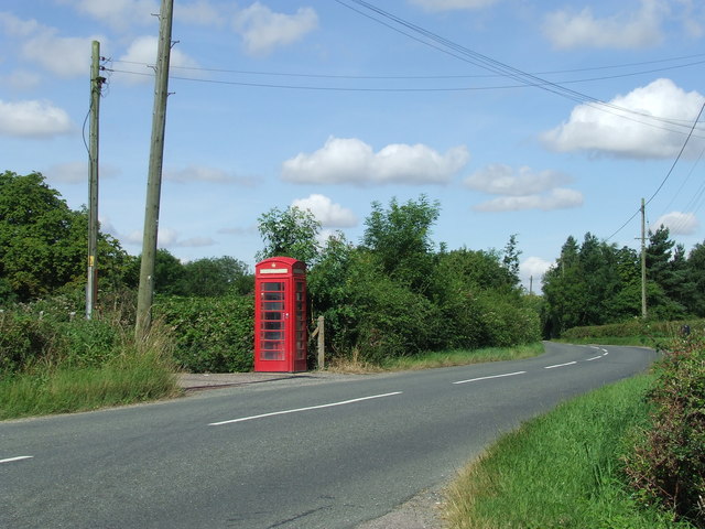
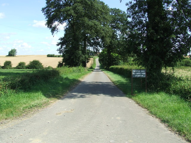
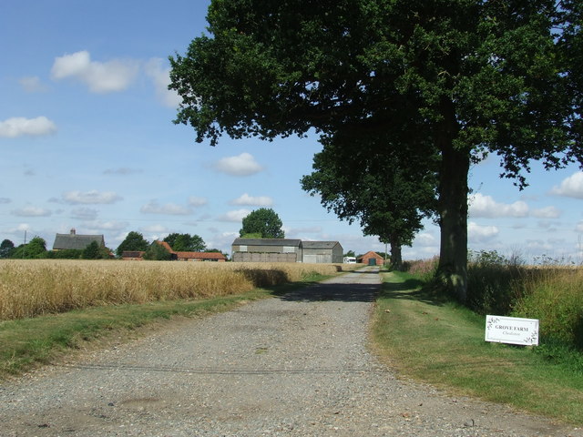
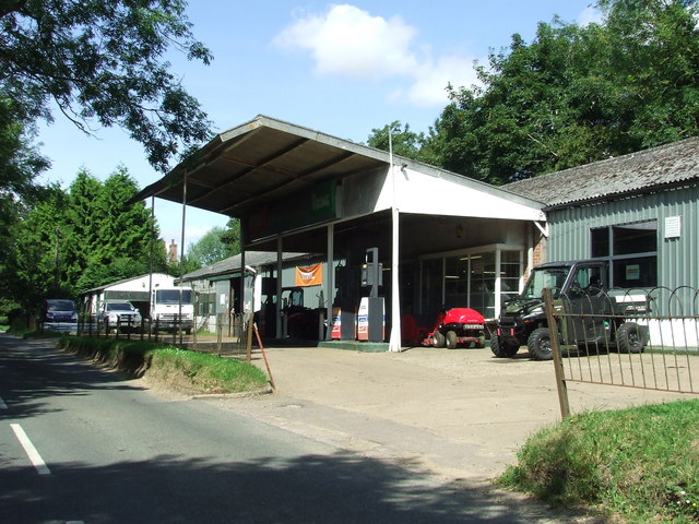
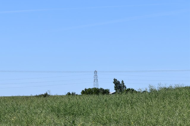
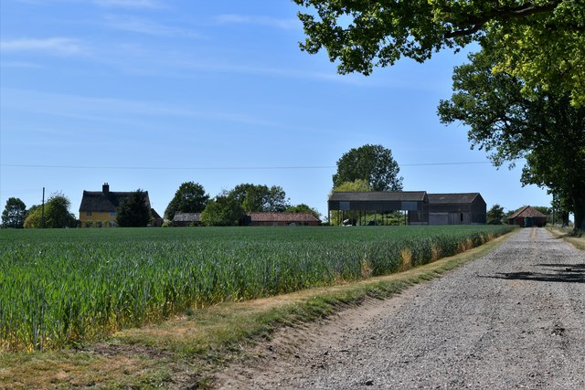
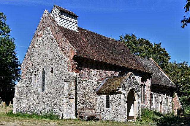
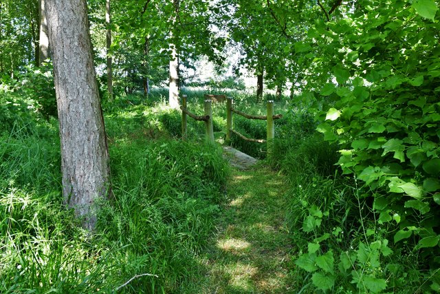
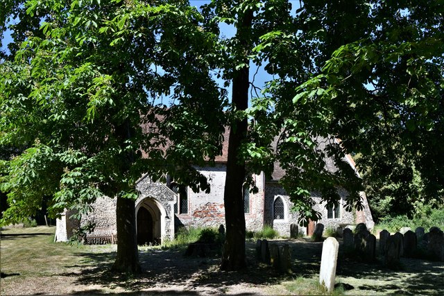
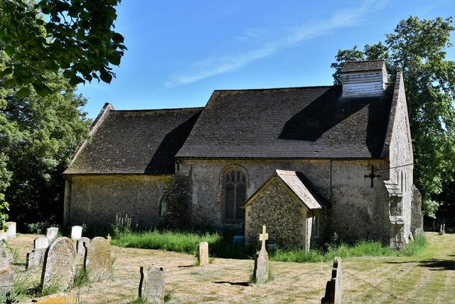
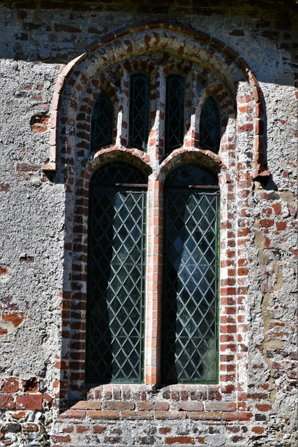
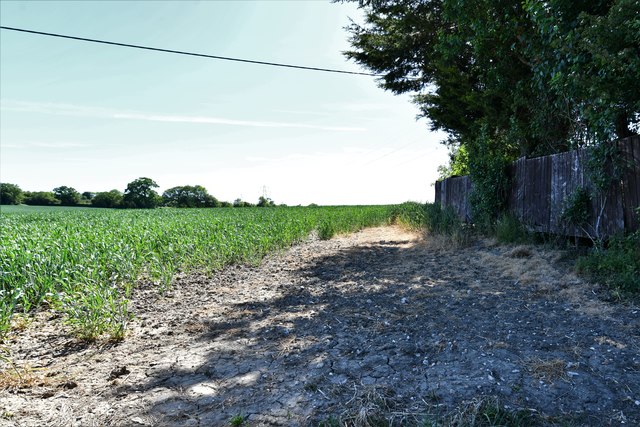
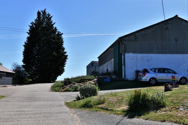
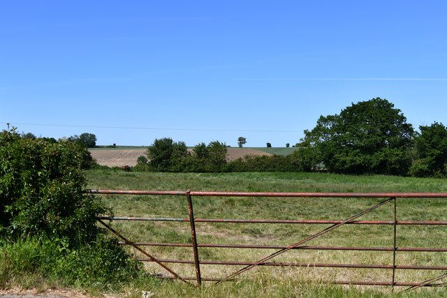
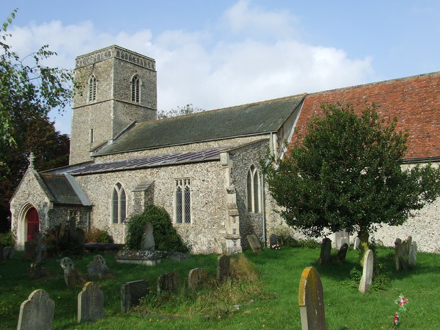
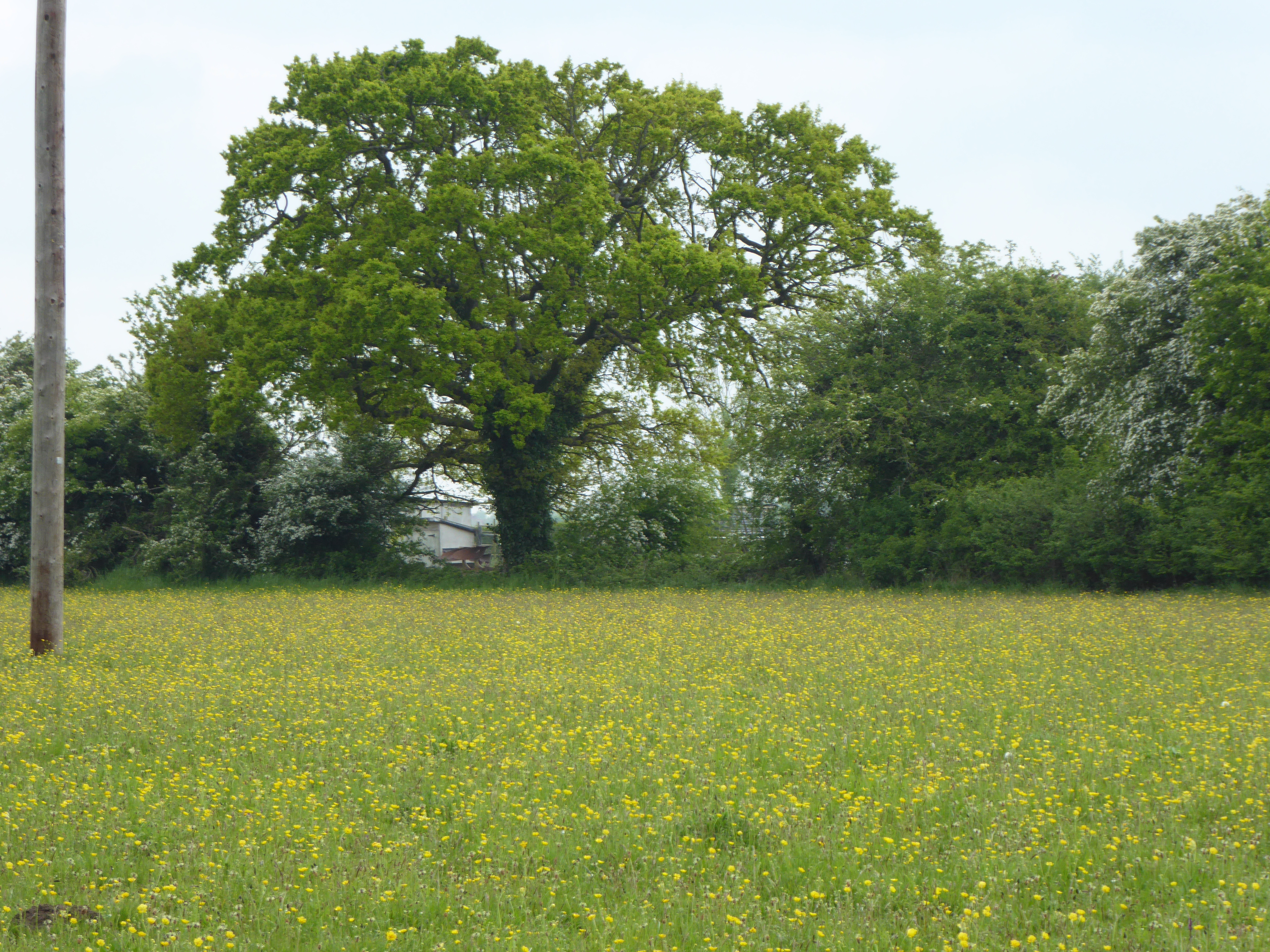
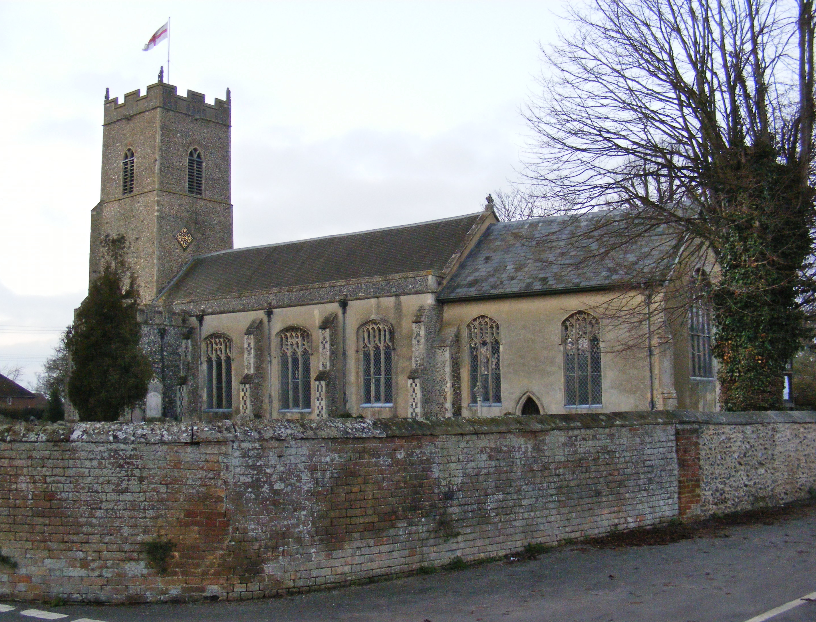
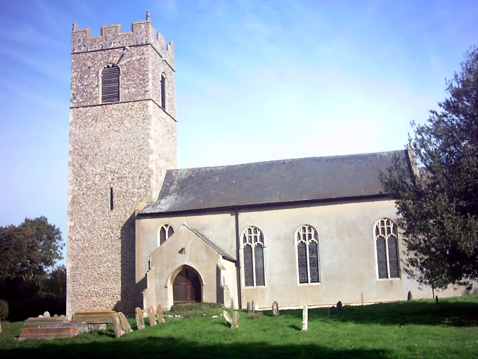
Collipy's Green Images
Images are sourced within 2km of 52.354626/1.4137882 or Grid Reference TM3278. Thanks to Geograph Open Source API. All images are credited.
Collipy's Green is located at Grid Ref: TM3278 (Lat: 52.354626, Lng: 1.4137882)
Administrative County: Suffolk
District: East Suffolk
Police Authority: Suffolk
What 3 Words
///countries.warblers.scored. Near Cookley, Suffolk
Nearby Locations
Related Wikis

Linstead Parva
Linstead Parva is a small village and civil parish in the East Suffolk district of Suffolk in eastern England. It has a small but notable 13th-century...
Linstead Magna
Linstead Magna is a civil parish in the East Suffolk district of Suffolk in eastern England. == Population and civil parish == In 2005 its population was...

Metfield Meadow
Metfield Meadow is a 1.3-hectare (3.2-acre) biological Site of Special Scientific Interest west of Halesworth in Suffolk. It is owned and managed by Suffolk...
St James South Elmham
St James South Elmham is a village and civil parish in the north of the English county of Suffolk. It is 4.5 miles (7.2 km) north-west of the market town...
Laurel Farm Meadow
Laurel Farm Meadow is a 1.6-hectare (4.0-acre) biological Site of Special Scientific Interest north-west of Halesworth in Suffolk.This mesotrophic grassland...
Metfield
Metfield is a village in Suffolk, England, but its name is derived from Medefeld or 'Meadow feld' (see Concise Oxford Dictionary of English Place Names...
Chediston
Chediston is a village and a civil parish on the B1123 road, in the East Suffolk district, in the English county of Suffolk. It is located 2 miles west...

Cratfield
Cratfield is a village in northern Suffolk, England. "It has a population of 292 according to the 2011 census." Neighbouring villages include Laxfield...
Nearby Amenities
Located within 500m of 52.354626,1.4137882Have you been to Collipy's Green?
Leave your review of Collipy's Green below (or comments, questions and feedback).