Blacksmith's Green
Downs, Moorland in Suffolk East Suffolk
England
Blacksmith's Green
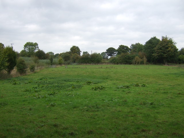
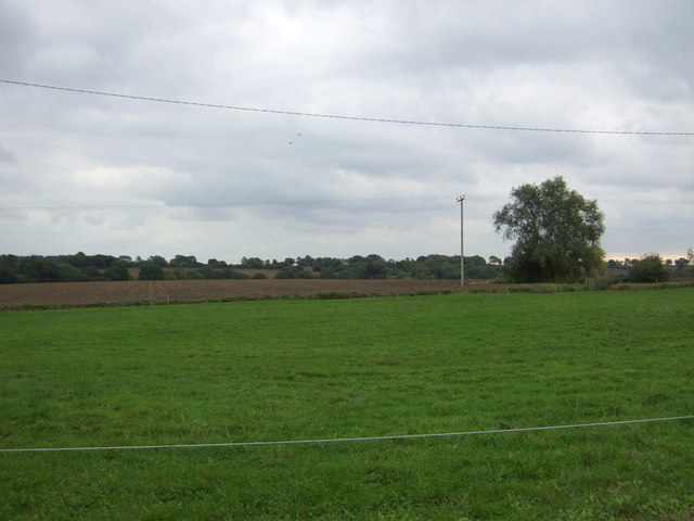
Blacksmith's Green is a picturesque area located in Suffolk, England. Nestled within the stunning natural beauty of the region, it is known for its diverse landscape consisting of downs, moorland, and lush greenery.
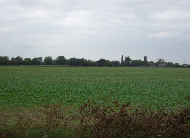
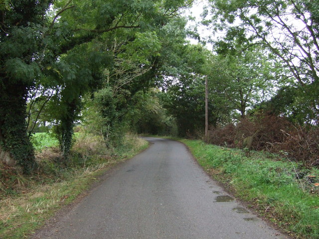
The downs of Blacksmith's Green offer breathtaking panoramic views of the surrounding countryside. These rolling hills are covered in vibrant wildflowers during the spring and summer months, creating a colorful tapestry. The area is a haven for hikers and nature enthusiasts, who can explore the numerous walking trails that wind through the downs, providing glimpses of wildlife and stunning vistas at every turn.
The moorland in Blacksmith's Green is a unique feature, characterized by its open expanses and heather-covered hills. This type of landscape is rare in the region, making it a significant natural attraction. The moorland is home to a variety of plant and animal species, including rare birds and insects that thrive in this distinct habitat.
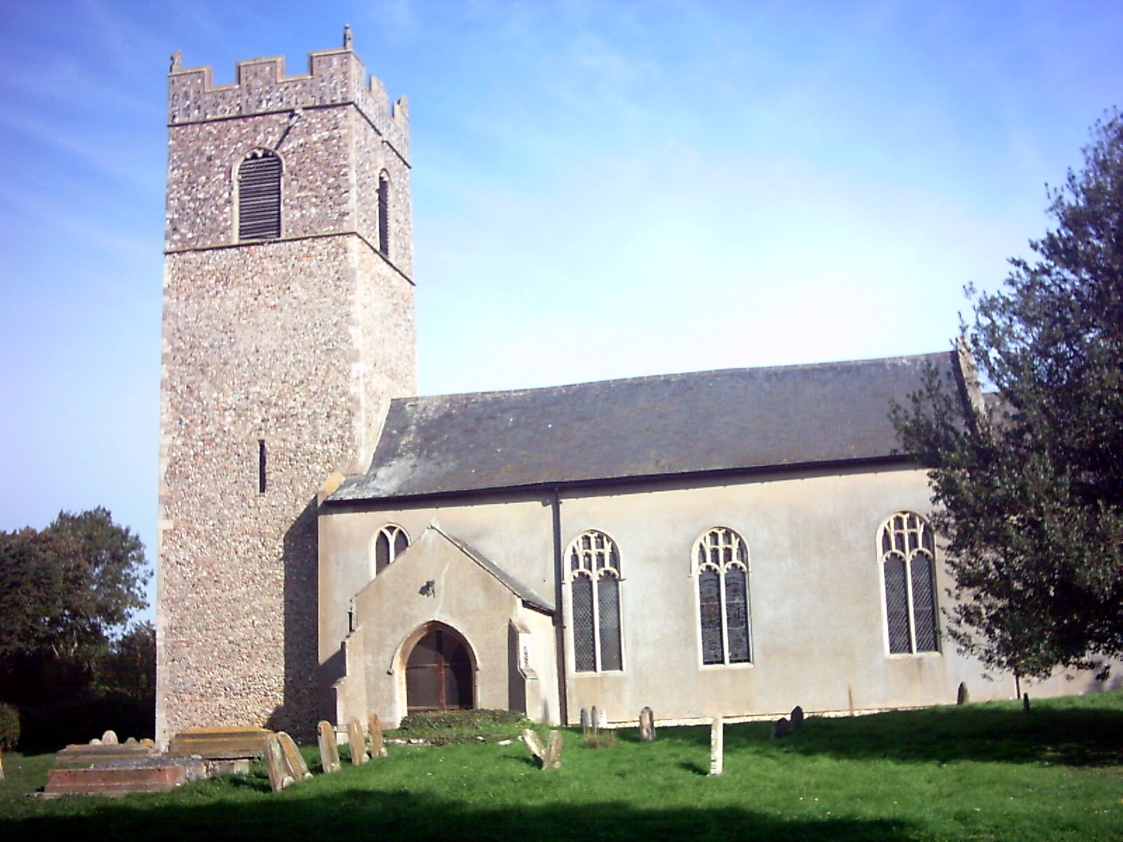
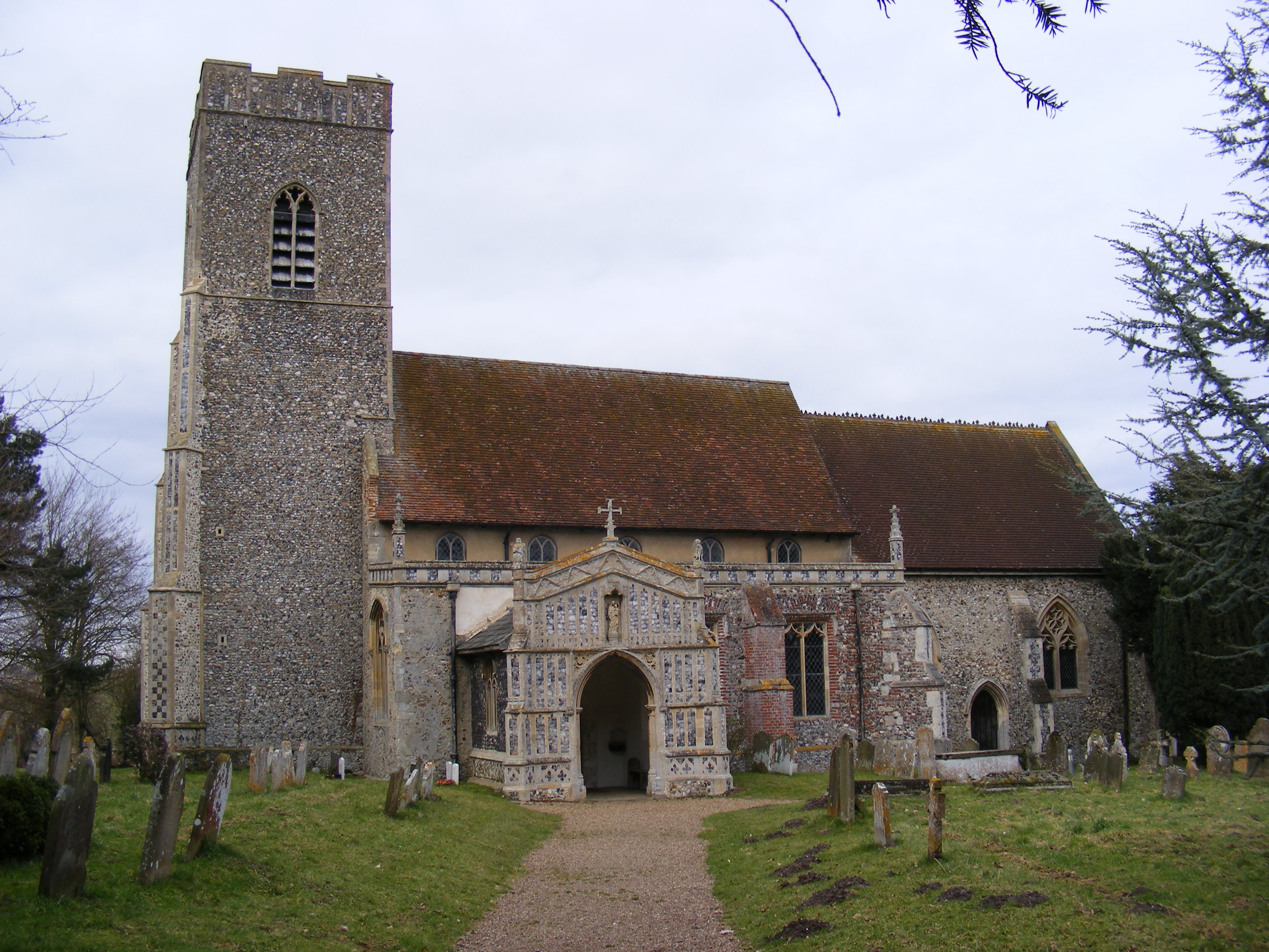
Blacksmith's Green is also known for its historical significance. The area has a rich heritage, with evidence of human settlement dating back centuries. There are several ancient burial mounds and historical landmarks that add to the charm and intrigue of the region.
Overall, Blacksmith's Green is a captivating destination that offers a blend of natural beauty and cultural heritage. Whether visitors are seeking outdoor adventures, scenic views, or a glimpse into the past, this Suffolk gem has something to offer for everyone.
If you have any feedback on the listing, please let us know in the comments section below.
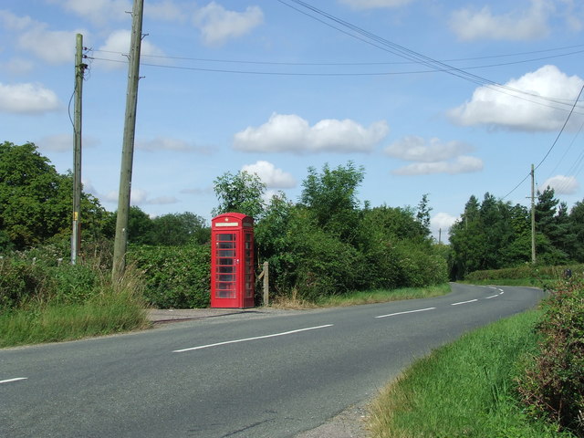
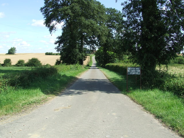
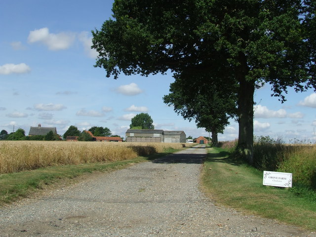
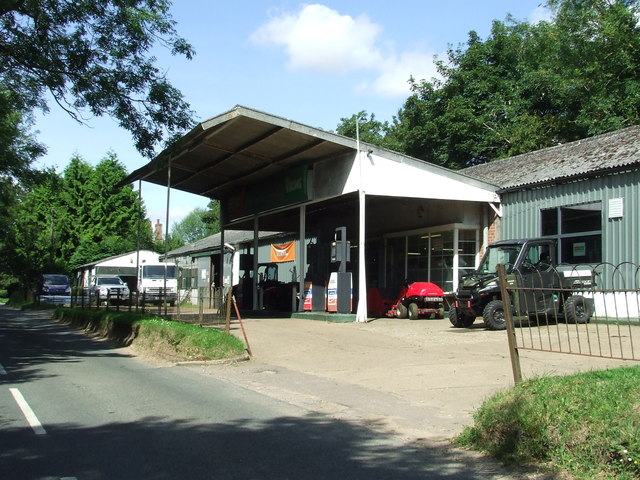
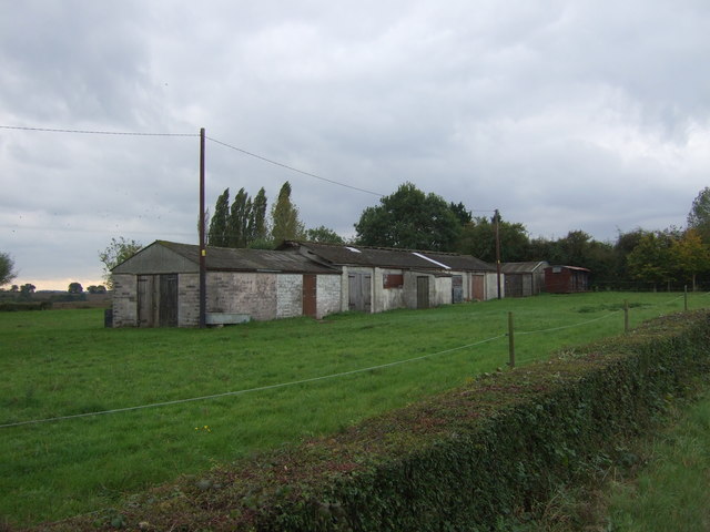
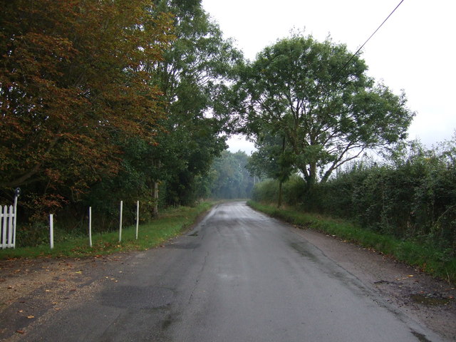
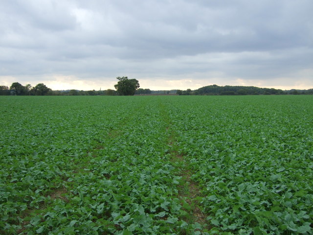
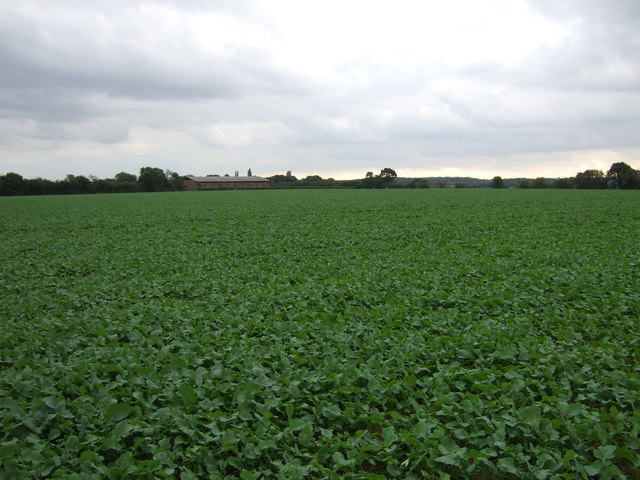
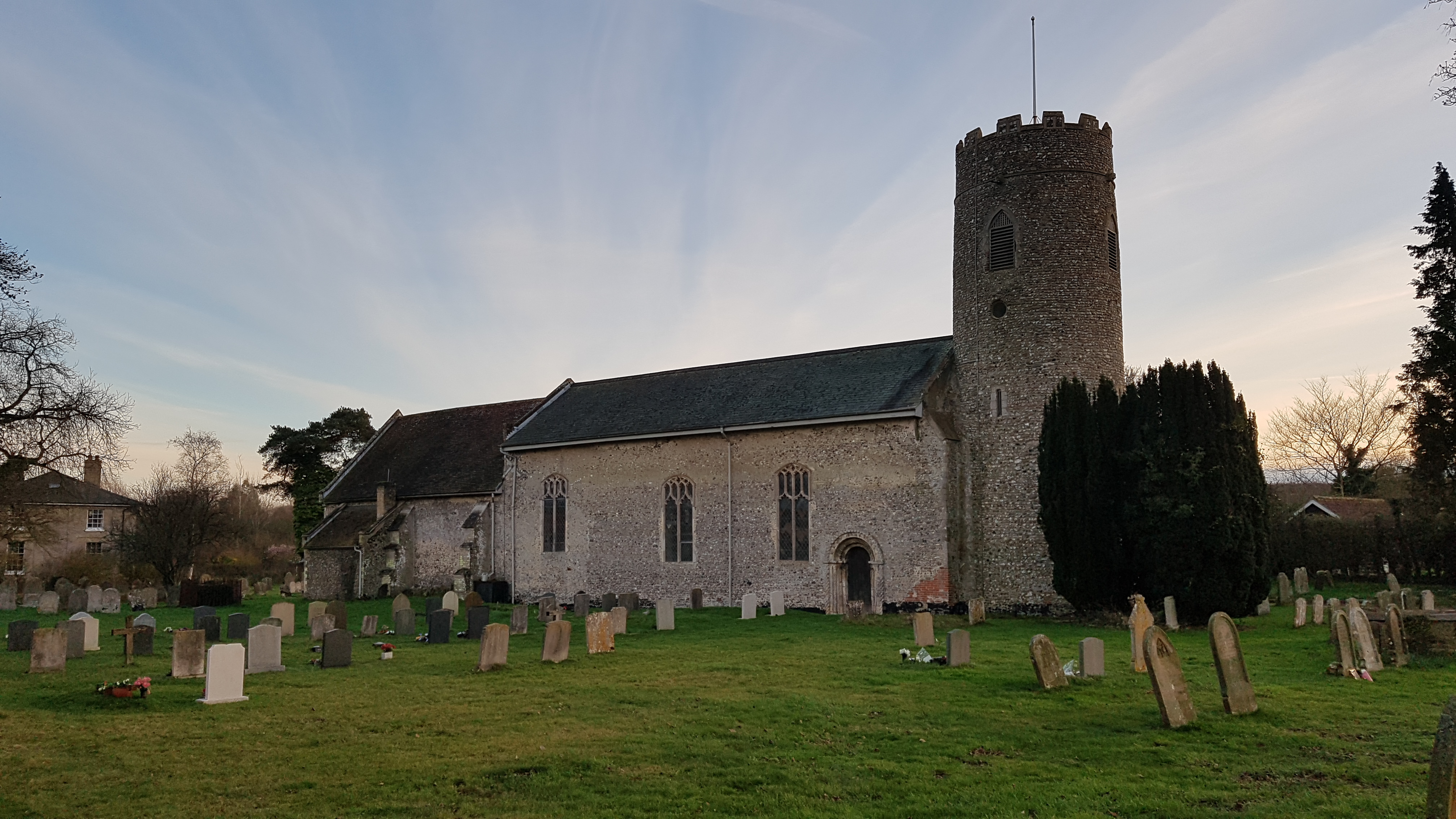
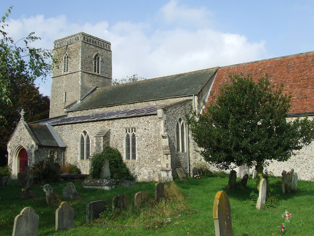
Blacksmith's Green Images
Images are sourced within 2km of 52.348044/1.4255001 or Grid Reference TM3377. Thanks to Geograph Open Source API. All images are credited.
Blacksmith's Green is located at Grid Ref: TM3377 (Lat: 52.348044, Lng: 1.4255001)
Administrative County: Suffolk
District: East Suffolk
Police Authority: Suffolk
What 3 Words
///firepower.icicles.slowly. Near Cookley, Suffolk
Nearby Locations
Related Wikis

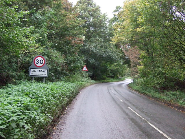
Linstead Parva
Linstead Parva is a small village and civil parish in the East Suffolk district of Suffolk in eastern England. It has a small but notable 13th-century...
Linstead Magna
Linstead Magna is a civil parish in the East Suffolk district of Suffolk in eastern England. == Population and civil parish == In 2005 its population was...
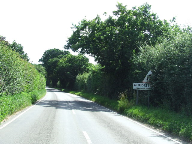
Chediston
Chediston is a village and a civil parish on the B1123 road, in the East Suffolk district, in the English county of Suffolk. It is located 2 miles west...

Cookley, Suffolk
Cookley is a small village and civil parish in the East Suffolk district, in the east of the county of Suffolk, England. Nearby settlements include the...

Cratfield
Cratfield is a village in northern Suffolk, England. "It has a population of 292 according to the 2011 census." Neighbouring villages include Laxfield...
Huntingfield, Suffolk
Huntingfield is a village near the B1117 road, in the East Suffolk district, in the county of Suffolk, England. The village is close to the source of the...
Wissett
Wissett is a village and civil parish in the English county of Suffolk. It is 2 miles (3.2 km) north-east of the market town of Halesworth in the East...
St James South Elmham
St James South Elmham is a village and civil parish in the north of the English county of Suffolk. It is 4.5 miles (7.2 km) north-west of the market town...
Nearby Amenities
Located within 500m of 52.348044,1.4255001Have you been to Blacksmith's Green?
Leave your review of Blacksmith's Green below (or comments, questions and feedback).