Sutton Downs

Downs, Moorland in Kent Dover

England

Sutton Downs

The Granary, Sutton Court Farm
The Granary, Sutton Court Farm Credit: N Chadwick

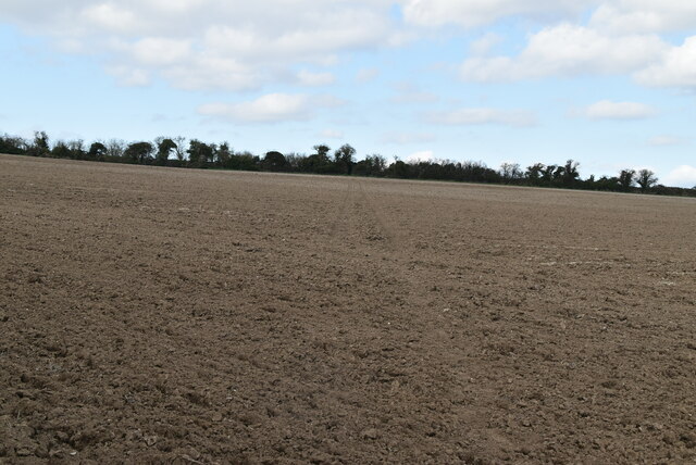
Sutton Downs, located in the county of Kent, England, is a picturesque area known for its scenic beauty and diverse wildlife. Covering an expansive area of moorland and downs, this region offers visitors a unique and immersive experience in nature.

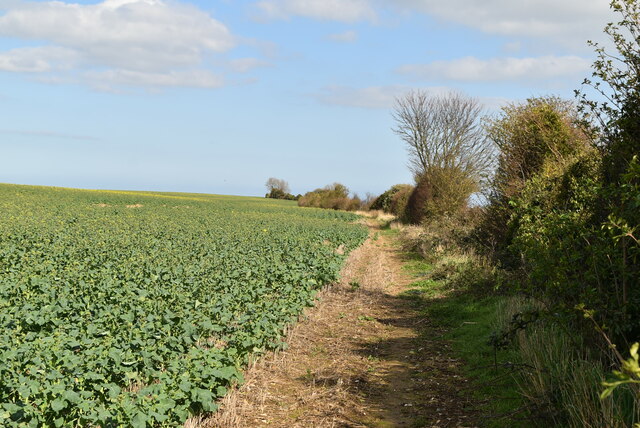
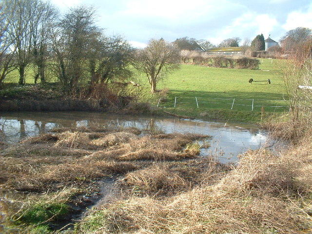
The downs of Sutton are characterized by their rolling hills and open grasslands, providing breathtaking views of the surrounding countryside. The moorland, on the other hand, features a more rugged terrain, with heather and gorse creating a colorful landscape. This combination of downs and moorland creates a diverse habitat for a wide range of plant and animal species.

Nature enthusiasts will find an abundance of wildlife at Sutton Downs. The area is home to several bird species, such as skylarks, meadow pipits, and stonechats, making it a popular destination for birdwatching. Additionally, the downs are inhabited by various mammals, including rabbits, foxes, and deer, adding to the natural charm of the region.

Walking trails crisscross the downs, providing visitors with the opportunity to explore the area on foot and take in the stunning vistas. The trails are well-maintained and cater to different levels of difficulty, making them suitable for both casual strollers and seasoned hikers.

Sutton Downs also has historical significance, with remnants of ancient settlements and burial mounds scattered throughout the area. These archaeological sites offer a glimpse into the rich heritage of the region and attract history enthusiasts.

Overall, Sutton Downs in Kent is a captivating destination for those seeking a tranquil escape into nature. With its diverse landscapes, abundant wildlife, and historical sites, it offers a delightful experience for visitors of all ages.

If you have any feedback on the listing, please let us know in the comments section below.

Sutton Downs Images

Images are sourced within 2km of 51.185891/1.3386571 or Grid Reference TR3348. Thanks to Geograph Open Source API. All images are credited.

The Granary, Sutton Court Farm
The Cabin
The Cabin
The Boot Grade II listed.
The Boot
Grade II listed.
Church of St Peter & St Paul A C12 church.
Grade II* listed. <span class="nowrap"><a title="https://historicengland.org.uk/listing/the-list/list-entry/1247673" rel="nofollow ugc noopener" href="https://historicengland.org.uk/listing/the-list/list-entry/1247673">Link</a><img style="margin-left:2px;" alt="External link" title="External link - shift click to open in new window" src="https://s1.geograph.org.uk/img/external.png" width="10" height="10"/></span>
Church of St Peter & St Paul
A C12 church. Grade II* listed. LinkExternal link
Church Hill
Church Hill
Church Hill
Church Hill
Church Hill
Church Hill
Field near Sutton
Field near Sutton
Bare soils
Bare soils
White Cliffs Country Trail The White Cliffs Trails were created in 1987 by Dover District Council to link the towns of Dover, Deal and Sandwich, going along the famous 'white cliffs' to the east of Dover to Deal with an inland return through the beautiful Kent countryside. A link from Deal to Northbourne via Sholden and a loop from Sandwich to Northbourne via Eastry provide a range of options.
The routes are marked on OS mapping but have no apparent current publications.
White Cliffs Country Trail
The White Cliffs Trails were created in 1987 by Dover District Council to link the towns of Dover, Deal and Sandwich, going along the famous 'white cliffs' to the east of Dover to Deal with an inland return through the beautiful Kent countryside. A link from Deal to Northbourne via Sholden and a loop from Sandwich to Northbourne via Eastry provide a range of options. The routes are marked on OS mapping but have no apparent current publications.
Ploughed field
Ploughed field
Farmland near Sutton
White Cliffs Country Trail The White Cliffs Trails were created in 1987 by Dover District Council to link the towns of Dover, Deal and Sandwich, going along the famous 'white cliffs' to the east of Dover to Deal with an inland return through the beautiful Kent countryside. A link from Deal to Northbourne via Sholden and a loop from Sandwich to Northbourne via Eastry provide a range of options.
The routes are marked on OS mapping but have no apparent current publications.
White Cliffs Country Trail
The White Cliffs Trails were created in 1987 by Dover District Council to link the towns of Dover, Deal and Sandwich, going along the famous 'white cliffs' to the east of Dover to Deal with an inland return through the beautiful Kent countryside. A link from Deal to Northbourne via Sholden and a loop from Sandwich to Northbourne via Eastry provide a range of options. The routes are marked on OS mapping but have no apparent current publications.
Footpath along field boundary
Sutton Vale Country Club
Cranswick Cottages
Cranswick Cottages
Show me another place!

Sutton Downs is located at Grid Ref: TR3348 (Lat: 51.185891, Lng: 1.3386571)

Administrative County: Kent

District: Dover

Police Authority: Kent

What 3 Words

///twinkling.mankind.buffoon. Near Eythorne, Kent

Nearby Locations

Sutton Downs

Related Wikis

Martin, Kent

Martin is a hamlet north-east of Dover in the county of Kent in England. The nearby village of Martin Mill is situated on the railway between Dover and...
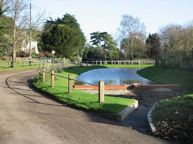
Sutton, Kent

Sutton is a village and civil parish near Dover in Kent, England. In 1935 this village became a parish when the small settlements of Studdal, Sutton, Ashley...

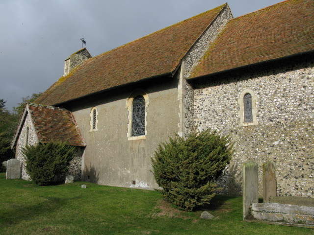
St Peter's and St Paul's Church, Sutton By Dover

All Saints is a parish church in Sutton, Kent. It was begun in the 12th century and is a Grade II listed building.The south porch and vestry was added...

Langdon, Kent

Langdon is a civil parish in the Dover district of Kent, England, and contains the villages of East Langdon and West Langdon, and the hamlets of Martin...

West Langdon

West Langdon is a village and former civil parish, now in the parish of Langdon, in the Dover district of Kent, England. It is located five miles north...
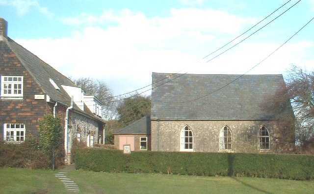
Langdon Abbey

Langdon Abbey (grid reference TR329468) was a Premonstratensian abbey near West Langdon, Kent, founded in about 1192 and dissolved in 1535, reportedly...

Ripple, Kent

Ripple, also known as 'Ripple Vale', is a village and civil parish in the Dover District of Kent, England. Ripple parish church is dedicated to St Mary...

Martin Mill railway station

Martin Mill railway station serves the small village of Martin Mill in East Kent. The station and all trains serving it are operated by Southeastern. The...

Nearby Amenities

Located within 500m of 51.185891,1.3386571
Power: pole
Lat/Long: 51.1900608/1.3381129
Power: pole
Lat/Long: 51.1837046/1.3369452
Power: pole
Lat/Long: 51.182328/1.3365303
Power: pole
Lat/Long: 51.1877867/1.3379486
Power: pole
Lat/Long: 51.1878934/1.338196
Power: pole
Lat/Long: 51.1822052/1.3362787
Power: pole
Lat/Long: 51.1887406/1.3384534
Power: pole
Lat/Long: 51.1868366/1.3376599
Power: pole
Lat/Long: 51.1861576/1.3374589
Power: pole
Lat/Long: 51.1870441/1.337952
Power: pole
Lat/Long: 51.1897859/1.3379553
Power: pole
Lat/Long: 51.1848735/1.3370732
Power: pole
Lat/Long: 51.1860559/1.3376568
Power: pole
Lat/Long: 51.1887375/1.3382306
Power: pole
Lat/Long: 51.1835141/1.336669
Power: pole
Lat/Long: 51.1849303/1.3373174
The data included in this document is from www.openstreetmap.org. The data is made available under ODbL.

Have you been to Sutton Downs?

Leave your review of Sutton Downs below (or comments, questions and feedback).