Morrellhaugh Green
Downs, Moorland in Suffolk East Suffolk
England
Morrellhaugh Green
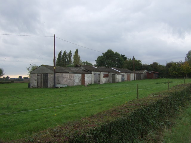
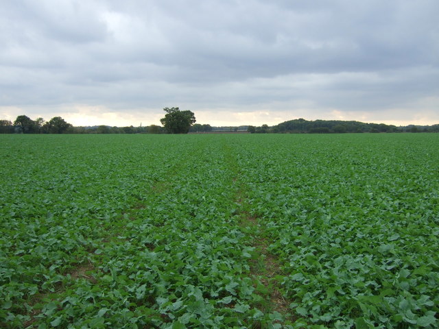
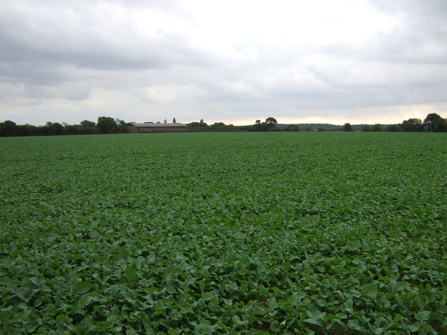
Morrellhaugh Green is a picturesque village located in the county of Suffolk, England. Nestled amidst the serene countryside, the village is known for its breathtaking natural beauty, characterized by rolling downs and vast expanses of moorland.
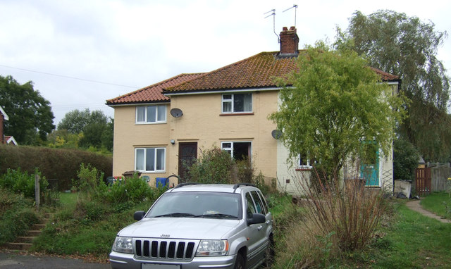
The village is home to a tight-knit community of residents who enjoy a peaceful and idyllic lifestyle. The quaint cottages and traditional houses add to the charm of Morrellhaugh Green, creating a welcoming atmosphere for both residents and visitors alike.
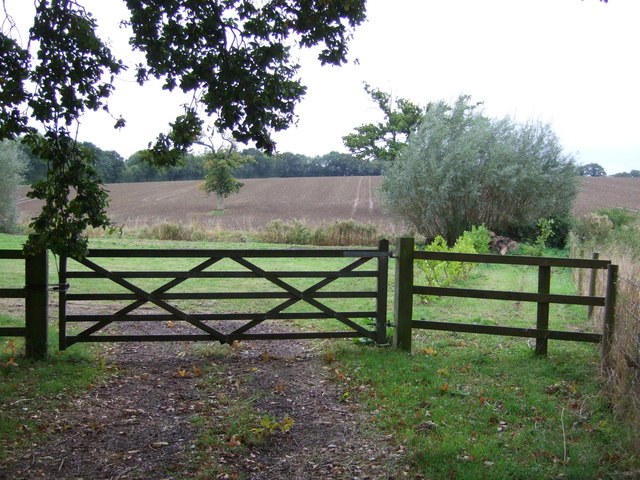
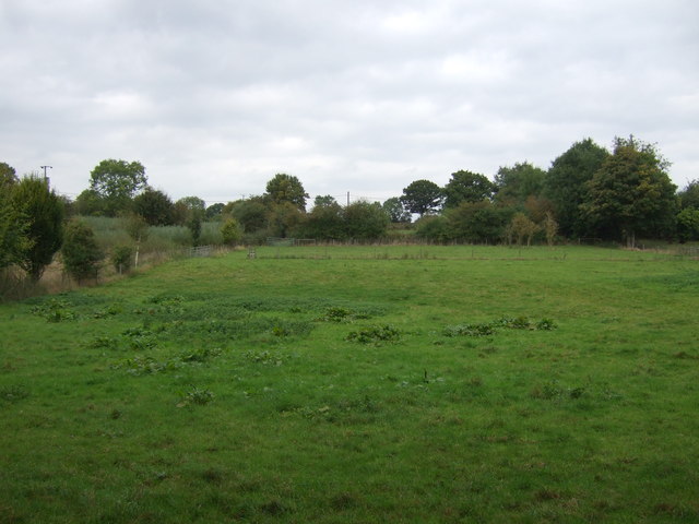
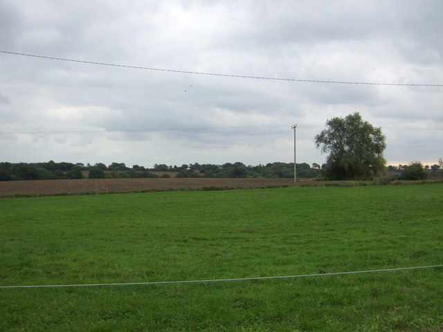
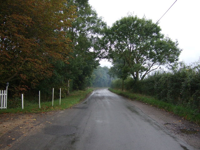
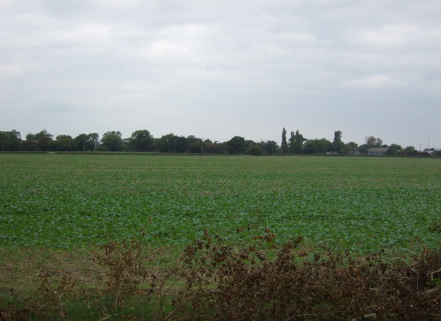
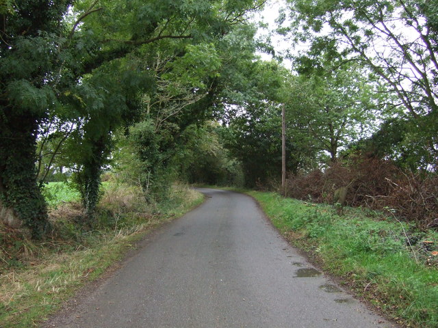
The surrounding downs and moorland offer ample opportunities for outdoor activities and recreation. Hikers and nature enthusiasts can explore the numerous walking trails that wind through the countryside, providing stunning views of the landscape. The moorland, in particular, is known for its unique flora and fauna, making it a haven for wildlife enthusiasts and birdwatchers.
Despite its rural setting, Morrellhaugh Green is conveniently located near larger towns and cities. The nearby market town of Bury St Edmunds offers a range of amenities, including shops, restaurants, and entertainment options. The city of Ipswich is also within easy reach, providing further opportunities for shopping, dining, and cultural experiences.
Morrellhaugh Green is a place where residents can enjoy a slower pace of life, surrounded by the beauty of nature. Its tranquil setting and community spirit make it an ideal destination for those seeking an escape from the hustle and bustle of city living.
If you have any feedback on the listing, please let us know in the comments section below.
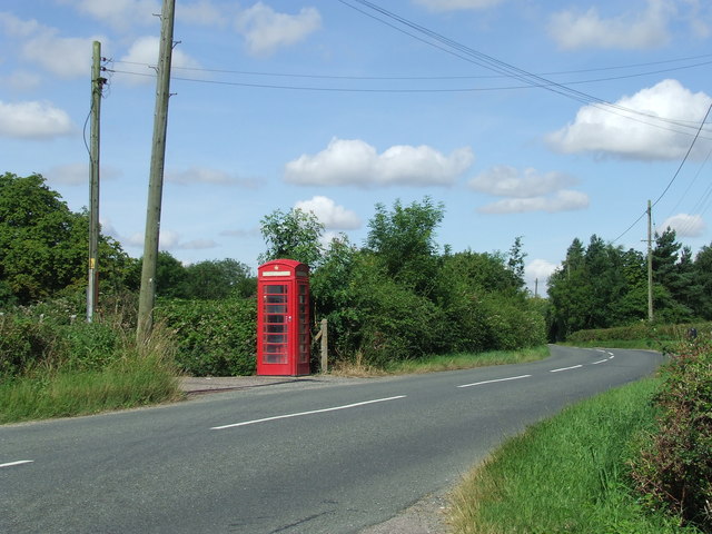
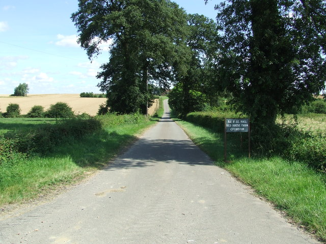
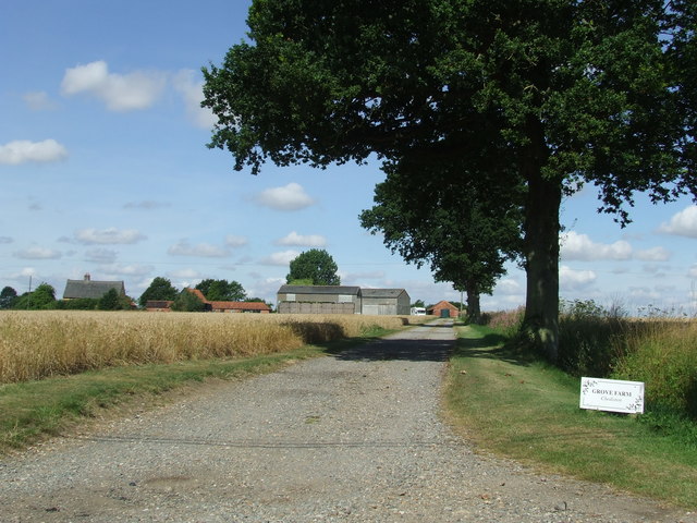
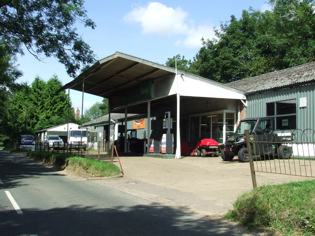
Morrellhaugh Green Images
Images are sourced within 2km of 52.345443/1.4246526 or Grid Reference TM3377. Thanks to Geograph Open Source API. All images are credited.
Morrellhaugh Green is located at Grid Ref: TM3377 (Lat: 52.345443, Lng: 1.4246526)
Administrative County: Suffolk
District: East Suffolk
Police Authority: Suffolk
What 3 Words
///sharpens.large.convinced. Near Cookley, Suffolk
Nearby Locations
Related Wikis

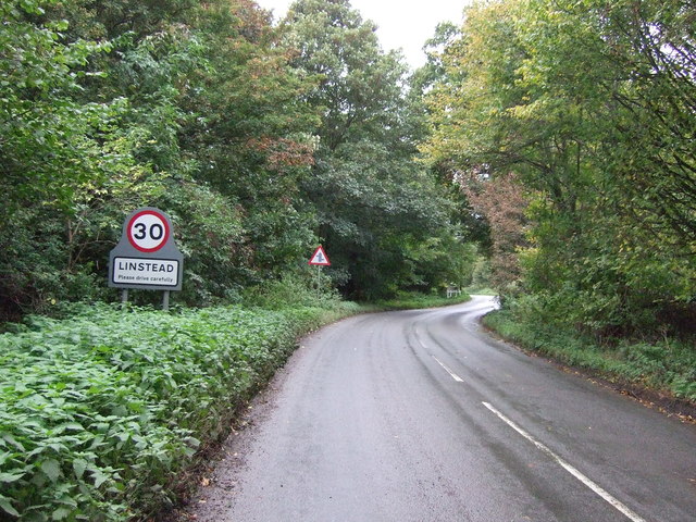
Linstead Parva
Linstead Parva is a small village and civil parish in the East Suffolk district of Suffolk in eastern England. It has a small but notable 13th-century...
Linstead Magna
Linstead Magna is a civil parish in the East Suffolk district of Suffolk in eastern England. == Population and civil parish == In 2005 its population was...

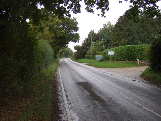
Cookley, Suffolk
Cookley is a small village and civil parish in the East Suffolk district, in the east of the county of Suffolk, England. Nearby settlements include the...
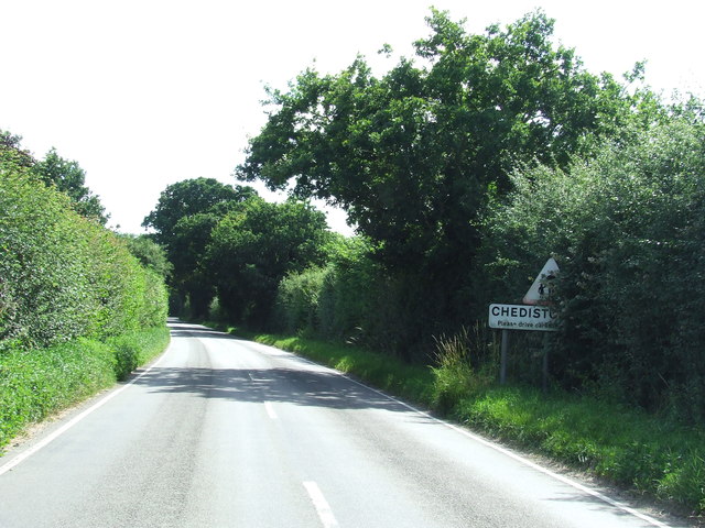
Chediston
Chediston is a village and a civil parish on the B1123 road, in the East Suffolk district, in the English county of Suffolk. It is located 2 miles west...
Nearby Amenities
Located within 500m of 52.345443,1.4246526Have you been to Morrellhaugh Green?
Leave your review of Morrellhaugh Green below (or comments, questions and feedback).