Link Top

Settlement in Worcestershire Malvern Hills

England

Link Top

Gas lamps on Belle Vue Island A couple of decades ago this sloping path was partially covered with an eyesore of a bus shelter.
The whole place has been tidied up since then, though attempts to remove the trees faced local opposition and a campaign in the local newspaper.
Apparently they were planted as a Falklands memorial in or around 1982.
Malvern is very proud of its gas lamps - even claiming that C.S. Lewis was so inspired by them when he was a pupil here to include one in Narnia.
They are too expensive to fuel and maintain, but they may be saved from being electrified by the installation of new efficient, low maintenance gas burners.
Gas lamps on Belle Vue Island Credit: Bob Embleton

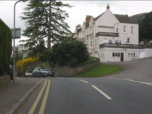
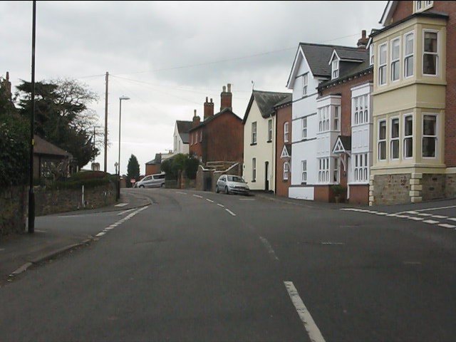
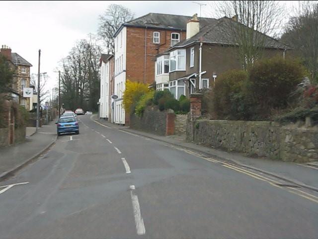
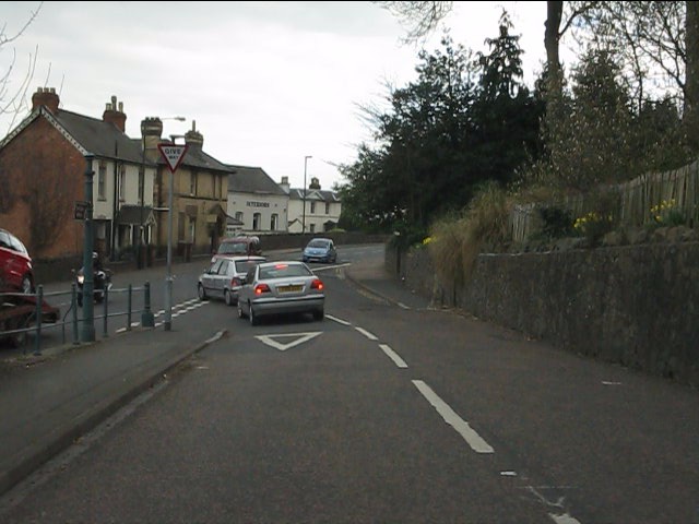
Link Top is a small village located in the county of Worcestershire, England. Situated approximately 3 miles southwest of the town of Redditch, it is a peaceful and picturesque rural area with a population of around 500 residents.

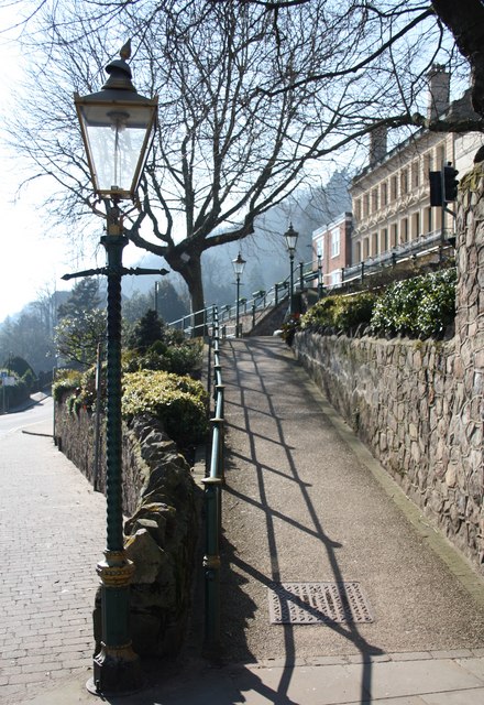
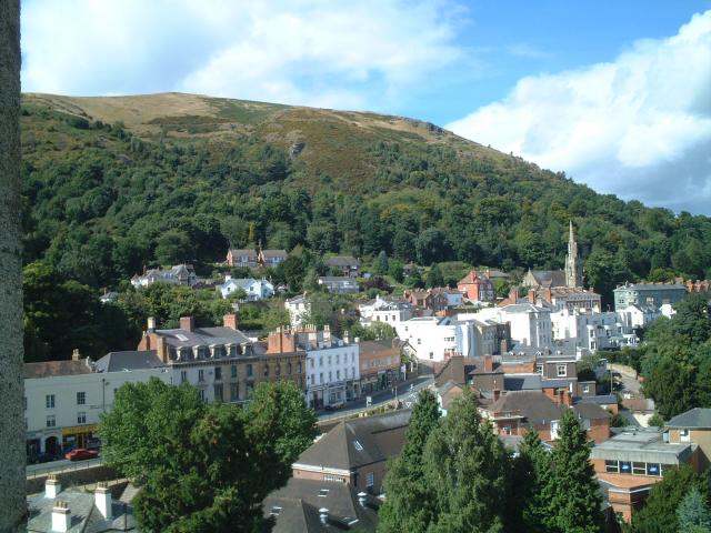
The village is surrounded by beautiful countryside and offers stunning views of the nearby Malvern Hills. It is well-known for its charming traditional architecture, with many houses featuring quaint thatched roofs and timber-framed walls.

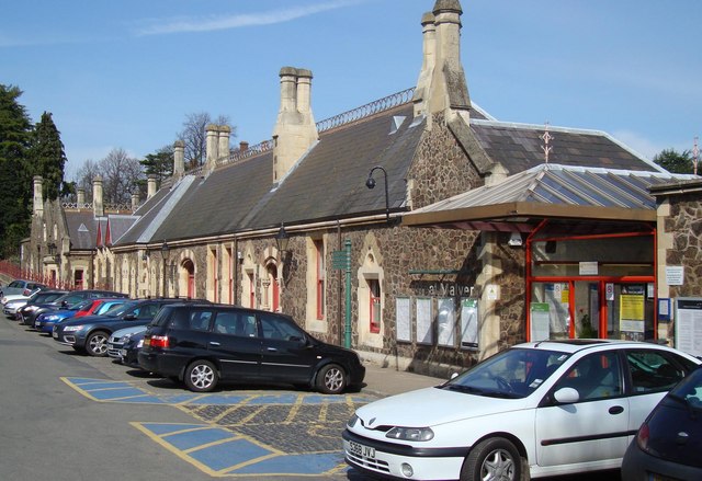
Link Top is primarily a residential area, with a strong community spirit. The village boasts a local primary school, providing education for children within the area. There are also a few small businesses and shops, including a convenience store and a post office, catering to the daily needs of the residents.

Although Link Top may be small in size, it offers plenty of opportunities for outdoor activities and leisure pursuits. The surrounding countryside provides ample opportunities for walking, cycling, and horse riding, making it a popular destination for nature enthusiasts.

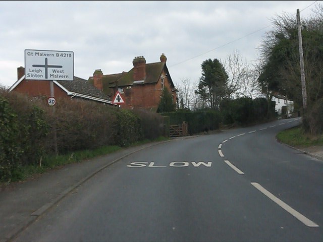
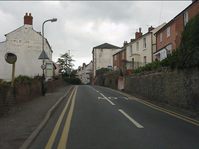
The village is well-connected to the nearby towns and cities, with good transport links including regular bus services. The nearby M5 motorway also provides easy access to the larger cities of Birmingham and Worcester.

Overall, Link Top is a tranquil and close-knit community that offers a peaceful countryside living experience while still providing convenient access to the amenities and cultural offerings of nearby urban areas.

If you have any feedback on the listing, please let us know in the comments section below.
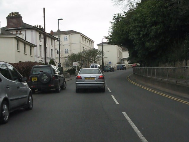
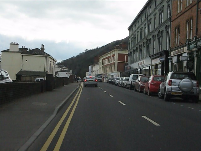
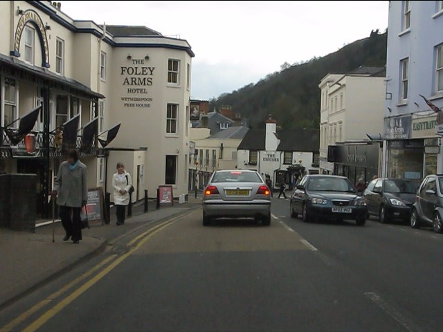
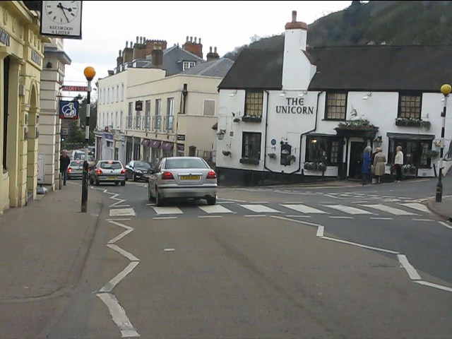
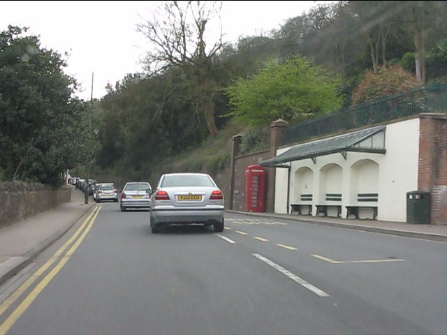
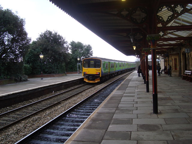
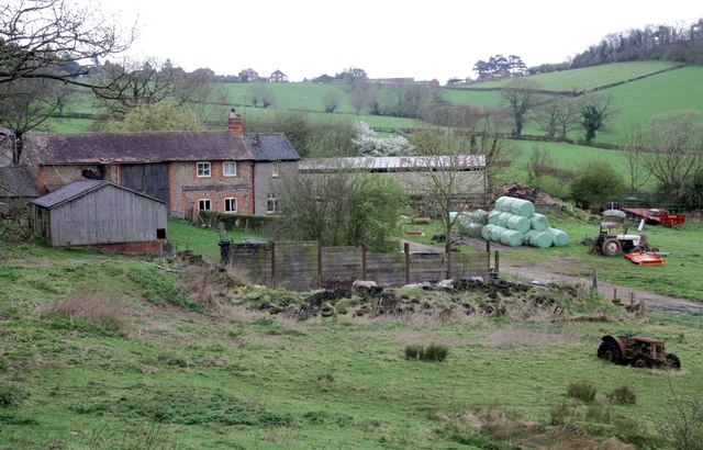
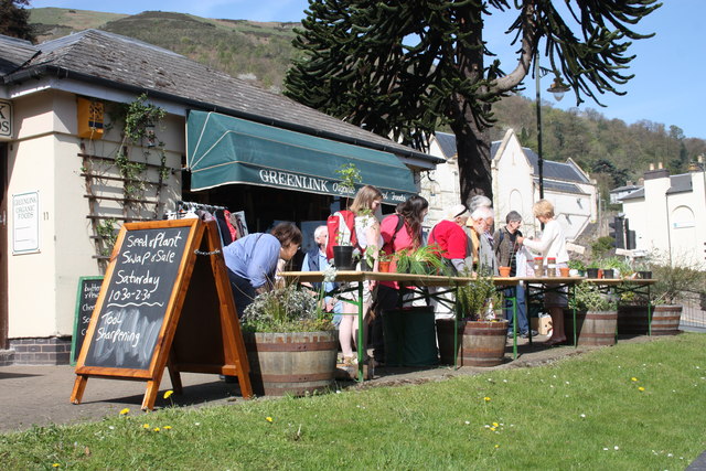
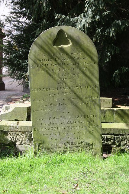
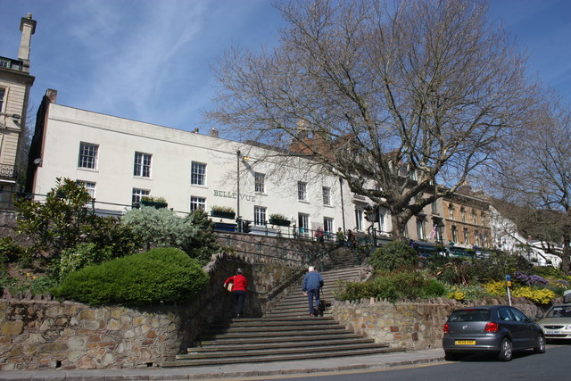
Link Top Images

Images are sourced within 2km of 52.119422/-2.3303783 or Grid Reference SO7746. Thanks to Geograph Open Source API. All images are credited.

Gas lamps on Belle Vue Island A couple of decades ago this sloping path was partially covered with an eyesore of a bus shelter.
The whole place has been tidied up since then, though attempts to remove the trees faced local opposition and a campaign in the local newspaper.
Apparently they were planted as a Falklands memorial in or around 1982.
Malvern is very proud of its gas lamps - even claiming that C.S. Lewis was so inspired by them when he was a pupil here to include one in Narnia.
They are too expensive to fuel and maintain, but they may be saved from being electrified by the installation of new efficient, low maintenance gas burners.
Gas lamps on Belle Vue Island
A couple of decades ago this sloping path was partially covered with an eyesore of a bus shelter. The whole place has been tidied up since then, though attempts to remove the trees faced local opposition and a campaign in the local newspaper. Apparently they were planted as a Falklands memorial in or around 1982. Malvern is very proud of its gas lamps - even claiming that C.S. Lewis was so inspired by them when he was a pupil here to include one in Narnia. They are too expensive to fuel and maintain, but they may be saved from being electrified by the installation of new efficient, low maintenance gas burners.
Great Malvern Station The exterior and passenger entrance of Great Malvern Station.
Great Malvern Station
The exterior and passenger entrance of Great Malvern Station.
North Malvern - Cowleigh Road approaching Cowleigh Bank crossroads
North Malvern - Cowleigh Road Faded lettering on the building on the left reveals it to once have been the Cowleigh Arms free house and off licence.  It is now a private dwelling.
North Malvern - Cowleigh Road
Faded lettering on the building on the left reveals it to once have been the Cowleigh Arms free house and off licence. It is now a private dwelling.
North Malvern - building at the junction of Cowleigh Road and Old Hollow
North Malvern - Cowleigh Road at Belvoir Bank
North Malvern - eastern end of Cowleigh Road
North Malvern Road meets Worcester Road A busy junction with blind sightlines both ways and heavy traffic on all routes.  Typical of local roads in the Malvern area and symptomatic of the town centre's decline in favour of more accessible retail parks.
North Malvern Road meets Worcester Road
A busy junction with blind sightlines both ways and heavy traffic on all routes. Typical of local roads in the Malvern area and symptomatic of the town centre's decline in favour of more accessible retail parks.
Great Malvern - Worcester Road near Bank Street
Great Malvern - Worcester Road at Bray's Bray's department store occupies the grey-painted building on the right.  A rare survivor of the "Are You Being Served?" variety.
Great Malvern - Worcester Road at Bray's
Bray's department store occupies the grey-painted building on the right. A rare survivor of the "Are You Being Served?" variety.
Great Malvern - Worcester Road at the Foley Arms Hotel The Foley Arms had a chequered life in the period 2008-2010. It ceased trading as a hotel, was occupied by its own staff in a "sit in" and finally acquired by the Wetherspoons chain, whose name it now sports.  The Foley Arms now (2011) provides both accommodation and the usual Wetherspoons bar experience.
Great Malvern - Worcester Road at the Foley Arms Hotel
The Foley Arms had a chequered life in the period 2008-2010. It ceased trading as a hotel, was occupied by its own staff in a "sit in" and finally acquired by the Wetherspoons chain, whose name it now sports. The Foley Arms now (2011) provides both accommodation and the usual Wetherspoons bar experience.
Great Malvern - The Unicorn pub Proof that you can see a unicorn!  There's one over the entrance.
Great Malvern - The Unicorn pub
Proof that you can see a unicorn! There's one over the entrance.
Great Malvern - sheltered seating near the Belle Vue Hotel
Great Malvern Station, South End A "Sprinter" train, No 150106, leaves Great Malvern Station for the south
Great Malvern Station, South End
A "Sprinter" train, No 150106, leaves Great Malvern Station for the south
Birches Farm In the valley of the Whippets Brook between the limestone ridge to the west and the granite of the Malvern Hills to the east.
Birches Farm
In the valley of the Whippets Brook between the limestone ridge to the west and the granite of the Malvern Hills to the east.
Plant sale outside Greenlink Organic Greenlink is one of the better shops in Malvern for organic wholefood and much more.
A real alternative to Waitrose (visible beyond the monkey puzzle tree)
In addition to plants there was a sale of refurbished tools.
North Hill in the background.
Plant sale outside Greenlink Organic
Greenlink is one of the better shops in Malvern for organic wholefood and much more. A real alternative to Waitrose (visible beyond the monkey puzzle tree) In addition to plants there was a sale of refurbished tools. North Hill in the background.
Mc Cann / Hook gravestone in Malvern churchyard Just caught in the sunlight.
To the memory of Anne Elizabeth wife of John Mc Cann of this parish who died Oct 9th 1852 aged 42 years.
Also of Elizabeth Patience Hook, aged 50 years, daughter of the above, who died at sea Feb 27th 1867 (Lat 51:18s Long 132 w)
Also of Kate Elizabeth, daughter of George and Elizabeth Patience Hook who died March 8th 1867 aged 9 months
Also of William youngest son of the above
died Decr 18th 1906 aged 59 years
Mc Cann / Hook gravestone in Malvern churchyard
Just caught in the sunlight. To the memory of Anne Elizabeth wife of John Mc Cann of this parish who died Oct 9th 1852 aged 42 years. Also of Elizabeth Patience Hook, aged 50 years, daughter of the above, who died at sea Feb 27th 1867 (Lat 51:18s Long 132 w) Also of Kate Elizabeth, daughter of George and Elizabeth Patience Hook who died March 8th 1867 aged 9 months Also of William youngest son of the above died Decr 18th 1906 aged 59 years
Belle Vue Island The island stands between the A449 Ledbury to Worcester road above and Abbey Road below.
It takes its name from Belle Vue Terrace and the old Belle Vue Hotel (Belle Vue is still visible on the building).
The two London plane trees were planted in memory of the 1982 Falklands war and were saved from felling when the island was improved by a campaign: "Save the Belle Vue Two".
Belle Vue Island
The island stands between the A449 Ledbury to Worcester road above and Abbey Road below. It takes its name from Belle Vue Terrace and the old Belle Vue Hotel (Belle Vue is still visible on the building). The two London plane trees were planted in memory of the 1982 Falklands war and were saved from felling when the island was improved by a campaign: "Save the Belle Vue Two".
Show me another place!

Link Top is located at Grid Ref: SO7746 (Lat: 52.119422, Lng: -2.3303783)

Administrative County: Worcestershire

District: Malvern Hills

Police Authority: West Merica

What 3 Words

///closes.letter.neat. Near Great Malvern, Worcestershire

Nearby Locations

Holly Mount Wood Link Top

Related Wikis

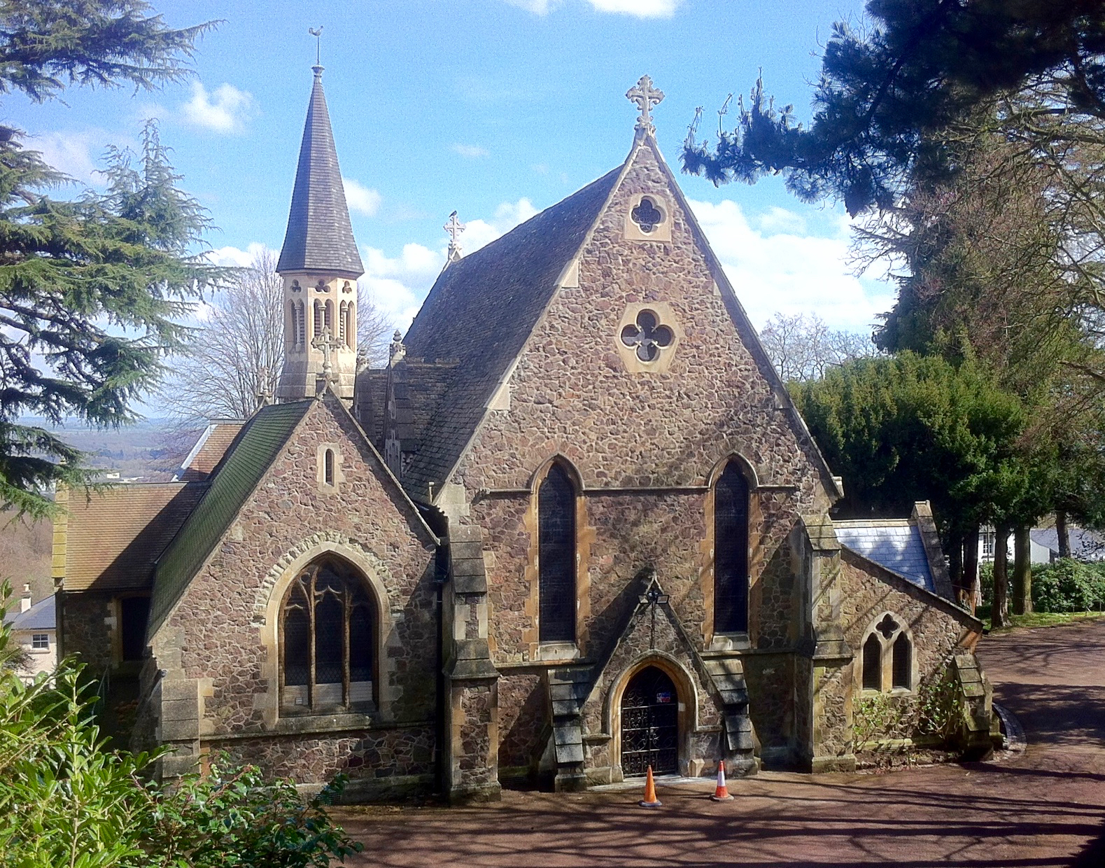
Holy Trinity Church, Malvern Link

The Church of the Holy Trinity in North Malvern, Worcestershire, England is an Anglican church built in 1850–51 with money raised by subscription. Designed...

Link Top

Link Top is a locality of Malvern Link, a major population area of the town of Malvern, Worcestershire, England. It is situated at the western extremity...

Clarendon School for Girls

Clarendon School for Girls was a girls' independent boarding school, which began in 1898 in Malvern, Worcestershire, England. It moved three times: first...

Malvern, Worcestershire

Malvern (, locally also: ) is a spa town and civil parish in Worcestershire, England. It lies at the foot of the Malvern Hills, a designated Area of Outstanding...

North Malvern

North Malvern is a suburb of Malvern, Worcestershire, England. It nestles on the northern slopes of the Malvern Hills. It is a contiguous urban extension...

Foley House, Malvern

Foley House is a Grade II listed building at 28 Worcester Road, Malvern, Worcestershire, England.The two-storey house was created in the early to mid nineteenth...

End Hill

End Hill is the northernmost top of the Malvern Hills that runs approximately 13 kilometres (8 mi) north-south along the Herefordshire-Worcestershire border...

North Hill, Malvern

North Hill is the second highest point of the range of Malvern Hills that runs about 13 kilometres (8.1 mi) north-south along the Herefordshire-Worcestershire...

Nearby Amenities

Located within 500m of 52.119422,-2.3303783
Malvern
Place: town
Population: 32000
Wikidata: Q623323
Wikipedia: en:Malvern, Worcestershire
Lat/Long: 52.1159559/-2.3258985
Traffic Signals
Lat/Long: 52.1204211/-2.3299636
Barrier: fence
Lat/Long: 52.1175974/-2.3298637
Bus Stop
Moorlands Road
Bench: no
Bin: no
Bus: yes
Naptan AtcoCode: 2000G009501
Naptan Bearing: N
Naptan CommonName: Moorlands Road
Naptan Crossing: Moorlands Road
Naptan Indicator: adj
Naptan NaptanCode: wocdgdjm
Naptan PlusbusZoneRef: GTMLVRN
Naptan Street: Graham Road
Naptan Verified: no
Public Transport: platform
Shelter: no
Source: naptan_import
Lat/Long: 52.1199279/-2.3266832
Bus Stop
Link Top
Bench: yes
Bus: yes
Naptan AtcoCode: 2000G009503
Naptan Bearing: S
Naptan Indicator: Adj
Naptan Landmark: Shelter
Naptan NaptanCode: wocdgdjt
Naptan PlusbusZoneRef: GTMLVRN
Naptan Street: Worcester Road
Public Transport: platform
Shelter: yes
Source: naptan_import;survey
Timetable: real_time
Lat/Long: 52.120541/-2.3297527
Bus Stop
Trinity Road
Bus: yes
Naptan AtcoCode: 2000G400099
Naptan Bearing: NW
Naptan CommonName: Trinity Road
Naptan Indicator: opp
Naptan Landmark: opposite Shop
Naptan NaptanCode: wocdmwta
Naptan PlusbusZoneRef: GTMLVRN
Naptan Street: North Malvern Road
Public Transport: platform
Shelter: yes
Source: naptan_import;survey
Lat/Long: 52.1201955/-2.3331558
Bus Stop
Kendall Wadley
Bench: no
Bus: yes
Naptan AtcoCode: 2000G500811
Naptan Bearing: N
Naptan CommonName: Graham Road
Naptan Indicator: Adj
Naptan NaptanCode: wocdawjp
Naptan PlusbusZoneRef: GTMLVRN
Naptan Street: Graham Road
Note: Again, name is at variance with official name
Public Transport: platform
Shelter: no
Source: naptan_import;survey
Lat/Long: 52.1163224/-2.3267736
Bus Stop
Bank Street
Bench: no
Bus: yes
Naptan AtcoCode: 2000G502679
Naptan Bearing: S
Naptan CommonName: Bank Street
Naptan Crossing: Bank Street
Naptan Indicator: adj
Naptan NaptanCode: wocgjdgt
Naptan PlusbusZoneRef: GTMLVRN
Naptan Street: Worcester Road
Note: Had to correct n:Bearing to S
Note 2: I need to go and check the displayed name, so I can complain about it being wrong.
Public Transport: platform
Shelter: no
Source: naptan_import;survey
Lat/Long: 52.1174365/-2.3285249
Bus Stop
Classic Interiors
Bench: no
Bin: no
Bus: yes
Lit: no
Naptan AtcoCode: 2000G502680
Naptan Bearing: S
Naptan CommonName: Holly Mount
Naptan Indicator: opp
Naptan NaptanCode: wocdmpdp
Naptan PlusbusZoneRef: GTMLVRN
Naptan Street: Worcester Road
Note: Had to correct n:Bearing to S
Note 1: Corrected official name to "Holly Mount"; Corrected to "opp"; Presented name on stop is still "Classic Interiors".
Public Transport: platform
Shelter: no
Source: naptan_import;survey
Tactile Paving: no
Lat/Long: 52.1152248/-2.3296278
Bus Stop
Trinity Road
Bus: yes
Naptan AtcoCode: 2000G700099
Naptan Bearing: E
Naptan BusStopType: CUS
Naptan CommonName: Trinity Road
Naptan Indicator: Adj
Naptan Landmark: shop
Naptan NaptanCode: wocgpagt
Naptan PlusbusZoneRef: GTMLVRN
Naptan Street: North Malvern Road
Naptan Verified: no
Public Transport: platform
Source: naptan_import
Lat/Long: 52.1204298/-2.3336539
Post Box
Collection Plate: CP7
Collection Times: Mo-Fr 17:45; Sa 11:30
Historic Operator: Royal Mail
Post Box Type: lamp
Ref: WR14 4
Royal Cypher: EIIR
Royal Cypher Wikidata: Q33102113
Lat/Long: 52.118407/-2.326609
Post Box
Collection Plate: CP1
Collection Times: Mo-Fr 17:15; Sa 11:30
Historic Operator: Post Office
Post Box Type: pillar
Ref: WR14 7
Royal Cypher: GR
Royal Cypher Wikidata: Q33102273
Lat/Long: 52.1196928/-2.3296116
Turning Circle
Lat/Long: 52.1204158/-2.3298156
Post Box
Collection Times: Mo-Fr 17:45; Sa 11:30
Description: Has wrong-sized collection plate, more suitable to a lamp box, which RM data says it is.
Post Box Type: wall
Ref: WR14 74
Royal Cypher: no
Source: GPS Waypoint, long exposure
Lat/Long: 52.1219392/-2.3281688
Disused
Colour: green
Disused Amenity: post_box
Post Box Type: wall
Royal Cypher: GR
Lat/Long: 52.1174526/-2.3285297
Miscellany Antiques
Shop: antiques
Lat/Long: 52.1207925/-2.3336836
Post Box
Collection Plate: CP7-R(N)
Collection Times: Mo-Fr 17:15; Sa 11:30
Historic Operator: Royal Mail
Note: Has plate saying WR14 12, but the real WR14 12 is a few 100m North !
Post Box Type: lamp
Ref: WR14 39
Royal Cypher: EIIR
Royal Cypher Wikidata: Q33102113
Lat/Long: 52.1208209/-2.3338414
Recycling
Lat/Long: 52.1207546/-2.3304997
Note: path block by fence and sign DANGER QUARRY
Lat/Long: 52.1179938/-2.3362519
Pub
The Nags Head
Addr City: Malvern
Addr Housenumber: 19-21
Addr Postcode: WR14 2JG
Addr Street: Bank Street
Fhrs Id: 672654
Source Addr: FHRS Open Data
Lat/Long: 52.1199065/-2.3276396
Bench
Lat/Long: 52.1160902/-2.3340864
Post Box
Collection Plate: CP7
Collection Times: Mo-Fr 17:30; Sa 11:30
Historic Operator: Post Office
Post Box Apertures: 1
Post Box Manufacturer: no
Post Box Type: lamp
Ref: WR14 19
Royal Cypher: EIIR
Royal Cypher Wikidata: Q33102113
Lat/Long: 52.1218708/-2.3333544
Link Top Phone Box
Bench: yes
Layby: yes
Naptan AtcoCode: 2000G009500
Naptan Bearing: NE
Naptan CommonName: Phone Box
Naptan Indicator: adj
Naptan Landmark: Link Top
Naptan NaptanCode: wocdgdjg
Naptan PlusbusZoneRef: GTMLVRN
Naptan Street: Worcester Road
Note: This hasn't seen buses since 1980-something. No furniture to indicate it is a bus stop.
Note 2: Had to add physically_present=no.
Note 3: Atco and Naptan codes seem to not exist
Note 4: Had to correct n:Bearing to NE
Physically Present: no
Shelter: no
Source: naptan_import;survey
Lat/Long: 52.1207884/-2.329976
Bus Stop
Newtown Road
Bus: yes
Naptan AtcoCode: 2000G009502
Naptan Bearing: N
Naptan CommonName: Newtown Road
Naptan Indicator: Adj
Naptan Landmark: near Car Park
Naptan NaptanCode: wocdgdjp
Naptan PlusbusZoneRef: GTMLVRN
Naptan Street: Newtown Road
Public Transport: platform
Source: naptan_import;survey
Lat/Long: 52.1213009/-2.33045
Traffic Signals
Lat/Long: 52.1226129/-2.3254305
Bench
Backrest: yes
Lat/Long: 52.1208884/-2.3299847
Pub
The Retired Soldier
Addr Street: Newtown Road
Internet Access: wlan
Internet Access Fee: no
Lat/Long: 52.1223902/-2.3308273
Bus Stop
Albert Road North
Bench: no
Bus: yes
Naptan AtcoCode: 2000G500822
Naptan Bearing: S
Naptan CommonName: Victoria Road
Naptan NaptanCode: wocgtgdg
Naptan Street: Victoria Road
Note: Can't seem to reconcile what the name should be. Seems to be different OTG
Public Transport: platform
Shelter: no
Source: survey
Lat/Long: 52.1171715/-2.3251696
Link Top
Place: neighbourhood
Wikidata: Q15242431
Wikipedia: en:Link Top
Lat/Long: 52.1206211/-2.3300895
North Malvern
Place: suburb
Wikidata: Q7056033
Wikipedia: en:North Malvern
Lat/Long: 52.1216013/-2.3365143
On Track Bikes
Shop: bicycle
Lat/Long: 52.120388/-2.3332227
Fixme: incomplete
Lat/Long: 52.1191576/-2.3340783
Pharmacy
Lygon Pharmacy
Healthcare: pharmacy
Opening Hours: Mo-Sa 09:00-17:30
Lat/Long: 52.1195826/-2.3294219
High Spring Watering Hole
Natural: spring
Lat/Long: 52.1167108/-2.3353742
Man Made: mast
Lat/Long: 52.1159068/-2.3300488
Note: Looks like a temporary busness no name visible
Shop: cosmetics
Lat/Long: 52.1193809/-2.329319
Link Top News
Addr City: Malvern
Addr Housenumber: 86
Addr Postcode: WR14 1NY
Addr Street: Worcester Road
Fhrs Id: 684995
Shop: convenience
Source Addr: FHRS Open Data
Lat/Long: 52.1196724/-2.3294715
Restaurant
Cave
Cuisine: indian
Lat/Long: 52.1197333/-2.3295194
Belle Beauty
Note: According to sign in window opening 4th April 2017
Shop: beauty
Lat/Long: 52.1197838/-2.3295643
M Leach
Shop: jewelry
Lat/Long: 52.1198353/-2.3295924
Floral Events
Opening Hours: Mo-Sa 09:00-17:30
Shop: florist
Lat/Long: 52.1198996/-2.3296239
Historic: memorial
Inscription: To The Memory of those from Trinity Ward who made the the Supreme Sacrifice 1914-1918 1939-1945 March 195?
Memorial: war_memorial
Lat/Long: 52.1203092/-2.3297595
Clock
Perrin House Clock Tower
Display: sundial
Faces: 4
Visibility: street
Lat/Long: 52.1202243/-2.3246215
Elemental
Office: advertising_agency
Lat/Long: 52.1204911/-2.333369
Ballet Malvern
Dance Teaching: yes
Leisure: dance
Lat/Long: 52.120636/-2.3333207
The Hairshop
Shop: hairdresser
Lat/Long: 52.1206739/-2.3334146
Organic: yes
Shop: vacant
Lat/Long: 52.1207233/-2.3335031
Generator Method: photovoltaic
Generator Output Electricity: yes
Generator Source: solar
Generator Type: solar_photovoltaic_panel
Location: roof
Power: generator
Lat/Long: 52.123434/-2.3336667
Generator Source: solar
Power: generator
Lat/Long: 52.1156218/-2.3284096
Generator Source: solar
Power: generator
Lat/Long: 52.1159117/-2.328364
Check Date: 2023-04-08
Shop: vacant
Lat/Long: 52.1193334/-2.3292919
Generator Method: photovoltaic
Generator Output Electricity: yes
Generator Source: solar
Generator Type: solar_photovoltaic_panel
Location: roof
Power: generator
Lat/Long: 52.1227234/-2.3271064
Give Way
Lat/Long: 52.1201315/-2.3272885
Give Way
Lat/Long: 52.1202272/-2.3264186
Waste Basket
Lat/Long: 52.1213734/-2.32394
Bench
Lat/Long: 52.1170894/-2.3344182
Bench
Backrest: no
Lat/Long: 52.1201363/-2.3259277
Bench
Backrest: no
Lat/Long: 52.1203433/-2.3266276
Fixme: draw area
Historic: pound
Mapillary: 891759638048858
Wikimedia Commons: File:Stock Whipping Post and Pound North Malvern.jpg
Lat/Long: 52.1193501/-2.3307738
The data included in this document is from www.openstreetmap.org. The data is made available under ODbL.

Have you been to Link Top?

Leave your review of Link Top below (or comments, questions and feedback).