Holly Mount Wood

Wood, Forest in Worcestershire Malvern Hills

England

Holly Mount Wood

Great Malvern Station The exterior and passenger entrance of Great Malvern Station.
Great Malvern Station Credit: Rob Newman

Holly Mount Wood is a picturesque forest located in Worcestershire, England. Spanning over a vast area of land, the wood is known for its stunning natural beauty and diverse range of flora and fauna. It is a popular destination for nature lovers, hikers, and wildlife enthusiasts.

The wood is primarily composed of deciduous trees, including oak, beech, and birch, which create a vibrant and colorful canopy during the autumn season. In addition to the majestic trees, the forest floor is adorned with a carpet of bluebells during spring, adding to its ethereal charm.

Holly Mount Wood is home to a variety of wildlife species, making it a haven for nature enthusiasts. Visitors may catch a glimpse of deer, badgers, foxes, and a multitude of bird species, including woodpeckers and owls. The wood provides a natural habitat for these animals, allowing them to thrive in a peaceful environment.

For those seeking outdoor activities, the wood offers numerous walking trails, perfect for leisurely strolls or more challenging hikes. The trails wind through the forest, allowing visitors to immerse themselves in the tranquil surroundings and enjoy the fresh air. The wood also offers picnic areas, providing the ideal spot for families and friends to relax and enjoy a meal amidst nature.

Overall, Holly Mount Wood is a serene and enchanting forest, providing a sanctuary for wildlife and a peaceful escape for visitors. Its natural beauty and diverse range of activities make it a must-visit destination for those seeking a connection with nature.

If you have any feedback on the listing, please let us know in the comments section below.

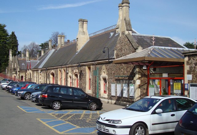
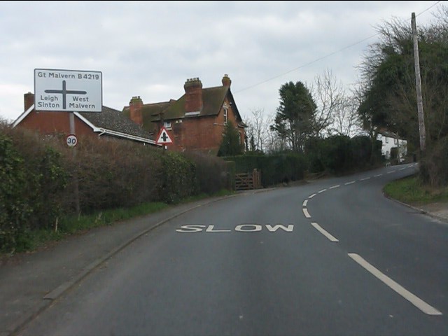
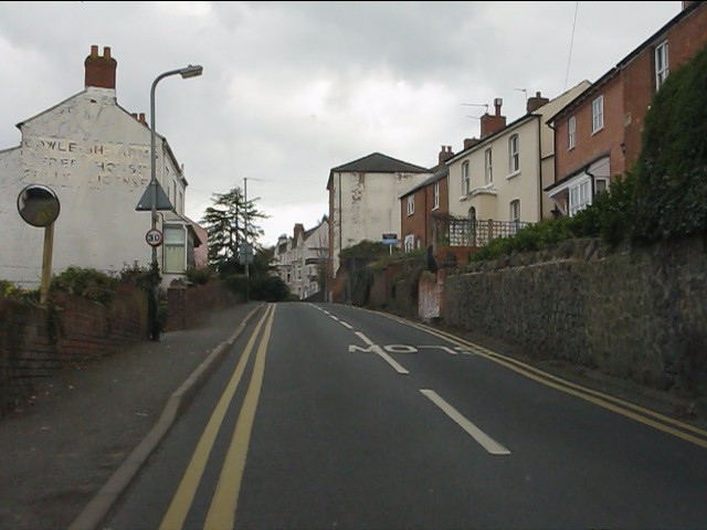
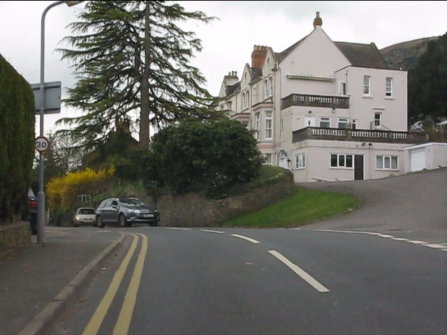
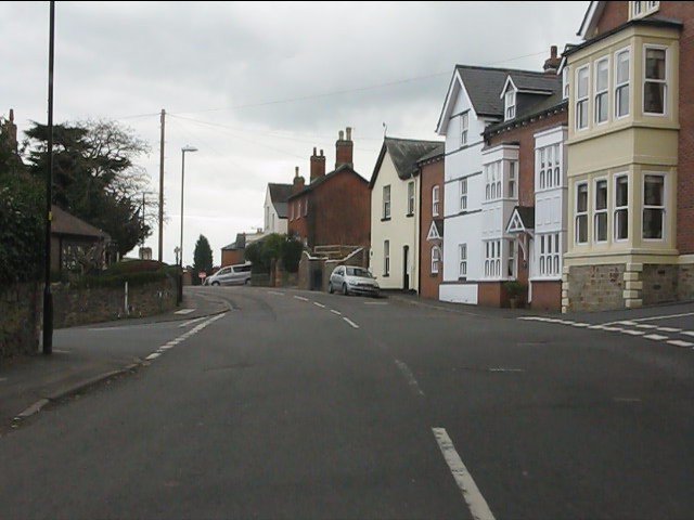
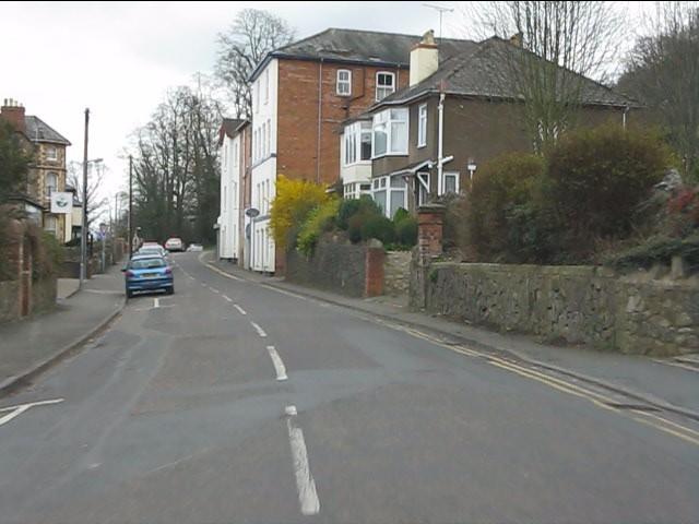
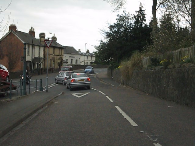
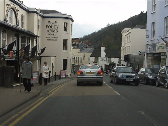
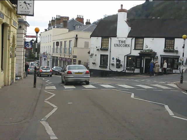
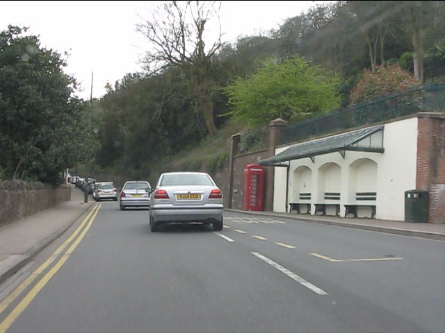
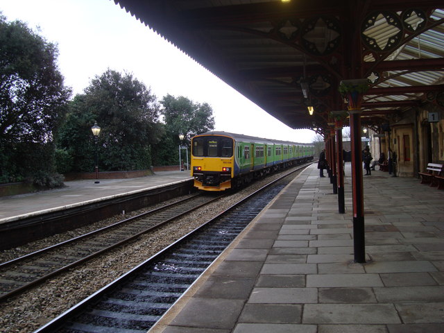
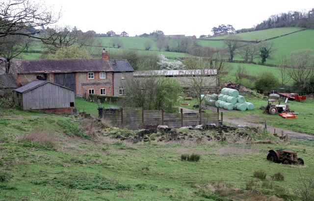
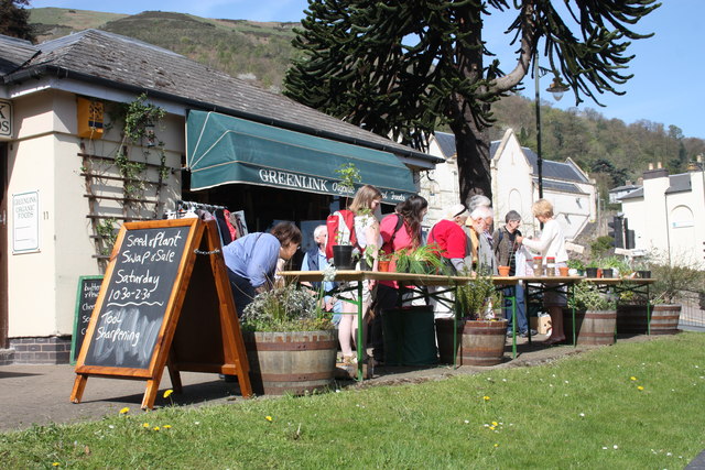
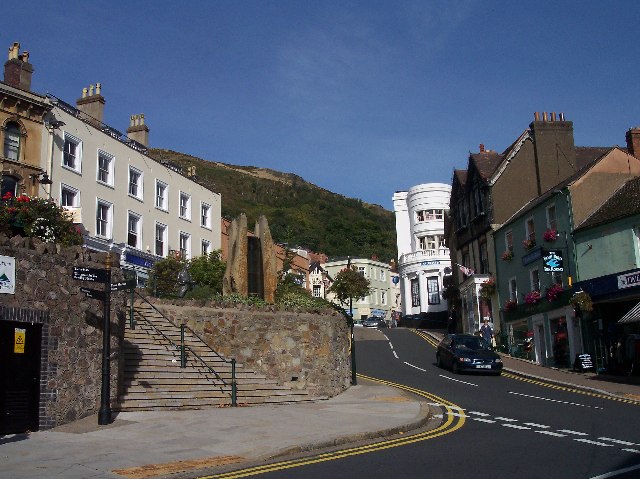
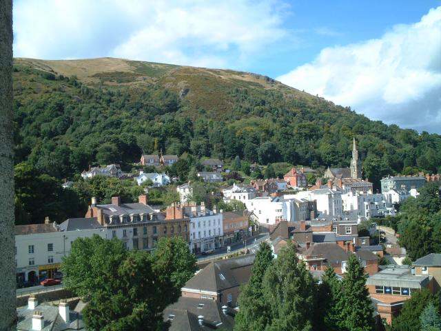
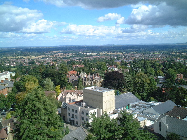
Holly Mount Wood Images

Images are sourced within 2km of 52.114238/-2.332399 or Grid Reference SO7746. Thanks to Geograph Open Source API. All images are credited.

Great Malvern Station The exterior and passenger entrance of Great Malvern Station.
Great Malvern Station
The exterior and passenger entrance of Great Malvern Station.
North Malvern - Cowleigh Road approaching Cowleigh Bank crossroads
North Malvern - Cowleigh Road Faded lettering on the building on the left reveals it to once have been the Cowleigh Arms free house and off licence.  It is now a private dwelling.
North Malvern - Cowleigh Road
Faded lettering on the building on the left reveals it to once have been the Cowleigh Arms free house and off licence. It is now a private dwelling.
North Malvern - building at the junction of Cowleigh Road and Old Hollow
North Malvern - Cowleigh Road at Belvoir Bank
North Malvern - eastern end of Cowleigh Road
North Malvern Road meets Worcester Road A busy junction with blind sightlines both ways and heavy traffic on all routes.  Typical of local roads in the Malvern area and symptomatic of the town centre's decline in favour of more accessible retail parks.
North Malvern Road meets Worcester Road
A busy junction with blind sightlines both ways and heavy traffic on all routes. Typical of local roads in the Malvern area and symptomatic of the town centre's decline in favour of more accessible retail parks.
Great Malvern - Worcester Road near Bank Street
Great Malvern - Worcester Road at Bray's Bray's department store occupies the grey-painted building on the right.  A rare survivor of the "Are You Being Served?" variety.
Great Malvern - Worcester Road at Bray's
Bray's department store occupies the grey-painted building on the right. A rare survivor of the "Are You Being Served?" variety.
Great Malvern - Worcester Road at the Foley Arms Hotel The Foley Arms had a chequered life in the period 2008-2010. It ceased trading as a hotel, was occupied by its own staff in a "sit in" and finally acquired by the Wetherspoons chain, whose name it now sports.  The Foley Arms now (2011) provides both accommodation and the usual Wetherspoons bar experience.
Great Malvern - Worcester Road at the Foley Arms Hotel
The Foley Arms had a chequered life in the period 2008-2010. It ceased trading as a hotel, was occupied by its own staff in a "sit in" and finally acquired by the Wetherspoons chain, whose name it now sports. The Foley Arms now (2011) provides both accommodation and the usual Wetherspoons bar experience.
Great Malvern - The Unicorn pub Proof that you can see a unicorn!  There's one over the entrance.
Great Malvern - The Unicorn pub
Proof that you can see a unicorn! There's one over the entrance.
Great Malvern - sheltered seating near the Belle Vue Hotel
Great Malvern Station, South End A "Sprinter" train, No 150106, leaves Great Malvern Station for the south
Great Malvern Station, South End
A "Sprinter" train, No 150106, leaves Great Malvern Station for the south
Birches Farm In the valley of the Whippets Brook between the limestone ridge to the west and the granite of the Malvern Hills to the east.
Birches Farm
In the valley of the Whippets Brook between the limestone ridge to the west and the granite of the Malvern Hills to the east.
Plant sale outside Greenlink Organic Greenlink is one of the better shops in Malvern for organic wholefood and much more.
A real alternative to Waitrose (visible beyond the monkey puzzle tree)
In addition to plants there was a sale of refurbished tools.
North Hill in the background.
Plant sale outside Greenlink Organic
Greenlink is one of the better shops in Malvern for organic wholefood and much more. A real alternative to Waitrose (visible beyond the monkey puzzle tree) In addition to plants there was a sale of refurbished tools. North Hill in the background.
Mc Cann / Hook gravestone in Malvern churchyard Just caught in the sunlight.
To the memory of Anne Elizabeth wife of John Mc Cann of this parish who died Oct 9th 1852 aged 42 years.
Also of Elizabeth Patience Hook, aged 50 years, daughter of the above, who died at sea Feb 27th 1867 (Lat 51:18s Long 132 w)
Also of Kate Elizabeth, daughter of George and Elizabeth Patience Hook who died March 8th 1867 aged 9 months
Also of William youngest son of the above
died Decr 18th 1906 aged 59 years
Mc Cann / Hook gravestone in Malvern churchyard
Just caught in the sunlight. To the memory of Anne Elizabeth wife of John Mc Cann of this parish who died Oct 9th 1852 aged 42 years. Also of Elizabeth Patience Hook, aged 50 years, daughter of the above, who died at sea Feb 27th 1867 (Lat 51:18s Long 132 w) Also of Kate Elizabeth, daughter of George and Elizabeth Patience Hook who died March 8th 1867 aged 9 months Also of William youngest son of the above died Decr 18th 1906 aged 59 years
Belle Vue Island The island stands between the A449 Ledbury to Worcester road above and Abbey Road below.
It takes its name from Belle Vue Terrace and the old Belle Vue Hotel (Belle Vue is still visible on the building).
The two London plane trees were planted in memory of the 1982 Falklands war and were saved from felling when the island was improved by a campaign: "Save the Belle Vue Two".
Belle Vue Island
The island stands between the A449 Ledbury to Worcester road above and Abbey Road below. It takes its name from Belle Vue Terrace and the old Belle Vue Hotel (Belle Vue is still visible on the building). The two London plane trees were planted in memory of the 1982 Falklands war and were saved from felling when the island was improved by a campaign: "Save the Belle Vue Two".
Belle Vue Island Looking north from the Malvhina fountain.
The gas lamps are soon to be converted to use more efficient burners making them brighter, cheaper and more reliable.
Belle Vue Island
Looking north from the Malvhina fountain. The gas lamps are soon to be converted to use more efficient burners making them brighter, cheaper and more reliable.
Show me another place!

Holly Mount Wood is located at Grid Ref: SO7746 (Lat: 52.114238, Lng: -2.332399)

Administrative County: Worcestershire

District: Malvern Hills

Police Authority: West Mercia

What 3 Words

///cone.filer.preoccupied. Near Great Malvern, Worcestershire

Nearby Locations

Holly Mount Wood Link Top

Related Wikis

Foley House, Malvern

Foley House is a Grade II listed building at 28 Worcester Road, Malvern, Worcestershire, England.The two-storey house was created in the early to mid nineteenth...

The Theatre of Small Convenience

The Theatre of Small Convenience was a theatre in Malvern, Worcestershire, England. In 2002 it entered the Guinness Book of World Records as the world...

Great Malvern

Great Malvern is an area of the civil parish of Malvern, in the Malvern Hills district, in the county of Worcestershire, England. It lies at the foot of...

Malvern Museum

The Malvern Museum in Great Malvern, the town centre of Malvern, Worcestershire, England, is located in the Priory Gatehouse, the former gateway to the...

North Hill, Malvern

North Hill is the second highest point of the range of Malvern Hills that runs about 13 kilometres (8.1 mi) north-south along the Herefordshire-Worcestershire...

Great Malvern Priory

Great Malvern Priory in Malvern, Worcestershire, England, was a Benedictine monastery (c. 1075 – 1540) and is now an Anglican parish church. In 1949 it...

St. Ann's Well, Malvern

St. Ann's Well is set on the slopes of the Malvern Hills above Great Malvern. It is a popular site on a path leading up to the Worcestershire Beacon and...

Festival Theatre, Malvern

The Festival Theatre, now known as Malvern Theatres, is a theatre complex on Grange Road in Malvern, Worcestershire, England. Malvern Theatres, housed...

Nearby Amenities

Located within 500m of 52.114238,-2.332399
Malvern
Place: town
Population: 32000
Wikidata: Q623323
Wikipedia: en:Malvern, Worcestershire
Lat/Long: 52.1159559/-2.3258985
Fixme: Seems to be some ambiguity as to whether this little loop of a road is called Wells Road or something else.
Lat/Long: 52.1104806/-2.3301078
Crossing
Button Operated: yes
Crossing: traffic_signals
Crossing Island: no
Tactile Paving: yes
Traffic Signals Sound: yes
Traffic Signals Vibration: yes
Lat/Long: 52.1111301/-2.3299133
Toilets
Lat/Long: 52.1100968/-2.3334264
North Hill
Ele: 398
Natural: peak
Source: GPS
Wikidata: Q7055620
Wikipedia: en:North Hill, Malvern
Lat/Long: 52.1151079/-2.3382675
Barrier: fence
Lat/Long: 52.1175974/-2.3298637
Bench
Lat/Long: 52.114419/-2.3357555
Bus Stop
Belle Vue Terrace
Bus: yes
Naptan AtcoCode: 2000G009400
Naptan Bearing: N
Naptan CommonName: Belle Vue Terrace
Naptan Indicator: Adj
Naptan NaptanCode: wocdgdga
Naptan PlusbusZoneRef: GTMLVRN
Naptan Street: Belle Vue Terrace
Naptan Verified: no
Public Transport: platform
Source: naptan_import
Lat/Long: 52.1109913/-2.3298159
Bus Stop
Foley Arms
Bench: no
Bus: yes
Naptan AtcoCode: 2000G009403
Naptan Bearing: S
Naptan CommonName: Foley Arms
Naptan Indicator: adj
Naptan Landmark: Foley Arms
Naptan NaptanCode: wocdgdgm
Naptan PlusbusZoneRef: GTMLVRN
Naptan Street: Worcester Road
Note: Need to see if there is a different name displayed on this stop wrt the official one.
Public Transport: platform
Shelter: no
Source: naptan_import;survey
Lat/Long: 52.1127376/-2.3301121
Bus Stop
Graham Road
Bench: yes
Bus: yes
Local Ref: H
Naptan AtcoCode: 2000G009405
Naptan Bearing: N
Naptan CommonName: Graham Road
Naptan Indicator: Stop H
Naptan Landmark: opp Library
Naptan NaptanCode: wocdgdgt
Naptan PlusbusZoneRef: GTMLVRN
Naptan Street: Graham Road
Public Transport: platform
Shelter: yes
Source: naptan_import;survey
Timetable: real_time
Lat/Long: 52.1129311/-2.3273769
Bus Stop
Rosebank Gardens
Bench: yes
Bus: yes
Local Ref: E
Naptan AtcoCode: 2000G009407
Naptan Bearing: N
Naptan CommonName: Rosebank Gardens
Naptan Indicator: Stop E
Naptan Landmark: Rosebank Gardens
Naptan NaptanCode: wocdgdja
Naptan PlusbusZoneRef: GTMLVRN
Naptan Street: Wells Road
Naptan Verified: yes
Public Transport: platform
Shelter: yes
Source: naptan_import;survey
Lat/Long: 52.1102479/-2.330249
Bus Stop
Kendall Wadley
Bench: no
Bus: yes
Naptan AtcoCode: 2000G500811
Naptan Bearing: N
Naptan CommonName: Graham Road
Naptan Indicator: Adj
Naptan NaptanCode: wocdawjp
Naptan PlusbusZoneRef: GTMLVRN
Naptan Street: Graham Road
Note: Again, name is at variance with official name
Public Transport: platform
Shelter: no
Source: naptan_import;survey
Lat/Long: 52.1163224/-2.3267736
Bus Stop
Bank Street
Bench: no
Bus: yes
Naptan AtcoCode: 2000G502679
Naptan Bearing: S
Naptan CommonName: Bank Street
Naptan Crossing: Bank Street
Naptan Indicator: adj
Naptan NaptanCode: wocgjdgt
Naptan PlusbusZoneRef: GTMLVRN
Naptan Street: Worcester Road
Note: Had to correct n:Bearing to S
Note 2: I need to go and check the displayed name, so I can complain about it being wrong.
Public Transport: platform
Shelter: no
Source: naptan_import;survey
Lat/Long: 52.1174365/-2.3285249
Bus Stop
Classic Interiors
Bench: no
Bin: no
Bus: yes
Lit: no
Naptan AtcoCode: 2000G502680
Naptan Bearing: S
Naptan CommonName: Holly Mount
Naptan Indicator: opp
Naptan NaptanCode: wocdmpdp
Naptan PlusbusZoneRef: GTMLVRN
Naptan Street: Worcester Road
Note: Had to correct n:Bearing to S
Note 1: Corrected official name to "Holly Mount"; Corrected to "opp"; Presented name on stop is still "Classic Interiors".
Public Transport: platform
Shelter: no
Source: naptan_import;survey
Tactile Paving: no
Lat/Long: 52.1152248/-2.3296278
Bus Stop
Bench: no
Bus: yes
Naptan AtcoCode: 2000G502688
Naptan Bearing: N
Naptan CommonName: Brays
Naptan Indicator: Adj
Naptan Landmark: Shops
Naptan NaptanCode: wocdmpgp
Naptan PlusbusZoneRef: GTMLVRN
Naptan Street: Worcester Road
Note: I think this bus stop has been moved recently
Public Transport: platform
Shelter: no
Source: naptan_import;survey
Lat/Long: 52.1140056/-2.3300401
Pub
Red Lion
Addr City: Malvern
Addr Housenumber: 4
Addr Postcode: WR14 4RG
Addr Street: St Ann's Road
Fhrs Id: 684652
Operator: Marston's
Source Addr: FHRS Open Data
Lat/Long: 52.1122641/-2.3307468
Restaurant
Anupam
Addr City: Malvern
Addr Housenumber: 85
Addr Postcode: WR14 2AE
Addr Street: Church Street
Cuisine: indian
Fhrs Id: 672688
Phone: +44 1684 573814
Website: https://www.anupam.co.uk/
Lat/Long: 52.1116213/-2.3278342
Restaurant
ASK Italian
Addr City: Malvern
Addr Housenumber: 8
Addr Postcode: WR14 4PZ
Addr Street: Belle Vue Terrace
Brand: ASK Italian
Brand Wikidata: Q4807056
Cuisine: italian
Fhrs Id: 672716
Source Addr: FHRS Open Data
Website: https://www.askitalian.co.uk/italian/restaurants/great-malvern
Lat/Long: 52.1117998/-2.3301605
Post Box
Collection Plate: CP1-LC
Collection Times: Mo-Fr 18:30, Sa 12:30
Historic Operator: Royal Mail
Post Box Apertures: 2
Post Box Design: type_c
Post Box Type: pillar
Ref: WR14 1000
Royal Cypher: EIIR
Royal Cypher Wikidata: Q33102113
Lat/Long: 52.1111893/-2.3295074
Traffic Signals
Lat/Long: 52.111567/-2.3268735
Disused
Colour: green
Disused Amenity: post_box
Post Box Type: wall
Royal Cypher: GR
Lat/Long: 52.1174526/-2.3285297
Post Box
Collection Plate: CP1
Collection Times: Mo-Fr 17:45; Sa 11:30
Historic Operator: Post Office
Post Box Type: pillar
Ref: WR14 3
Royal Cypher: EVIIR
Royal Cypher Wikidata: Q33102324
Lat/Long: 52.1151602/-2.3270393
Historic: monument
Lat/Long: 52.1128848/-2.3270267
Edward Elgar
Historic: monument
Noexit: yes
Lat/Long: 52.1115679/-2.3298681
Taxi
Lat/Long: 52.1111798/-2.3296944
Noexit: yes
Lat/Long: 52.1130727/-2.3271275
Crossing
Crossing Ref: zebra
Lat/Long: 52.1121746/-2.3301862
Bicycle Parking
Bicycle Parking: rack
Capacity: 6
Lat/Long: 52.1128033/-2.3267482
Cafe
Caffè Nero
Addr City: Malvern
Addr Housenumber: 61-65
Addr Postcode: WR14 2AA
Addr Street: Church Street
Brand: Caffè Nero
Brand Wikidata: Q675808
Brand Wikipedia: en:Caffè Nero
Contact Website: https://caffenero.com/uk/store/malvern-216/
Cuisine: coffee_shop
Fhrs Id: 672715
Source Addr: FHRS Open Data
Takeaway: yes
Lat/Long: 52.111468/-2.328357
Bank
Lloyds Bank
Atm: yes
Brand: Lloyds Bank
Brand Wikidata: Q1152847
Contact Website: https://branches.lloydsbank.com/malvern/48-belle-vue-terrace
Lat/Long: 52.1107964/-2.3300712
Atm
Lat/Long: 52.1129062/-2.3286381
Recycling
Recycling Books: yes
Recycling Glass Bottles: yes
Recycling Paper: yes
Lat/Long: 52.1137532/-2.3284382
Drinking Water
Malvhina Spout
Check Date: 2021-10-02
Natural: spring
Lat/Long: 52.1111268/-2.32985
Bar
The Weavers Real Ale House
Lat/Long: 52.1114129/-2.3274078
Note: becomes a private gateway at this pt.
Lat/Long: 52.1125902/-2.3307621
Note: path block by fence and sign DANGER QUARRY
Lat/Long: 52.1179938/-2.3362519
Check Date: 2021-10-02
Description: start/end of the Worcestershire Way
Information: map
Tourism: information
Lat/Long: 52.1113504/-2.3297115
Fountain
Saint Ann's Well
Description: Only accessible during opening hours.
Drinking Water: conditional
Note: Currenlty There is a sign on it saying the water must be boiled before drinking.
Wikidata: Q7586976
Wikipedia: en:St. Ann's Well, Malvern
Lat/Long: 52.1100302/-2.334123
Traffic Signals
Lat/Long: 52.1123447/-2.3273023
Bench
Backrest: no
Lat/Long: 52.1105711/-2.3344515
Bench
Lat/Long: 52.1160902/-2.3340864
Post Box
Collection Plate: CP5
Collection Times: Mo-Fr 17:30; Sa 11:30
Historic Operator: Post Office
Post Box Apertures: 1
Post Box Manufacturer: WT Allen & Co. London
Post Box Type: wall
Postal Code: WR14
Ref: WR14 30
Royal Cypher: VR
Royal Cypher Wikidata: Q33102356
Source: GPS;survey;bing
Lat/Long: 52.1132704/-2.3303334
Malvern Book Cooperative
Addr Housenumber: 2
Addr Postcode: WR14 4RG
Addr Street: St Ann's Road
Email: enquiries@malvernbook.coop
Opening Hours: Tu-Sa 10:00-17:00
Phone: +44 1684 564788
Shop: books
Website: https://www.malvernbook.coop/
Lat/Long: 52.1121494/-2.3304922
Grassendale House
Addr Housenumber: 3
Addr Postcode: WR14 2TD
Addr Street: Victoria Road
Fhrs Id: 908906
Source: website:grassendale.com
Source Addr: FHRS Open Data
Tourism: guest_house
Lat/Long: 52.1140704/-2.3255831
Pub
Great Malvern Hotel
Addr City: Malvern
Addr Housenumber: 5
Addr Postcode: WR14 2HN
Addr Street: Graham Road
Fhrs Id: 672917
Source Addr: FHRS Open Data
Lat/Long: 52.1118188/-2.3272322
Atm
Santander
Brand: Santander
Brand Wikidata: Q7420065
Brand Wikipedia: en:Santander UK
Operator: Santander
Operator Wikidata: Q7420065
Lat/Long: 52.1128033/-2.3300698
Atm
Lloyds Bank
Brand: Lloyds Bank
Brand Wikidata: Q1152847
Operator: Lloyds Bank
Operator Wikidata: Q1152847
Lat/Long: 52.110887/-2.3300349
Note: Was Barclays Bank
Shop: vacant
Lat/Long: 52.1119216/-2.3299594
Bar
The Water Cure
Addr City: Malvern
Addr Housenumber: 30
Addr Postcode: WR14 2AZ
Addr Street: Church Street
Note: Was the NatWest Bank
Lat/Long: 52.1114373/-2.326926
Pharmacy
Malvern Pharmacy
Healthcare: pharmacy
Operator: Murrays Healthcare
Lat/Long: 52.1114698/-2.328017
Restaurant
Peppe's
Addr City: Great Malvern
Addr Housenumber: 5
Addr Postcode: WR14 2XH
Addr Street: Church Walk
Cuisine: italian
Delivery: no
Email: bookings@peppesmalvern.co.uk
Fhrs Id: 672686
Opening Hours: Mo-Sa 12:00-14:30,17:30-21:30; Su 12:30-19:00
Outdoor Seating: yes
Phone: +44 1684 578288
Source Addr: FHRS Open Data
Takeaway: no
Website: https://www.peppesmalvern.co.uk
Lat/Long: 52.1115987/-2.3284006
Bar
The Old Con Club
Wheelchair: yes
Lat/Long: 52.1113389/-2.3292075
Bus Stop
Bus: yes
Public Transport: platform
Lat/Long: 52.1105107/-2.329981
Bus Stop
Malvern, Victoria Road, Como Road
Bench: no
Bus: yes
Naptan AtcoCode: 2000G500821
Naptan Bearing: S
Naptan CommonName: Como Road
Naptan Indicator: adj
Naptan NaptanCode: wocgtdta
Naptan Street: Victoria Road
Note: Have to go back and read the literal name on this stop
Note1: Misprinted atco number appears on stop
Public Transport: platform
Shelter: no
Source: survey
Lat/Long: 52.1138119/-2.3251806
Aquarius
Addr City: Malvern
Addr Housename: Lyttelton House
Addr Housenumber: 9
Addr Postcode: WR14 3ES
Addr Street: Abbey Road
Shop: gift;clothes;gems;incence;spiritual_healing;
Website: https://www.aquariusmalvern.co.uk/
Lat/Long: 52.1109075/-2.329372
Kate Modern
Shop: art
Lat/Long: 52.1118239/-2.3269332
Carnival Records
Shop: music
Lat/Long: 52.1117143/-2.3279778
Bar
Bar Limón
Shop: vacant
Lat/Long: 52.1113928/-2.3276025
Colemans
Addr City: Malvern
Addr Housenumber: 5
Addr Postcode: WR14 2AA
Addr Street: Church Street
Shop: stationery
Website: https://www.colemans-online.co.uk/
Lat/Long: 52.1116589/-2.32976
Fast Food
Crusty Cob
Addr City: Malvern
Addr Housenumber: 4B
Addr Postcode: WR14 2HN
Addr Street: Graham Road
Cuisine: sandwich
Fhrs Id: 955978
Source Addr: FHRS Open Data
Lat/Long: 52.1117486/-2.326876
Elements
Shop: clothes
Lat/Long: 52.1115393/-2.3295752
Fat Face
Brand: Fat Face
Brand Wikidata: Q5437186
Brand Wikipedia: en:Fat Face
Shop: clothes
Lat/Long: 52.111502/-2.3276731
Restaurant
Fig Tree
Addr City: Malvern
Addr Housenumber: 99B
Addr Postcode: WR14 2AE
Addr Street: Church Street
Fhrs Id: 672689
Source Addr: FHRS Open Data
Lat/Long: 52.1116727/-2.327357
First Page
Shop: copyshop
Lat/Long: 52.1107351/-2.329458
Gordon Smith
Shop: department_store
Lat/Long: 52.1114628/-2.3286571
Cafe
Henry's Cafe
Lat/Long: 52.1114717/-2.3292139
Cafe
Malvern Bakehouse
Addr City: Malvern
Addr Housenumber: 2
Addr Postcode: WR14 2XH
Addr Street: Church Walk
Source Addr: FHRS Open Data
Lat/Long: 52.111464/-2.3282604
Malvern Barbers
Shop: hairdresser
Lat/Long: 52.1114637/-2.3288827
The Reclaimers
Shop: clothes
Lat/Long: 52.1114603/-2.3289544
Hunky Dorey
Shop: gift
Lat/Long: 52.1109188/-2.3291914
A-plan
Office: insurance
Lat/Long: 52.1115786/-2.3272394
Restaurant
Mac & Jac's Cafe
Lat/Long: 52.1106103/-2.3293494
Malvern Nails
Shop: beauty
Lat/Long: 52.1114569/-2.3285479
Rhubarb Home
Shop: furniture
Lat/Long: 52.1116584/-2.3268046
Oxfam
Brand: Oxfam
Brand Wikidata: Q267941
Brand Wikipedia: en:Oxfam
Contact Website: https://www.oxfam.org.uk/shops/oxfam-shop-malvern/
Shop: charity
Lat/Long: 52.111437/-2.3272765
Parrys
Shop: jewelry
Lat/Long: 52.1116597/-2.3264969
Parsons
Addr City: Malvern
Addr Housenumber: 87
Addr Postcode: WR14 2AE
Addr Street: Church Street
Fhrs Id: 672574
Shop: bakery
Source Addr: FHRS Open Data
Lat/Long: 52.1114942/-2.3277761
Robin ELT Shoes
Shop: shoes
Lat/Long: 52.111601/-2.3296824
Shaw Trust
Brand: Shaw Trust
Brand Wikidata: Q7491206
Brand Wikipedia: en:Shaw Trust
Shop: charity
Lat/Long: 52.1114552/-2.328452
St Michael's Hospice
Shop: charity
Lat/Long: 52.1115661/-2.327388
Cafe
The Bluebird Tea Rooms
Lat/Long: 52.1115635/-2.3296274
The Card Emporium
Shop: gift
Lat/Long: 52.1113105/-2.3294595
Cafe
Abbey Road Coffee
Lat/Long: 52.1109032/-2.329475
Kents
Male: yes
Shop: hairdresser
Lat/Long: 52.1118628/-2.3269291
The Lyttelton Well
Religion: christian
Shop: books
Lat/Long: 52.111332/-2.3277522
The Malvern Bookshop
Second Hand: yes
Shop: books
Lat/Long: 52.1109119/-2.3292873
The Original Artwork Store
Shop: art
Lat/Long: 52.1117787/-2.3268965
The Works
Brand: The Works
Brand Wikidata: Q7775853
Brand Wikipedia: en:The Works (retailer)
Shop: books
Website: https://www.theworks.co.uk/Store?storeId=0341
Lat/Long: 52.1114024/-2.327484
The Bespoke Hair Company
Shop: hairdresser
Lat/Long: 52.1114821/-2.3279285
Koko
Shop: beauty
Lat/Long: 52.1119142/-2.3269557
YMCA
Brand: YMCA
Brand Wikidata: Q157169
Brand Wikipedia: en:YMCA
Shop: charity
Lat/Long: 52.1115315/-2.3275446
Restaurant
Bay Leaf
Addr City: Malvern
Addr Housenumber: 113
Addr Postcode: WR14 2AJ
Addr Street: Church Street
Cuisine: indian
Fhrs Id: 672683
Source Addr: FHRS Open Data
Lat/Long: 52.1116535/-2.3265956
Check Date: 2021-10-02
Information: map
Tourism: information
Lat/Long: 52.1113374/-2.3295004
Get Connected
Shop: mobile_phone
Lat/Long: 52.1114942/-2.3278706
Malvern Tourist Information Centre
Addr City: Great Malvern
Addr Housename: The Lyttelton Well Courtyard
Addr Housenumber: 6
Addr Postcode: WR14 2AY
Addr Street: Church Street
Description: Open Mon - Sat (inc. Bank Holidays), 10am - 5pm
Email: info@visitthemalverns.org
Information: office
Operator: Malvern Hills District Council
Phone: +44 1684 892289
Tourism: information
Website: https://www.visitthemalverns.org
Wheelchair: yes
Lat/Long: 52.1112441/-2.3277226
Atm
HSBC UK
Brand: HSBC UK
Brand Wikidata: Q64767453
Operator: HSBC UK
Operator Wikidata: Q64767453
Lat/Long: 52.1117468/-2.3298899
Allan Morris
Addr Housenumber: 3
Addr Street: Worcester Road
Shop: estate_agent
Lat/Long: 52.1122679/-2.3302845
Turkish Barbers
Shop: hairdresser
Lat/Long: 52.1115364/-2.329984
Beauty at the Courtyard
Shop: beauty
Lat/Long: 52.1116216/-2.3300155
Cafe
The Picnic Box
Shop: deli
Lat/Long: 52.1112787/-2.3299667
Restaurant
Soma
Addr City: Great Malvern
Addr Housenumber: 5-7
Addr Postcode: WR14 4QY
Addr Street: Worcester Road
Cuisine: indian
Fhrs Id: 903231
Lat/Long: 52.1123674/-2.3302758
Burleys
Shop: hairdresser
Lat/Long: 52.1120335/-2.3299938
Deja Vu
Shop: clothes
Lat/Long: 52.1117075/-2.330153
Linwoods
Shop: photo
Lat/Long: 52.111616/-2.3282659
Easytravel
Shop: travel_agency
Lat/Long: 52.1125027/-2.3302918
Restaurant
Hung's Kitchen
Addr City: Malvern
Addr Housenumber: 9
Addr Postcode: WR14 4QY
Addr Street: Worcester Road
Cuisine: chinese
Fhrs Id: 672581
Source Addr: FHRS Open Data
Takeaway: yes
Lat/Long: 52.1124455/-2.330261
Iapetus Gallery
Shop: art
Lat/Long: 52.1111968/-2.3299815
Malvern Goldsmiths
Addr City: Great Malvern
Addr Street: Belle Vue Terrace
Shop: jewelry
Lat/Long: 52.1113497/-2.3299556
Malvern Kitchens Bathrooms & Bedrooms
Shop: furniture
Lat/Long: 52.1126653/-2.3299985
Oak Rutherford
Shop: hairdresser
Lat/Long: 52.11171/-2.3284602
Malvern Hills Gallery
Shop: art
Lat/Long: 52.1121761/-2.3302979
Malvern Picture Framing
Shop: frame
Lat/Long: 52.1112423/-2.3299741
Malvern Town Concil
Addr City: Great Malvern
Addr Street: Belle Vue Terrace
Government: town_council
Office: government
Lat/Long: 52.1113847/-2.330113
Bank
Nationwide
Atm: yes
Brand: Nationwide
Brand Wikidata: Q846735
Brand Wikipedia: en:Nationwide Building Society
Contact Website: https://locations.nationwidebranches.co.uk/malvern/10-worcester-road
Operator: Nationwide Building Society
Lat/Long: 52.1121297/-2.3300325
Rhubarb
Shop: gift
Lat/Long: 52.111481/-2.3292838
Bank
Santander
Atm: yes
Brand: Santander
Brand Wikidata: Q7420065
Brand Wikipedia: en:Santander UK
Lat/Long: 52.112807/-2.3300012
Sarah-Janes Interiors
Shop: interior_decoration
Lat/Long: 52.1113116/-2.3300047
Sue Ryder
Brand: Sue Ryder
Brand Wikidata: Q7634271
Brand Wikipedia: en:Sue Ryder (charity)
Shop: charity
Lat/Long: 52.1128529/-2.3299945
Restaurant
Terrace on the Hill
Addr City: Great Malvern
Addr Housenumber: 18
Addr Postcode: WR14 4QW
Addr Street: Worcester Road
Opening Hours: Mo-Th 10:00-16:30, Fr-Sa 10:00-16:00, Fr-Sa
Lat/Long: 52.1127161/-2.3299945
The Malvern Event Organiser
Shop: party
Lat/Long: 52.1117462/-2.3283278
The Promenade
Historic: memorial
Memorial: plaque
Lat/Long: 52.1139667/-2.3300614
Value Vision
Shop: optician
Lat/Long: 52.1116395/-2.328426
WHSmith
Brand: WHSmith
Brand Wikidata: Q1548712
Brand Wikipedia: en:WHSmith
Shop: newsagent
Lat/Long: 52.111579/-2.3300011
Whatley Recordon
Lawyer: solicitor
Office: lawyer
Lat/Long: 52.11221/-2.3300417
Restaurant
Prezzo
Addr City: Malvern
Addr Housenumber: 20-24
Addr Postcode: WR14 4PZ
Addr Street: Belle Vue Terrace
Brand: Prezzo
Brand Wikidata: Q7242489
Brand Wikipedia: en:Prezzo (restaurant)
Cuisine: italian
Fhrs Id: 837168
Source Addr: FHRS Open Data
Lat/Long: 52.1114247/-2.3299565
Shop: vacant
Lat/Long: 52.1114776/-2.3299667
Cloud Head
Shop: e-cigarette
Lat/Long: 52.1117119/-2.3283208
Chocolate Avenue
Shop: confectionery
Lat/Long: 52.1116811/-2.3282948
Atm
Nationwide
Brand: Nationwide
Brand Wikidata: Q846735
Brand Wikipedia: en:Nationwide Building Society
Operator: Nationwide
Operator Wikidata: Q846735
Lat/Long: 52.1120957/-2.3300601
Description: This house was the home of the Lanchester Marionette Theatre 1936-1952
Historic: memorial
Memorial: plaque
Openplaques Id: 30149
Source: OpenPlaques
Lat/Long: 52.1130587/-2.32992
Books for Amnesty
Brand: Amnesty
Second Hand: yes
Shop: books
Lat/Long: 52.1119506/-2.329694
Addr City: Malvern
Addr Housenumber: 4
Addr Postcode: WR14 4PZ
Addr Street: Belle Vue Terrace
Fhrs Id: 738049
Shop: vacant
Source Addr: FHRS Open Data
Lat/Long: 52.1118856/-2.3301461
Waller & Waller
Shop: optician
Lat/Long: 52.1119853/-2.3295891
Cafe
Lat/Long: 52.1119241/-2.3297773
C. S. Lewis
Historic: memorial
Memorial: plaque
Lat/Long: 52.1102162/-2.3307789
Bench
Lat/Long: 52.1100788/-2.3307724
Bench
Backrest: yes
Mapillary: 273359697833250
Survey Date: 2016-08-13
Lat/Long: 52.110085/-2.3307801
Bench
Backrest: yes
Mapillary: 273359697833250
Survey Date: 2016-08-13
Lat/Long: 52.1100901/-2.3307733
Street Lamp
Lamp Type: gaslight
Lat/Long: 52.1102162/-2.3307814
Information: board
Tourism: information
Lat/Long: 52.110259/-2.330449
Great Malvern
Place: suburb
Wikidata: Q1004173
Wikipedia: en:Great Malvern
Lat/Long: 52.1109798/-2.3285836
Masonic Hall
Addr City: Malvern
Addr Street: Belle Vue Terrace
Lat/Long: 52.1110562/-2.3300403
Bench
Lat/Long: 52.1126189/-2.3380642
Bench
Lat/Long: 52.1130637/-2.3365416
Restaurant
Gallery 36
Addr City: Malvern
Addr Housenumber: 36
Addr Postcode: WR14 4PZ
Addr Street: Belle Vue Terrace
Fhrs Id: 874387
Source Addr: FHRS Open Data
Lat/Long: 52.1111662/-2.3300161
Give Way
Lat/Long: 52.1122533/-2.3278969
Barrier: lift_gate
Lat/Long: 52.1126229/-2.3259546
Nine O’clock Cave
Natural: cave_entrance
Lat/Long: 52.1139192/-2.3320976
High Spring Watering Hole
Natural: spring
Lat/Long: 52.1167108/-2.3353742
Man Made: mast
Lat/Long: 52.1159068/-2.3300488
Bar
Malvern Lounge
Addr City: Malvern
Addr Housenumber: 23
Addr Postcode: WR14 3ES
Addr Street: Abbey Road
Fhrs Id: 982205
Source Addr: FHRS Open Data
Lat/Long: 52.1107306/-2.3291817
Man Made: flagpole
Lat/Long: 52.1115152/-2.3266512
Bus Stop
Bus: yes
Public Transport: platform
Lat/Long: 52.1123839/-2.3276488
Toilets
Access: yes
Addr City: Malvern
Addr Street: Edith Walk
Check Date: 2023-03-04
Operator: Malvern Hills District Council
Toilets Disposal: flush
Lat/Long: 52.1119155/-2.3293652
Financial Advice
Smith Weale Associates
Lat/Long: 52.1115926/-2.3282708
Sweet Street
Shop: confectionery
Lat/Long: 52.1116528/-2.3282802
The Priory Salon
Shop: hairdresser
Lat/Long: 52.1114614/-2.3281506
Tunics Plus
Shop: clothes
Lat/Long: 52.1116483/-2.3266563
Mobile+Care
Shop: mobile_phone
Lat/Long: 52.1115949/-2.3273621
Shop: vacant
Lat/Long: 52.1110305/-2.3300004
Forget-me-Not
Shop: florist
Lat/Long: 52.1110954/-2.3299902
The Beauty Spot
Shop: beauty
Lat/Long: 52.1111315/-2.3299824
Defibrillator
Defibrillator Location: On outside wall of Royal Mail sorting office building, facing Abbey Road
Emergency: defibrillator
Indoor: no
Ref GB The Circuit: E452DDCF-BE0C-4480-90B8-ADF0013F5E0E
Lat/Long: 52.1110314/-2.3294671
Malvern Cellar
Addr City: Great Malvern
Addr Housenumber: 2
Addr Postcode: WR14 4RG
Addr Street: St Ann's Road
Shop: wine
Lat/Long: 52.1121592/-2.3304386
Enquiries Office
Entrance: main
Wheelchair: limited
Lat/Long: 52.1111032/-2.3294827
Waste Basket
Lat/Long: 52.1110279/-2.3290084
Bench
Lat/Long: 52.1110324/-2.3289795
Standing Cross
Historic: wayside_cross
Lat/Long: 52.1109595/-2.3290198
Entrance: main
Wheelchair: no
Lat/Long: 52.1102512/-2.3292013
Barrier: lift_gate
Lat/Long: 52.1138621/-2.3283424
Bicycle Parking
Bicycle Parking: rack
Capacity: 12
Covered: yes
Lat/Long: 52.1128925/-2.3284954
Sir Edward Elgar
Board Type: history
Information: board
Tourism: information
Lat/Long: 52.1115627/-2.3298964
Bench
Lat/Long: 52.1102157/-2.3337536
Generator Source: solar
Power: generator
Lat/Long: 52.1156218/-2.3284096
Generator Source: solar
Power: generator
Lat/Long: 52.1159117/-2.328364
Generator Source: solar
Power: generator
Lat/Long: 52.1145495/-2.3275633
Cafe
Faun
Addr City: Malvern
Addr Housenumber: 31
Addr Postcode: WR14 4RB
Addr Street: Worcester Road
Air Conditioning: yes
Bar: yes
Description: Coffee Shop, Bakery
Internet Access: yes
Internet Access Fee: no
Operator: Faun Malvern
Outdoor Seating: yes
Phone: +44 1684 778717
Website: https://faunmalvern.co.uk/
Lat/Long: 52.1133986/-2.3302835
Note: was TSB branch
Shop: vacant
Lat/Long: 52.1114624/-2.3288032
Solo
Shop: clothes
Lat/Long: 52.1135349/-2.3302442
Austin & Co
Shop: interior_decoration
Lat/Long: 52.1135893/-2.3302388
Shop: toys
Lat/Long: 52.1139158/-2.3301951
Detour
Note: No name when surveyed
Shop: bicycle
Lat/Long: 52.1137494/-2.3302327
Bank
HSBC Bank UK
Lat/Long: 52.11175/-2.3298008
Bicycle Parking
Bicycle Parking: rack
Capacity: 4
Lat/Long: 52.1120426/-2.3270587
Bench
Backrest: no
Lat/Long: 52.110393/-2.334911
Bench
Backrest: no
Lat/Long: 52.1104188/-2.3346314
Bench
Lat/Long: 52.1107842/-2.3336823
Bench
Lat/Long: 52.110671/-2.333436
Bench
Lat/Long: 52.1097758/-2.333061
Telephone
Booth: K6
Covered: booth
Listed Status: Grade II
Man Made: telephone_box
Lat/Long: 52.1100695/-2.3302668
Bicycle Parking
Bicycle Parking: wall_loops
Capacity: 4
Lat/Long: 52.1119779/-2.3272391
Bench
Backrest: yes
Capacity: 3
Colour: black
Inscription: Florence Nightingale
Material: metal
Lat/Long: 52.1113708/-2.327944
Haile Selassie I
Historic: memorial
Inscription: His Imperial Majesty Haile Selassie I Emperor of Ethiopia often stayed here during his exile in Britain 1936-41 when visiting his grand-daughters who, were educated at Clarendon School
Material: metal
Memorial: plaque
Lat/Long: 52.1102371/-2.3291993
Waste Basket
Lat/Long: 52.1106009/-2.3344013
Waste Basket
Lat/Long: 52.1101065/-2.3340752
Bench
Lat/Long: 52.1100423/-2.332339
Bench
Lat/Long: 52.1170894/-2.3344182
The data included in this document is from www.openstreetmap.org. The data is made available under ODbL.

Have you been to Holly Mount Wood?

Leave your review of Holly Mount Wood below (or comments, questions and feedback).