Lings Common

Settlement in Yorkshire

England

Lings Common

Aeon Court, Main Street, Bramley
Aeon Court, Main Street, Bramley Credit: Graham Hogg

Lings Common is a picturesque area located in Yorkshire, England. It is a small village nestled amidst the stunning countryside, renowned for its natural beauty and tranquil surroundings. The village is situated near the bustling market town of Helmsley and is surrounded by rolling hills, lush green fields, and dense forests.

Lings Common is characterized by its charming stone cottages and traditional architecture that adds to its rustic appeal. The village is home to a close-knit community that prides itself on its warm and friendly atmosphere. The residents are known for their hospitality and willingness to make visitors feel welcome.

The area offers a range of outdoor activities for nature enthusiasts. Lings Common is a popular spot for hiking, walking, and cycling, with numerous trails and paths that showcase the region's stunning landscapes. The nearby North York Moors National Park provides ample opportunities for exploring the diverse flora and fauna of the area.

Despite its rural setting, Lings Common is well-connected to nearby towns and cities. The village is located near major road networks, making it easily accessible by car. Public transportation options are also available, with regular bus services connecting the village to surrounding areas.

Lings Common offers a peaceful escape from the hustle and bustle of city life, providing visitors with an opportunity to reconnect with nature and enjoy the serenity of the countryside. Whether it's exploring the picturesque landscapes or immersing oneself in the local culture, Lings Common promises a memorable experience for all who visit.

If you have any feedback on the listing, please let us know in the comments section below.
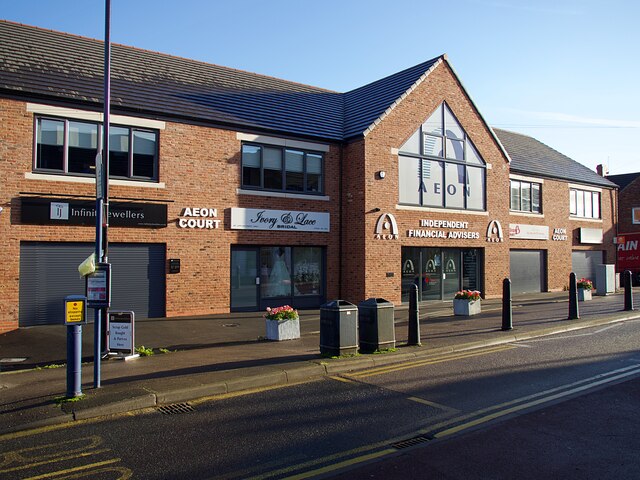
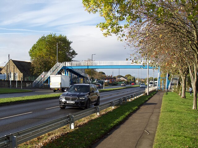
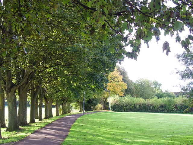
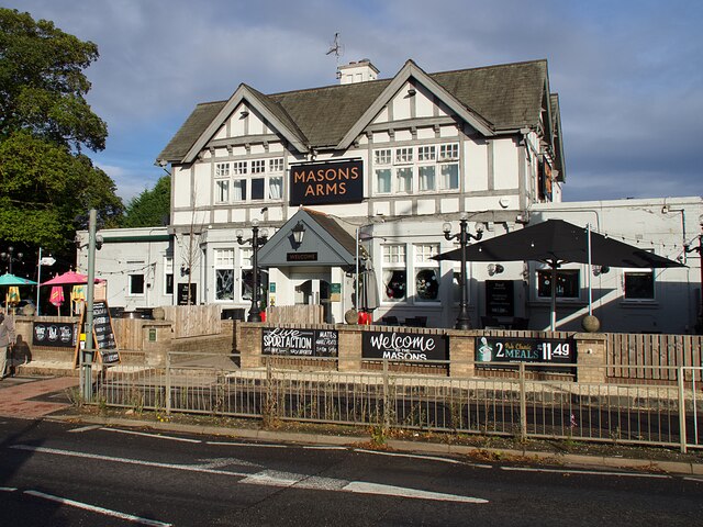
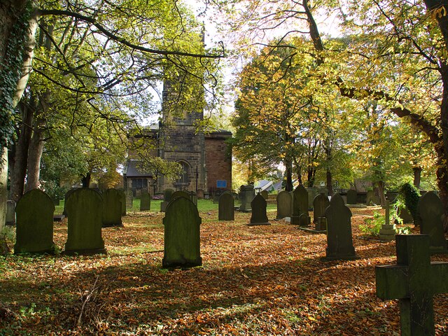
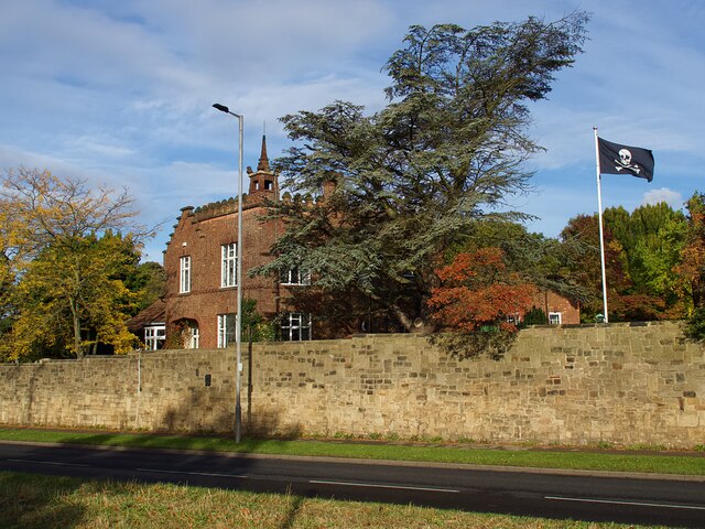
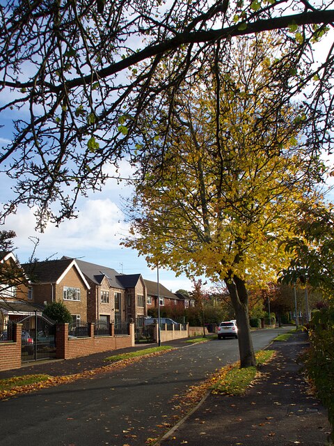
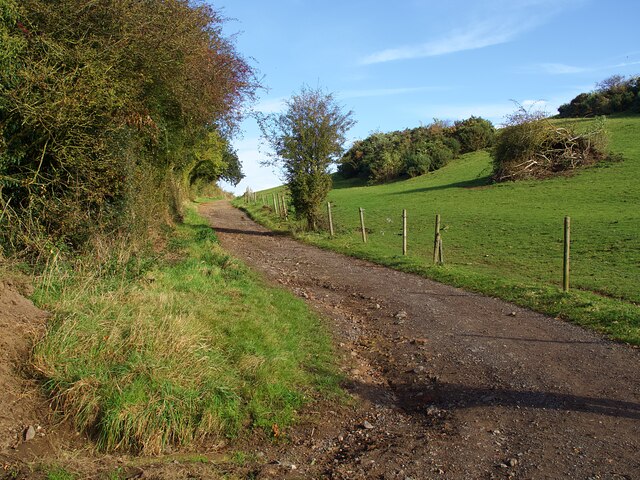
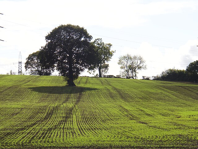
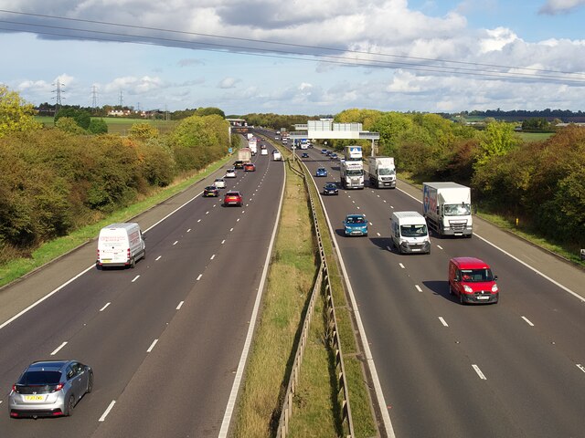
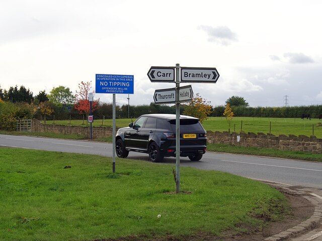
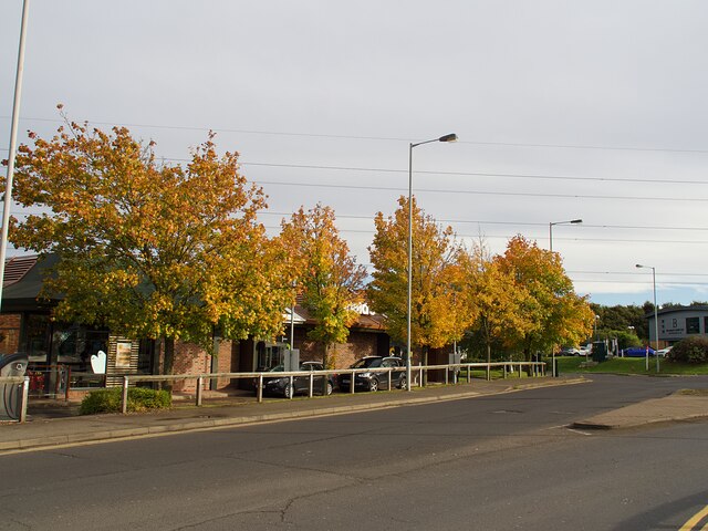
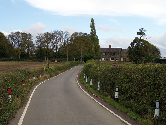
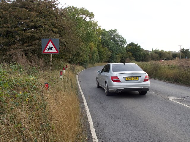
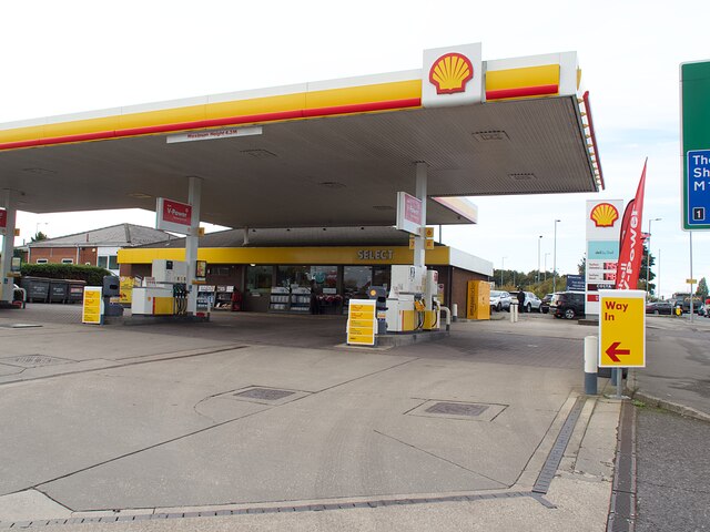
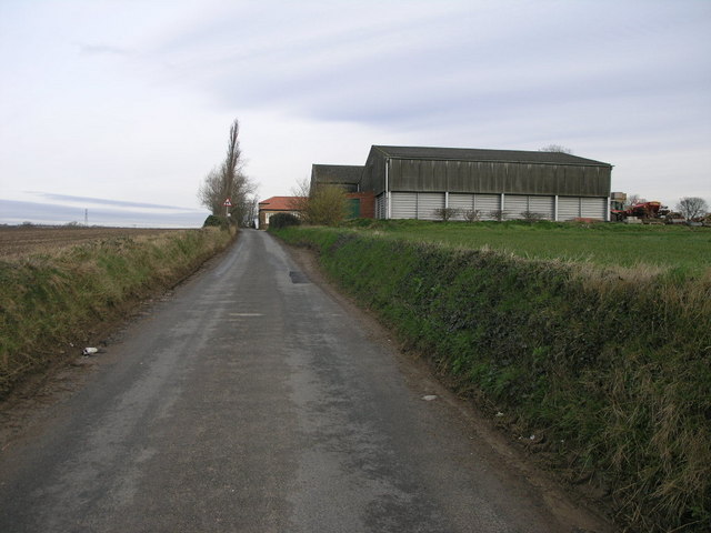
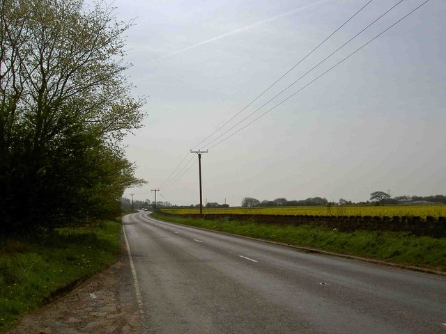
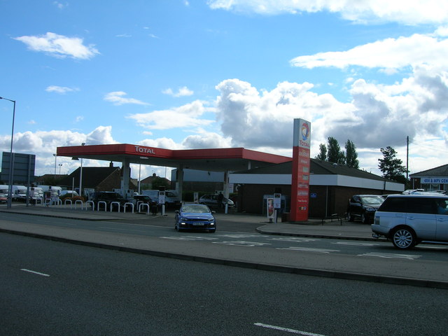
Lings Common Images

Images are sourced within 2km of 53.41885/-1.2725672 or Grid Reference SK4891. Thanks to Geograph Open Source API. All images are credited.

Aeon Court, Main Street, Bramley
Footbridge over A631 Bawtry Road Providing safe access over a busy dual carriageway road to Wickersley School and Sports College
Footbridge over A631 Bawtry Road
Providing safe access over a busy dual carriageway road to Wickersley School and Sports College
Wickersley Park A small suburban park & recreation ground.
Wickersley Park
A small suburban park & recreation ground.
The Masons Arms Judging by the window decorations on entry you should turn left for Halloween and right for Christmas!
The Masons Arms
Judging by the window decorations on entry you should turn left for Halloween and right for Christmas!
St Alban's churchyard Grade II listed parish church dating from the 15th century.
St Alban's churchyard
Grade II listed parish church dating from the 15th century.
Castle House, Bawtry Road Flying a skull & crossbones flag for some reason.
Castle House, Bawtry Road
Flying a skull & crossbones flag for some reason.
Autumnal tree on Moorlands
Sandy Flat Lane A steep climb out of the Pinch Mill Valley
Sandy Flat Lane
A steep climb out of the Pinch Mill Valley
Solitary tree in a newly sown field
The M18 Motorway near Junction 1 Looking north from a footbridge
The M18 Motorway near Junction 1
Looking north from a footbridge
Direction signs at a crossroads  Where Sandy Lane, Newhall Lane, Kingsforth Lane and Cumwell Lane meet.
Direction signs at a crossroads
Where Sandy Lane, Newhall Lane, Kingsforth Lane and Cumwell Lane meet.
Autumn colour at Macdonald's Restaurant In a small commercial development adjacent to Junction 1 on the M18.
Autumn colour at Macdonald's Restaurant
In a small commercial development adjacent to Junction 1 on the M18.
Newhall Lane Looking towards Newhall Grange
Newhall Lane
Looking towards Newhall Grange
Warning sign on Cumwell Lane
Petrol station on Bawtry Road No fuel was available at the time of this visit.
Petrol station on Bawtry Road
No fuel was available at the time of this visit.
Newhall Grange Despite the rural appearance the busy M18 is less than half a mile from this farm.
Newhall Grange
Despite the rural appearance the busy M18 is less than half a mile from this farm.
Rough lay-by on Cumwell Lane The M18 motorway junction 1 is nearby.
Rough lay-by on Cumwell Lane
The M18 motorway junction 1 is nearby.
Service station on the A631
Show me another place!

Lings Common is located at Grid Ref: SK4891 (Lat: 53.41885, Lng: -1.2725672)

Division: West Riding

Unitary Authority: Rotherham

Police Authority: South Yorkshire

What 3 Words

///voters.gave.void. Near Bramley, South Yorkshire

Related Wikis

Wickersley School and Sports College

Wickersley School and Sports College is a coeducational secondary school and sixth form with academy status, located in Wickersley in the Metropolitan...

Wickersley

Wickersley is a village and civil parish in the Metropolitan Borough of Rotherham in South Yorkshire, England, situated 3 miles (5 km) from the centre...

Bramley, Rotherham

Bramley is a village and civil parish of the Metropolitan Borough of Rotherham in South Yorkshire, England. The village is situated approximately 4 miles...

Brecks

Brecks is a suburb of Rotherham in South Yorkshire, England. It is situated roughly 2 miles from central Rotherham. Brecks borders the suburb Wickersley...

Nearby Amenities

Located within 500m of 53.41885,-1.2725672
Bawtry Road/Church Lane
Bus: yes
Public Transport: stop_position
Lat/Long: 53.4224983/-1.2705094
Barrier: bollard
Lat/Long: 53.4194988/-1.2785018
Barrier: cycle_barrier
Lat/Long: 53.4180973/-1.2734284
Barrier: kissing_gate
Bicycle: yes
Foot: yes
Lat/Long: 53.4147407/-1.2749813
Bus Stop
Morthen Road/Wood Lane
Naptan AtcoCode: 370030369
Naptan Bearing: SE
Naptan CommonName: Morthen Road/Wood Lane
Naptan Indicator: 30369
Naptan Landmark: CHURCH
Naptan PlusbusZoneRef: ROTHCEN
Naptan Street: Morthen Road
Naptan Verified: no
Source: naptan_import
Lat/Long: 53.4170538/-1.2787401
Bus Stop
Bawtry Road/Church Lane
Bus: yes
Naptan AtcoCode: 370035126
Naptan Bearing: W
Naptan CommonName: Bawtry Road/Church Lane
Naptan Indicator: 35126
Naptan Landmark: 35126
Naptan PlusbusZoneRef: ROTHCEN
Naptan Street: Bawtry Road
Naptan Verified: no
Public Transport: platform
Source: naptan_import
Lat/Long: 53.4224448/-1.2705024
Bus Stop
Bawtry Road/Plane Drive
Bus: yes
Naptan AtcoCode: 370035127
Naptan Bearing: E
Naptan CommonName: Bawtry Road/Plane Drive
Naptan Indicator: 35127
Naptan Landmark: WICKERSLEY COMPREHENSIVE SCH
Naptan PlusbusZoneRef: ROTHCEN
Naptan Street: Bawtry Road
Naptan Verified: no
Public Transport: platform
Source: naptan_import
Lat/Long: 53.4223699/-1.2749478
Bus Stop
Bawtry Road/Plane Drive
Bus: yes
Naptan AtcoCode: 370035158
Naptan Bearing: E
Naptan CommonName: Bawtry Road/Plane Drive
Naptan Indicator: 35158
Naptan Landmark: Wickersley Comprehensive Schoo
Naptan PlusbusZoneRef: ROTHCEN
Naptan Street: Bawtry Road
Naptan Verified: no
Public Transport: platform
Source: naptan_import
Lat/Long: 53.4222374/-1.273467
Bus Stop
Morthen Road/Gillott Lane
Alt Name: Morthen Road/Gillott Lane
Naptan AltCommonName: Morthen Road/Gillott Lane
Naptan AtcoCode: 370035234
Naptan Bearing: NW
Naptan CommonName: Morthen Road/Gillott Lane
Naptan Indicator: 35234
Naptan Landmark: TELEPHONE BOX
Naptan PlusbusZoneRef: ROTHCEN
Naptan Street: Morthen Road
Naptan Verified: no
Source: naptan_import
Lat/Long: 53.4165324/-1.2787339
Turning Circle
Lat/Long: 53.4225422/-1.2741059
Crossing
Crossing: unmarked
Crossing Island: no
Tactile Paving: yes
Lat/Long: 53.4221814/-1.2728208
Post Box
Collection Times: Mo-Fr 09:00; Sa 07:00
Post Box Type: lamp
Ref: S66 223D
Royal Cypher: EIIR
Royal Cypher Wikidata: Q33102113
Lat/Long: 53.4169052/-1.2786683
Hair@Sorbys
Shop: hairdresser
Lat/Long: 53.417634/-1.2794922
Bawtry Road/Plane Drive
Bus: yes
Public Transport: stop_position
Lat/Long: 53.4222831/-1.2749416
Bawtry Road/Plane Drive
Bus: yes
Public Transport: stop_position
Lat/Long: 53.4222977/-1.273477
Post Box
Collection Times: Mo-Fr 09:00; Sa 07:00
Post Box Type: pillar
Ref: S66 120
Royal Cypher: EIIR
Royal Cypher Wikidata: Q33102113
Lat/Long: 53.4196552/-1.2759354
Bench
Backrest: yes
Lat/Long: 53.4161842/-1.2693787
Bench
Backrest: no
Lat/Long: 53.4153543/-1.2720463
Bench
Backrest: no
Lat/Long: 53.4149699/-1.2729596
Burrows (Rotherham)
Brand: Toyota
Shop: car;car_repair
Lat/Long: 53.4224884/-1.2768942
Crossing
Crossing: unmarked
Crossing Island: no
Tactile Paving: no
Lat/Long: 53.422731/-1.2701942
Crossing
Crossing: unmarked
Crossing Island: yes
Lat/Long: 53.4225252/-1.2701552
Crossing
Crossing: unmarked
Crossing Island: yes
Lat/Long: 53.4226375/-1.2701765
Traffic Signals
Traffic Signals: signal
Lat/Long: 53.4226788/-1.2689571
Give Way
Lat/Long: 53.4219553/-1.2768491
Crossing
Crossing: unmarked
Crossing Island: no
Tactile Paving: yes
Lat/Long: 53.422149/-1.2737231
Crossing
Crossing: unmarked
Crossing Island: no
Kerb: normal
Tactile Paving: no
Lat/Long: 53.4226574/-1.2718997
Turning Circle
Lat/Long: 53.4227508/-1.2719657
Barrier: kerb
Lat/Long: 53.4226446/-1.2719191
Barrier: kerb
Lat/Long: 53.4226699/-1.2718808
Traffic Signals
Traffic Signals: signal
Lat/Long: 53.4227109/-1.2693324
Crossing
Crossing: unmarked
Crossing Island: no
Tactile Paving: no
Lat/Long: 53.4228167/-1.2692924
Crossing
Crossing: unmarked
Crossing Island: no
Tactile Paving: no
Lat/Long: 53.4228231/-1.2692247
Barrier: kerb
Lat/Long: 53.4227702/-1.2699282
Barrier: kerb
Lat/Long: 53.4229193/-1.2696677
Crossing
Crossing: unmarked
Crossing Island: no
Tactile Paving: no
Lat/Long: 53.422569/-1.2685498
Crossing
Crossing: unmarked
Crossing Island: no
Tactile Paving: no
Lat/Long: 53.4223687/-1.2711078
Crossing
Crossing: unmarked
Crossing Island: no
Tactile Paving: yes
Lat/Long: 53.4225348/-1.2754508
Defibrillator
Access: yes
Defibrillator Location: On the outside wall of the car dealership.
Emergency: defibrillator
Indoor: no
Ref GB The Circuit: 1E7235AE-C6AD-4ED2-A8FF-AF4E00906262
Lat/Long: 53.4223645/-1.2766755
The data included in this document is from www.openstreetmap.org. The data is made available under ODbL.

Have you been to Lings Common?

Leave your review of Lings Common below (or comments, questions and feedback).