Lings
Settlement in Northamptonshire
England
Lings
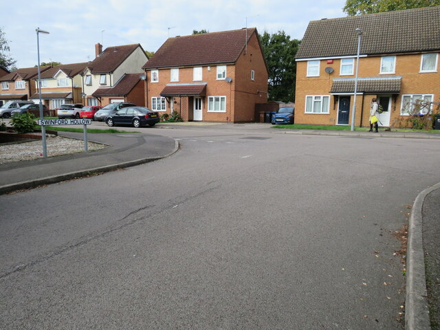
Lings is a residential area located in Northamptonshire, England. It is situated to the east of Northampton town center and is known for its quiet and family-friendly atmosphere. The area is mainly made up of housing estates, with a mix of detached and semi-detached houses, as well as some apartment buildings.
Lings is well-served by amenities, with a local shopping center providing residents with access to a range of shops, including a supermarket, pharmacy, and various small businesses. There are also several schools in the area, making it a popular choice for families.
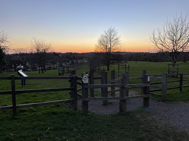
For those who enjoy outdoor activities, Lings is close to several green spaces, including Lings Wood Nature Reserve and Eastfield Park. These areas offer opportunities for walking, cycling, and enjoying nature.
Overall, Lings is a peaceful and well-connected area that offers a high quality of life for its residents. With its convenient amenities and proximity to Northampton town center, it is a popular choice for those looking to settle down in the Northamptonshire area.
If you have any feedback on the listing, please let us know in the comments section below.
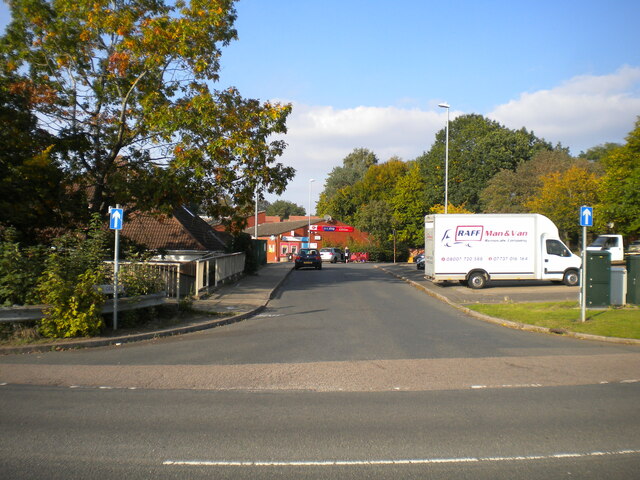
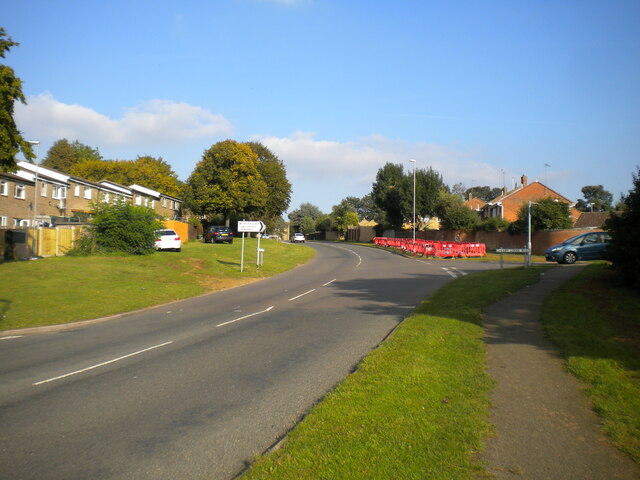
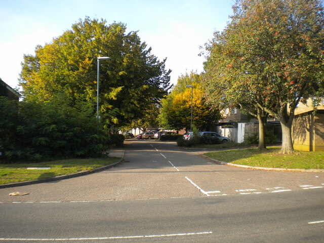
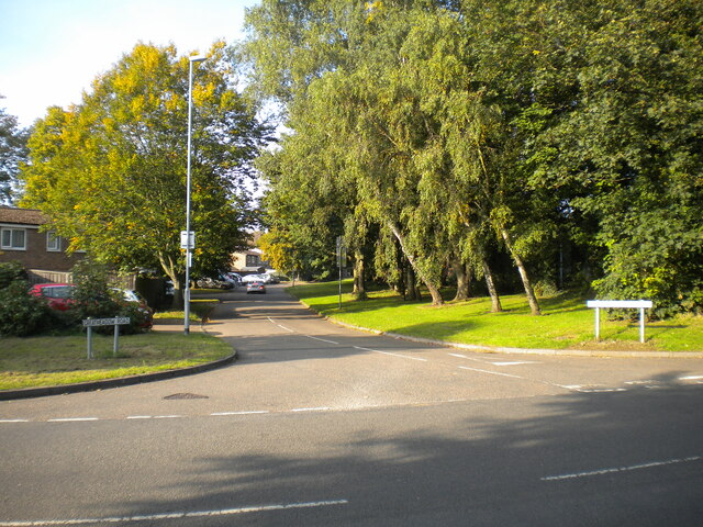
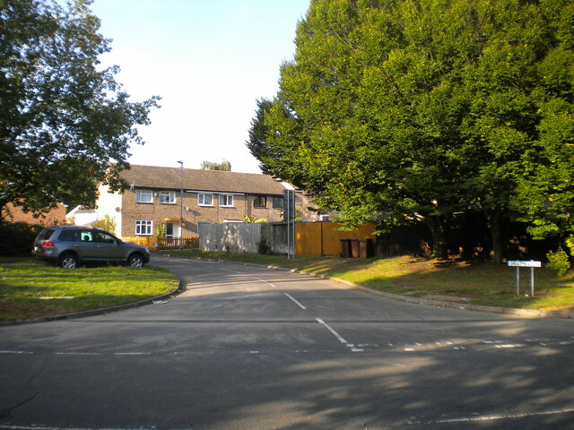
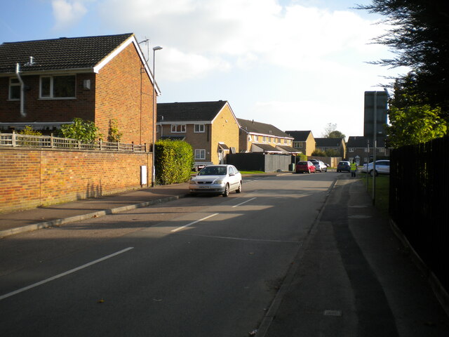
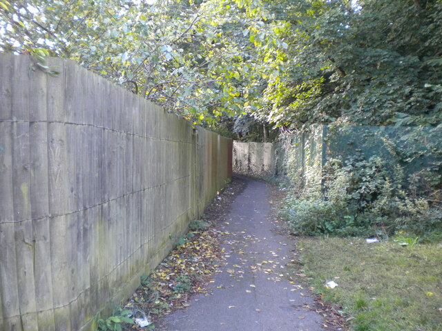
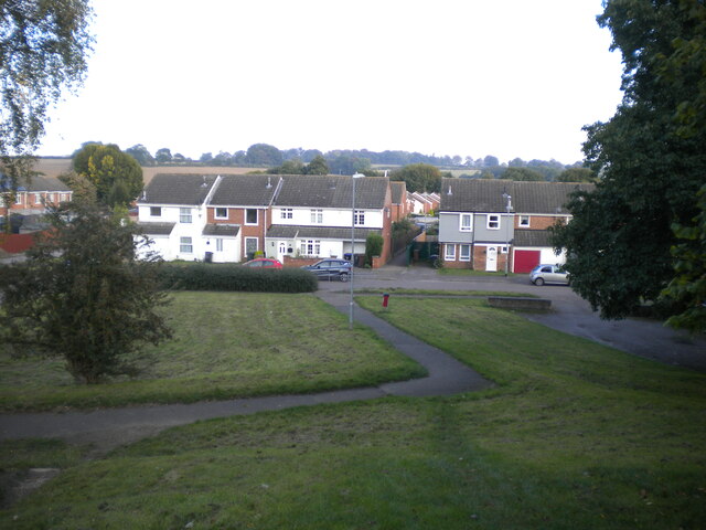
Lings Images
Images are sourced within 2km of 52.262968/-0.83408152 or Grid Reference SP7963. Thanks to Geograph Open Source API. All images are credited.


Lings is located at Grid Ref: SP7963 (Lat: 52.262968, Lng: -0.83408152)
Unitary Authority: West Northamptonshire
Police Authority: Northamptonshire
What 3 Words
///feast.wins.silent. Near Northampton, Northamptonshire
Nearby Locations
Related Wikis
Chartered Association of Building Engineers
Chartered Association of Building Engineers (CABE) is a professional body for building engineers in the United Kingdom and overseas. == History == Chartered...

Northampton Academy
Northampton Academy is a mixed secondary school and sixth form in Northampton, Northamptonshire for students aged 11 to 18. Since September 2004, it has...
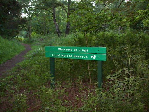
Lings Wood Nature Reserve
Lings Wood is a 20.1 hectare Local Nature Reserve in eastern Northampton. It is owned by Northampton Borough Council and managed by the Wildlife Trust...
Lings Forum
Lings Forum is a leisure centre located in the suburbs of Northampton, England. It is annexed to Weston Favell Shopping Centre and Northampton Academy...
Nearby Amenities
Located within 500m of 52.262968,-0.83408152Have you been to Lings?
Leave your review of Lings below (or comments, questions and feedback).