Lingland

Settlement in Caithness

Scotland

Lingland

Upper Lybster West An inhabited croft with splendid views south.
Upper Lybster West Credit: Glen Breaden

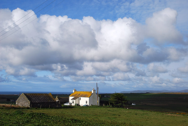
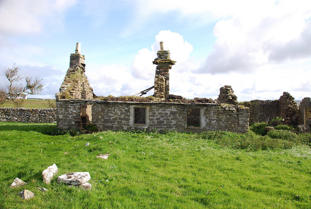
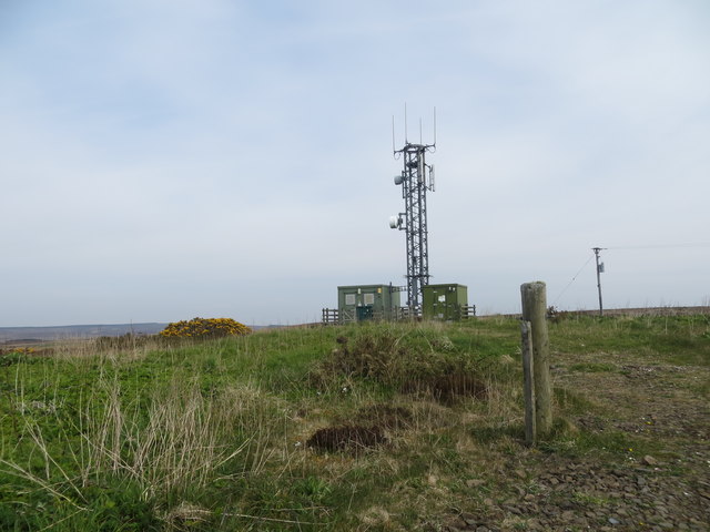
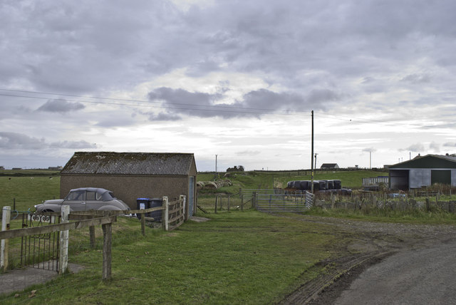
Lingland is a small rural settlement located in the county of Caithness in the north of Scotland. Situated near the coast, Lingland is known for its picturesque countryside views and tranquil atmosphere. The area is characterized by rolling hills, lush green fields, and scattered farmhouses.

The community of Lingland is tight-knit and close, with a population of around 200 residents. The main industry in the area is agriculture, with many locals involved in farming and livestock rearing. There are also a few small businesses in the area, including a local pub and a small grocery store.

Lingland is surrounded by natural beauty, with several walking trails and hiking paths for outdoor enthusiasts to explore. The nearby coastline offers stunning views of the North Sea, and visitors can often spot seals and seabirds along the shore.

Overall, Lingland is a peaceful and idyllic village, perfect for those looking to escape the hustle and bustle of city life and enjoy the beauty of the Scottish countryside.

If you have any feedback on the listing, please let us know in the comments section below.
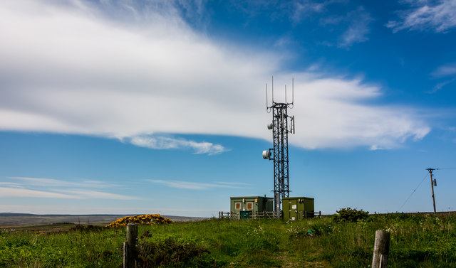
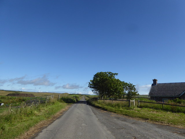
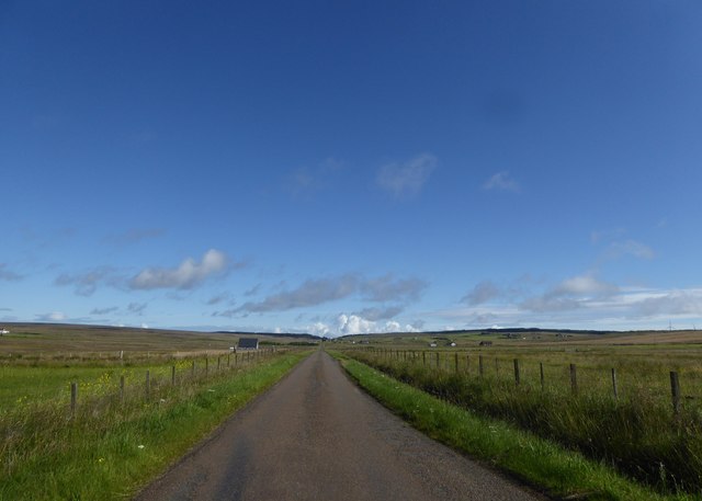
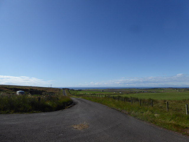
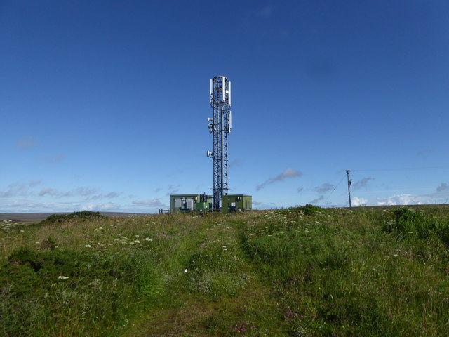
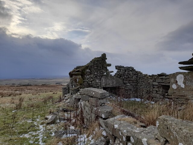
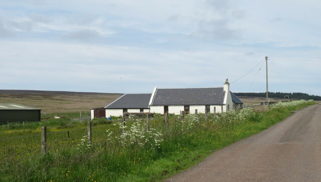
Lingland Images

Images are sourced within 2km of 58.324153/-3.2607442 or Grid Reference ND2637. Thanks to Geograph Open Source API. All images are credited.

Upper Lybster West An inhabited croft with splendid views south.
Upper Lybster West
An inhabited croft with splendid views south.
Upper Lybster Typical of the many abandoned and ruined croft houses of Caithness.
Upper Lybster
Typical of the many abandoned and ruined croft houses of Caithness.
Telecom mast near Mid Clyth
Remains of Wick and Lybster Light Railway The site of Occumster station on the short lived Wick and Lybster Light railway, opened 1903 and closed 1944.
Remains of Wick and Lybster Light Railway
The site of Occumster station on the short lived Wick and Lybster Light railway, opened 1903 and closed 1944.
Occumster railway station (site), Highland Opened in 1903 by the Wick & Lybster Light Railway, this station closed to passengers in 1944. 
View north from the road. The old stationmaster's house is to the left, the unwrapped hay bales are on the old trackbed and the platforms were on the extreme right.
Occumster railway station (site), Highland
Opened in 1903 by the Wick & Lybster Light Railway, this station closed to passengers in 1944. View north from the road. The old stationmaster's house is to the left, the unwrapped hay bales are on the old trackbed and the platforms were on the extreme right.
Approaching the A99 from Hillhead, Lybster
Lybster Fundamental Benchmark Easy find in field beside broken hotel sign.
Lybster Fundamental Benchmark
Easy find in field beside broken hotel sign.
Mast on Hill of Clyth
Country north of Lybster
Minor road at Occumster Here the road from Occumster to Watten crosses the line of the former Wick and Lybster Light Railway.
Minor road at Occumster
Here the road from Occumster to Watten crosses the line of the former Wick and Lybster Light Railway.
Minor road near Laid
Minor road near Clyth
Telecommunications mast, Clyth
Spion Kop From The Book of Lybster: 'ruins of croft house on the crest of the high ground above Clais-na-canaich. Home of Geordie Mackay who is believed to have been a soldier in the Boer War and named his croft to commemorate that high feature of the war'.
Spion Kop
From The Book of Lybster: 'ruins of croft house on the crest of the high ground above Clais-na-canaich. Home of Geordie Mackay who is believed to have been a soldier in the Boer War and named his croft to commemorate that high feature of the war'.
Cottage at Roster Following a lengthy drive south along back roads through largely uninhabited territory, the scattered community at Roster appears as a sign of civilisation.
Cottage at Roster
Following a lengthy drive south along back roads through largely uninhabited territory, the scattered community at Roster appears as a sign of civilisation.
House Sign at Newlands of Clyth By the single track road.
House Sign at Newlands of Clyth
By the single track road.
A99 (Quatre Bras) near Lybster The A99 follows the east coast of Caithness from Latheron, where it leaves the A9, though the town of Wick to John o' Groats at the north-east corner of the Highlands. The road is a trunk road between Latheron and Wick. It was part of the A9 until 1997, when the A9 was re-routed along what had been the A895-A882 link between Latheron and Thurso.

The A99 forms part of the North Coast 500 (NC500) which was launched in 2015. NC500 is a 516-mile scenic route around the north coast of Scotland, starting and ending at Inverness Castle,
A99 (Quatre Bras) near Lybster
The A99 follows the east coast of Caithness from Latheron, where it leaves the A9, though the town of Wick to John o' Groats at the north-east corner of the Highlands. The road is a trunk road between Latheron and Wick. It was part of the A9 until 1997, when the A9 was re-routed along what had been the A895-A882 link between Latheron and Thurso. The A99 forms part of the North Coast 500 (NC500) which was launched in 2015. NC500 is a 516-mile scenic route around the north coast of Scotland, starting and ending at Inverness Castle,
Bus Stop on the A99 near to Occumster The A99 follows the east coast of Caithness from Latheron, where it leaves the A9, though the town of Wick to John o' Groats at the north-east corner of the Highlands. The road is a trunk road between Latheron and Wick. It was part of the A9 until 1997, when the A9 was re-routed along what had been the A895-A882 link between Latheron and Thurso.

The A99 forms part of the North Coast 500 (NC500) which was launched in 2015. NC500 is a 516-mile scenic route around the north coast of Scotland, starting and ending at Inverness Castle,
Bus Stop on the A99 near to Occumster
The A99 follows the east coast of Caithness from Latheron, where it leaves the A9, though the town of Wick to John o' Groats at the north-east corner of the Highlands. The road is a trunk road between Latheron and Wick. It was part of the A9 until 1997, when the A9 was re-routed along what had been the A895-A882 link between Latheron and Thurso. The A99 forms part of the North Coast 500 (NC500) which was launched in 2015. NC500 is a 516-mile scenic route around the north coast of Scotland, starting and ending at Inverness Castle,
Show me another place!

Lingland is located at Grid Ref: ND2637 (Lat: 58.324153, Lng: -3.2607442)

Unitary Authority: Highland

Police Authority: Highlands and Islands

What 3 Words

///traded.unfolds.midwinter. Near Dunbeath, Highland

Related Wikis

Upper Lybster

Upper Lybster is a scattered and crofting village, situated 2 miles north of Lybster, in eastern Caithness, Scottish Highlands and is in the Scottish council...

Roster, Caithness

Roster is a remote scattered crofting township, in Caithness, Scottish Highlands and is in the Scottish council area of Highland. Roster is located 2 miles...

Occumster railway station

Occumster was a railway station located between Wick and Lybster, Highland. == History == The station was opened as part of the Wick and Lybster Railway...

Parkside Halt railway station

Parkside Halt was a railway station located between Ulbster and Lybster, Highland. == History == The station was opened on the Wick and Lybster Railway...

Have you been to Lingland?

Leave your review of Lingland below (or comments, questions and feedback).