Achavar

Settlement in Caithness

Scotland

Achavar

MOD Leftovers Caithness is littered with reminders of the Second World War.  Its proximity to Scapa Flow meant that there was much activity in this area.
MOD Leftovers Credit: Glen Breaden

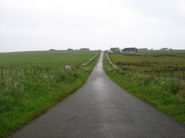
Achavar is a small rural settlement located in the county of Caithness, in the northernmost part of Scotland. Situated approximately 6 miles northwest of the town of Thurso, Achavar is nestled amidst the picturesque countryside, surrounded by rolling hills and vast open landscapes.

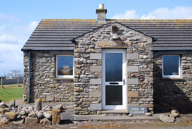
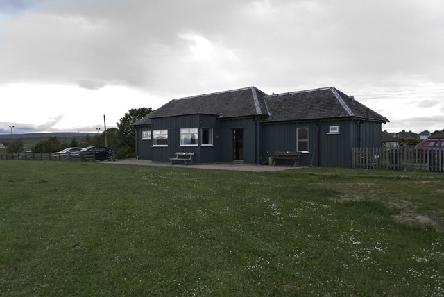
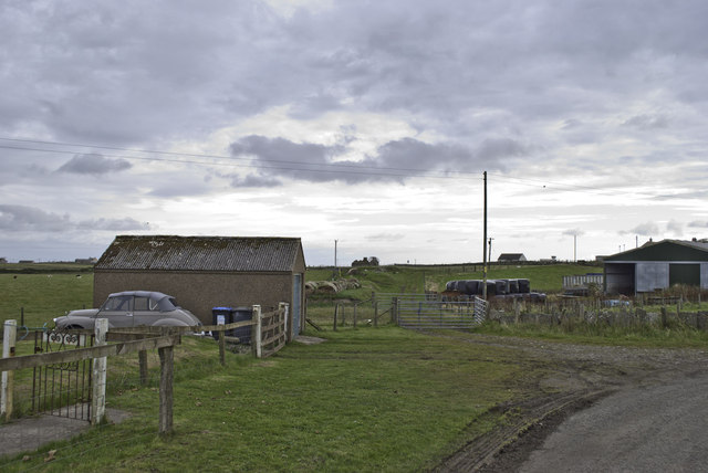
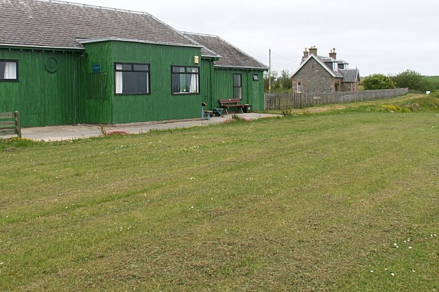
The village itself consists of a few scattered houses and cottages, giving it a tranquil and secluded atmosphere. With a population of around 100 residents, Achavar is a close-knit community where neighbors often know each other by name. The area is primarily agricultural, with farms and fields dominating the surrounding scenery.

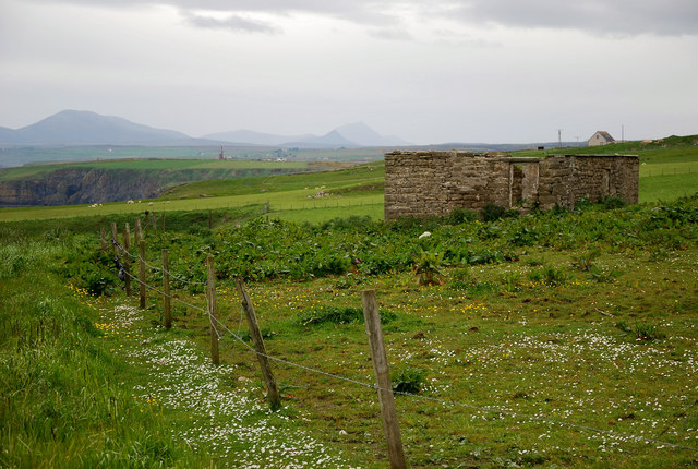
Despite its small size, Achavar boasts a rich history that dates back centuries. The region has been inhabited since ancient times, and evidence of early settlements can still be found in the form of archaeological sites nearby. The village is also known for its connection to the Viking era, with several Norse artifacts discovered in the vicinity.

Nature lovers and outdoor enthusiasts are drawn to Achavar for its breathtaking natural beauty. The area offers ample opportunities for hiking, cycling, and wildlife spotting, making it a popular destination for those seeking a peaceful retreat. Additionally, Achavar is known for its dark skies, providing a perfect setting for stargazing and astronomy enthusiasts.

While Achavar may be small in size, it offers a serene and idyllic lifestyle for those seeking a rural escape in the stunning region of Caithness.

If you have any feedback on the listing, please let us know in the comments section below.
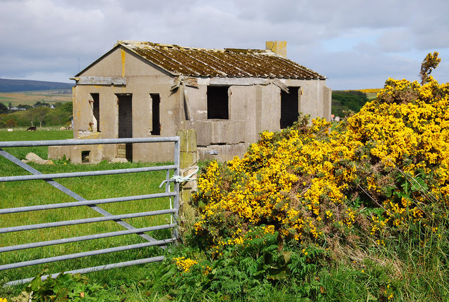
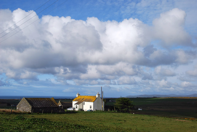
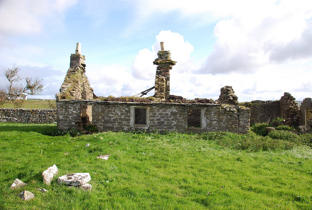
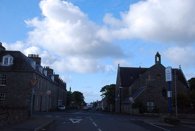
Achavar Images

Images are sourced within 2km of 58.315942/-3.259991 or Grid Reference ND2637. Thanks to Geograph Open Source API. All images are credited.

MOD Leftovers Caithness is littered with reminders of the Second World War.  Its proximity to Scapa Flow meant that there was much activity in this area.
MOD Leftovers
Caithness is littered with reminders of the Second World War. Its proximity to Scapa Flow meant that there was much activity in this area.
Upper Lybster West An inhabited croft with splendid views south.
Upper Lybster West
An inhabited croft with splendid views south.
Upper Lybster Typical of the many abandoned and ruined croft houses of Caithness.
Upper Lybster
Typical of the many abandoned and ruined croft houses of Caithness.
Quatre Bras From Norland Road Lybster's main road junction with the A99 has a French connection.
Quatre Bras
From Norland Road Lybster's main road junction with the A99 has a French connection.
Occumster Ruin High above the cliffs of Ceann Hilligeo is Occumster, the home of the Caithness Cheese Company. The ruined croft building has wonderful views towards sea and hill with the Caithness hills in the distance.
Occumster Ruin
High above the cliffs of Ceann Hilligeo is Occumster, the home of the Caithness Cheese Company. The ruined croft building has wonderful views towards sea and hill with the Caithness hills in the distance.
The Stonemason's House The mason showing off his work to advantage with the fine work on the walls.
The Stonemason's House
The mason showing off his work to advantage with the fine work on the walls.
Lybster Station Now the clubhouse for Lybster Golf Course, this was originally the end of the line of the short lived Lybster and Wick Light Railway, opened 1903 and closed 1944. Within are photos of the old station.
Lybster Station
Now the clubhouse for Lybster Golf Course, this was originally the end of the line of the short lived Lybster and Wick Light Railway, opened 1903 and closed 1944. Within are photos of the old station.
Remains of Wick and Lybster Light Railway The site of Occumster station on the short lived Wick and Lybster Light railway, opened 1903 and closed 1944.
Remains of Wick and Lybster Light Railway
The site of Occumster station on the short lived Wick and Lybster Light railway, opened 1903 and closed 1944.
Clyth Mains - 1973 Looking southwest along the A99 towards Lybster. Morven, Scaraben and the coast around Berriedale [?] are visible in the distance about 30km away. Google Street View imagery from 2008 shows that there has not been much change in the intervening 34 years - the drystone wall at the left has been replaced, and white lines have appeared at the road edge. Also it is likely that the three corn stacks seen in the yard to the left of the cottage are a thing of the past. Thanks to Karen Messruther, whose 'Highland Insider' website  <span class="nowrap"><a title="http://www.highland-insider.co.uk/2012/08/the-big-skies-and-old-stories-of-caithness/" rel="nofollow ugc noopener" href="http://www.highland-insider.co.uk/2012/08/the-big-skies-and-old-stories-of-caithness/">Link</a><img style="margin-left:2px;" alt="External link" title="External link - shift click to open in new window" src="https://s1.geograph.org.uk/img/external.png" width="10" height="10"/></span> gave me a clue to where I'd taken the photo.
Clyth Mains - 1973
Looking southwest along the A99 towards Lybster. Morven, Scaraben and the coast around Berriedale [?] are visible in the distance about 30km away. Google Street View imagery from 2008 shows that there has not been much change in the intervening 34 years - the drystone wall at the left has been replaced, and white lines have appeared at the road edge. Also it is likely that the three corn stacks seen in the yard to the left of the cottage are a thing of the past. Thanks to Karen Messruther, whose 'Highland Insider' website LinkExternal link gave me a clue to where I'd taken the photo.
The Portland Arms Hotel, Lybster
Car parking and recycling point, Lybster Off Village Road.
Car parking and recycling point, Lybster
Off Village Road.
The Church of Scotland, Parish of Latheron,  Lybster
The Church of Scotland, Parish of Latheron, Lybster
The Portland Arms Hotel, Lybster
Occumster railway station (site), Highland Opened in 1903 by the Wick & Lybster Light Railway, this station closed to passengers in 1944. 
View north from the road. The old stationmaster's house is to the left, the unwrapped hay bales are on the old trackbed and the platforms were on the extreme right.
Occumster railway station (site), Highland
Opened in 1903 by the Wick & Lybster Light Railway, this station closed to passengers in 1944. View north from the road. The old stationmaster's house is to the left, the unwrapped hay bales are on the old trackbed and the platforms were on the extreme right.
Lybster railway station (site), Highland Opened in 1903 by the Wick & Lybster Light Railway as its southern terminus, this station closed to passengers in 1944. 
View north east from near where the buffers were located. The single platform was located just in front of the green building and the railway ran parallel to the fence.
Lybster railway station (site), Highland
Opened in 1903 by the Wick & Lybster Light Railway as its southern terminus, this station closed to passengers in 1944. View north east from near where the buffers were located. The single platform was located just in front of the green building and the railway ran parallel to the fence.
Lybster church This is the Church of Scotland church.
Lybster church
This is the Church of Scotland church.
The lane to Hillhead, Lybster Not, one feels, a major hill. But such things are always relative!
The lane to Hillhead, Lybster
Not, one feels, a major hill. But such things are always relative!
Approaching the A99 from Hillhead, Lybster
Show me another place!

Achavar is located at Grid Ref: ND2637 (Lat: 58.315942, Lng: -3.259991)

Unitary Authority: Highland

Police Authority: Highlands and Islands

What 3 Words

///runways.rivers.utensil. Near Dunbeath, Highland

Related Wikis

Occumster railway station

Occumster was a railway station located between Wick and Lybster, Highland. == History == The station was opened as part of the Wick and Lybster Railway...

Parkside Halt railway station

Parkside Halt was a railway station located between Ulbster and Lybster, Highland. == History == The station was opened on the Wick and Lybster Railway...

Upper Lybster

Upper Lybster is a scattered and crofting village, situated 2 miles north of Lybster, in eastern Caithness, Scottish Highlands and is in the Scottish council...

Lybster railway station

Lybster was a railway station located on the Wick and Lybster Railway in the Highland area of Scotland. The station building now serves as the clubhouse...

Nearby Amenities

Located within 500m of 58.315942,-3.259991
The data included in this document is from www.openstreetmap.org. The data is made available under ODbL.

Have you been to Achavar?

Leave your review of Achavar below (or comments, questions and feedback).