Achavanich
Settlement in Caithness
Scotland
Achavanich

Achavanich is a small rural area located in the county of Caithness, in the northernmost part of mainland Scotland. Situated about 4 miles southeast of the town of Halkirk, Achavanich is known for its stunning natural beauty and rich historical significance.
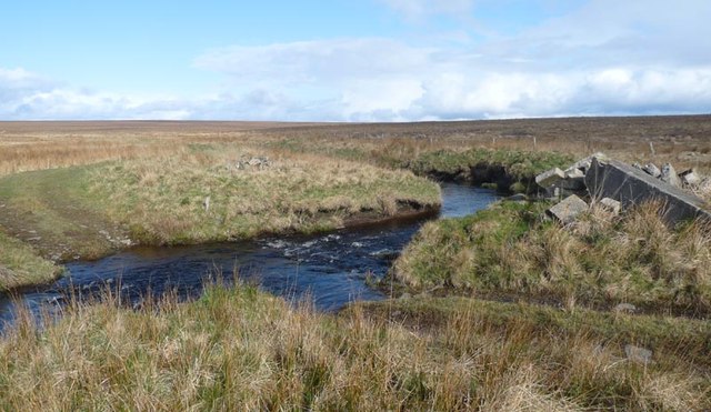
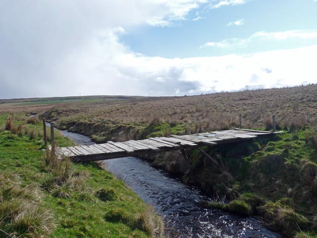
The area is characterized by rolling hills, picturesque lochs, and vast open landscapes, making it a popular destination for nature enthusiasts and outdoor activities such as hiking and birdwatching. The nearby Loch Stemster offers opportunities for fishing and boating.
One of the prominent features of Achavanich is the Achavanich Standing Stones, a prehistoric monument consisting of four large stones arranged in a rectangular pattern. These stones are believed to date back to the Neolithic era, around 4,000 to 5,000 years ago, and have attracted archaeologists and historians from around the world.
In addition to its ancient history, Achavanich is also home to a small community of residents who enjoy a peaceful and close-knit lifestyle. Although amenities are limited, the town of Halkirk provides nearby access to shops, schools, and other services.
Overall, Achavanich offers a unique blend of natural beauty, archaeological significance, and a tranquil rural lifestyle, making it an attractive destination for those seeking a peaceful retreat or an opportunity to delve into Scotland's ancient past.
If you have any feedback on the listing, please let us know in the comments section below.
Achavanich Images
Images are sourced within 2km of 58.36463/-3.4038242 or Grid Reference ND1742. Thanks to Geograph Open Source API. All images are credited.


Achavanich is located at Grid Ref: ND1742 (Lat: 58.36463, Lng: -3.4038242)
Unitary Authority: Highland
Police Authority: Highlands and Islands
What 3 Words
///case.slogged.remaining. Near Dunbeath, Highland
Nearby Locations
Related Wikis

Achavanich
Achavanich ( ak-ə-VAN-ik; Scottish Gaelic: Achadh a’ Mhanaich) is an unusual megalithic horseshoe-shaped structure near Loch Stemster in Caithness, Scotland...

Rumster Forest transmitting station
The Rumster Forest transmitting station is a broadcasting and telecommunications facility near the town of Wick, in Caithness, Scotland (grid reference...

Houstry
Houstry is a scattered crofting village, in the east coast of Dunbeath, Caithness, Scottish Highlands and is in the Scottish council area of Highland.A...

Caithness
Caithness (Scottish Gaelic: Gallaibh [ˈkal̪ˠɪv]; Scots: Caitnes; Old Norse: Katanes) is a historic county, registration county and lieutenancy area of...
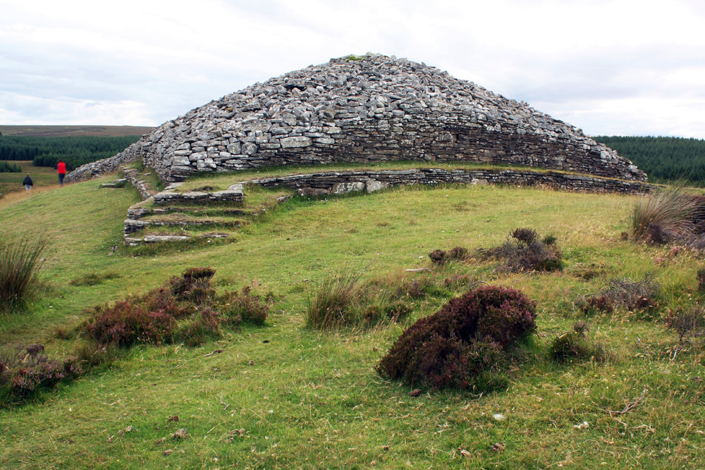
Grey Cairns of Camster
The Grey Cairns of Camster are two large Neolithic chambered cairns located about 8+1⁄2 miles (14 kilometres) south of Watten and 5 miles (8 km) north...

Upper Camster
Upper Camster is a small hamlet, which lies at the source of the Camster Burn, 4 miles north of Lybster, in Caithness, Scottish Highlands and is in the...
Upper Lybster
Upper Lybster is a scattered and crofting village, situated 2 miles north of Lybster, in eastern Caithness, Scottish Highlands and is in the Scottish council...

Tormsdale
Tormsdale is a megalithic site on the banks of the River Thurso, in Caithness, Scotland. It is 3 kilometres (1.9 mi) south of Westerdale. The site consists...
Nearby Amenities
Located within 500m of 58.36463,-3.4038242Have you been to Achavanich?
Leave your review of Achavanich below (or comments, questions and feedback).