Achastle
Settlement in Caithness
Scotland
Achastle
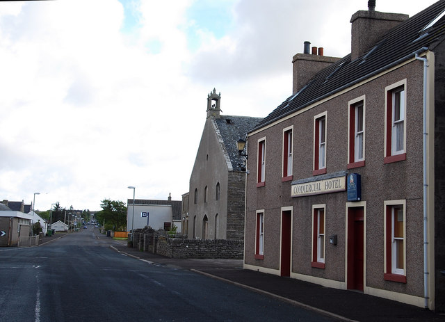
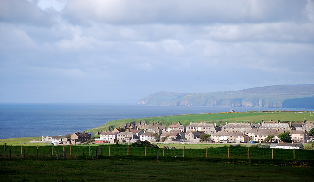
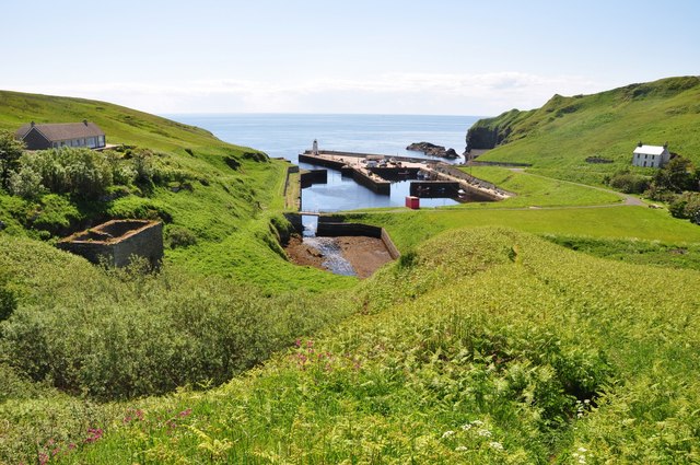
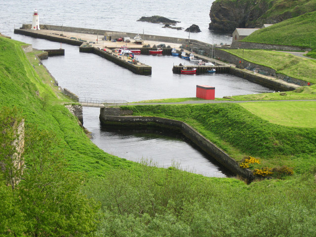
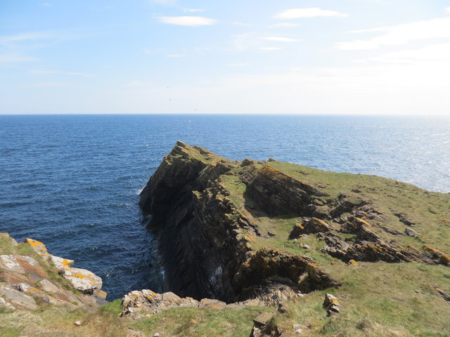
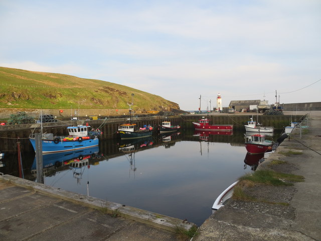
Achastle is a small village located in the county of Caithness, in the northernmost part of Scotland. Situated near the coast, the village offers picturesque views of the North Sea and the surrounding countryside. With a population of around 200 residents, Achastle exudes a close-knit community atmosphere.
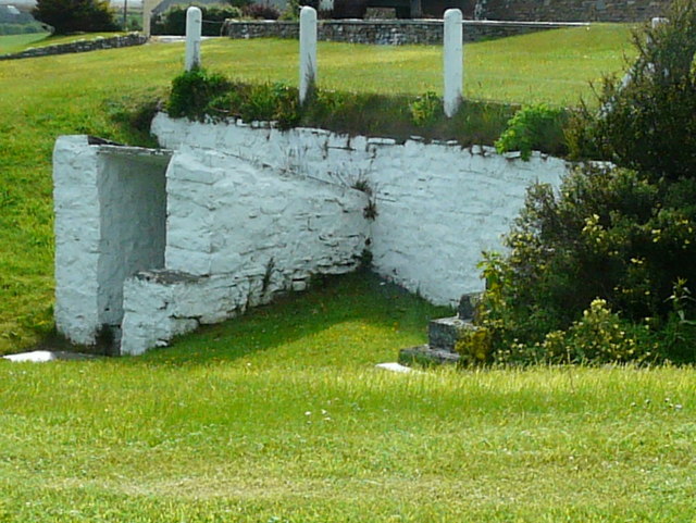
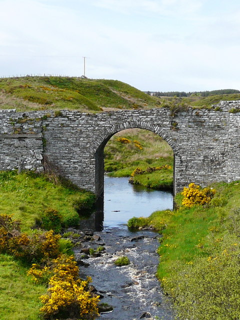
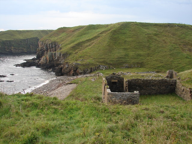
The village is known for its rich history, dating back to the 12th century. It was once a prominent settlement during the Norse period, serving as a strategic location for trade and defense. Today, remnants of this past can still be seen in the form of ancient ruins and archaeological sites scattered throughout the area.
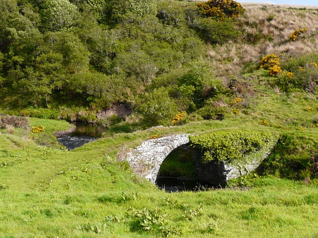
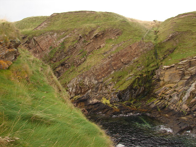
Achastle is blessed with natural beauty, with rolling hills and lush green landscapes. It is a haven for outdoor enthusiasts, offering numerous walking trails and hiking opportunities. The nearby Achastle Forest is particularly popular among nature lovers, boasting a diverse range of flora and fauna.
Although small in size, the village provides essential amenities for its residents, including a post office, a local shop, and a primary school. The community is vibrant and tight-knit, often organizing events and festivals to celebrate local traditions and culture.
For those seeking a tranquil escape from the bustling city life, Achastle offers a peaceful retreat surrounded by stunning natural scenery and a rich historical heritage.
If you have any feedback on the listing, please let us know in the comments section below.
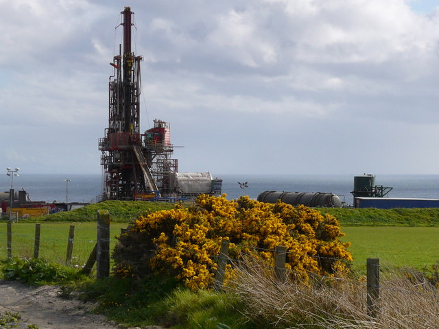
Achastle Images
Images are sourced within 2km of 58.29336/-3.3118322 or Grid Reference ND2334. Thanks to Geograph Open Source API. All images are credited.


Achastle is located at Grid Ref: ND2334 (Lat: 58.29336, Lng: -3.3118322)
Unitary Authority: Highland
Police Authority: Highlands and Islands
What 3 Words
///sunbeam.tinted.staple. Near Dunbeath, Highland
Nearby Locations
Related Wikis
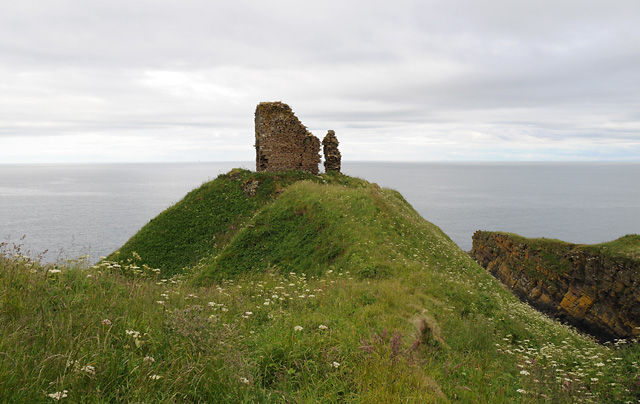
Forse Castle
Forse Castle is a ruined building dating from 1200 in the hamlet of Forse in the Caithness region in the Scottish council area of Highland. It is protected...

Swiney
Swiney is a small village on the east coast of Scotland, 1 mile west of Lybster along the A99 road, in Caithness, Scottish Highlands and is in the Scottish...

Lybster
Lybster (, Scottish Gaelic: Liabost) is a village on the east coast of Caithness in northern Scotland. It was once a big herring fishing port. The Waterlines...
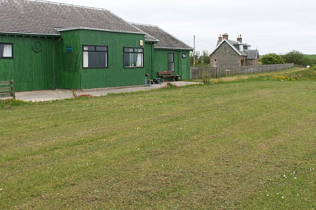
Lybster railway station
Lybster was a railway station located on the Wick and Lybster Railway in the Highland area of Scotland. The station building now serves as the clubhouse...
Parkside Halt railway station
Parkside Halt was a railway station located between Ulbster and Lybster, Highland. == History == The station was opened on the Wick and Lybster Railway...
Upper Lybster
Upper Lybster is a scattered and crofting village, situated 2 miles north of Lybster, in eastern Caithness, Scottish Highlands and is in the Scottish council...

Occumster railway station
Occumster was a railway station located between Wick and Lybster, Highland. == History == The station was opened as part of the Wick and Lybster Railway...
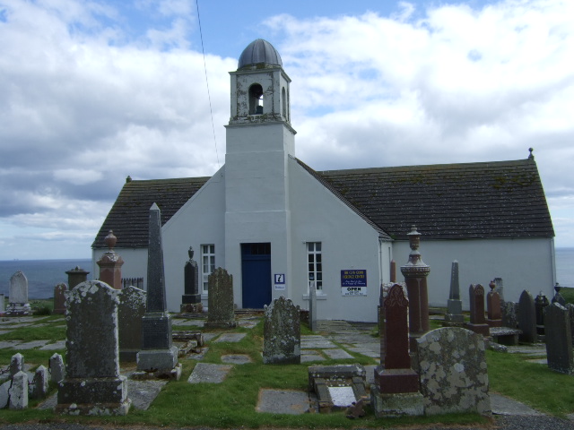
Latheron
Latheron (from Scottish Gaelic Latharn 'muddy place') is a small village and civil parish in Caithness, in the Highland area of Scotland, centred on the...
Nearby Amenities
Located within 500m of 58.29336,-3.3118322Have you been to Achastle?
Leave your review of Achastle below (or comments, questions and feedback).