Achany

Settlement in Sutherland

Scotland

Achany

River Shin in Achany Glen, Sutherland Part of the River Shin, as seen from the road in Achany Glen, Scottish Highlands.
River Shin in Achany Glen, Sutherland Credit: Andrew Tryon

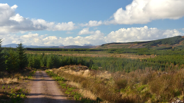
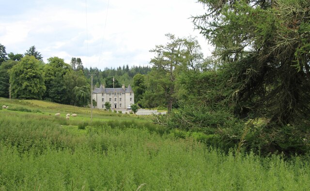
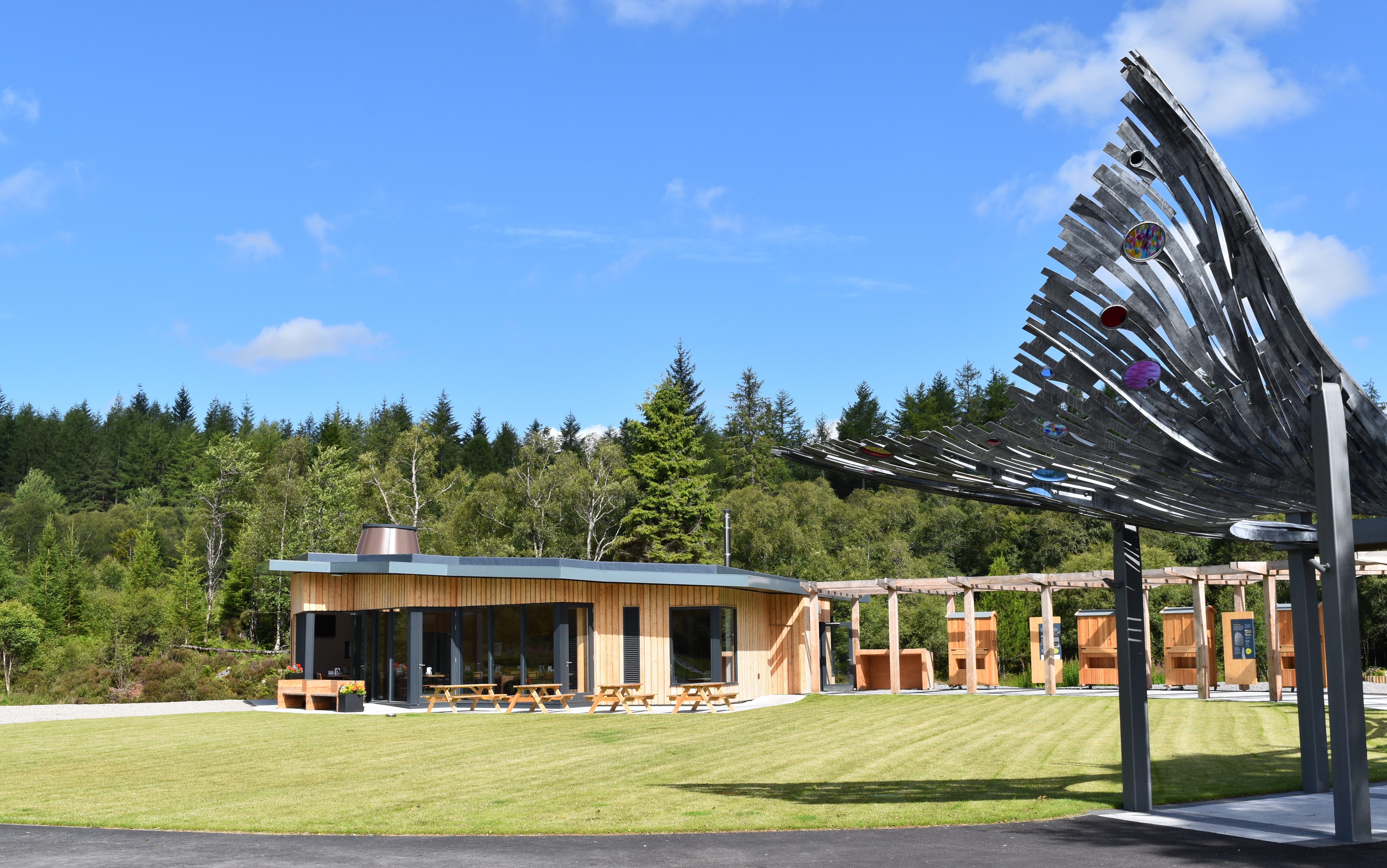
Achany is a small rural village located in the county of Sutherland, in the northern part of Scotland. Situated in the Highland region, Achany is surrounded by stunning natural beauty, with rolling hills, vast open fields, and picturesque landscapes.

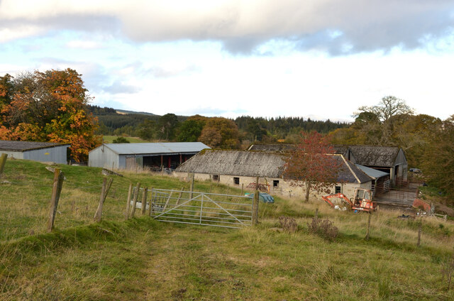
The village itself is characterized by its peaceful and tranquil atmosphere, offering a true escape from the hustle and bustle of city life. Achany is home to a small population, mainly consisting of residents who are deeply connected to the rural way of life and the land.

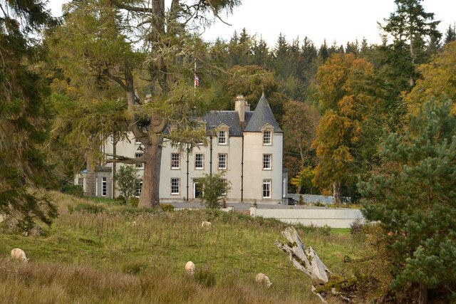
One of the main attractions in Achany is its rich history, with several ancient landmarks and archaeological sites found in the area. The village is known for its well-preserved broch, a circular stone tower that served as a fortified dwelling in ancient times. This historical monument provides visitors with a glimpse into the past and the way people lived centuries ago.

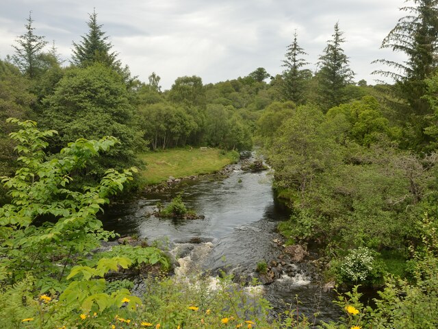
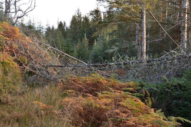
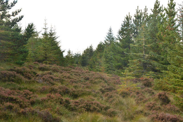
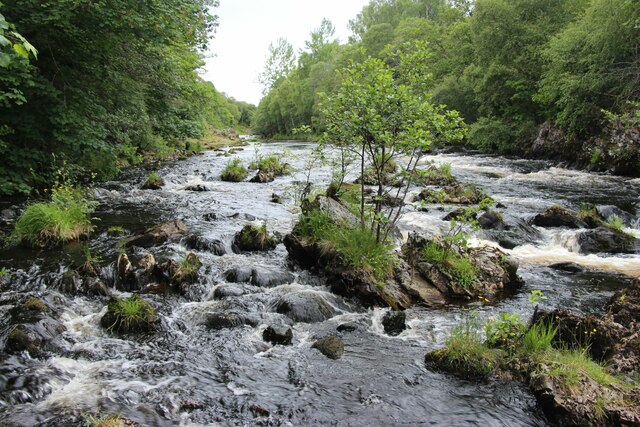
Nature enthusiasts will also find plenty to explore in Achany. The village is located near the River Helmsdale, which is famous for its salmon fishing. The surrounding countryside offers numerous walking and hiking trails, allowing visitors to immerse themselves in the stunning Scottish wilderness.

Although Achany is a small village, it boasts a strong sense of community, with various social and cultural events taking place throughout the year. These events provide an opportunity for locals and visitors alike to come together and celebrate the unique charm of this quaint Highland village.

If you have any feedback on the listing, please let us know in the comments section below.

Achany Images

Images are sourced within 2km of 57.980004/-4.4211447 or Grid Reference NC5601. Thanks to Geograph Open Source API. All images are credited.

River Shin in Achany Glen, Sutherland Part of the River Shin, as seen from the road in Achany Glen, Scottish Highlands.
River Shin in Achany Glen, Sutherland
Part of the River Shin, as seen from the road in Achany Glen, Scottish Highlands.
Forestry Track in Braemore Wood, Sutherland View facing west.
Forestry Track in Braemore Wood, Sutherland
View facing west.
Achany Farm, near Lairg, Sutherland
Achany House and Park, near Lairg, Sutherland A fine country house in a secluded location.
Achany House and Park, near Lairg, Sutherland
A fine country house in a secluded location.
Very overgrown and blocked track in Achany Wood, Sutherland A track is shown on the OS mapping here.  However, fallen trees, boggy ground and overgrown vegetation make it not easy to pass.
Very overgrown and blocked track in Achany Wood, Sutherland
A track is shown on the OS mapping here. However, fallen trees, boggy ground and overgrown vegetation make it not easy to pass.
Forestry Firebreak in Braemore Woods, Sutherland
Rapids on River Shin
Achany house and grounds
A road into Shin Forest
Understorey in Gruids Wood Including broom, birch-scrub and thistle.
Understorey in Gruids Wood
Including broom, birch-scrub and thistle.
Road bridge over Grudie Burn
A view from a bridge Geocaching is a type of global treasure hunt of people looking for caches, or hidden stashes of objects. Geocaching may also be described as a series of hide-and-seek games, where hiders provide online clues for seekers. Seekers use global positioning system (GPS) devices to find hidden caches
A view from a bridge
Geocaching is a type of global treasure hunt of people looking for caches, or hidden stashes of objects. Geocaching may also be described as a series of hide-and-seek games, where hiders provide online clues for seekers. Seekers use global positioning system (GPS) devices to find hidden caches
Old garden at Achinduich Lodge
The river Shin, north of the Shin Falls
Sunshine breaking through the mist in Shin Forest
Sunset impressions A beautiful, almost midnight, sunset colouration in the clouds
Sunset impressions
A beautiful, almost midnight, sunset colouration in the clouds
(42) A836 north of Achinduich
The old A836 south of Lairg
Show me another place!

Achany is located at Grid Ref: NC5601 (Lat: 57.980004, Lng: -4.4211447)

Unitary Authority: Highland

Police Authority: Highlands and Islands

What 3 Words

///weeknight.snake.unwound. Near Lairg, Highland

Nearby Locations

Achany Sheep Pass Wood

Related Wikis

Achany

Achany is a hamlet in Sutherland in the Scottish council area of Highland, Scotland. It lies off the B864 road on the west bank of the River Shin south...

Achinduich

Achinduich (Gaelic: Achadh an Dabhaich) is a hamlet on the east bank of the River Shin in the Scottish Highlands about 4 miles south of Lairg, Sutherland...

Falls of Shin

Falls of Shin is a waterfall on the River Shin, in northern Scotland, near the villages of Bonar Bridge and Lairg. Falls of Shin had a popular visitor...

Gruids

Gruids (Scottish Gaelic: Na GrĂ¹idean) is a small remote hamlet, in the council area of Highland, Scotland. == Geography == The village of Lairg which lies...

Nearby Amenities

Located within 500m of 57.980004,-4.4211447
Bus Stop
Achany
Naptan AtcoCode: 6700713391
Naptan Bearing: N
Naptan CommonName: Achany
Naptan Indicator: at Road End (Northbound)
Naptan Landmark: Achany Road End
Naptan NaptanCode: 45324785
Naptan Street: B864
Naptan Verified: no
Shelter: no
Source: naptan_import
Lat/Long: 57.9827833/-4.4187905
Bus Stop
Achany
Naptan AtcoCode: 6700713391A
Naptan Bearing: S
Naptan CommonName: Achany
Naptan Indicator: opp Road End (Southbound)
Naptan Landmark: Achany Road End
Naptan NaptanCode: 45324784
Naptan Street: B864
Naptan Verified: no
Shelter: no
Source: naptan_import
Lat/Long: 57.9826596/-4.418207
Achany
Name Gd: Achadh a' Chanaich
Place: hamlet
Lat/Long: 57.9813438/-4.4227053
Power: pole
Lat/Long: 57.9772183/-4.419574
Power: pole
Lat/Long: 57.9778913/-4.420049
Power: pole
Lat/Long: 57.9782815/-4.4203274
Power: pole
Lat/Long: 57.9787367/-4.4205473
Power: pole
Lat/Long: 57.9791455/-4.4206622
Power: pole
Lat/Long: 57.9799444/-4.4208374
Power: pole
Lat/Long: 57.9807805/-4.4211372
Power: pole
Lat/Long: 57.981375/-4.4213358
Power: pole
Lat/Long: 57.9818199/-4.4220599
Power: pole
Lat/Long: 57.9821863/-4.4226323
Power: pole
Lat/Long: 57.9817775/-4.4206955
Power: pole
Lat/Long: 57.9822949/-4.4198007
Power: pole
Lat/Long: 57.9828867/-4.4187962
Power: pole
Lat/Long: 57.9831766/-4.4183163
Power: pole
Lat/Long: 57.9837333/-4.4173808
The data included in this document is from www.openstreetmap.org. The data is made available under ODbL.

Have you been to Achany?

Leave your review of Achany below (or comments, questions and feedback).