Leacroft

Settlement in Staffordshire Cannock Chase

England

Leacroft

Approaching Norton Canes toll plaza on the M6 Toll The M6 Toll Road is a 27-mile private-sector expressway to the north of Birmingham. The M6 is the key artery through the West Midlands, but it suffers from chronic congestion as part of Britain’s longest and most important motorway. The Birmingham Northern Relief Road, as the M6 Toll was originally known, was built to siphon off the through traffic between the South-east and the North-West.

Site clearance started in 2000, construction of the road began in 2002 and it opened in December 2003 (<span class="nowrap"><a title="http://www.m6toll.co.uk/about-us/history/" rel="nofollow ugc noopener" href="http://www.m6toll.co.uk/about-us/history/">Link</a><img style="margin-left:2px;" alt="External link" title="External link - shift click to open in new window" src="https://s1.geograph.org.uk/img/external.png" width="10" height="10"/></span>  M6 Toll History). When planned, it was forecast that 72000 vehicles would use the link, but just half that number of motorists take the route today (2013 - <span class="nowrap"><a title="http://www.independent.co.uk/news/uk/home-news/overpriced-and-underused-m6-toll-road-is-going-nowhere-fast-8606755.html" rel="nofollow ugc noopener" href="http://www.independent.co.uk/news/uk/home-news/overpriced-and-underused-m6-toll-road-is-going-nowhere-fast-8606755.html">Link</a><img style="margin-left:2px;" alt="External link" title="External link - shift click to open in new window" src="https://s1.geograph.org.uk/img/external.png" width="10" height="10"/></span>  Overpriced and underused – The Independent) whilst in contrast, the M6 itself is still carrying in excess of 125,000 vehicles a day with many claiming that the toll route’s benefits do not warrant the charges (2013 rates: currently £5.50 for private cars and £11 for trucks, with modest discounts for weekend and overnight use - see <a href="https://www.geograph.org.uk/photo/3665133">SP2685 : M6 Toll Tariff, Chapel Green</a>) and that when traffic is flowing reasonably freely on the original M6, there is no incentive to use the toll route which is marginally longer than the free motorway, with time also lost for stopping to pay at the toll booth.

The toll motorway is operated by Midland Expressway Ltd, which has the concession until 2054 – when the road is due to be handed back to the government.
Approaching Norton Canes toll plaza on the M6 Toll Credit: Christopher Hilton

Leacroft is a small village located in the county of Staffordshire, England. Situated approximately 4 miles north of the town of Cannock, it is part of the Cannock Chase District. Leacroft is a primarily residential area with a population of around 2,000 residents.

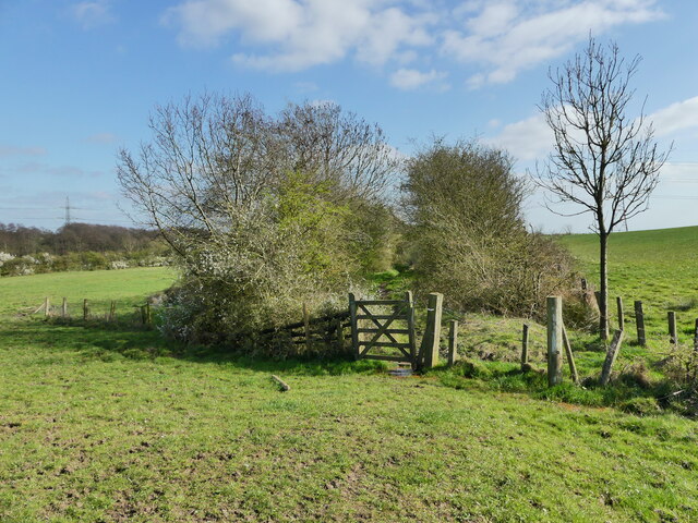
The village is surrounded by picturesque countryside, offering a tranquil and idyllic setting. It benefits from its close proximity to Cannock Chase, an Area of Outstanding Natural Beauty, which attracts visitors with its diverse wildlife and extensive walking trails.

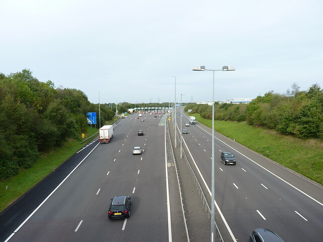
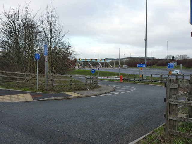
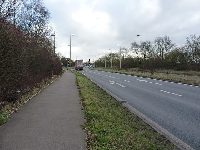
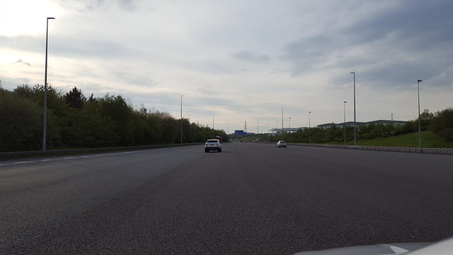
Leacroft is well-connected to other parts of Staffordshire, with good transport links. It is conveniently located near the A34 road, providing easy access to nearby towns and cities such as Stafford and Stoke-on-Trent. The village also benefits from regular bus services, allowing residents to easily commute to other areas.

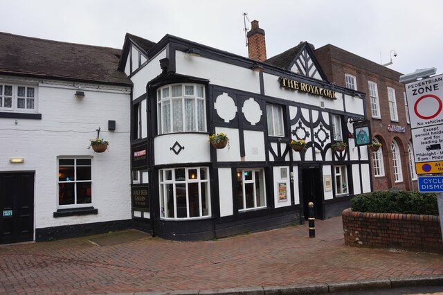
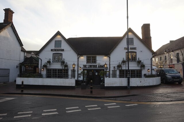
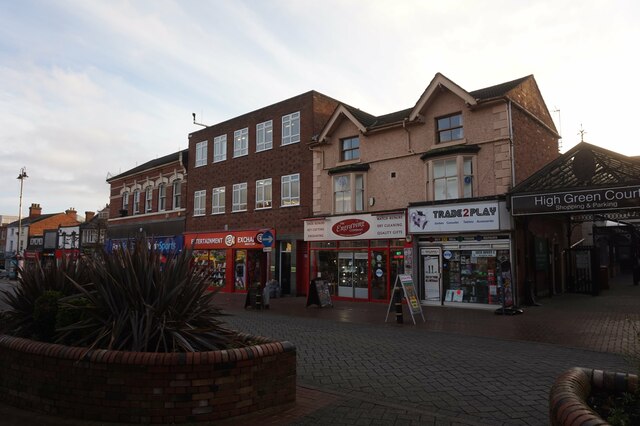
In terms of amenities, Leacroft offers a range of facilities to cater to the needs of its residents. There are local shops, a community center, and a primary school within the village, providing essential services and fostering a strong sense of community. Additionally, nearby Cannock provides a wider range of amenities, including supermarkets, leisure facilities, and secondary schools.

Leacroft is a peaceful and welcoming village, offering a high quality of life to its residents. With its stunning natural surroundings, convenient transport links, and range of amenities, it is an attractive place to live for those seeking a quieter and more rural lifestyle within easy reach of larger towns and cities.

If you have any feedback on the listing, please let us know in the comments section below.
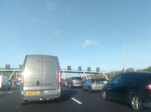
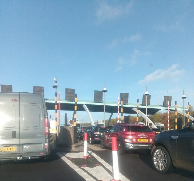
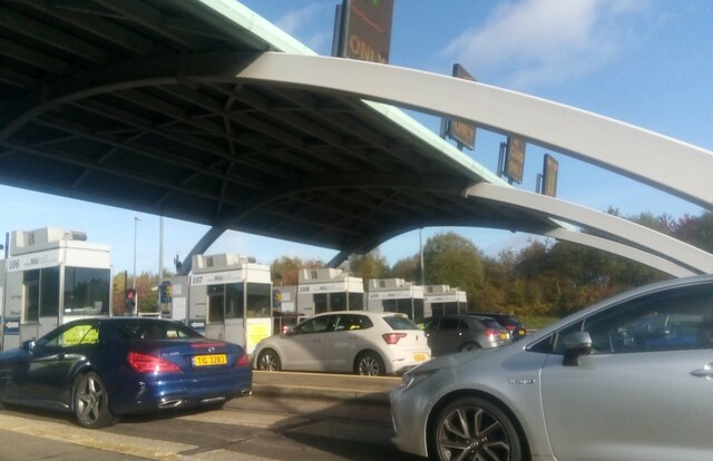
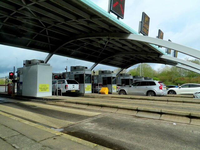
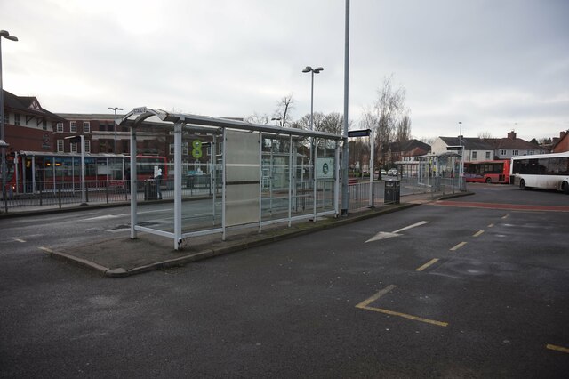
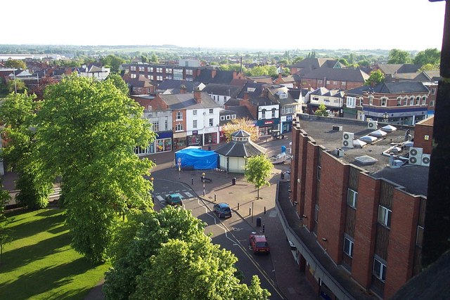
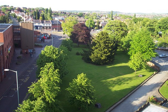
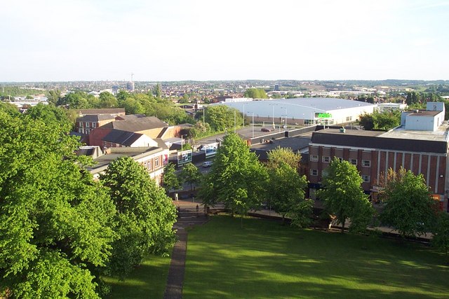
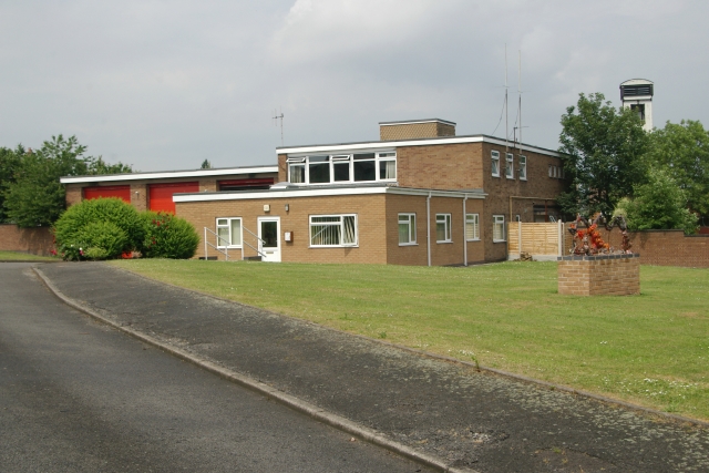
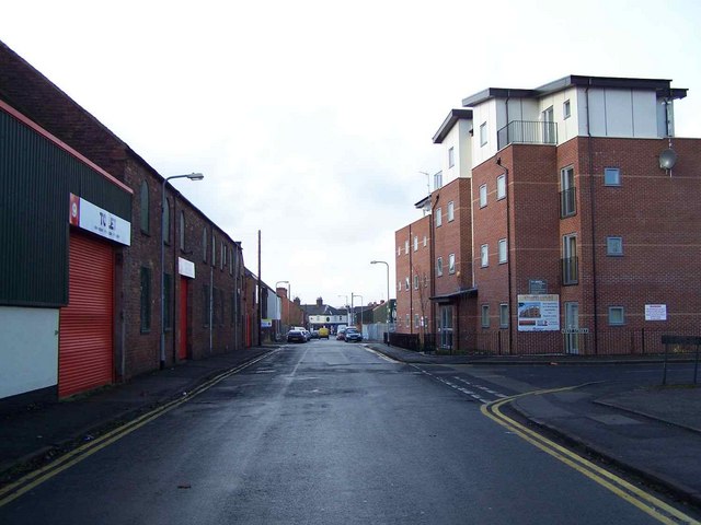
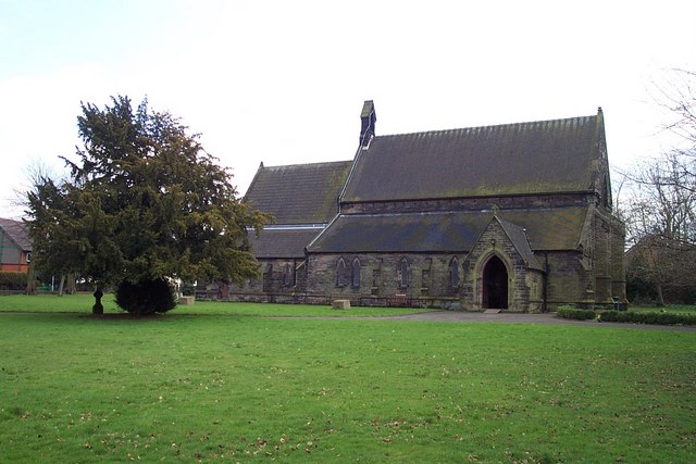
Leacroft Images

Images are sourced within 2km of 52.675265/-2.0168766 or Grid Reference SJ9808. Thanks to Geograph Open Source API. All images are credited.

Approaching Norton Canes toll plaza on the M6 Toll The M6 Toll Road is a 27-mile private-sector expressway to the north of Birmingham. The M6 is the key artery through the West Midlands, but it suffers from chronic congestion as part of Britain’s longest and most important motorway. The Birmingham Northern Relief Road, as the M6 Toll was originally known, was built to siphon off the through traffic between the South-east and the North-West.

Site clearance started in 2000, construction of the road began in 2002 and it opened in December 2003 (<span class="nowrap"><a title="http://www.m6toll.co.uk/about-us/history/" rel="nofollow ugc noopener" href="http://www.m6toll.co.uk/about-us/history/">Link</a><img style="margin-left:2px;" alt="External link" title="External link - shift click to open in new window" src="https://s1.geograph.org.uk/img/external.png" width="10" height="10"/></span>  M6 Toll History). When planned, it was forecast that 72000 vehicles would use the link, but just half that number of motorists take the route today (2013 - <span class="nowrap"><a title="http://www.independent.co.uk/news/uk/home-news/overpriced-and-underused-m6-toll-road-is-going-nowhere-fast-8606755.html" rel="nofollow ugc noopener" href="http://www.independent.co.uk/news/uk/home-news/overpriced-and-underused-m6-toll-road-is-going-nowhere-fast-8606755.html">Link</a><img style="margin-left:2px;" alt="External link" title="External link - shift click to open in new window" src="https://s1.geograph.org.uk/img/external.png" width="10" height="10"/></span>  Overpriced and underused – The Independent) whilst in contrast, the M6 itself is still carrying in excess of 125,000 vehicles a day with many claiming that the toll route’s benefits do not warrant the charges (2013 rates: currently £5.50 for private cars and £11 for trucks, with modest discounts for weekend and overnight use - see <a href="https://www.geograph.org.uk/photo/3665133">SP2685 : M6 Toll Tariff, Chapel Green</a>) and that when traffic is flowing reasonably freely on the original M6, there is no incentive to use the toll route which is marginally longer than the free motorway, with time also lost for stopping to pay at the toll booth.

The toll motorway is operated by Midland Expressway Ltd, which has the concession until 2054 – when the road is due to be handed back to the government.
Approaching Norton Canes toll plaza on the M6 Toll
The M6 Toll Road is a 27-mile private-sector expressway to the north of Birmingham. The M6 is the key artery through the West Midlands, but it suffers from chronic congestion as part of Britain’s longest and most important motorway. The Birmingham Northern Relief Road, as the M6 Toll was originally known, was built to siphon off the through traffic between the South-east and the North-West. Site clearance started in 2000, construction of the road began in 2002 and it opened in December 2003 (LinkExternal link M6 Toll History). When planned, it was forecast that 72000 vehicles would use the link, but just half that number of motorists take the route today (2013 - LinkExternal link Overpriced and underused – The Independent) whilst in contrast, the M6 itself is still carrying in excess of 125,000 vehicles a day with many claiming that the toll route’s benefits do not warrant the charges (2013 rates: currently £5.50 for private cars and £11 for trucks, with modest discounts for weekend and overnight use - see SP2685 : M6 Toll Tariff, Chapel Green) and that when traffic is flowing reasonably freely on the original M6, there is no incentive to use the toll route which is marginally longer than the free motorway, with time also lost for stopping to pay at the toll booth. The toll motorway is operated by Midland Expressway Ltd, which has the concession until 2054 – when the road is due to be handed back to the government.
Norton Canes toll barrier, M6 Toll
Norton Canes toll station on the M6 North (Toll)
M6 Toll Road from the overbridge Looking towards the toll booths at the western end of the M6 (Toll Road)
M6 Toll Road from the overbridge
Looking towards the toll booths at the western end of the M6 (Toll Road)
The Cannock Toll plaza Seen here from the access road used by staff, and presumably on occasions by emergency services.
The Cannock Toll plaza
Seen here from the access road used by staff, and presumably on occasions by emergency services.
A5 Watling Street at the Washbrook Lane junction
The M6 Toll The M6 Toll immediately after leaving the Toll booths.
The M6 Toll
The M6 Toll immediately after leaving the Toll booths.
Gate Across Footpath  Public footpath NC29 across farmland near Norton Canes, Staffs.
Gate Across Footpath
Public footpath NC29 across farmland near Norton Canes, Staffs.
The Royal Oak public house Market Place, Cannock.
The Royal Oak public house
Market Place, Cannock.
The Linford Arms public house, Cannock
Shops on Wolverhampton Road, Cannock
Cannock Bus Station
Cannock Bus Station
St. Luke's Church, Cannock
View of Cannock from top of St. Luke's Church Tower
Cannock fire station Cannock fire station, Old Hednesford Road, Cannock, Staffordshire. This has now been demolished and replaced by <a href="https://www.geograph.org.uk/photo/2448937">SJ9810 : New Fire Station. Cannock</a>
Cannock fire station
Cannock fire station, Old Hednesford Road, Cannock, Staffordshire. This has now been demolished and replaced by SJ9810 : New Fire Station. Cannock
Show me another place!

Leacroft is located at Grid Ref: SJ9808 (Lat: 52.675265, Lng: -2.0168766)

Administrative County: Staffordshire

District: Cannock Chase

Police Authority: Staffordshire

What 3 Words

///lobby.give.deals. Near Great Wyrley, Staffordshire

Related Wikis

Churchbridge Junction

Churchbridge is a road junction situated between Churchbridge and Bridgtown in Staffordshire. It links the A5, A34, and A460 to the adjacent M6 Toll. The...

Rumer Hill Junction

Rumer Hill Junction (grid reference SJ991090) was a canal junction on the Cannock Extension Canal where the Churchbridge Branch left to join the Hatherton...

Bridgtown

Bridgtown is a village and civil parish, in the Cannock Chase District of Staffordshire, England. It is situated on the A5 between Cannock and Great Wyrley...

Great Wyrley Academy

Great Wyrley Academy (formerly Great Wyrley High School) is a co-educational secondary school and sixth form located in Great Wyrley in the English county...

St Mark's Church, Great Wyrley

St Mark's is the parish church of Great Wyrley, South Staffordshire, England. It is known for having had the first South Asian vicar of any Church of England...

Wyrley and Cheslyn Hay railway station

Wyrley and Cheslyn Hay railway station served the villages of Great Wyrley and Cheslyn Hay in Staffordshire, England, between 1858 and 1965. == History... ==

Cannock railway station

Cannock railway station serves the town of Cannock in the Cannock Chase, Staffordshire, England. It is situated on the Chase Line. The station and all...

Designer Outlet West Midlands

The Designer Outlet West Midlands is an outlet shopping centre near Cannock, Staffordshire, England. It is owned by McArhurGlen Group and is the company...

Nearby Amenities

Located within 500m of 52.675265,-2.0168766
Traffic Signals
Traffic Signals: signal
Lat/Long: 52.6722587/-2.0189592
Crossing
Crossing: traffic_signals
Lat/Long: 52.6741515/-2.02252
Bus Stop
Sainsbury's Store
Bus: yes
Naptan AtcoCode: 3800C200600
Naptan Bearing: SW
Naptan CommonName: Sainsbury's Store
Naptan Indicator: Adj
Naptan Landmark: Sainsbury's
Naptan Street: Orbital Centre
Naptan Verified: no
Public Transport: platform
Source: naptan_import
Lat/Long: 52.6746785/-2.0175556
Bus Stop
Sainsbury's Store
Bus: yes
Naptan AtcoCode: 3800C200601
Naptan Bearing: NE
Naptan CommonName: Sainsbury's Store
Naptan Indicator: Opp
Naptan Landmark: Sainsbury's
Naptan Street: Orbital Centre
Naptan Verified: no
Public Transport: platform
Source: naptan_import
Lat/Long: 52.6744896/-2.0179105
Barrier: yes
Lat/Long: 52.6715302/-2.0196064
Mini Roundabout
Lat/Long: 52.6750833/-2.0195999
Power: tower
Lat/Long: 52.671881/-2.0162821
Power: tower
Lat/Long: 52.6727352/-2.0116557
Crossing
Crossing: zebra
Lat/Long: 52.6744384/-2.0178709
Power: tower
Lat/Long: 52.677527/-2.0160554
Power: tower
Lat/Long: 52.676503/-2.0120178
Traffic Signals
Traffic Signals: signal
Lat/Long: 52.6727398/-2.0227222
Crossing
Button Operated: yes
Crossing: traffic_signals
Crossing Markings: dots
Tactile Paving: yes
Lat/Long: 52.6728646/-2.0199095
Crossing
Crossing: traffic_signals
Lat/Long: 52.6741677/-2.0223358
Power: tower
Lat/Long: 52.6715672/-2.0134577
Fixme: add switch
Lat/Long: 52.6740974/-2.0239299
Power: tower
Lat/Long: 52.6719668/-2.0203228
Traffic Signals
Traffic Signals: crossing
Lat/Long: 52.6736581/-2.0205574
Traffic Signals
Traffic Signals: crossing
Lat/Long: 52.6738372/-2.020611
Mini Roundabout
Direction: clockwise
Lat/Long: 52.6746354/-2.0200034
Aggreko
Office: company
Lat/Long: 52.6753944/-2.0158952
Railway: switch
Lat/Long: 52.6745578/-2.0236011
Noexit: yes
Lat/Long: 52.6728294/-2.0136897
Noexit: yes
Lat/Long: 52.6729861/-2.0143381
Noexit: yes
Lat/Long: 52.6729242/-2.0141328
Noexit: yes
Lat/Long: 52.6728594/-2.0139247
Railway: buffer_stop
Lat/Long: 52.6752456/-2.0229954
Crossing
Button Operated: yes
Crossing: traffic_signals
Crossing Island: no
Crossing Markings: dots
Tactile Paving: yes
Lat/Long: 52.6738034/-2.0205609
Crossing
Button Operated: yes
Crossing: traffic_signals
Crossing Island: no
Crossing Markings: dots
Tactile Paving: yes
Lat/Long: 52.6736953/-2.0206097
Traffic Signals
Traffic Signals: signal
Lat/Long: 52.6721661/-2.0190504
Crossing
Button Operated: yes
Crossing: traffic_signals
Crossing Markings: dots
Tactile Paving: yes
Lat/Long: 52.6730296/-2.0199978
Traffic Signals
Traffic Signals: signal
Lat/Long: 52.6730182/-2.0198265
Traffic Signals
Traffic Signals: signal
Lat/Long: 52.6717117/-2.0186485
Traffic Signals
Traffic Signals: signal
Lat/Long: 52.6716093/-2.0185333
Traffic Signals
Traffic Signals: crossing
Lat/Long: 52.6728583/-2.0198355
Traffic Signals
Traffic Signals: signal
Lat/Long: 52.6730027/-2.0200514
Crossing
Crossing: uncontrolled
Lat/Long: 52.6736397/-2.0213493
Crossing
Crossing: uncontrolled
Lat/Long: 52.6737953/-2.0217169
Crossing
Crossing: unmarked
Crossing Markings: no
Lat/Long: 52.6733821/-2.0198042
Crossing
Crossing: unmarked
Crossing Markings: no
Lat/Long: 52.6732531/-2.0199679
Crossing
Crossing: unmarked
Crossing Markings: no
Lat/Long: 52.6717715/-2.018388
Crossing
Crossing: unmarked
Crossing Markings: no
Lat/Long: 52.6716172/-2.0185857
Crossing
Crossing: unmarked
Crossing Markings: no
Lat/Long: 52.6716527/-2.0200797
Crossing
Lat/Long: 52.6720315/-2.0184025
Crossing
Lat/Long: 52.6731908/-2.0189
Traffic Signals
Traffic Signals: signal
Lat/Long: 52.6726675/-2.0225654
Traffic Signals
Traffic Signals: crossing
Lat/Long: 52.6741101/-2.022555
Traffic Signals
Traffic Signals: crossing
Lat/Long: 52.6742001/-2.0223034
The Range
Brand: The Range
Brand Wikidata: Q7759409
Shop: houseware
Lat/Long: 52.6752512/-2.024118
The data included in this document is from www.openstreetmap.org. The data is made available under ODbL.

Have you been to Leacroft?

Leave your review of Leacroft below (or comments, questions and feedback).