Bridgtown
Civil Parish in Staffordshire Cannock Chase
England
Bridgtown
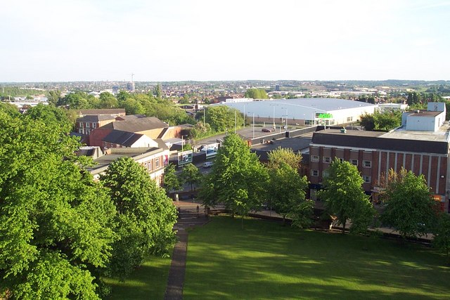
Bridgtown is a civil parish located in the county of Staffordshire, England. It is situated approximately 2 miles north of the town of Cannock and 18 miles north of the city of Wolverhampton. The parish covers an area of around 4 square miles.
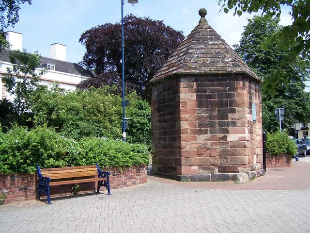
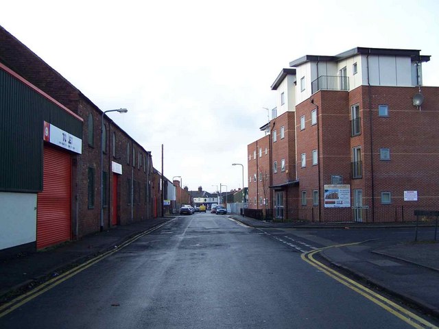
Bridgtown is primarily a residential area with a population of around 8,000 people. The architecture of the area is mostly characterized by traditional brick-built houses, reflecting its industrial heritage. The nearby Hednesford Hills provide a scenic backdrop to the parish.
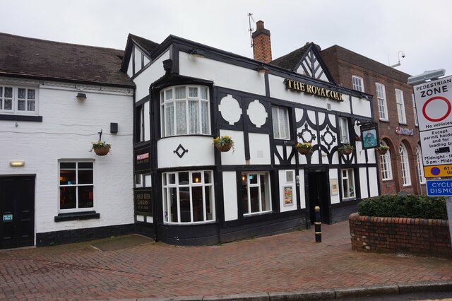
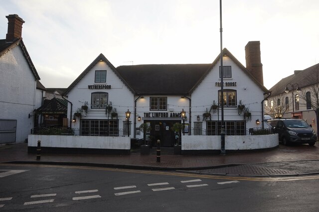
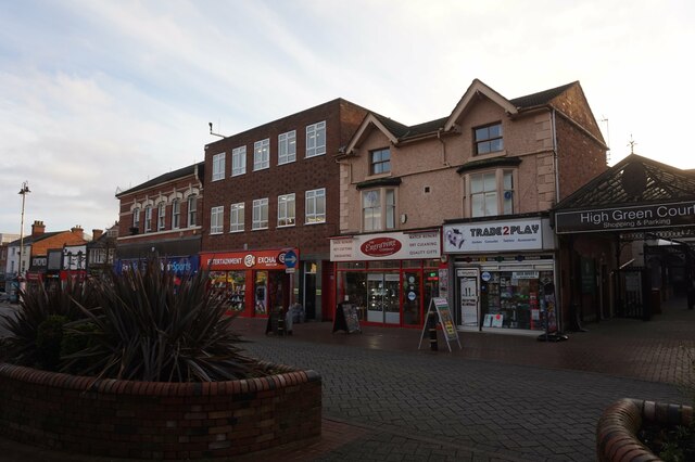
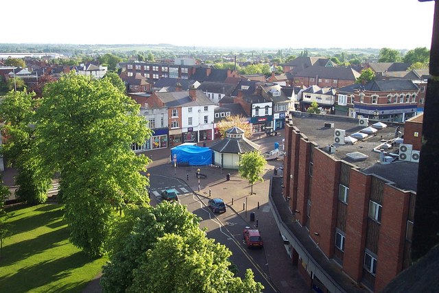
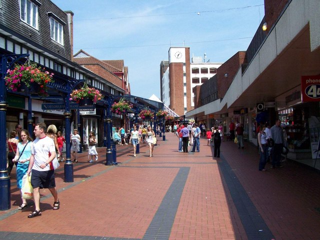
The area has a strong sense of community, with various local amenities and facilities. There are several schools serving the residents of Bridgtown, including Bridgtown Primary School and Cardinal Griffin Catholic High School. There are also numerous shops, pubs, and restaurants in the area, providing a range of services for residents.
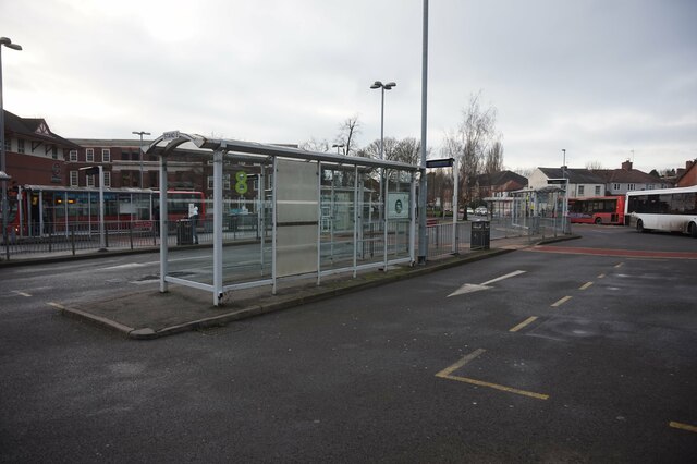
Bridgtown is well-connected to the rest of Staffordshire and the West Midlands region. The A460 road passes through the area, providing easy access to nearby towns and cities. The railway station in Cannock offers regular services to Birmingham, Stafford, and other major destinations.
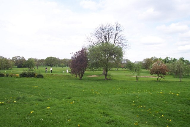
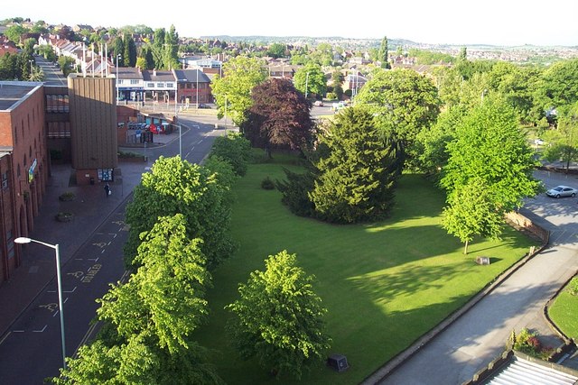
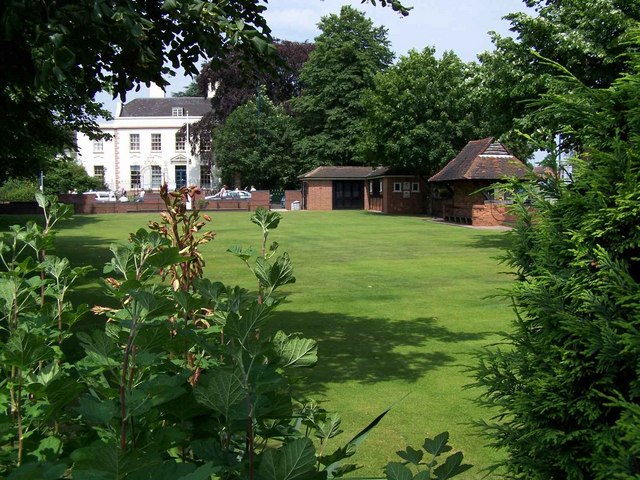
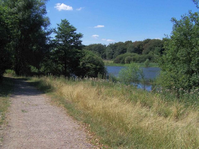
The parish is also known for its recreational opportunities. Bridgtown has a number of parks and green spaces, including Hednesford Park, where residents can enjoy leisure activities and outdoor sports. There are also several sports clubs and facilities in the area, catering to a variety of interests.
Overall, Bridgtown offers a pleasant residential environment with a strong sense of community, convenient amenities, and easy access to surrounding areas.
If you have any feedback on the listing, please let us know in the comments section below.
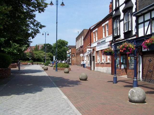
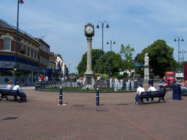
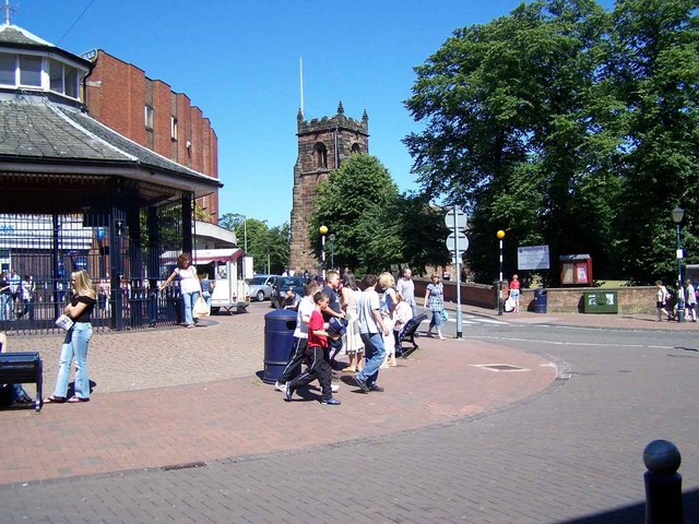
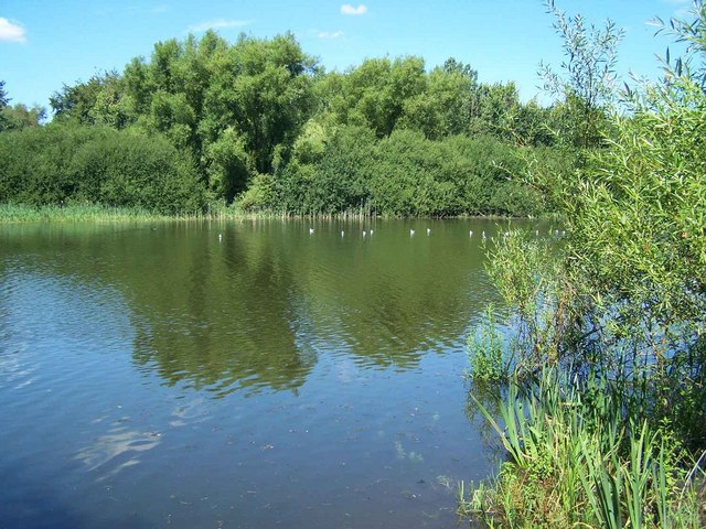
Bridgtown Images
Images are sourced within 2km of 52.675488/-2.030258 or Grid Reference SJ9808. Thanks to Geograph Open Source API. All images are credited.

Bridgtown is located at Grid Ref: SJ9808 (Lat: 52.675488, Lng: -2.030258)
Administrative County: Staffordshire
District: Cannock Chase
Police Authority: Staffordshire
What 3 Words
///expect.beyond.gently. Near Cannock, Staffordshire
Related Wikis
Bridgtown
Bridgtown is a village and civil parish, in the Cannock Chase District of Staffordshire, England. It is situated on the A5 between Cannock and Great Wyrley...

Churchbridge Junction
Churchbridge is a road junction situated between Churchbridge and Bridgtown in Staffordshire. It links the A5, A34, and A460 to the adjacent M6 Toll. The...

Wyrley and Cheslyn Hay railway station
Wyrley and Cheslyn Hay railway station served the villages of Great Wyrley and Cheslyn Hay in Staffordshire, England, between 1858 and 1965. == History... ==
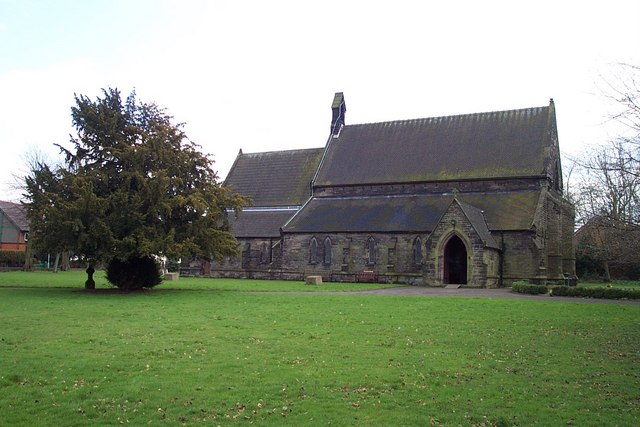
St Mark's Church, Great Wyrley
St Mark's is the parish church of Great Wyrley, South Staffordshire, England. It is known for having had the first South Asian vicar of any Church of England...

Rumer Hill Junction
Rumer Hill Junction (grid reference SJ991090) was a canal junction on the Cannock Extension Canal where the Churchbridge Branch left to join the Hatherton...

Cannock railway station
Cannock railway station serves the town of Cannock in the Cannock Chase, Staffordshire, England. It is situated on the Chase Line. The station and all...
Great Wyrley Academy
Great Wyrley Academy (formerly Great Wyrley High School) is a co-educational secondary school and sixth form located in Great Wyrley in the English county...

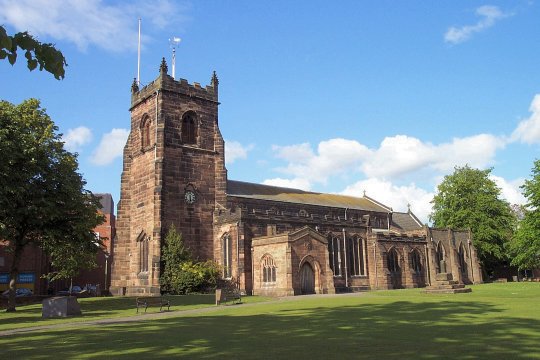
St Luke's Church, Cannock
St Luke's Church, Cannock is a Grade II* listed parish church in Cannock, Staffordshire, England. It is an active place of worship and community hub in...
Nearby Amenities
Located within 500m of 52.675488,-2.030258Have you been to Bridgtown?
Leave your review of Bridgtown below (or comments, questions and feedback).