Bridgtown
Settlement in Staffordshire Cannock Chase
England
Bridgtown
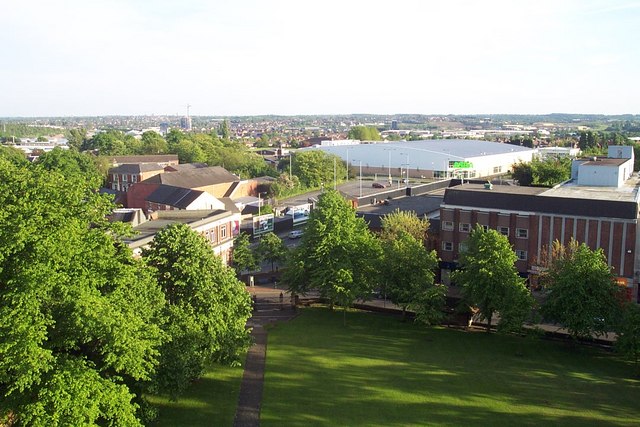
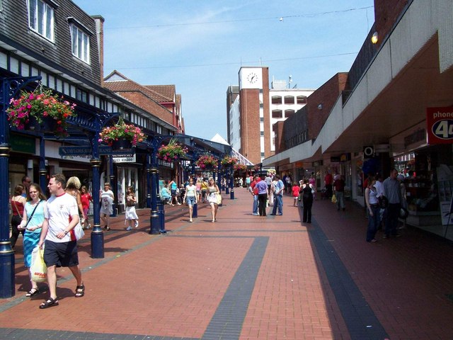
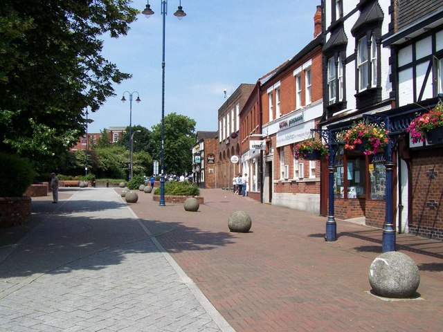
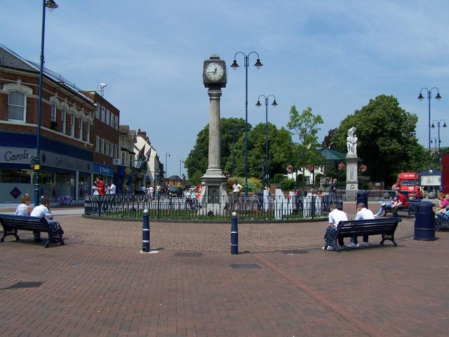
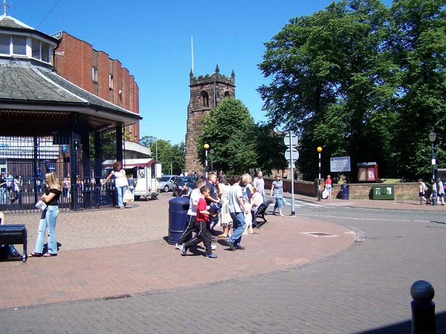
Bridgtown is a small village located in the district of Cannock Chase, Staffordshire, England. Situated just three miles south of Cannock town center, Bridgtown has a population of approximately 6,000 residents. The village is known for its close-knit community and friendly atmosphere.
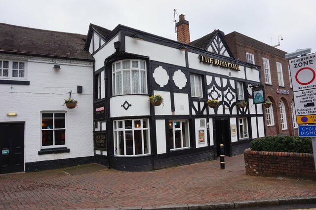
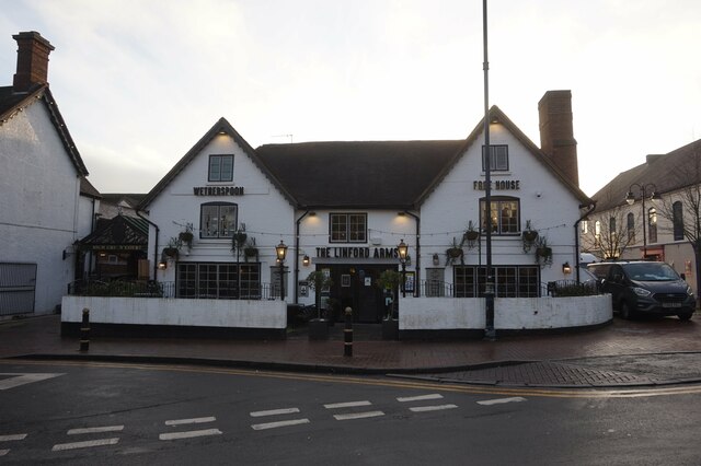
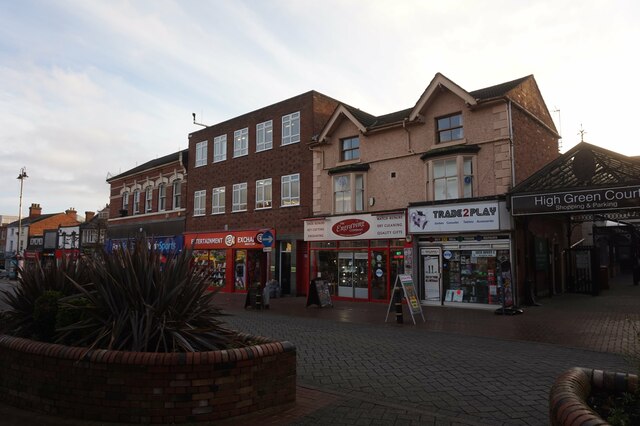
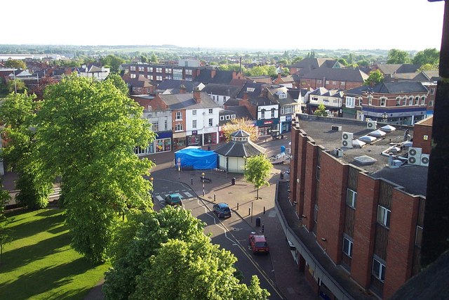
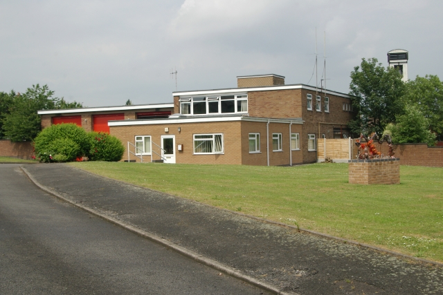
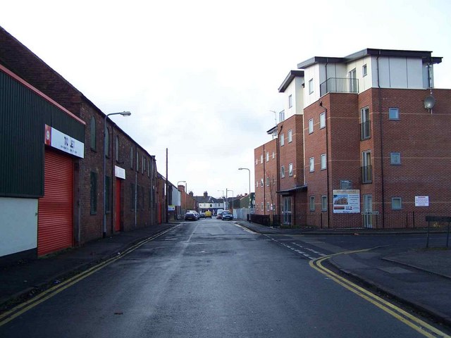
Bridgtown is primarily a residential area, with a mix of housing styles ranging from Victorian terraces to more modern developments. There are also a number of local amenities and services available, including shops, pubs, and restaurants, making it a convenient place to live.
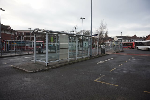
The village is well-connected to surrounding areas, with good transport links. The A5 road runs nearby, providing easy access to other towns and cities in the region, such as Stafford and Wolverhampton. Additionally, Bridgtown has its own railway station, offering regular services to Birmingham and Rugeley.
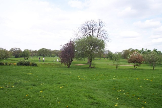
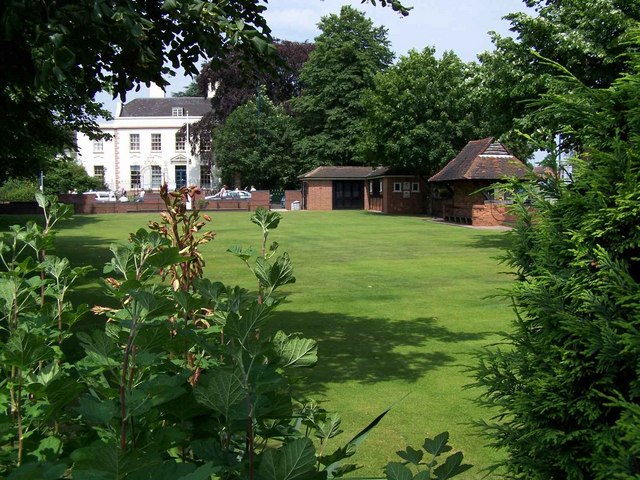
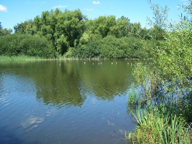
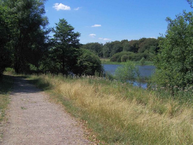
Bridgtown is surrounded by beautiful countryside, with nearby attractions including Cannock Chase, an Area of Outstanding Natural Beauty. This provides residents with ample opportunities for outdoor activities, such as walking, cycling, and horse riding.
The village also has a strong sense of community, with several local organizations and groups offering a range of activities and events for residents of all ages. These include sports clubs, social clubs, and community centers, ensuring there is always something to get involved in.
In summary, Bridgtown is a charming village with a strong community spirit, offering a range of amenities, good transport links, and easy access to beautiful countryside. It provides an attractive option for those seeking a peaceful and friendly place to call home in Staffordshire.
If you have any feedback on the listing, please let us know in the comments section below.
Bridgtown Images
Images are sourced within 2km of 52.676763/-2.0297446 or Grid Reference SJ9808. Thanks to Geograph Open Source API. All images are credited.
Bridgtown is located at Grid Ref: SJ9808 (Lat: 52.676763, Lng: -2.0297446)
Administrative County: Staffordshire
District: Cannock Chase
Police Authority: Staffordshire
What 3 Words
///cares.faced.other. Near Cannock, Staffordshire
Related Wikis
Bridgtown
Bridgtown is a village and civil parish, in the Cannock Chase District of Staffordshire, England. It is situated on the A5 between Cannock and Great Wyrley...

Churchbridge Junction
Churchbridge is a road junction situated between Churchbridge and Bridgtown in Staffordshire. It links the A5, A34, and A460 to the adjacent M6 Toll. The...

Rumer Hill Junction
Rumer Hill Junction (grid reference SJ991090) was a canal junction on the Cannock Extension Canal where the Churchbridge Branch left to join the Hatherton...

Cannock railway station
Cannock railway station serves the town of Cannock in the Cannock Chase, Staffordshire, England. It is situated on the Chase Line. The station and all...

Wyrley and Cheslyn Hay railway station
Wyrley and Cheslyn Hay railway station served the villages of Great Wyrley and Cheslyn Hay in Staffordshire, England, between 1858 and 1965. == History... ==
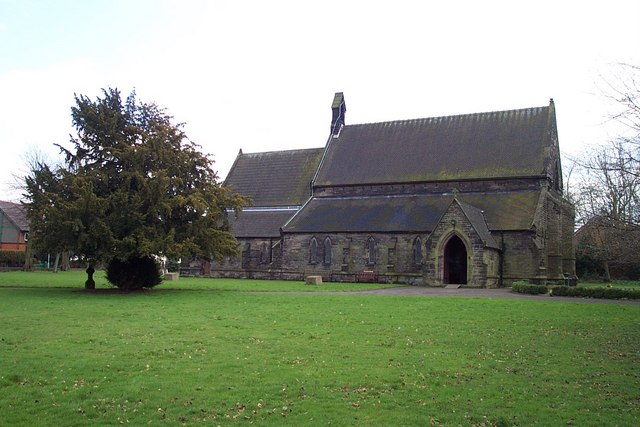
St Mark's Church, Great Wyrley
St Mark's is the parish church of Great Wyrley, South Staffordshire, England. It is known for having had the first South Asian vicar of any Church of England...

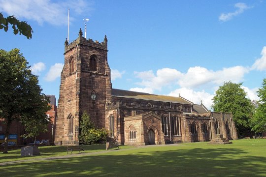
St Luke's Church, Cannock
St Luke's Church, Cannock is a Grade II* listed parish church in Cannock, Staffordshire, England. It is an active place of worship and community hub in...
Great Wyrley Academy
Great Wyrley Academy (formerly Great Wyrley High School) is a co-educational secondary school and sixth form located in Great Wyrley in the English county...
Nearby Amenities
Located within 500m of 52.676763,-2.0297446Have you been to Bridgtown?
Leave your review of Bridgtown below (or comments, questions and feedback).