Lea by Backford

Settlement in Cheshire

England

Lea by Backford

Cycle track by A5117 south-east of Dunkirk
Cycle track by A5117 south-east of Dunkirk Credit: David Smith

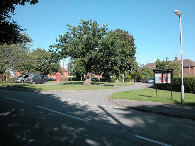
Lea is a small village located in the district of Backford, Cheshire, in the northwest of England. Situated near the city of Chester, Lea forms part of the wider civil parish of Backford and allows easy access to the amenities and services provided in the area.

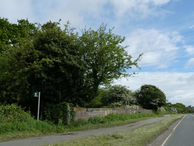
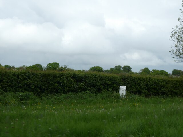
The village is characterized by its picturesque countryside setting, with rolling green fields and charming rural landscapes. It offers a peaceful and tranquil environment, making it an attractive place to live for those seeking a quiet and idyllic lifestyle.

Lea is primarily a residential area, with a small population that contributes to its close-knit community atmosphere. The village consists mainly of traditional houses and cottages, adding to its quaint and traditional charm.

Despite its small size, Lea benefits from its proximity to larger towns and cities. The city of Chester is only a short distance away, providing residents with easy access to a wide range of amenities, including shopping centers, restaurants, and entertainment venues.

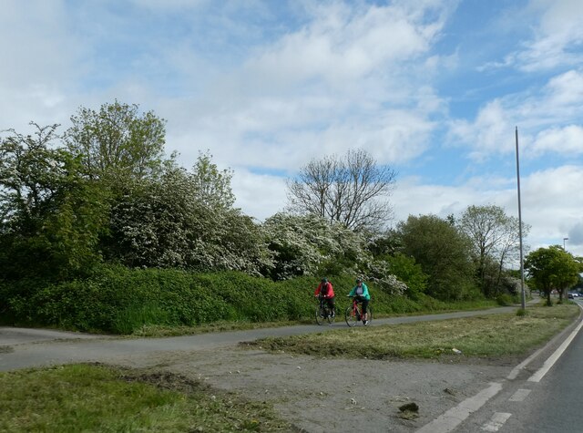
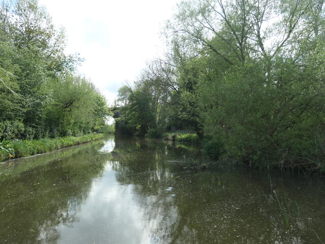
Nature enthusiasts will find plenty to explore in the surrounding area. The village is situated near the Cheshire countryside, offering numerous walking and cycling routes, as well as opportunities for outdoor activities and recreation.

Overall, Lea in Backford, Cheshire, offers a peaceful and charming village lifestyle, with close proximity to larger towns and cities for additional amenities and services.

If you have any feedback on the listing, please let us know in the comments section below.

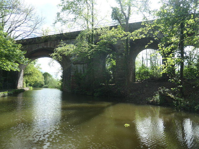
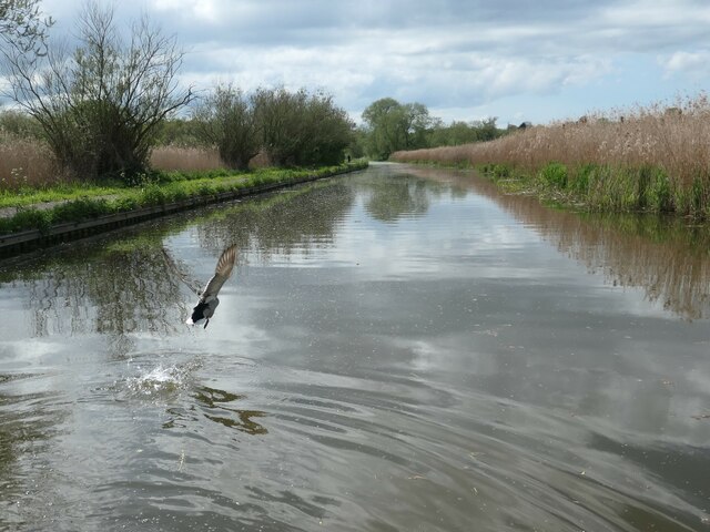
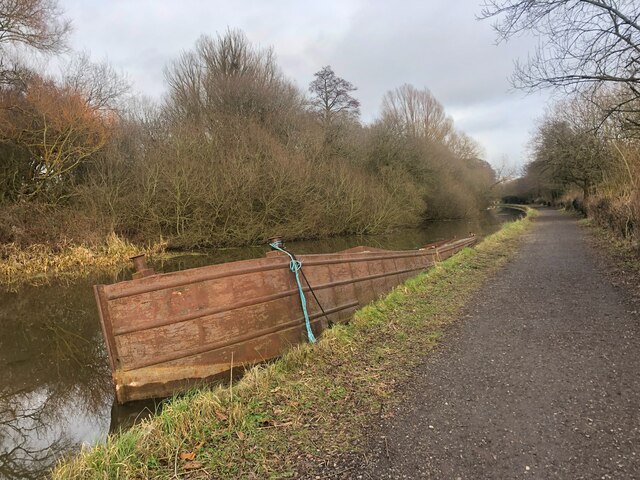
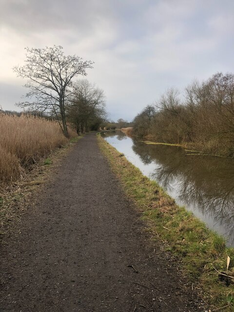
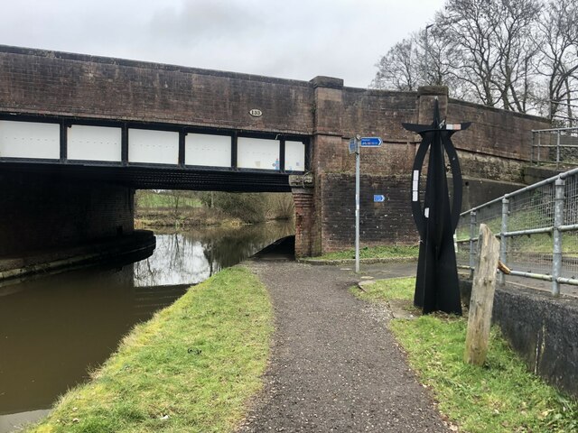
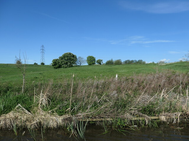
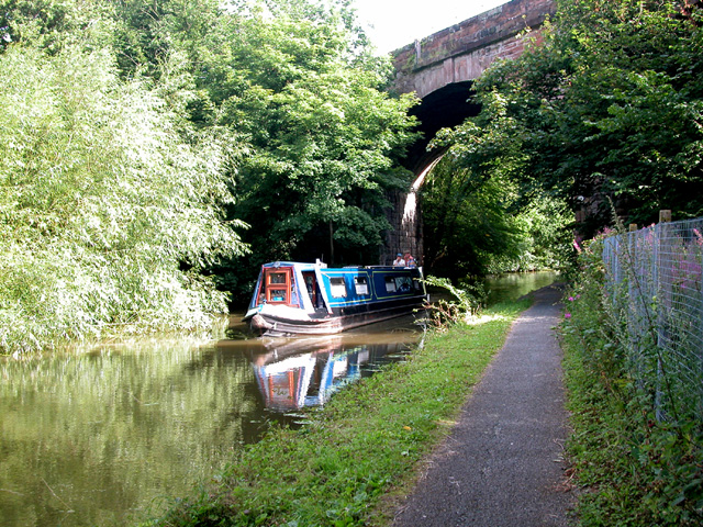
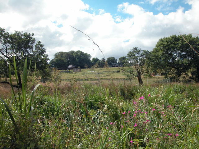
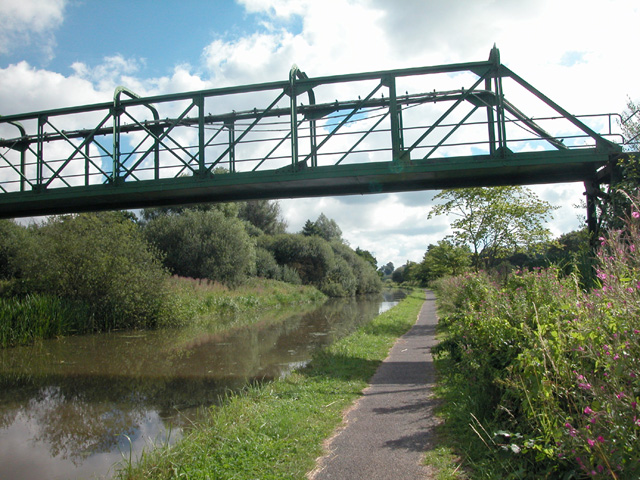
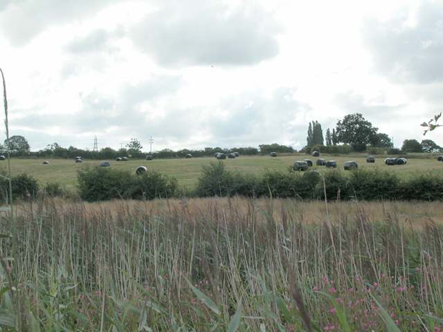
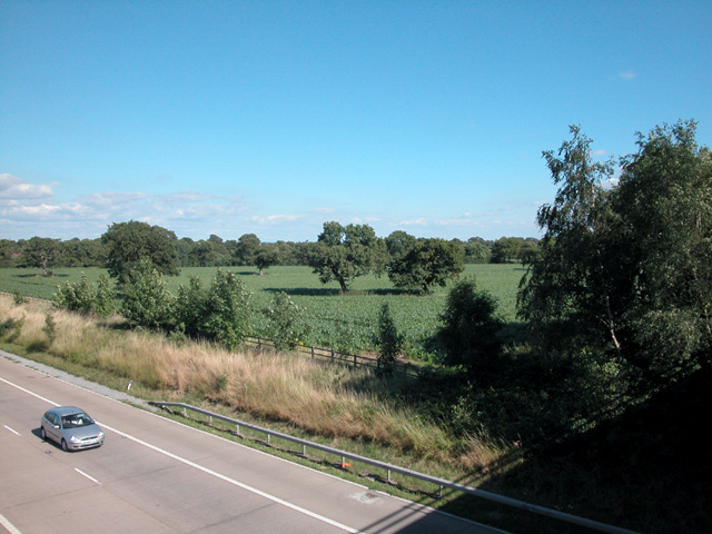
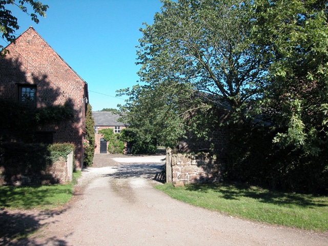
Lea by Backford Images

Images are sourced within 2km of 53.236311/-2.9115251 or Grid Reference SJ3971. Thanks to Geograph Open Source API. All images are credited.

Cycle track by A5117 south-east of Dunkirk
Railway bridge parapet by A5117 near Dunkirk A footpath sign points to a path beside the railway line
Railway bridge parapet by A5117 near Dunkirk
A footpath sign points to a path beside the railway line
Milestone by A540 near Mollington In detail, it is shown in <a href="https://www.geograph.org.uk/photo/5622903">SJ3770 : Old Milepost by the A540, west of Mollington</a>
Milestone by A540 near Mollington
Shropshire Union canal, looking south Between bridges 133 and 132A.
Shropshire Union canal, looking south
Between bridges 133 and 132A.
Railway and canal, near Mollington The canal opened in 1797 as part of the never-completed Ellesmere Canal. It is now part of the Shropshire Union canal. The railway opened in 1840, as the Chester and Birkenhead Railway.
Railway and canal, near Mollington
The canal opened in 1797 as part of the never-completed Ellesmere Canal. It is now part of the Shropshire Union canal. The railway opened in 1840, as the Chester and Birkenhead Railway.
Mallard taking flight, Shropshire Union canal Having been surprised by the photographer's approaching narrowboat.
Mallard taking flight, Shropshire Union canal
Having been surprised by the photographer's approaching narrowboat.
Rusty hulk on the Shropshire Union Canal Route 45 of the National Cycle Network passes this way. Known as the Mercian Way, it stretches from Salisbury to Chester
Rusty hulk on the Shropshire Union Canal
Route 45 of the National Cycle Network passes this way. Known as the Mercian Way, it stretches from Salisbury to Chester
The Shropshire Union Canal The Cheshire section of the canal. The towpath also forms part of the Mercian Way, Route 45 on the National Cycle Network
The Shropshire Union Canal
The Cheshire section of the canal. The towpath also forms part of the Mercian Way, Route 45 on the National Cycle Network
Bridge 133 on the Shropshire Union Canal The A42 Liverpool Road crosses the canal here.
Bridge 133 on the Shropshire Union Canal
The A42 Liverpool Road crosses the canal here.
Sunlit plantation On the east bank of the Shropshire Union canal, north of Knollys bridge.
Sunlit plantation
On the east bank of the Shropshire Union canal, north of Knollys bridge.
Farmland east of Mollington The bushes are growing by a small pond.
Farmland east of Mollington
The bushes are growing by a small pond.
Railway Viaduct Viaduct crossing Shropshire Union Canal at almost centre of grid square SJ394706. To the east is a military camp on the site of Moston Hall
Railway Viaduct
Viaduct crossing Shropshire Union Canal at almost centre of grid square SJ394706. To the east is a military camp on the site of Moston Hall
Relic from WW2 Looking south from SJ405709, the derelict building on Butter Hill was part of a storage and pipeline system to supply fuel to the military on the south coast of England. The fuel was then transferred through PLUTO, an acronym for Pipe Line Under The Ocean, to allied forces in northern France.  <span class="nowrap"><a title="http://www.historyofuptonbychester.org.uk/crd.html" rel="nofollow ugc noopener" href="http://www.historyofuptonbychester.org.uk/crd.html">Link</a><img style="margin-left:2px;" alt="External link" title="External link - shift click to open in new window" src="https://s1.geograph.org.uk/img/external.png" width="10" height="10"/></span>
Relic from WW2
Looking south from SJ405709, the derelict building on Butter Hill was part of a storage and pipeline system to supply fuel to the military on the south coast of England. The fuel was then transferred through PLUTO, an acronym for Pipe Line Under The Ocean, to allied forces in northern France. LinkExternal link
Disused Footbridge and Pipeline Believed to be part of a military installation from WW2
Disused Footbridge and Pipeline
Believed to be part of a military installation from WW2
Hay Crop Looking south from the canal towpath the farmland belongs to Chester Zoological Gardens and mainly farmed to provide for the animals.
Hay Crop
Looking south from the canal towpath the farmland belongs to Chester Zoological Gardens and mainly farmed to provide for the animals.
Farmland To the south of the M56 motorway. Currently growing the ubiquitous Maize crop which seems to be favourite crop of local farmers in 2005.
Farmland
To the south of the M56 motorway. Currently growing the ubiquitous Maize crop which seems to be favourite crop of local farmers in 2005.
Pump Farm Farmhouse in Gordon Lane close to the hospice in Backford village. A barn at the farm is Grade 2 listed on the British Listed Buildings site <span class="nowrap"><a title="http://www.britishlistedbuildings.co.uk/en-55392-barn-at-pump-farm-backford-/osmap" rel="nofollow ugc noopener" href="http://www.britishlistedbuildings.co.uk/en-55392-barn-at-pump-farm-backford-/osmap">Link</a><img style="margin-left:2px;" alt="External link" title="External link - shift click to open in new window" src="https://s1.geograph.org.uk/img/external.png" width="10" height="10"/></span> 
The contributor is obliged to Ian M Carter of Malaysia for advising that the farm had been previously been incorrectly identified as Fairfield farm.
Pump Farm
Farmhouse in Gordon Lane close to the hospice in Backford village. A barn at the farm is Grade 2 listed on the British Listed Buildings site LinkExternal link The contributor is obliged to Ian M Carter of Malaysia for advising that the farm had been previously been incorrectly identified as Fairfield farm.
Backford Village Modern houses in the ancient parish of Backford.
Backford Village
Modern houses in the ancient parish of Backford.
Show me another place!

Lea by Backford is located at Grid Ref: SJ3971 (Lat: 53.236311, Lng: -2.9115251)

Unitary Authority: Cheshire West and Chester

Police Authority: Cheshire

What 3 Words

///sorters.warm.laptop. Near Mollington, Cheshire

Nearby Locations

Backford Lea by Backford

Related Wikis

Lea-by-Backford

Lea-by-Backford is a hamlet and civil parish in the unitary authority of Cheshire West and Chester and the ceremonial county of Cheshire, England. It is...

Mollington railway station

Mollington railway station was on the Chester and Birkenhead Railway near to the village of Mollington in Cheshire, England. The station opened on 23 September...

St Oswald's Church, Backford

St Oswald's Church is in the village of Backford, to the northwest of Chester, Cheshire, England, close to the A41 road and adjoining Backford Hall. It...

Backford Hall

Backford Hall is a country house in the village of Backford, Cheshire, England. It was built in the mid 19th Century on the site of earlier halls, and...

Nearby Amenities

Located within 500m of 53.236311,-2.9115251
Power: tower
Lat/Long: 53.2383137/-2.9113507
Power: tower
Lat/Long: 53.2389533/-2.9152943
Power: tower
Lat/Long: 53.2376302/-2.90691
Bus Stop
Lea by Backford, Station Road / Old Station
Bus: yes
Naptan AtcoCode: 0610CH622
Naptan Bearing: SW
Naptan BusStopType: CUS
Naptan CommonName: Old Station
Naptan Indicator: o/s
Naptan Landmark: Old Station
Naptan LocalityName: Lea by Backford
Naptan NaptanCode: chwtwdj
Naptan PlusbusZoneRef: CHST
Naptan ShortCommonName: Old Station
Naptan Street: Station Road
Naptan Verified: no
Public Transport: platform
Source: naptan_import
Lat/Long: 53.2330876/-2.9143839
Power: tower
Lat/Long: 53.2324469/-2.9144648
Power: tower
Lat/Long: 53.2339155/-2.9157287
Power: tower
Lat/Long: 53.2361768/-2.9176279
Power: tower
Lat/Long: 53.2378475/-2.9163572
Power: tower
Lat/Long: 53.239076/-2.9148386
Lea-by-Backford
Place: village
Lat/Long: 53.236836/-2.9172111
Man Made: mast
Lat/Long: 53.2319991/-2.9129796
The data included in this document is from www.openstreetmap.org. The data is made available under ODbL.

Have you been to Lea by Backford?

Leave your review of Lea by Backford below (or comments, questions and feedback).