Lea Brook
Settlement in Yorkshire
England
Lea Brook
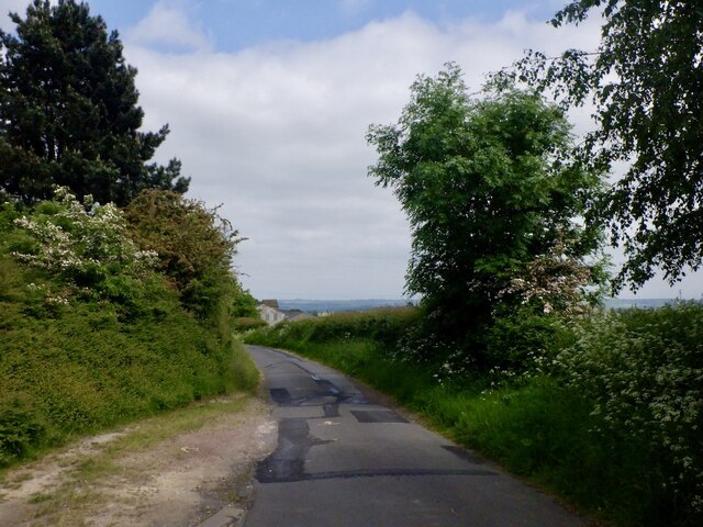
Lea Brook is a small village located in the county of Yorkshire, England. Situated on the eastern edge of the Peak District National Park, it is known for its picturesque surroundings and charming rural atmosphere. The village is nestled in a valley, surrounded by rolling hills and lush green fields, offering stunning views of the countryside.
With a population of around 500 residents, Lea Brook is a close-knit community that prides itself on its strong sense of community spirit and friendly atmosphere. The village is primarily residential, with a mix of traditional stone cottages and more modern houses dotting the landscape. There is also a small village hall, which serves as a hub for social activities and events.
Lea Brook is well-connected to the wider region, with good transport links to nearby towns and cities. The village is located just off the A628 road, which provides easy access to Sheffield, Manchester, and other major cities. Additionally, there are regular bus services that run through the village, connecting residents to neighboring areas.
The surrounding area offers plenty of opportunities for outdoor activities and exploration. The Peak District National Park is a popular destination for hikers, cyclists, and wildlife enthusiasts, with numerous walking trails and scenic spots to discover. Local attractions include the historic Chatsworth House, renowned for its stunning architecture and beautiful gardens.
In summary, Lea Brook is a picturesque village nestled in the stunning Yorkshire countryside. With its strong sense of community and proximity to the Peak District, it offers a peaceful retreat for residents and visitors alike.
If you have any feedback on the listing, please let us know in the comments section below.
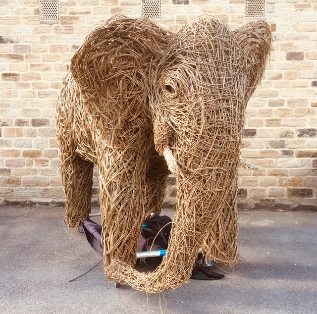
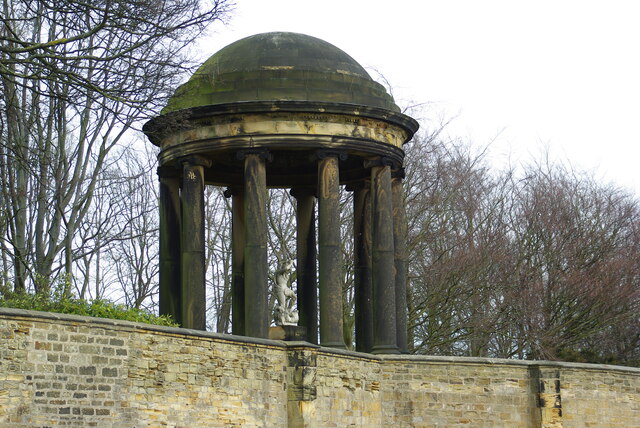
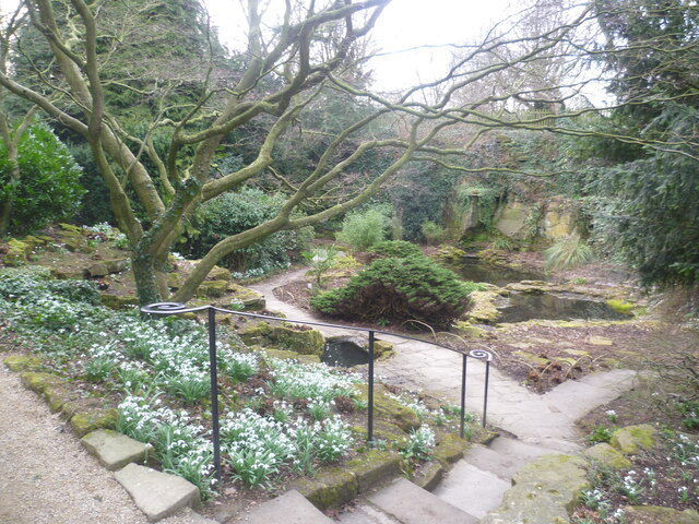
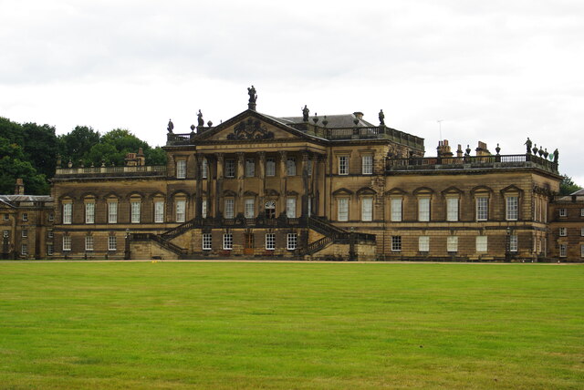
Lea Brook Images
Images are sourced within 2km of 53.48795/-1.3960242 or Grid Reference SK4099. Thanks to Geograph Open Source API. All images are credited.


Lea Brook is located at Grid Ref: SK4099 (Lat: 53.48795, Lng: -1.3960242)
Division: West Riding
Unitary Authority: Rotherham
Police Authority: South Yorkshire
What 3 Words
///roofed.consoled.verifying. Near Wentworth, South Yorkshire
Nearby Locations
Related Wikis

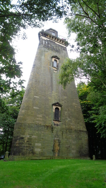
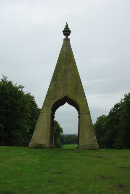
Needle's Eye
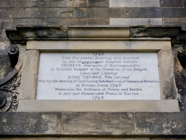
Needle's Eye is a 14-metre (46 ft) pyramid Grade II* listed building which is situated in Wentworth, South Yorkshire in northern England. Needle's Eye...
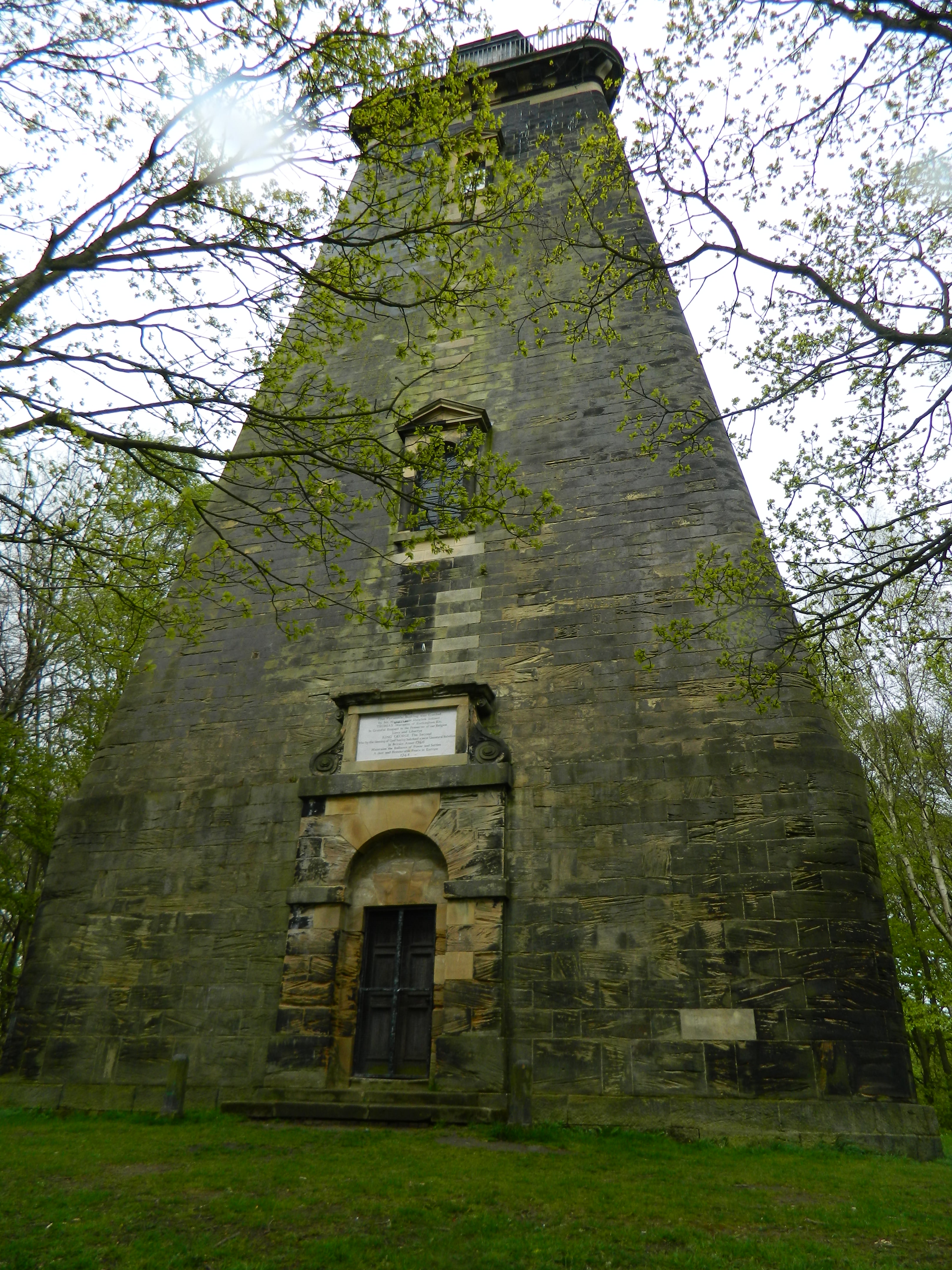
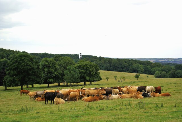
Hoober Stand
Hoober Stand is a 30-metre-high (98 ft) tower and Grade II* listed building on a ridge in Wentworth, South Yorkshire in northern England. It was designed...

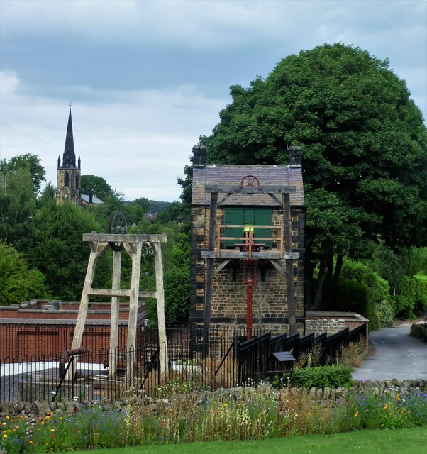
Elsecar
Elsecar ( , locally ) is a village in the Metropolitan Borough of Barnsley in South Yorkshire, England. It is near to Jump and Wentworth, it is also 2...

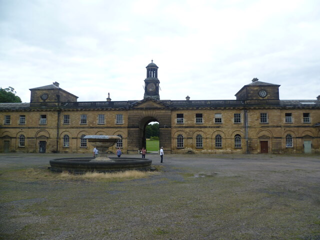
Wentworth Woodhouse
Wentworth Woodhouse is a Grade I listed country house in the village of Wentworth, in the Metropolitan Borough of Rotherham in South Yorkshire, England...
Nearby Amenities
Located within 500m of 53.48795,-1.3960242Have you been to Lea Brook?
Leave your review of Lea Brook below (or comments, questions and feedback).