Backford
Settlement in Cheshire
England
Backford
Backford is a small village located in the county of Cheshire, in the northwest of England. Situated approximately 5 miles north of the city of Chester, Backford is a rural settlement with an estimated population of around 800 residents.
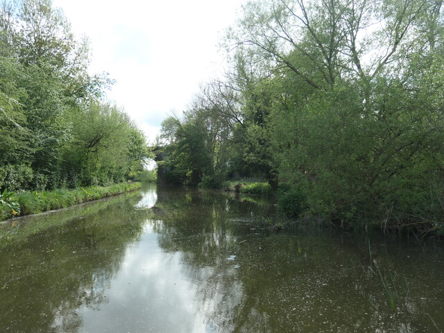
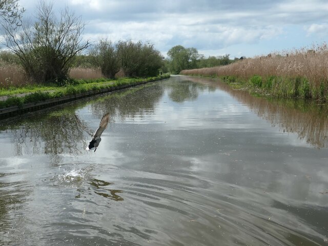
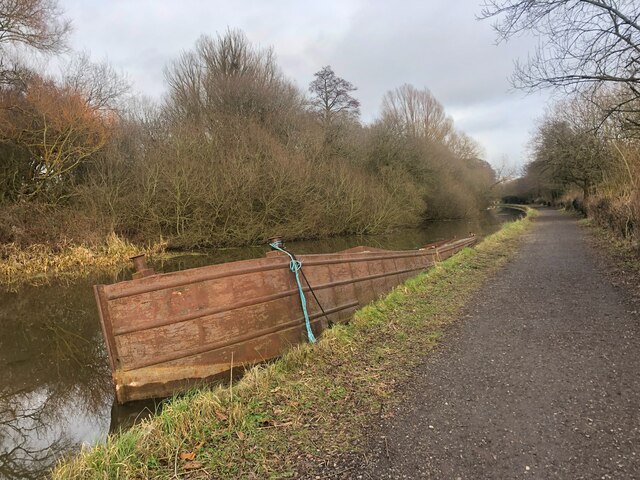
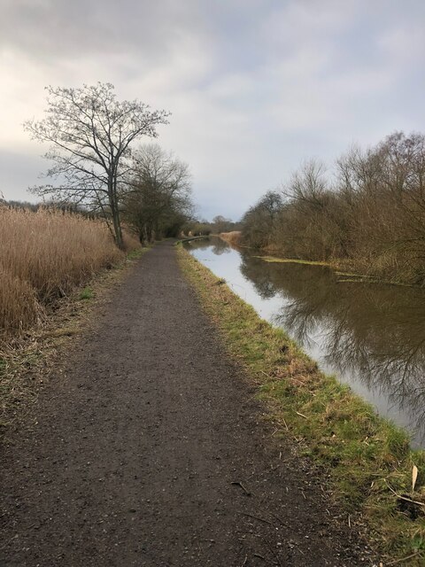
The village is characterized by its picturesque countryside landscapes, dotted with traditional Cheshire brick cottages and farmhouses. It is surrounded by lush green fields and farmland, which contribute to its tranquil and idyllic atmosphere. Backford benefits from its proximity to both the River Dee and the Shropshire Union Canal, offering residents and visitors opportunities for leisurely walks and scenic views.
Despite its small size, Backford boasts a rich history. The village is home to St. Oswald's Church, a Grade II listed building dating back to the 12th century. This ancient church features stunning stained glass windows and intricate architectural details, attracting history and architecture enthusiasts.
The village also benefits from its close proximity to the city of Chester, which offers a wide range of amenities including shops, restaurants, and cultural attractions. The city's famous Roman walls, Chester Cathedral, and the historic Rows are easily accessible from Backford, making it an ideal location for those seeking a peaceful countryside lifestyle with convenient access to urban amenities.
Overall, Backford offers a charming rural retreat with a strong sense of community and an abundance of natural beauty, making it an attractive place to live or visit for those seeking a slower-paced, countryside lifestyle.
If you have any feedback on the listing, please let us know in the comments section below.
Backford Images
Images are sourced within 2km of 53.239729/-2.901494 or Grid Reference SJ3971. Thanks to Geograph Open Source API. All images are credited.
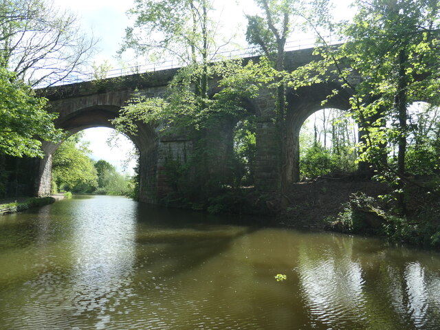


![Caughall Bridge [no 134], from the south-west Carrying a minor road over the Shropshire Union canal.](https://s3.geograph.org.uk/geophotos/07/55/97/7559727_a5f8f1ff.jpg)
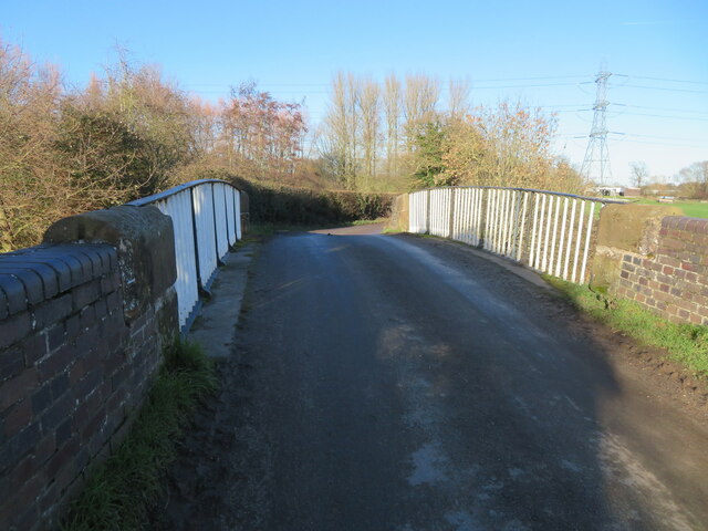
![Power lines crossing the Shropshire Union canal Just north of Caughall Bridge [no 134].](https://s1.geograph.org.uk/geophotos/07/55/97/7559729_cb151a7e.jpg)


Backford is located at Grid Ref: SJ3971 (Lat: 53.239729, Lng: -2.901494)
Unitary Authority: Cheshire West and Chester
Police Authority: Cheshire
What 3 Words
///duty.blur.puts. Near Mollington, Cheshire
Nearby Locations
Related Wikis

Backford Hall
Backford Hall is a country house in the village of Backford, Cheshire, England. It was built in the mid 19th Century on the site of earlier halls, and...

St Oswald's Church, Backford
St Oswald's Church is in the village of Backford, to the northwest of Chester, Cheshire, England, close to the A41 road and adjoining Backford Hall. It...

Backford
Backford is a village and civil parish in the unitary authority of Cheshire West and Chester and ceremonial county of Cheshire, England. It is situated...
Chorlton Hall, Backford
Chorlton Hall is a country house to the east of the village of Backford, Cheshire, England. It was formerly in the parish of Chorlton-by-Backford. The...
Nearby Amenities
Located within 500m of 53.239729,-2.901494Have you been to Backford?
Leave your review of Backford below (or comments, questions and feedback).