Backe
Settlement in Carmarthenshire
Wales
Backe
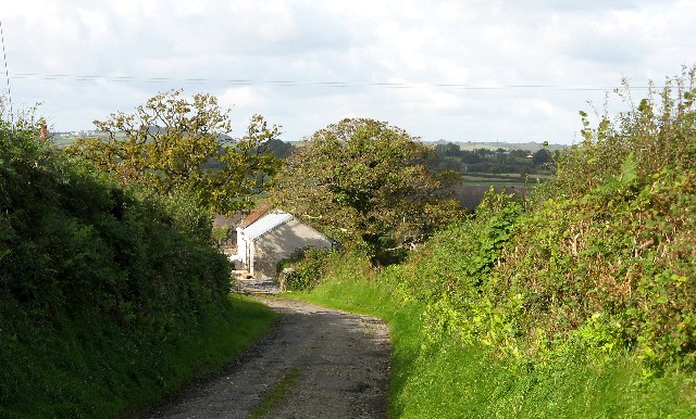
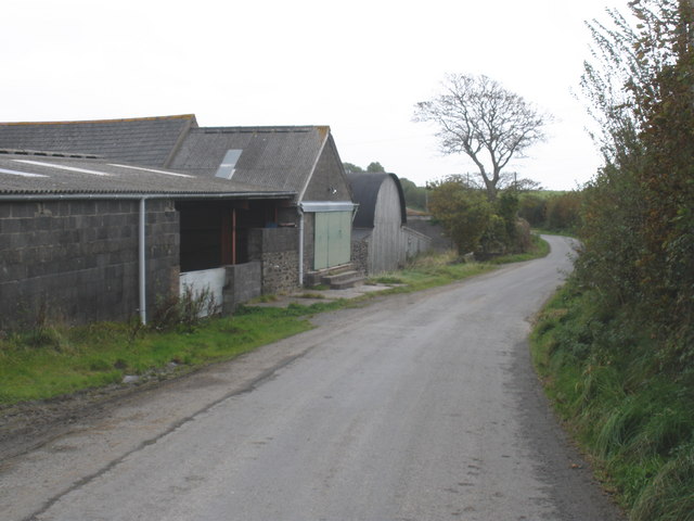
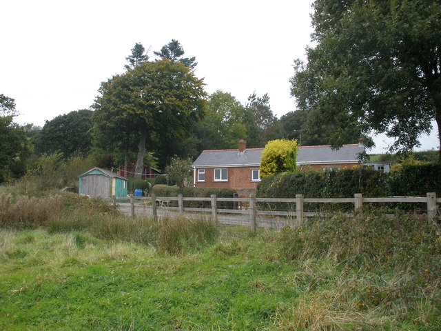
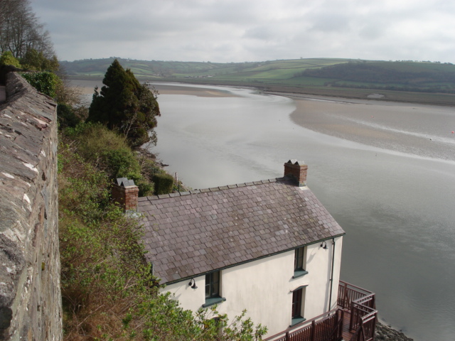
Backe is a small village located in Carmarthenshire, Wales. Situated in the western part of the county, it is nestled between rolling hills and picturesque countryside. With a population of around 500 residents, the village offers a peaceful and close-knit community atmosphere.
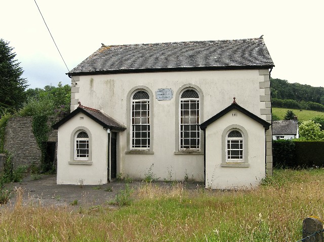
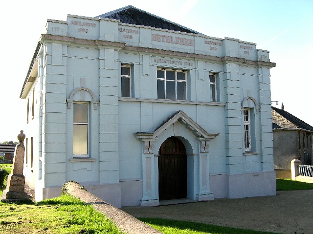
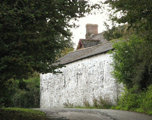
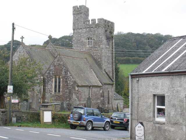
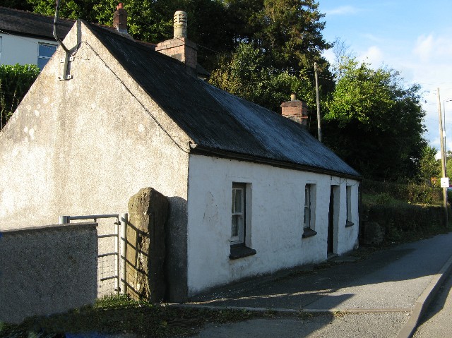
The village is known for its charming traditional Welsh architecture, featuring stone cottages and narrow streets. It has a rich history that can be traced back to medieval times, with historical landmarks such as St. John's Church, which dates back to the 13th century.
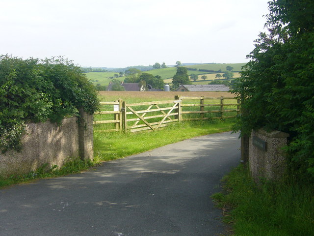
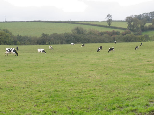
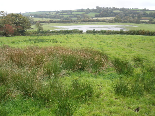
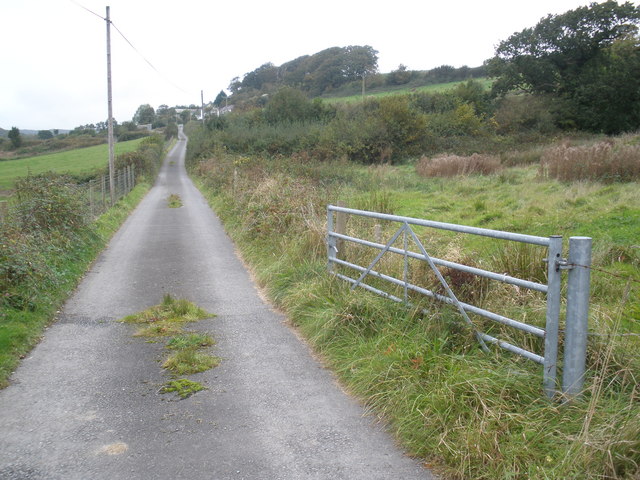
Backe is surrounded by stunning natural beauty, making it an ideal location for outdoor enthusiasts. The nearby Brechfa Forest provides ample opportunities for hiking, cycling, and horse riding, with its extensive network of trails. The village is also close to the River Tywi, offering fishing and boating activities.
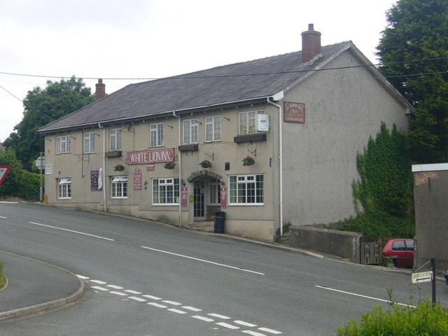
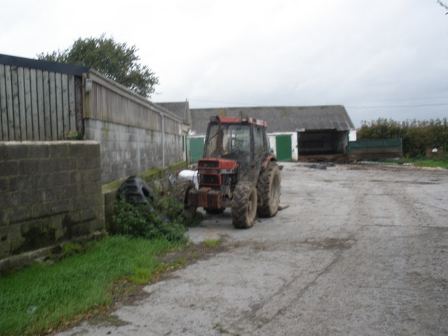
Although Backe is primarily a residential area, it has a few local amenities to cater to its residents' needs. These include a village hall, a small convenience store, and a pub that serves as a social hub for the community. For more extensive amenities, the town of Carmarthen is just a short drive away.
Overall, Backe is a tranquil and idyllic village, perfect for those seeking a peaceful rural lifestyle surrounded by natural beauty. Its historical charm and community spirit make it a desirable place to live or visit for those looking to escape the hustle and bustle of city life.
If you have any feedback on the listing, please let us know in the comments section below.
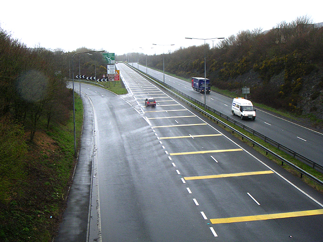
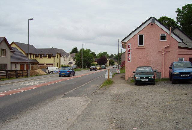
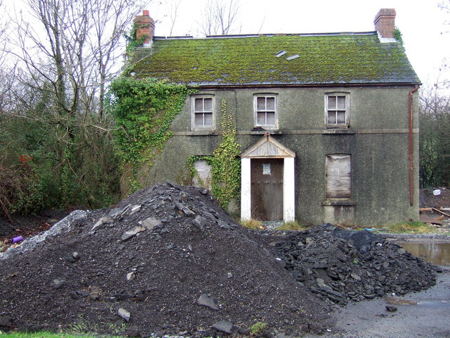
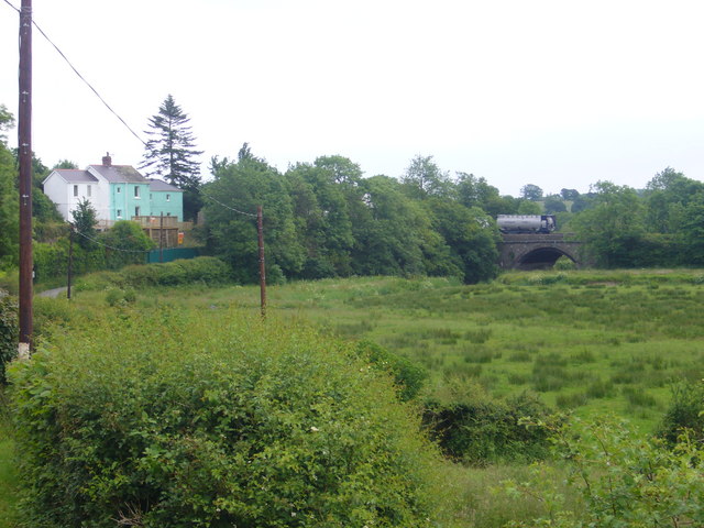
Backe Images
Images are sourced within 2km of 51.811105/-4.52628 or Grid Reference SN2515. Thanks to Geograph Open Source API. All images are credited.
Backe is located at Grid Ref: SN2515 (Lat: 51.811105, Lng: -4.52628)
Unitary Authority: Carmarthenshire
Police Authority: Dyfed Powys
What 3 Words
///loafing.gadgets.crunch. Near Llanddowror, Carmarthenshire
Nearby Locations
Related Wikis

Backe, Carmarthenshire
Backe (Welsh: Bace) is a small hamlet in Carmarthenshire, Wales.

Llanddowror
Llanddowror is a village and community in Carmarthenshire, Wales situated 2 miles (3 km) from St. Clears. Previously on the trunk road to Pembroke Dock...
St Clears
St Clears ( KLAIRZ; Welsh: Sanclêr) is a town on the River Taf and a community in Carmarthenshire, Wales. At the 2011 census, the population was 2,995...
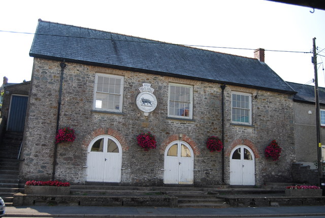
St Clears Town Hall
St Clears Town Hall (Welsh: Neuadd y Dref Sanclêr) is a municipal building in the High Street, St Clears, Carmarthenshire, Wales. The structure, which...
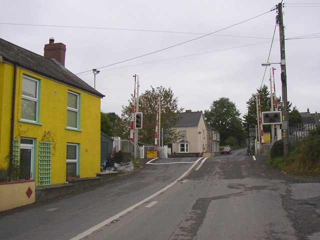
St Clears railway station
St Clears railway station served the small town of St Clears, Carmarthenshire, Wales between 1854 and 1964. It was on the West Wales Line. == History... ==
Great Western Railway in West Wales
The Great Western Railway was a railway company that was dominant in West Wales, in the United Kingdom. The main line from Swansea to Neyland, a port on...
River Taf
The River Taf (Welsh: Afon Taf) is a river in West Wales. It rises in the Preseli Hills, Pembrokeshire, and continues through Carmarthenshire to Laugharne...
Whitehill Down
Whitehill Down is a Site of Special Scientific Interest in Carmarthen & Dinefwr, Wales. == See also == List of Sites of Special Scientific Interest in...
Related Videos
THE MARSH CAMPSITE | ST CLEARS | 2022
Welcome to a new Vlog series, where we travel around the UK in our new (to us) campervan, we have named her My-VAN-We ...

We needed a BREAK (Van Life in Wales)
This week we treat ourselves to a campsite and a SHOWER ...a luxury understood by those who van life, especially in the UK.

Thunderbolt (2003 Footage and Front Seat POV) - Grove Land, St Clears, Wales
Thunderbolt is a Zierer Four Man Bob roller coaster that operated at the Grove Land amusement park in St Clears, Wales, from ...

Grove Land Memories - Grove Land Amusement Park (1994 to 2005) - St Clears Wales
I visited Grove Land amusement park in Carmarthenshire in 2003 on a return journey from Oakwood in Wales...the park existed ...
Nearby Amenities
Located within 500m of 51.811105,-4.52628Have you been to Backe?
Leave your review of Backe below (or comments, questions and feedback).