Langton

Settlement in Midlothian

Scotland

Langton

Cottage at Kirknewton In need of further attention - considerable deterioration in three years - see <a href="https://www.geograph.org.uk/photo/1049885">NT1067 : Cottage in need of attention</a> for comparison.
Cottage at Kirknewton Credit: M J Richardson

Langton is a small village located in the county of Midlothian, Scotland. Situated approximately 25 miles southeast of Edinburgh, Langton is surrounded by picturesque countryside with rolling hills and expansive fields. The village is known for its tranquil and rural atmosphere, making it an ideal place for those seeking a peaceful retreat from the hustle and bustle of city life.

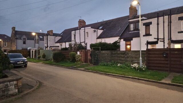
The village itself is compact, with a small number of residential properties and a few local amenities. It has a close-knit community that takes pride in preserving its traditional character. The architecture in Langton is predominantly traditional Scottish style, with charming stone cottages and houses dotting the streets.

Despite its small size, Langton offers a range of recreational activities for residents and visitors. The surrounding countryside provides ample opportunities for outdoor pursuits such as hiking, cycling, and wildlife spotting. Additionally, Langton is within easy reach of several golf courses and fishing spots, making it an attractive destination for sports enthusiasts.

While Langton may not have its own shops or services, it benefits from its proximity to nearby towns such as Dalkeith and Penicuik, where residents can access a wider range of amenities. The village is well-connected to these towns via public transportation, ensuring convenient access to essential facilities.

Overall, Langton is a quaint and peaceful village that offers a close community spirit and a tranquil setting. Its location amidst scenic countryside makes it an appealing place for nature lovers and those seeking a slower pace of life.

If you have any feedback on the listing, please let us know in the comments section below.
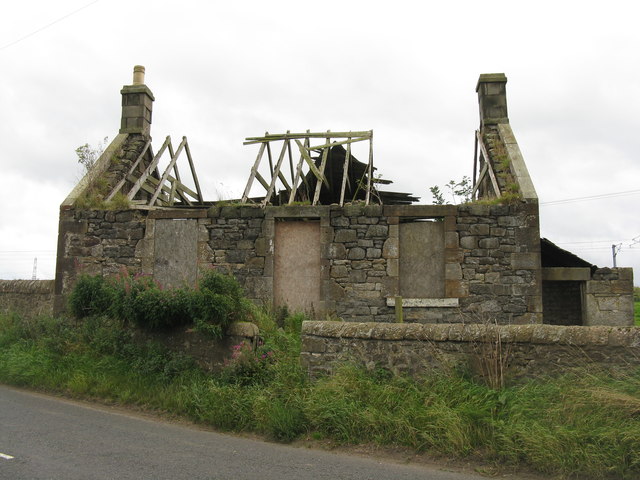
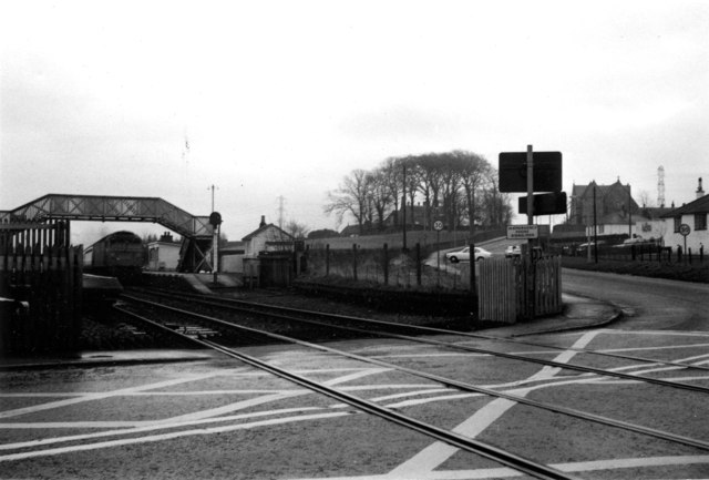
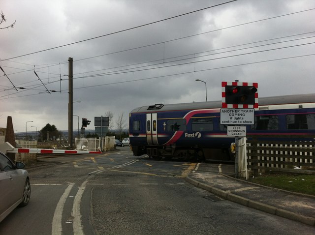
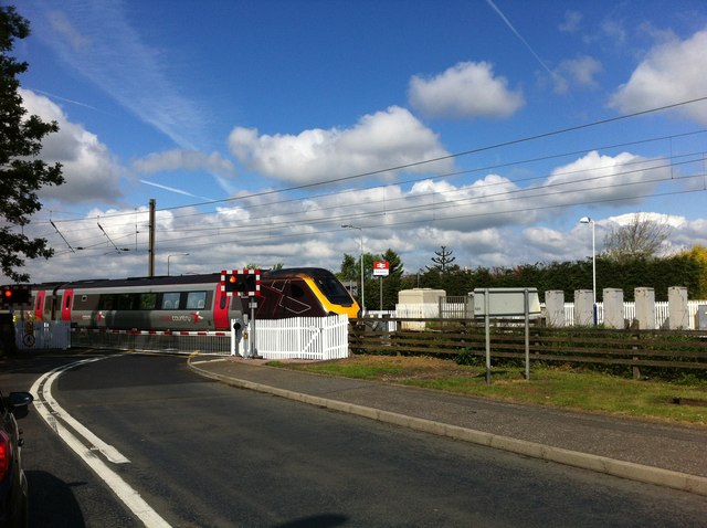
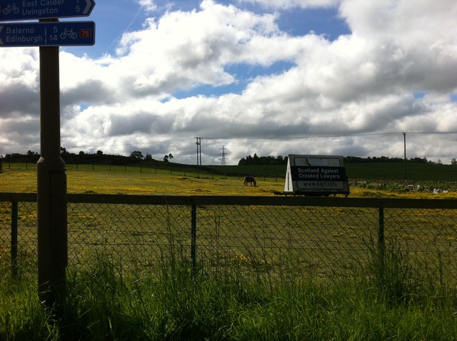
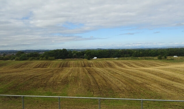
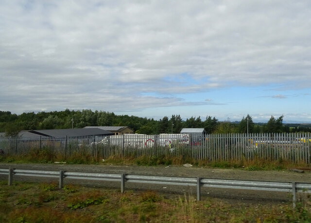
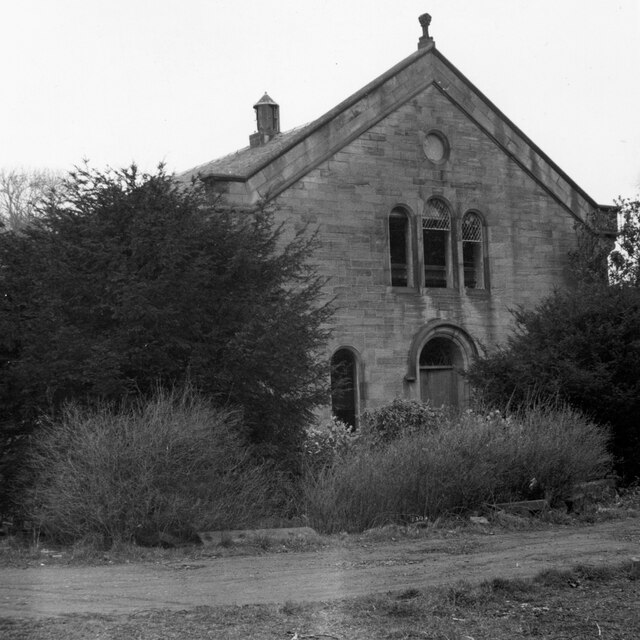
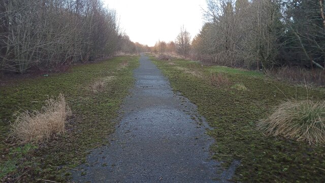
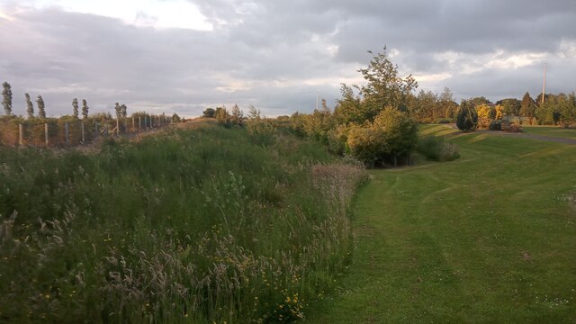
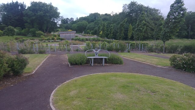
Langton Images

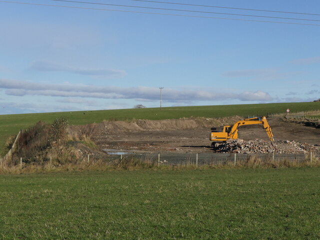
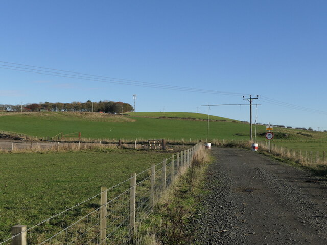
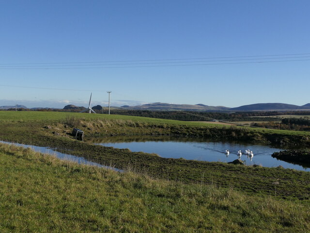
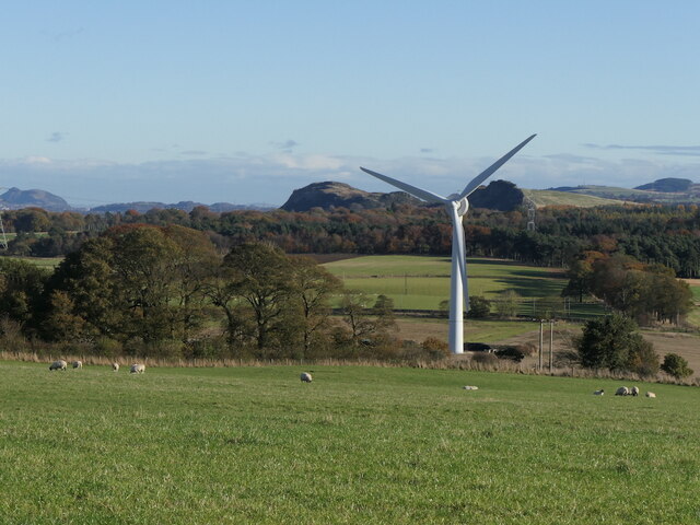
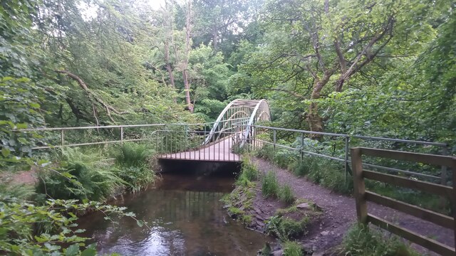
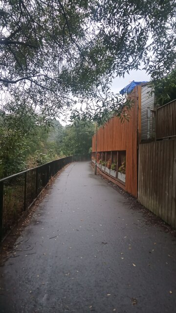
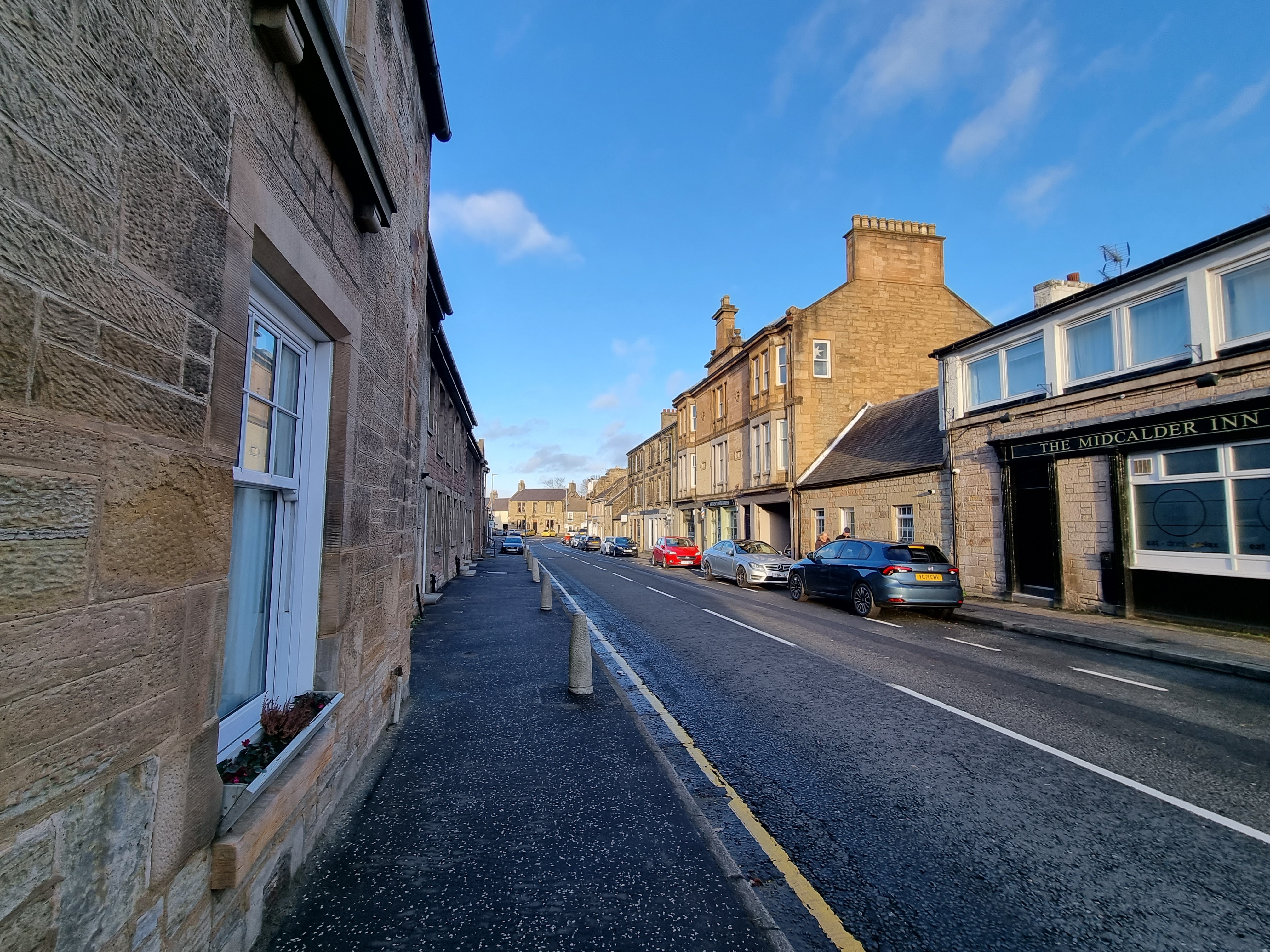
Images are sourced within 2km of 55.889105/-3.4605886 or Grid Reference NT0867. Thanks to Geograph Open Source API. All images are credited.

Cottage at Kirknewton In need of further attention - considerable deterioration in three years - see <a href="https://www.geograph.org.uk/photo/1049885">NT1067 : Cottage in need of attention</a> for comparison.
Cottage at Kirknewton
In need of further attention - considerable deterioration in three years - see NT1067 : Cottage in need of attention for comparison.
Midcalder Station and level crossing - 1978 At Kirknewton, and now known as Kirknewton Station, on the Edinburgh-Carstairs and Glasgow Central line. The nearest modern image is that of Michael Ely in 2010 <a href="https://www.geograph.org.uk/photo/2169767">NT1067 : Level crossing, Kirknewton station</a>. The photo was one of a series taken to obtain a cub scout's 'photographer' badge, on the theme of transport.
Midcalder Station and level crossing - 1978
At Kirknewton, and now known as Kirknewton Station, on the Edinburgh-Carstairs and Glasgow Central line. The nearest modern image is that of Michael Ely in 2010 NT1067 : Level crossing, Kirknewton station. The photo was one of a series taken to obtain a cub scout's 'photographer' badge, on the theme of transport.
Train crossing Station Road at Kirknewton
Train crossing at Kirknewton station
Hillside at Kirknewton
Undulating stubble field towards East Calder
Track beside railway, Oakbank
Park Avenue, East Calder Park Avenue is a very short dead-end street, though there is one of those triangular metal gates designed to stop vehicles at the end of it. The gate leads to the park.
All the white walls are on the backs of houses whose official addresses are Main Street, although only the houses on the far left of the picture are actually on it. The terraced row occupying the bulk of the picture is made up of five houses - 49 to 57 Main Street - and they can be accessed through a gap past the hedge at the end, or further along the main road. I had a nose, as I seem to have developed a thing lately about jumbled up old houses just off main roads, and was pleased to see there was the obligatory mysteriously large old brick outbuilding there too.
According to the maps the terraced houses, along with their square jutty-out bits, were built at some point between 1893 and 1905.
Park Avenue, East Calder
Park Avenue is a very short dead-end street, though there is one of those triangular metal gates designed to stop vehicles at the end of it. The gate leads to the park. All the white walls are on the backs of houses whose official addresses are Main Street, although only the houses on the far left of the picture are actually on it. The terraced row occupying the bulk of the picture is made up of five houses - 49 to 57 Main Street - and they can be accessed through a gap past the hedge at the end, or further along the main road. I had a nose, as I seem to have developed a thing lately about jumbled up old houses just off main roads, and was pleased to see there was the obligatory mysteriously large old brick outbuilding there too. According to the maps the terraced houses, along with their square jutty-out bits, were built at some point between 1893 and 1905.
Groundworks near Selms
Selms Tops Signs on the road hint at industrial use, but it was just very calm farmland today. There has been some groundworks off image to the left.
Selms Tops
Signs on the road hint at industrial use, but it was just very calm farmland today. There has been some groundworks off image to the left.
Pond, Selms Tops
Pond, Selms Tops
Wind turbine, Lawheads
United Presbyterian Church, Midcalder As seen in Winter 1973/4 when it was disused and semi-derelict. In May 1854 it replaced the original 1765 church on the site, which was becoming unsafe. It was subsequently demolished and the stone used to build a new house that incorporated a cottage on Pumpherston Road, which had been a post-medieval Toll House.
United Presbyterian Church, Midcalder
As seen in Winter 1973/4 when it was disused and semi-derelict. In May 1854 it replaced the original 1765 church on the site, which was becoming unsafe. It was subsequently demolished and the stone used to build a new house that incorporated a cottage on Pumpherston Road, which had been a post-medieval Toll House.
Some Modern Archeology This place has a slightly eerie feel to it, but is unconnected with the demolished old mining village of Oakbank - the former main road of Oakbank runs parallel to this track and is now a footpath leading to a dead-end road.
There used to be a large poultry farm here. I can only assume that the exposed tarmac is down to people walking their dogs through the centre of the site, as underneath the moss and grass there is tarmac too. I haven't done any major research, but think the farm ceased to be 10 to 15 years ago, possibly due to laws on chicken farming becoming more stringent around that time.
It is described online as having been a broiler farm. 'Broil' is American English for 'grill'. I suppose language evolves over time, especially in the melting pot of America, and original meanings get lost, but with regard to chickens here, broilers are chickens raised for their meat as opposed to their eggs. There are about two and half chickens to every person in Scotland, a far higher ratio than for any other farmed animal. And one online newspaper article says that 300 chickens are killed for every one cow for our diet at present. Food for thought.
Some Modern Archeology
This place has a slightly eerie feel to it, but is unconnected with the demolished old mining village of Oakbank - the former main road of Oakbank runs parallel to this track and is now a footpath leading to a dead-end road. There used to be a large poultry farm here. I can only assume that the exposed tarmac is down to people walking their dogs through the centre of the site, as underneath the moss and grass there is tarmac too. I haven't done any major research, but think the farm ceased to be 10 to 15 years ago, possibly due to laws on chicken farming becoming more stringent around that time. It is described online as having been a broiler farm. 'Broil' is American English for 'grill'. I suppose language evolves over time, especially in the melting pot of America, and original meanings get lost, but with regard to chickens here, broilers are chickens raised for their meat as opposed to their eggs. There are about two and half chickens to every person in Scotland, a far higher ratio than for any other farmed animal. And one online newspaper article says that 300 chickens are killed for every one cow for our diet at present. Food for thought.
A Swale This is a swale. The definition of a swale, when requested from the internet, almost always gives a definition like : 'a low or hollow place, especially a marshy depression between ridges'. The only time I have ever come across the word though, is to describe  a man-made thing, which mitigates flooding. They are kind of budget balancing ponds. In urban settings the water that gathers in them always gets directed straight into drains. In settings like this (a recently built cemetery) what happens to the water is not so clear. I think it just gathers in the dip and slowly infiltrates into the ground below, so as to avoid flooding issues created by high water runoff during heavy downpours.
The picture is a bit of an optical illusion. Whilst it looks like the low trees are growing out of the lowest ground they are not. The ground is actually lower to the left amongst the tall grass. It wasn't actually that wet in there, but in horse-racing terms the going would be described as soft.
A Swale
This is a swale. The definition of a swale, when requested from the internet, almost always gives a definition like : 'a low or hollow place, especially a marshy depression between ridges'. The only time I have ever come across the word though, is to describe a man-made thing, which mitigates flooding. They are kind of budget balancing ponds. In urban settings the water that gathers in them always gets directed straight into drains. In settings like this (a recently built cemetery) what happens to the water is not so clear. I think it just gathers in the dip and slowly infiltrates into the ground below, so as to avoid flooding issues created by high water runoff during heavy downpours. The picture is a bit of an optical illusion. Whilst it looks like the low trees are growing out of the lowest ground they are not. The ground is actually lower to the left amongst the tall grass. It wasn't actually that wet in there, but in horse-racing terms the going would be described as soft.
A Baby Burial Ground This is an area of the new Almondell Cemetery, at the East end of East Calder, reserved for, as far as I can gather, miscarried and stillborn babies. The bench in the picture was donated by a charity called Sands, which stands for 'Stillborn And Neonatal DeathS' I think, or at least something very similar. The reason I think it must also cover miscarriages is that their online guidance talks about ashes from very young unborn babies  - for some reason 17 weeks is a cut-off point, presumably because on average bones don't become bones as we know them until this point.
Until walking around the new cemetery today I had never really thought in depth about such things, but I'm wondering if it is a designated area due to the fact that that, officially, a person cannot be declared to be dead if they have never lived. If so, it seems to me a very good development. Whilst there were only two gravestones in this area when I visited, there were only about 40 'normal' graves in other areas, which provides a sobering remunder of how widespread this occurrence and the  resulting heartache is.
A Baby Burial Ground
This is an area of the new Almondell Cemetery, at the East end of East Calder, reserved for, as far as I can gather, miscarried and stillborn babies. The bench in the picture was donated by a charity called Sands, which stands for 'Stillborn And Neonatal DeathS' I think, or at least something very similar. The reason I think it must also cover miscarriages is that their online guidance talks about ashes from very young unborn babies - for some reason 17 weeks is a cut-off point, presumably because on average bones don't become bones as we know them until this point. Until walking around the new cemetery today I had never really thought in depth about such things, but I'm wondering if it is a designated area due to the fact that that, officially, a person cannot be declared to be dead if they have never lived. If so, it seems to me a very good development. Whilst there were only two gravestones in this area when I visited, there were only about 40 'normal' graves in other areas, which provides a sobering remunder of how widespread this occurrence and the resulting heartache is.
A Bridge amongst Bridges These must be fairly rare, considering how many bridges there actually are in Britain. Not only does it transport water across a small river, you can also walk across it too - planks have been put down above the water.
This is officially called the 'Canal Feeder Bridge'. About a mile upstream water is diverted from the River Almond. It continues its journey from there to the canal by way of this bridge, often running almost parallel to the river.
In order to maintain their required water levels, canals have both feeders and overflows. There are several contributors to this site who are canal experts; I am not one of them. So I am not sure if the fact that this canal feeder meets the canal within a hunded yards or so of its overflow is designed, unusual, or irrelevant. The overflow flows back into this same river on an impressively high aquaeduct, and there is a famous old picture of the waterfall having turned to ice in a distant bad winter.
A Bridge amongst Bridges
These must be fairly rare, considering how many bridges there actually are in Britain. Not only does it transport water across a small river, you can also walk across it too - planks have been put down above the water. This is officially called the 'Canal Feeder Bridge'. About a mile upstream water is diverted from the River Almond. It continues its journey from there to the canal by way of this bridge, often running almost parallel to the river. In order to maintain their required water levels, canals have both feeders and overflows. There are several contributors to this site who are canal experts; I am not one of them. So I am not sure if the fact that this canal feeder meets the canal within a hunded yards or so of its overflow is designed, unusual, or irrelevant. The overflow flows back into this same river on an impressively high aquaeduct, and there is a famous old picture of the waterfall having turned to ice in a distant bad winter.
Fence Boxes Maybe I will be credited in the Oxford English Dictionary in a few years time for coining this phrase if it becomes a regular thing in the future. I imagine this isn't the first time this has been done, but it is the first time I have seen it. Fence boxes are like window boxes, but in a fence as opposed to underneath a window! They are so well done here that it is a pity that a lot of the plants in them are dying or dead. But it has been very hot lately, and life always gets in the way of good ideas, as everybody knows.
The tarmacked path leads from the end of a cul-de-sac in Mid Calder that, as was the fashion for a while, changes its name at a certain point along its length. At this point the houses are on Wallace Mill Gardens, which is an extension of Almondside, but the path is just plain old 'Almond Path'. The River Almond flows downstream, looking in this direction, below the railings on the left.
Fence Boxes
Maybe I will be credited in the Oxford English Dictionary in a few years time for coining this phrase if it becomes a regular thing in the future. I imagine this isn't the first time this has been done, but it is the first time I have seen it. Fence boxes are like window boxes, but in a fence as opposed to underneath a window! They are so well done here that it is a pity that a lot of the plants in them are dying or dead. But it has been very hot lately, and life always gets in the way of good ideas, as everybody knows. The tarmacked path leads from the end of a cul-de-sac in Mid Calder that, as was the fashion for a while, changes its name at a certain point along its length. At this point the houses are on Wallace Mill Gardens, which is an extension of Almondside, but the path is just plain old 'Almond Path'. The River Almond flows downstream, looking in this direction, below the railings on the left.
Show me another place!

Langton is located at Grid Ref: NT0867 (Lat: 55.889105, Lng: -3.4605886)

Unitary Authority: West Lothian

Police Authority: The Lothians and Scottish Borders

What 3 Words

///added.luckier.applauded. Near East Calder, West Lothian

Related Wikis

East Calder

East Calder is a village located in West Lothian, Scotland, about a mile east of Mid Calder and a mile west of Wilkieston. It forms part of 'the Calders...

Almondell Viaduct

The Almondell Viaduct, also known as the Camps Viaduct, is a viaduct spanning the gorge of the River Almond in Scotland, located in East Calder, West Lothian...

Mid Calder

Mid Calder (Scots: Mid Calder; Scottish Gaelic: Caladar Mheadhain) is a village in West Lothian, Scotland. It is located on a steep hill overlooking the...

Almondell and Calderwood Country Park

Almondell and Calderwood Country Park is a 220-acre (0.89 km2) Country Park in Mid Calder and East Calder in West Lothian, Scotland. It is a 4 star Visitor...

Nearby Amenities

Located within 500m of 55.889105,-3.4605886
Mini Roundabout
Direction: clockwise
Lat/Long: 55.8891229/-3.4605575
Crossing
Crossing: traffic_signals
Crossing Ref: pelican
Lat/Long: 55.8900677/-3.4566216
Turning Circle
Lat/Long: 55.884791/-3.4622487
Power: tower
Lat/Long: 55.8867764/-3.4646931
Power: tower
Lat/Long: 55.8879349/-3.4597086
Power: tower
Lat/Long: 55.888861/-3.4557307
Noexit: yes
Lat/Long: 55.8886111/-3.4668505
Entrance: main
Lat/Long: 55.890932/-3.4575357
Recycling
Recycling Clothes: yes
Recycling Glass: yes
Lat/Long: 55.8905481/-3.4571449
Barrier: bollard
Bicycle: yes
Foot: yes
Lat/Long: 55.8886509/-3.4629847
Post Box
Collection Times: Mo-Fr 09:00; Sa 07:00
Operator: Royal Mail
Post Box Type: pillar
Ref: EH53 34D
Royal Cypher: scottish_crown
Lat/Long: 55.8912902/-3.464308
Post Box
Collection Times: Mo-Fr 09:00; Sa 07:00
Operator: Royal Mail
Post Box Type: pillar
Ref: EH53 31D
Royal Cypher: scottish_crown
Lat/Long: 55.8893252/-3.4585512
Driving School
Scorrybreck Driver Training
Lat/Long: 55.8879304/-3.4589071
Addr Housenumber: 28
Addr Street: Mansefield
Lat/Long: 55.8932677/-3.4629287
Addr City: East Calder
Addr Housenumber: 1
Addr Postcode: EH53 0UP
Addr Street: Ben Chonzie Drive
Lat/Long: 55.8921251/-3.4547244
Bus Stop
Bench: yes
Shelter: yes
Tactile Paving: no
Lat/Long: 55.8895142/-3.4590438
Bus Stop
Bench: yes
Bin: yes
Shelter: yes
Tactile Paving: yes
Lat/Long: 55.889642/-3.4581909
The data included in this document is from www.openstreetmap.org. The data is made available under ODbL.

Have you been to Langton?

Leave your review of Langton below (or comments, questions and feedback).