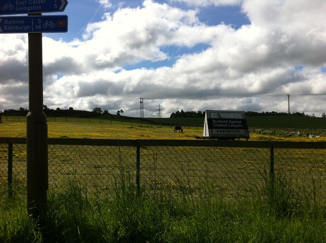
East Calder
Settlement in Midlothian
Scotland
East Calder
East Calder is a small village located in the county of Midlothian, Scotland. Situated approximately 10 miles west of Edinburgh, it is part of the West Lothian council area. The village is nestled between the A71 road and the River Almond, providing easy access to both the capital city and the picturesque countryside.
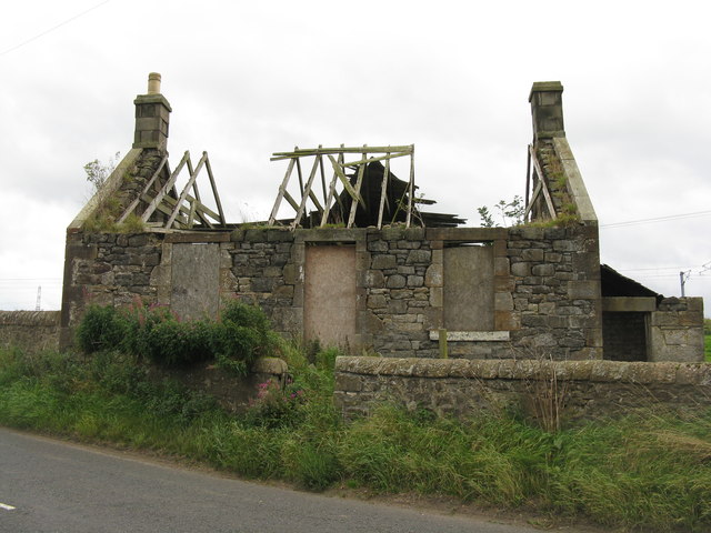
East Calder is a historic village with a rich heritage dating back to the 12th century. It was primarily an agricultural community, but has seen significant development and expansion in recent years. The village now offers a mix of traditional and modern residential properties, attracting families and commuters alike.
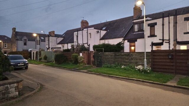
The heart of East Calder is its town center, which features a range of amenities including local shops, cafes, and restaurants. There is also a primary school, a library, and a community center, providing essential services and facilities for residents.
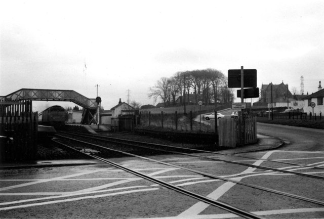
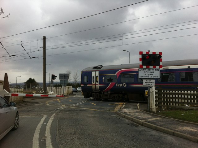
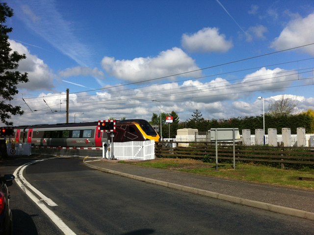
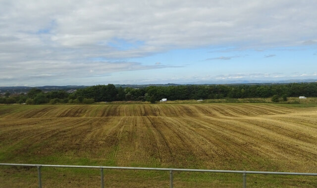
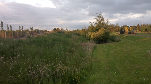
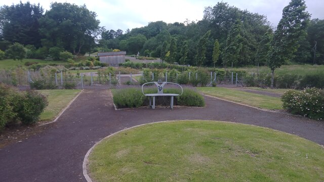
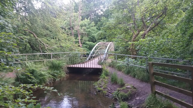
For outdoor enthusiasts, East Calder boasts beautiful natural surroundings. The River Almond and nearby Almondell and Calderwood Country Park offer opportunities for walking, cycling, and enjoying the scenic landscapes. The village also benefits from excellent transport links, with regular bus services connecting to nearby towns and cities.
East Calder is a close-knit community with a friendly and welcoming atmosphere. The village hosts various events throughout the year, including a popular summer gala day, which brings the community together.
In summary, East Calder is a charming village with a mix of historical and modern features. With its convenient location, stunning natural surroundings, and strong sense of community, it offers an attractive place to live or visit.
If you have any feedback on the listing, please let us know in the comments section below.
East Calder Images
Images are sourced within 2km of 55.896141/-3.462137 or Grid Reference NT0867. Thanks to Geograph Open Source API. All images are credited.


East Calder is located at Grid Ref: NT0867 (Lat: 55.896141, Lng: -3.462137)
Unitary Authority: West Lothian
Police Authority: The Lothians and Scottish Borders
What 3 Words
///blizzard.slurping.baseless. Near East Calder, West Lothian
Nearby Locations
Related Wikis

East Calder
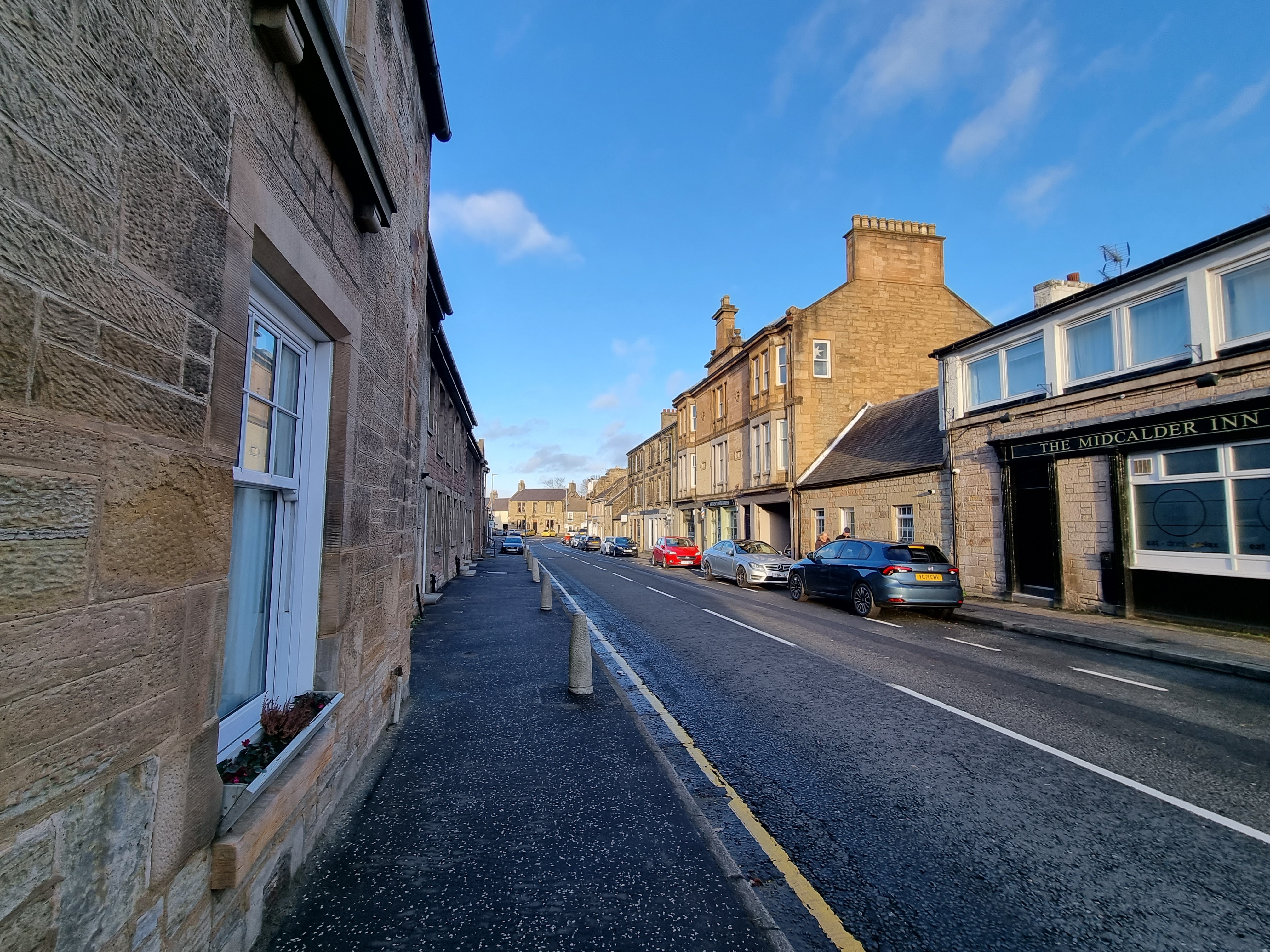
East Calder is a village located in West Lothian, Scotland, about a mile east of Mid Calder and a mile west of Wilkieston. It forms part of 'the Calders...

Almondell Viaduct
The Almondell Viaduct, also known as the Camps Viaduct, is a viaduct spanning the gorge of the River Almond in Scotland, located in East Calder, West Lothian...

Almondell and Calderwood Country Park
Almondell and Calderwood Country Park is a 220-acre (0.89 km2) Country Park in Mid Calder and East Calder in West Lothian, Scotland. It is a 4 star Visitor...
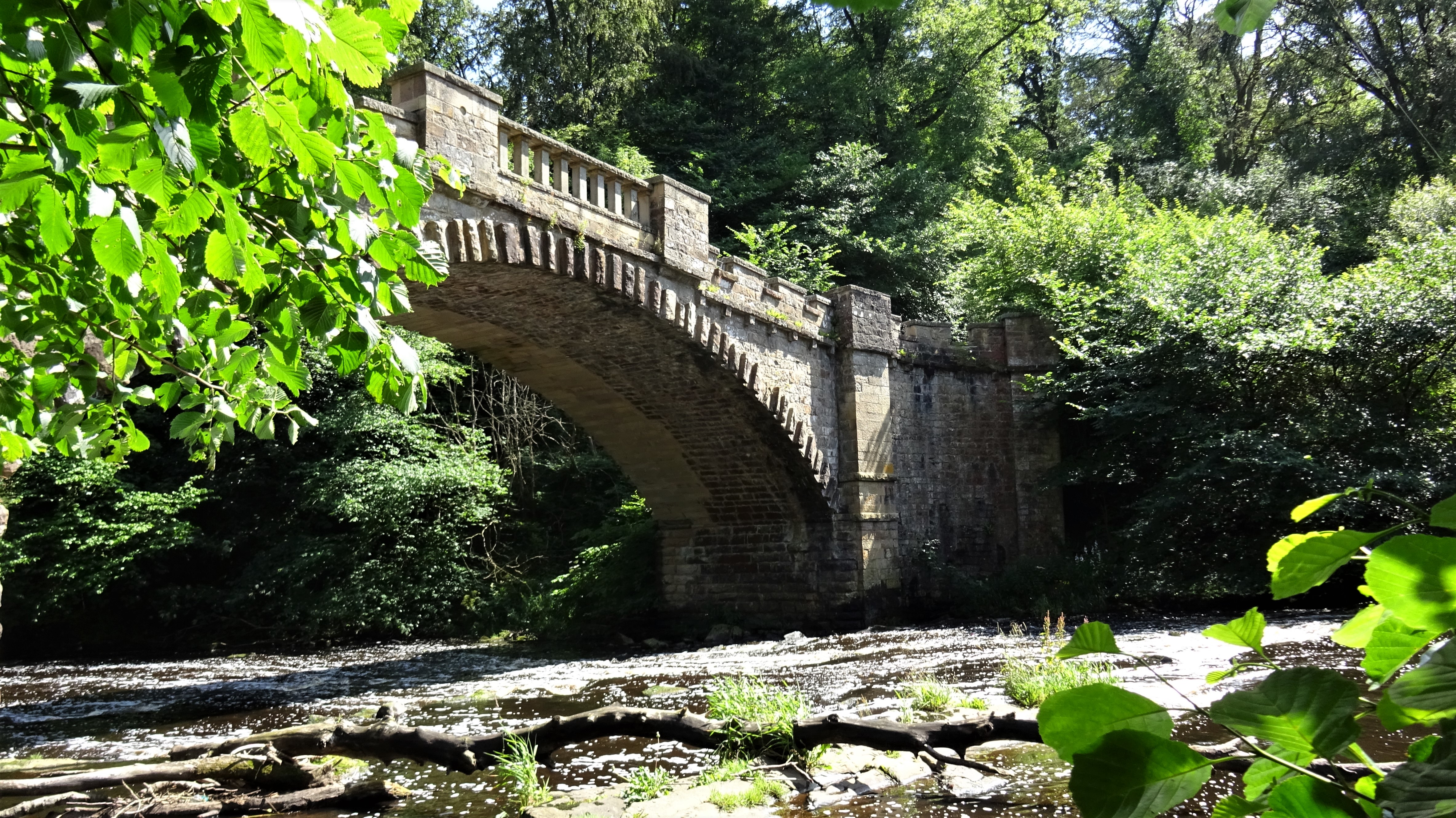
Nasmyth Bridge
The Nasmyth Bridge (also known as the Almondell Bridge) is a Category A Listed historic bridge and local landmark in East Calder, Scotland. Located within...
Mid Calder
Mid Calder (Scots: Mid Calder; Scottish Gaelic: Caladar Mheadhain) is a village in West Lothian, Scotland. It is located on a steep hill overlooking the...
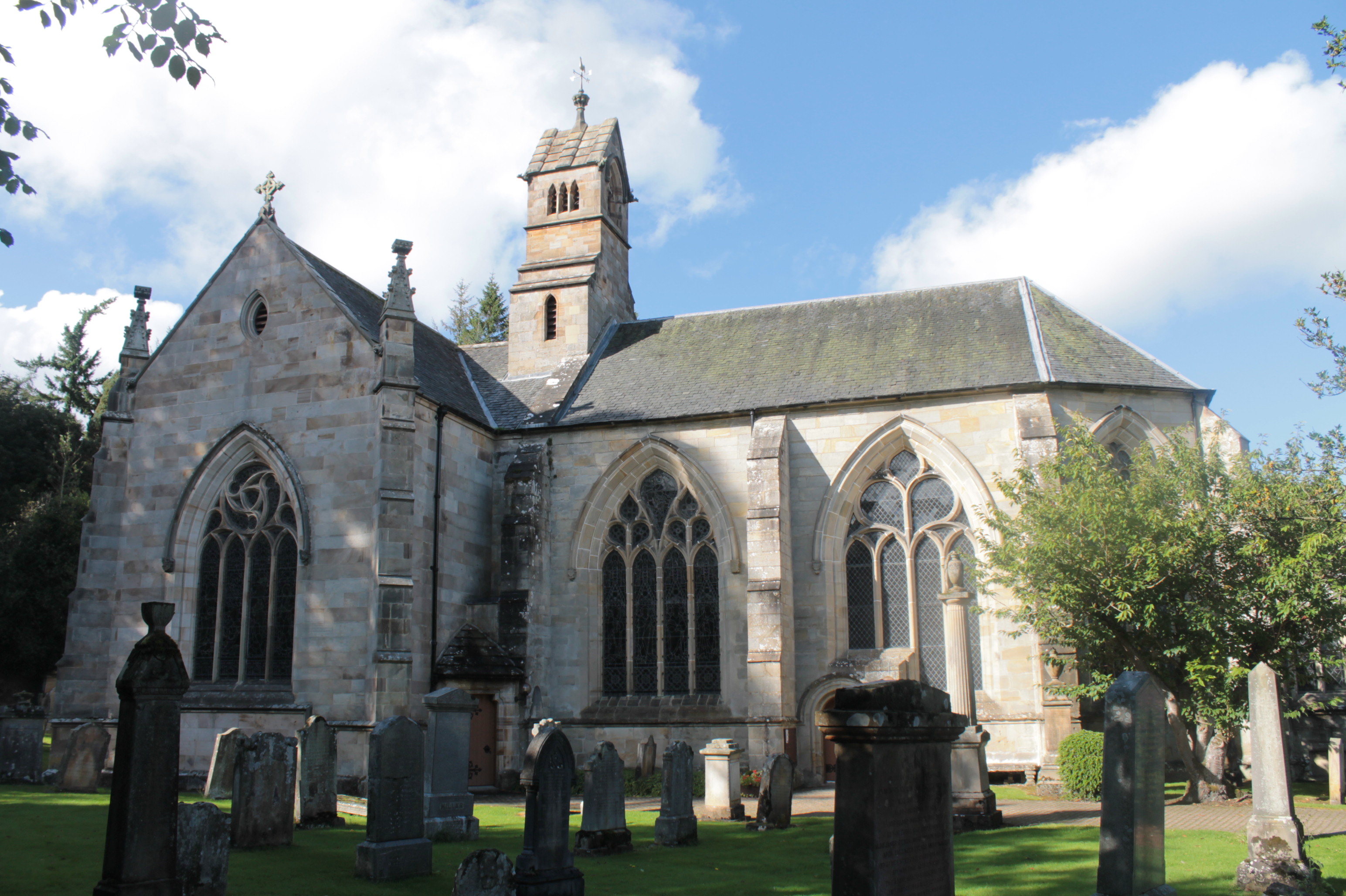
Kirk of Calder
Kirk of Calder is a medieval church in Mid Calder, West Lothian. It is listed as a Category A building by Historic Environment Scotland. The church is...
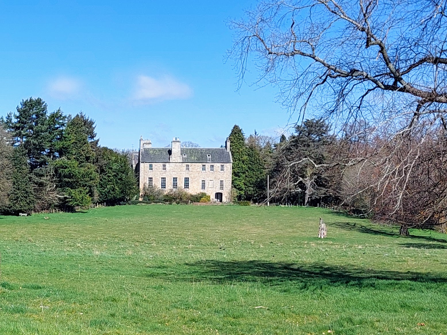
Calder House
Calder House is a historic Scottish country house in Mid Calder, Scotland, the family seat of the Sandilands family since 1348, and deemed to be one of...

Pumpherston
Pumpherston is a village in West Lothian, Scotland. Originally a small industrial village housing works for the nearby shale mine and works, it now forms...
Nearby Amenities
Located within 500m of 55.896141,-3.462137Have you been to East Calder?
Leave your review of East Calder below (or comments, questions and feedback).