Calder, East
Settlement in Midlothian
Scotland
Calder, East
Calder is a small village located in East Midlothian, Scotland. Situated approximately 10 miles southeast of Edinburgh, Calder falls within the jurisdiction of Midlothian Council. The village is nestled amidst the beautiful countryside, offering residents and visitors a serene and picturesque setting.
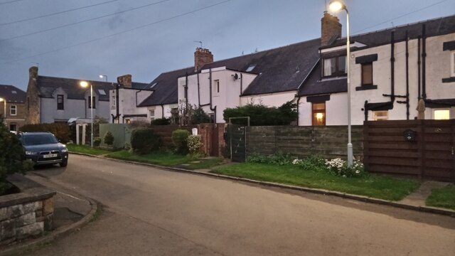
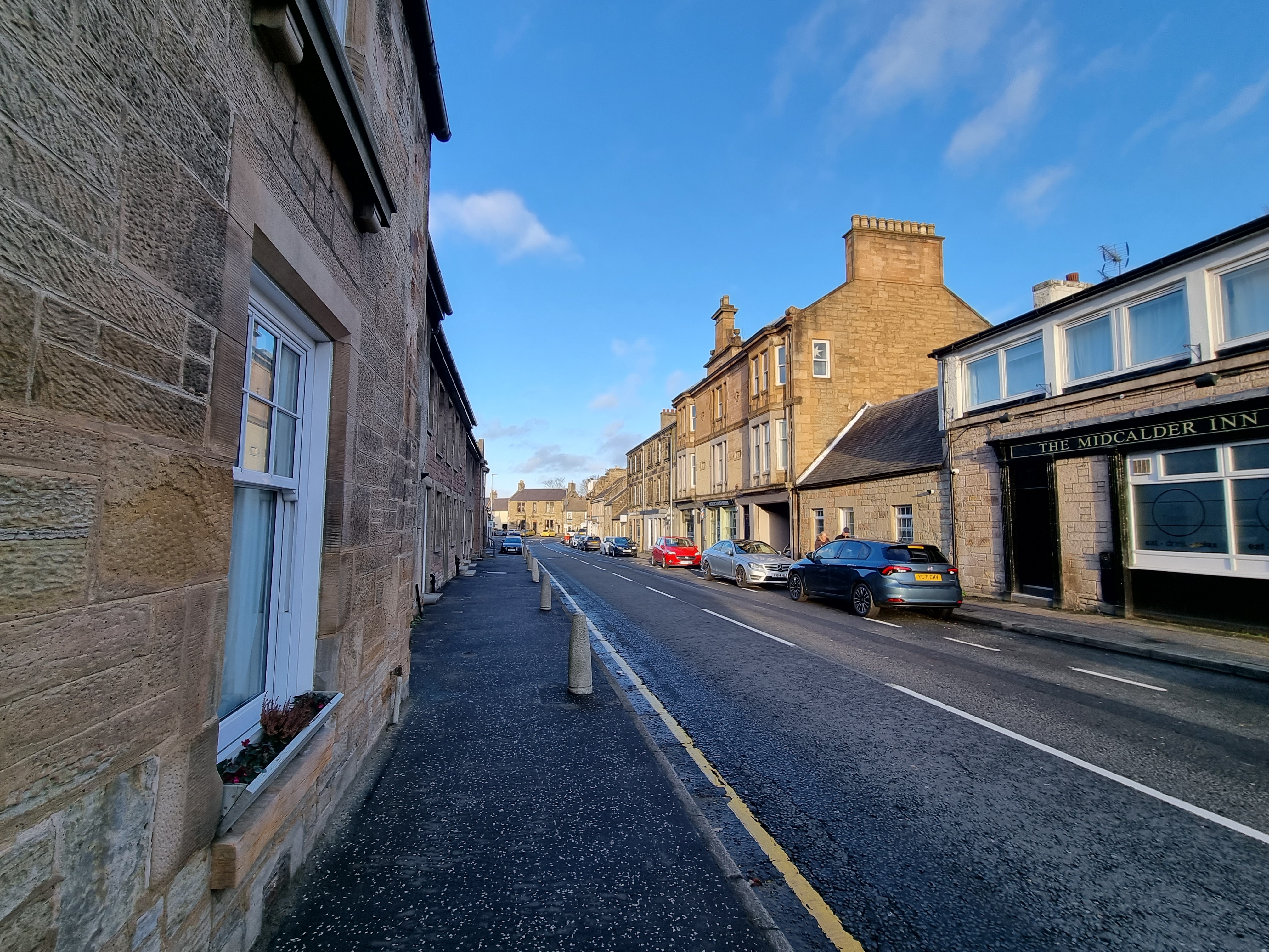
Calder is known for its quaint and charming atmosphere, with traditional stone buildings lining the streets. The village is home to a close-knit community, fostering a strong sense of belonging and community spirit. Residents enjoy a peaceful and rural lifestyle, while still benefiting from convenient access to nearby amenities and services.
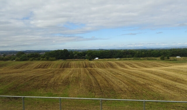
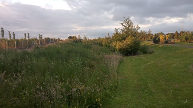
The surrounding countryside provides ample opportunities for outdoor activities, such as hiking, cycling, and fishing. The village is located near the River Tyne, which flows through the area, adding to the scenic beauty of Calder. The nearby Pentland Hills Regional Park offers stunning landscapes and a variety of recreational activities for nature enthusiasts.
Despite its small size, Calder boasts a rich history that can be explored through its historic landmarks and buildings. The 12th-century Calder House, a Category A listed building, is a prominent feature of the village. Other notable attractions include the nearby Crichton Castle and the National Mining Museum Scotland, which is located a short distance away.
In terms of amenities, Calder is home to a primary school, providing education for local children. Nearby towns and villages offer additional facilities, including shops, supermarkets, healthcare services, and leisure centers. With its idyllic setting and strong community spirit, Calder offers a peaceful and welcoming environment for residents and visitors alike.
If you have any feedback on the listing, please let us know in the comments section below.
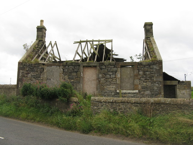
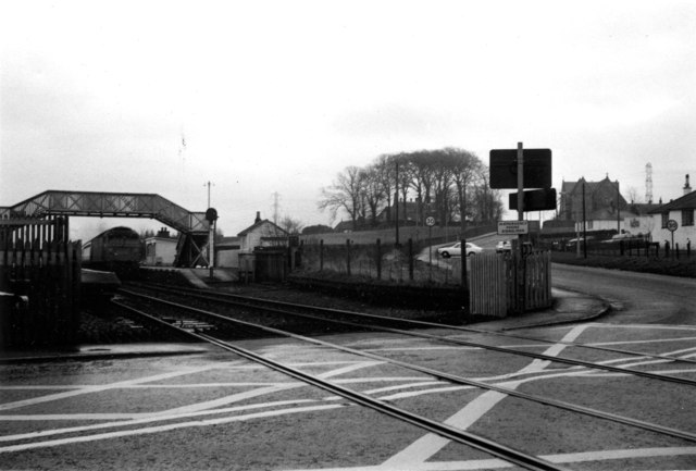
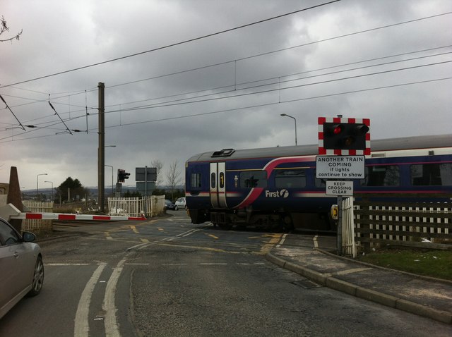
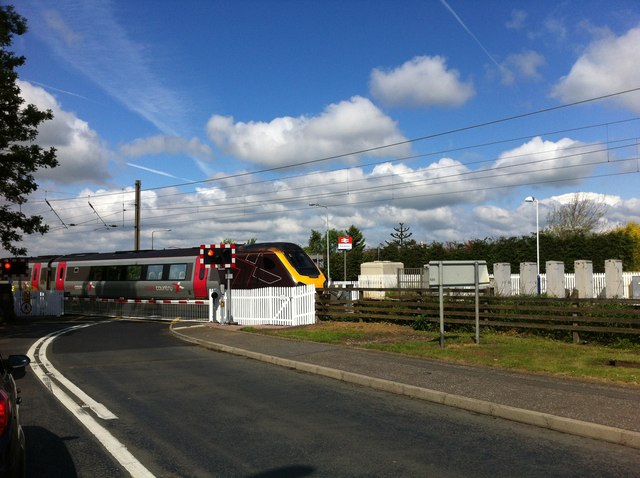
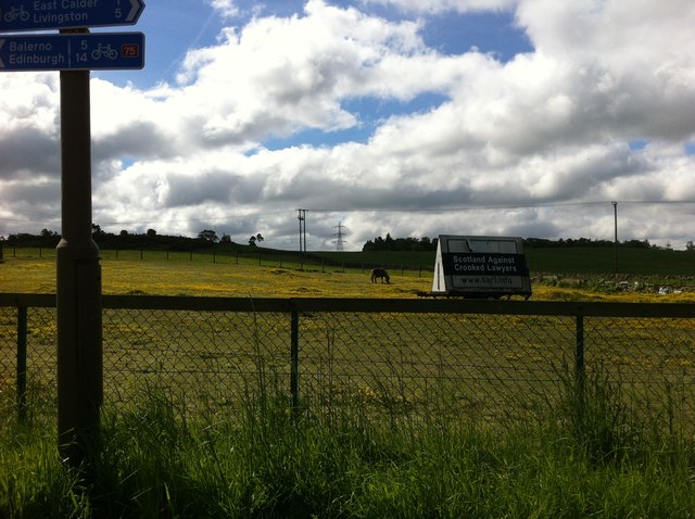
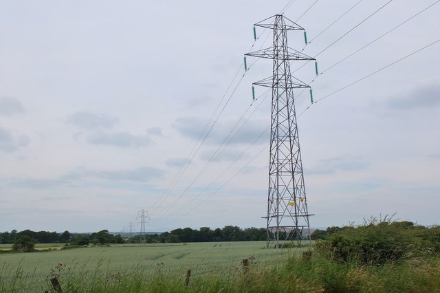
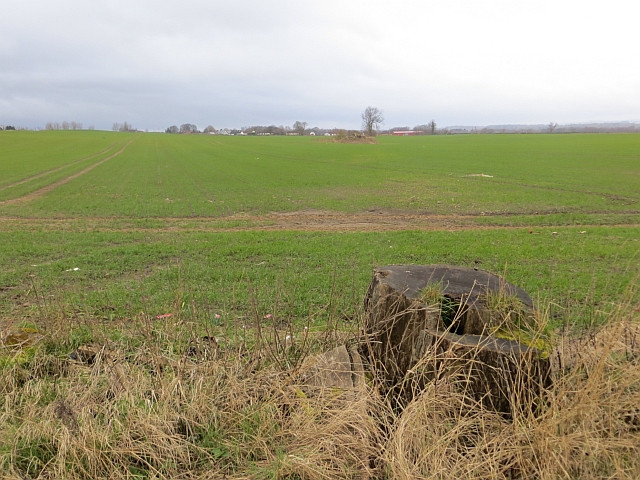
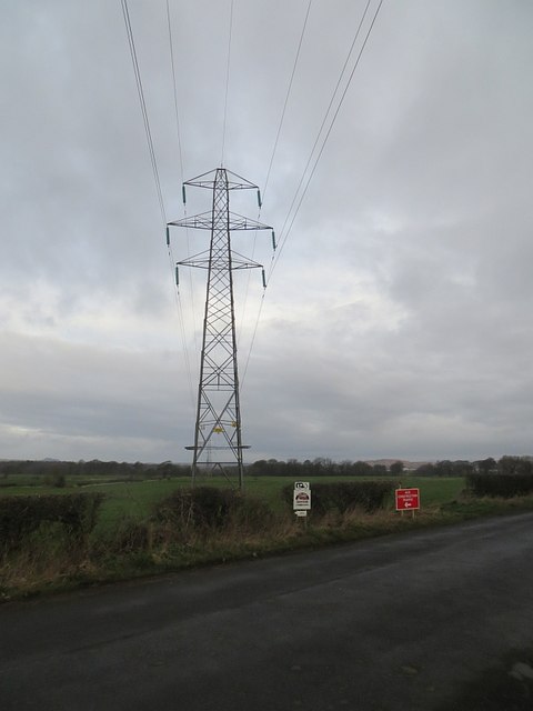
Calder, East Images
Images are sourced within 2km of 55.896141/-3.462137 or Grid Reference NT0867. Thanks to Geograph Open Source API. All images are credited.


Calder, East is located at Grid Ref: NT0867 (Lat: 55.896141, Lng: -3.462137)
Unitary Authority: West Lothian
Police Authority: The Lothians and Scottish Borders
What 3 Words
///blizzard.slurping.baseless. Near East Calder, West Lothian
Nearby Locations
Related Wikis

East Calder
East Calder is a village located in West Lothian, Scotland, about a mile east of Mid Calder and a mile west of Wilkieston. It forms part of 'the Calders...

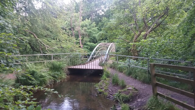
Almondell Viaduct
The Almondell Viaduct, also known as the Camps Viaduct, is a viaduct spanning the gorge of the River Almond in Scotland, located in East Calder, West Lothian...

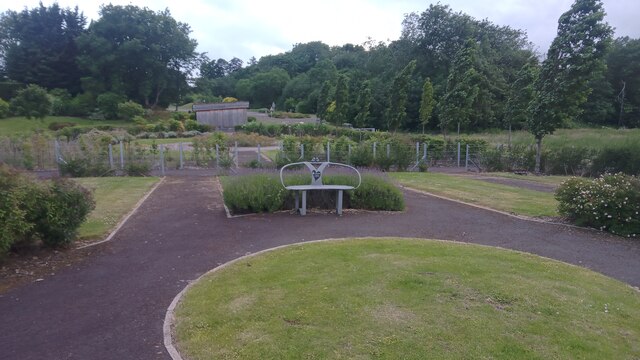
Almondell and Calderwood Country Park
Almondell and Calderwood Country Park is a 220-acre (0.89 km2) Country Park in Mid Calder and East Calder in West Lothian, Scotland. It is a 4 star Visitor...
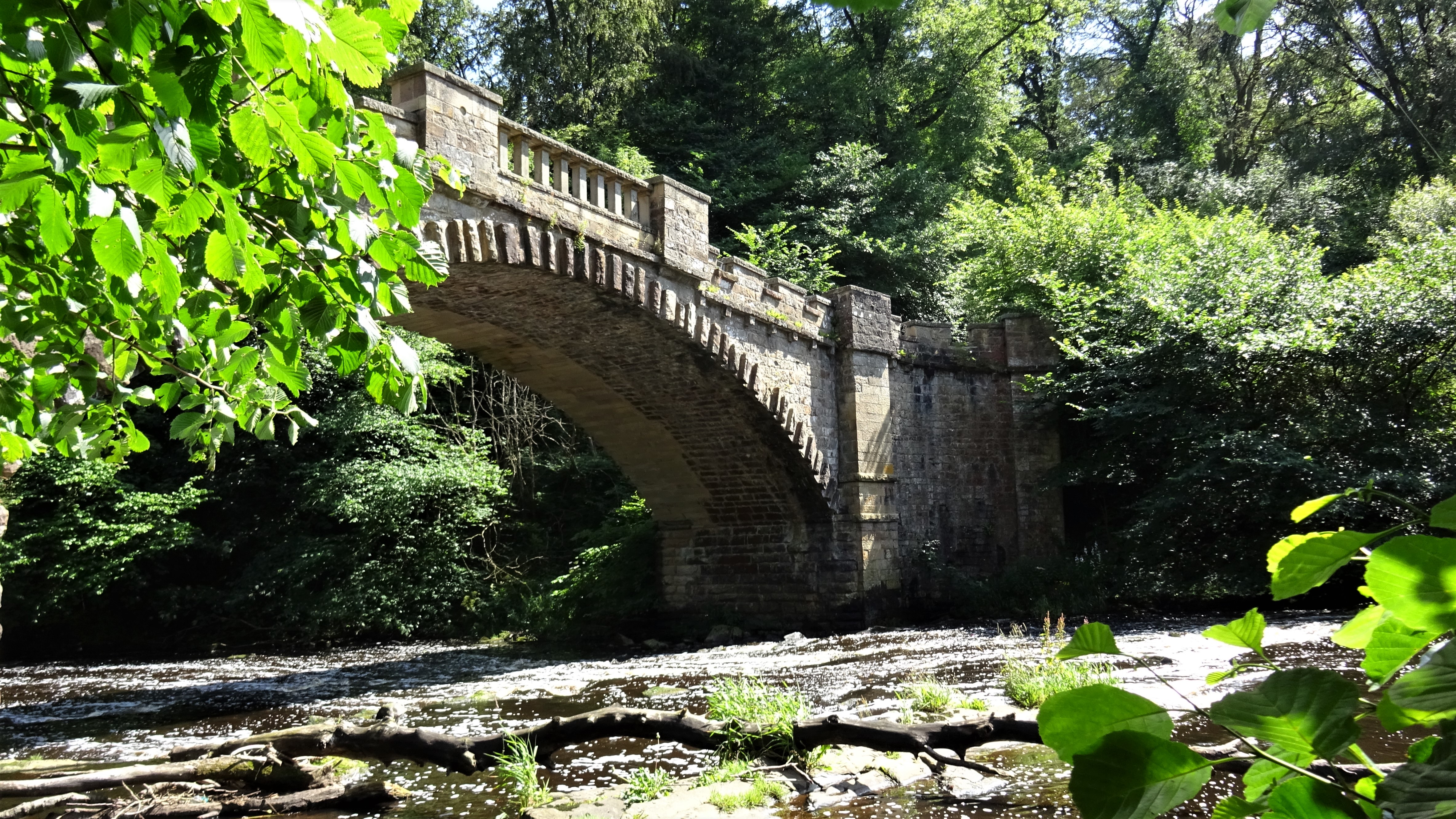
Nasmyth Bridge
The Nasmyth Bridge (also known as the Almondell Bridge) is a Category A Listed historic bridge and local landmark in East Calder, Scotland. Located within...
Mid Calder
Mid Calder (Scots: Mid Calder; Scottish Gaelic: Caladar Mheadhain) is a village in West Lothian, Scotland. It is located on a steep hill overlooking the...
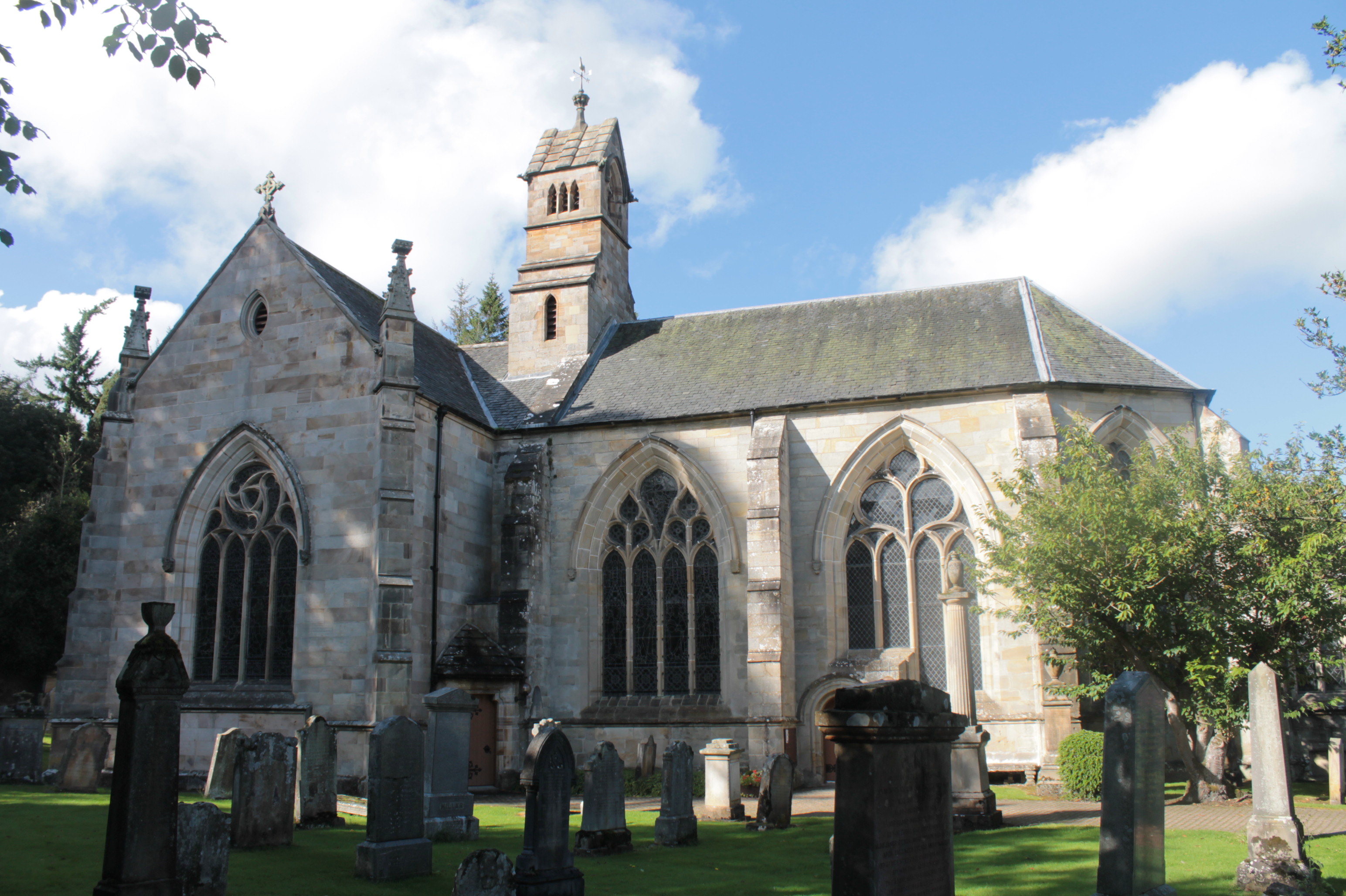
Kirk of Calder
Kirk of Calder is a medieval church in Mid Calder, West Lothian. It is listed as a Category A building by Historic Environment Scotland. The church is...
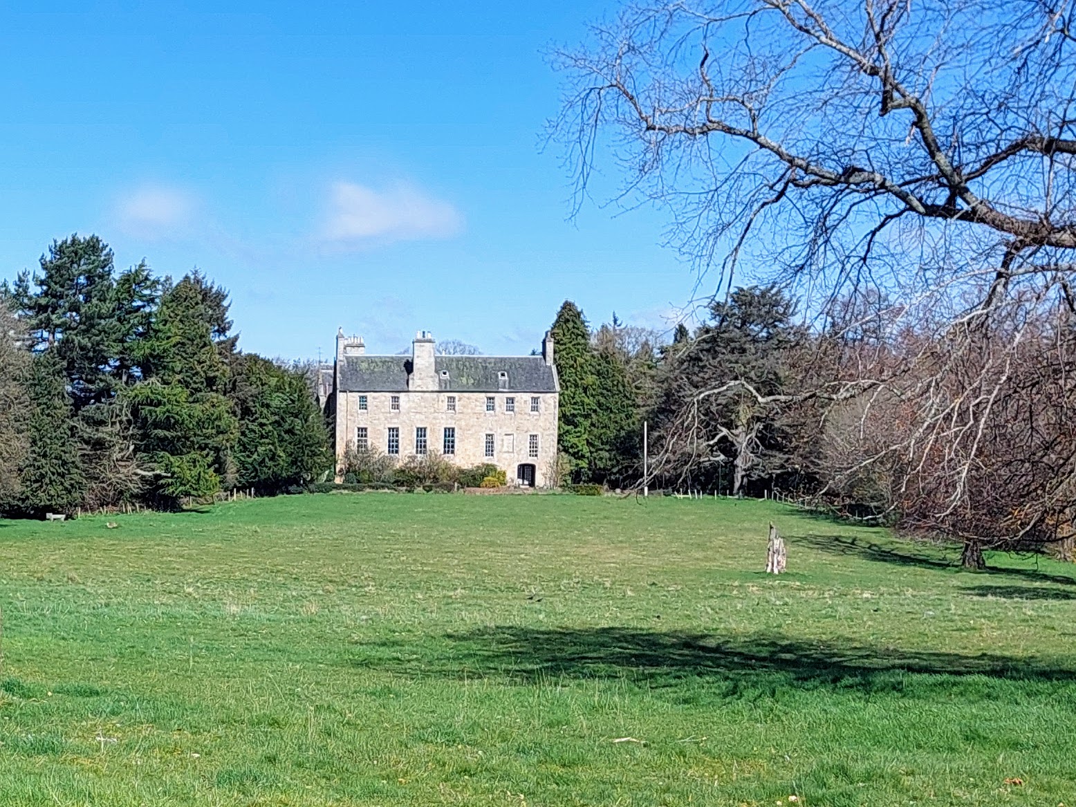
Calder House
Calder House is a historic Scottish country house in Mid Calder, Scotland, the family seat of the Sandilands family since 1348, and deemed to be one of...

Pumpherston
Pumpherston is a village in West Lothian, Scotland. Originally a small industrial village housing works for the nearby shale mine and works, it now forms...
Nearby Amenities
Located within 500m of 55.896141,-3.462137Have you been to Calder, East?
Leave your review of Calder, East below (or comments, questions and feedback).