Carleton, East

Settlement in Norfolk South Norfolk

England

Carleton, East

Mulbarton: View from the church entrance
Mulbarton: View from the church entrance Credit: Michael Garlick

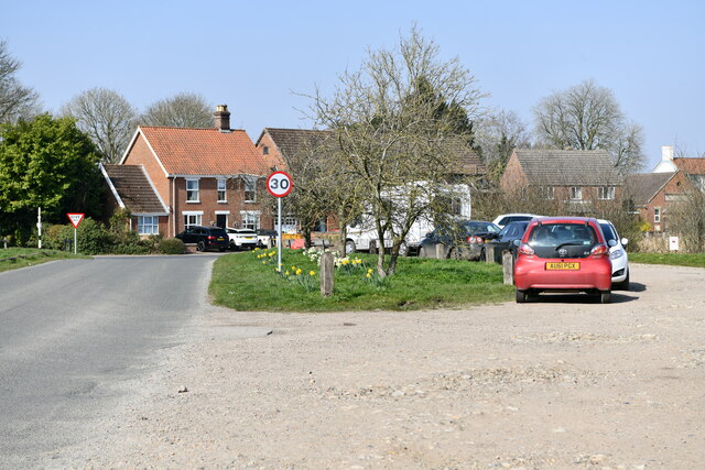
Carleton, East, Norfolk is a small village located in the county of Norfolk, England. It is situated approximately 8 miles southeast of the city of Norwich and lies within the South Norfolk district. The village is home to a population of around 500 residents.

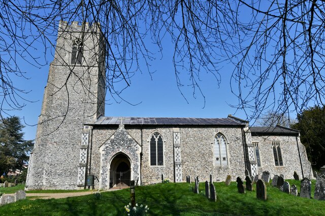
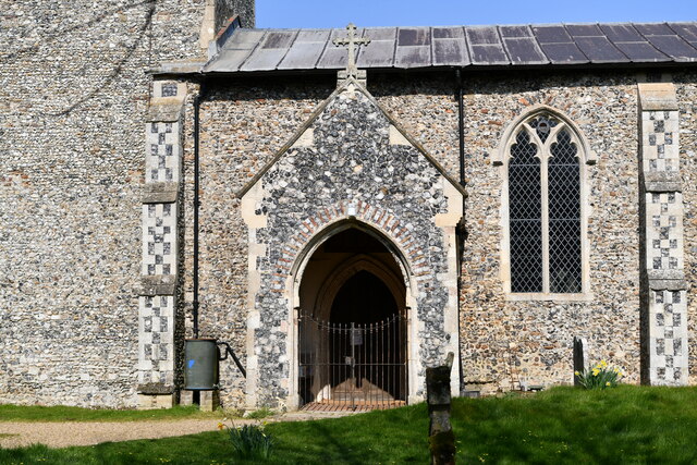
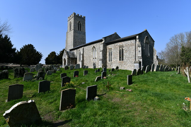
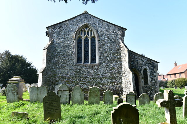
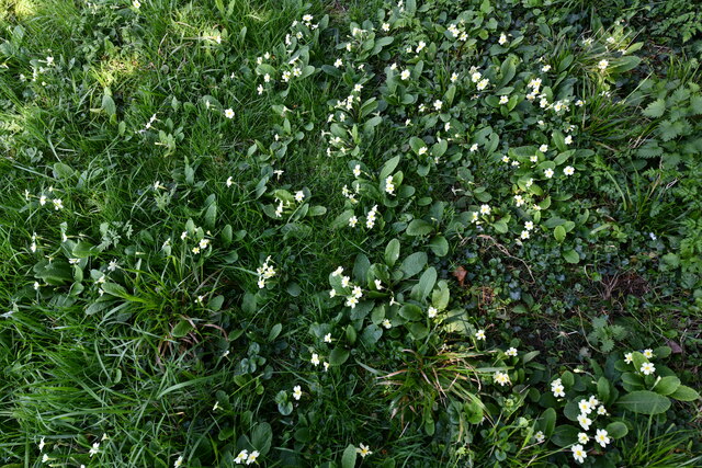
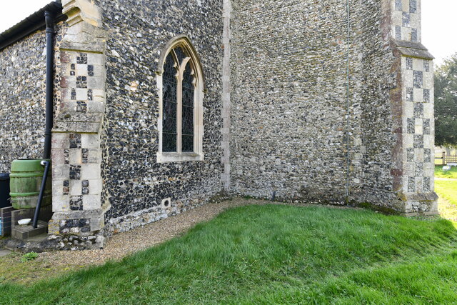
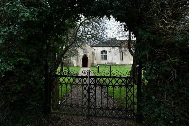
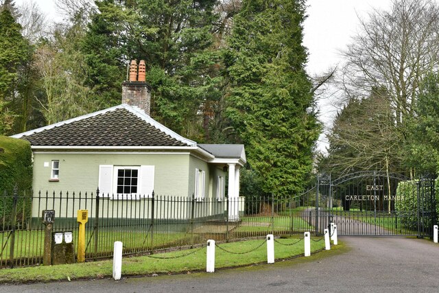
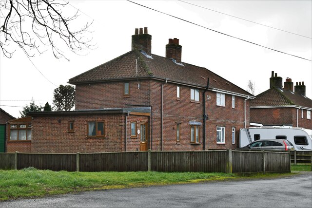
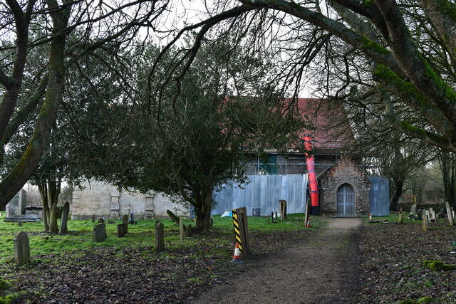
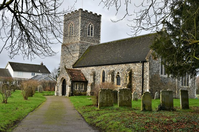
Carleton is known for its picturesque setting, surrounded by beautiful countryside and lush green fields. The village is predominantly residential, with a mix of traditional cottages and modern houses. The architecture in the area reflects its long history, with some buildings dating back several centuries.

Despite its small size, Carleton has a strong sense of community. It boasts a village hall which serves as a hub for various social events and gatherings. The village also has a local pub that offers a warm and friendly atmosphere, providing a place for residents to socialize.

The surrounding countryside provides ample opportunities for outdoor activities such as walking, cycling, and horse riding. The village is also close to several nature reserves and country parks, making it an ideal location for those who enjoy exploring nature.

In terms of amenities, Carleton offers limited facilities. However, a short drive to nearby towns and villages provides access to a wider range of shops, supermarkets, and services.

Overall, Carleton, East, Norfolk is a charming and peaceful village that offers a close-knit community and a tranquil rural lifestyle.

If you have any feedback on the listing, please let us know in the comments section below.

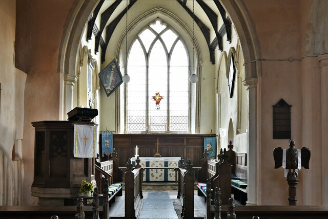
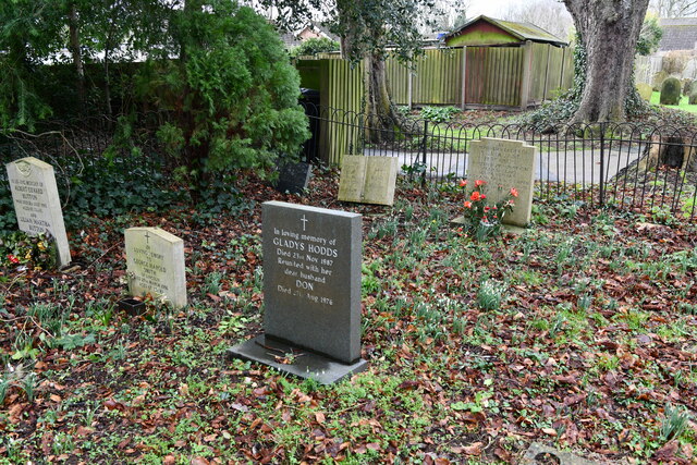
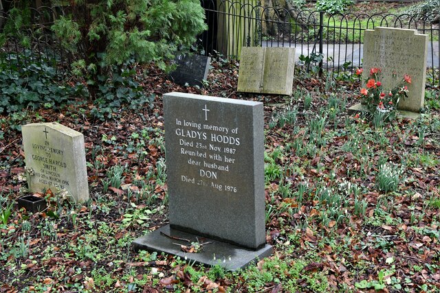
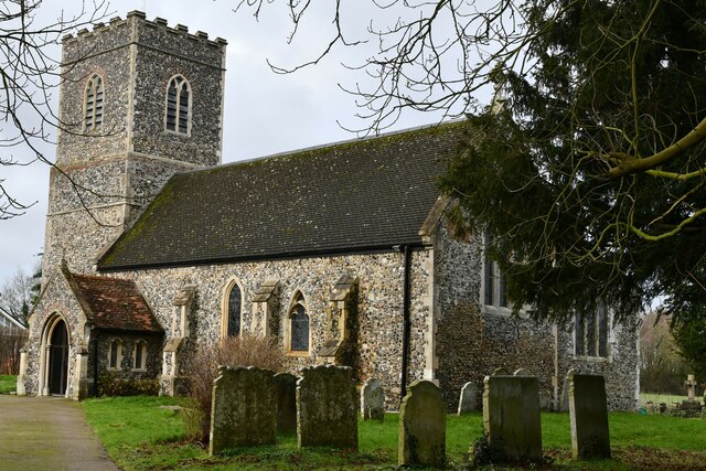
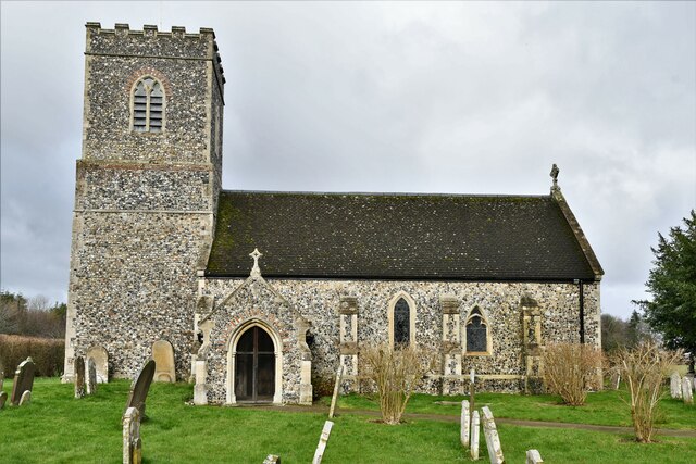
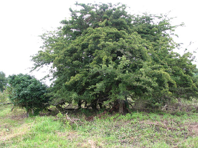
Carleton, East Images

Images are sourced within 2km of 52.572654/1.210424 or Grid Reference TG1702. Thanks to Geograph Open Source API. All images are credited.

Mulbarton: View from the church entrance
Mulbarton, St. Mary Magdalen's Church: Southern aspect
Mulbarton, St. Mary Magdalen's Church: South porch
Mulbarton, St. Mary Magdalen's Church: South eastern aspect
Mulbarton, St. Mary Magdalen's Church: Eastern aspect
Mulbarton, St. Mary Magdalen's Church: Profusion of primroses at the east end of the church
Mulbarton, St. Mary Magdalen's Church: Base of the tower
Hethel: Church Lane outside All Saints Church
Hethel: Entrance to All Saints Church
East Carleton: Entrance to East Carleton Manor
Bracon Ash: 9, School Close
Bracon Ash, St. Nicholas' Church: Northern aspect
Bracon Ash, St. Nicholas' Church: The chancel
East Carleton, St. Mary's Church: Snowdrops appearing in a small corner of the churchyard
East Carleton, St. Mary's Church: South eastern aspect
East Carleton, St. Mary's Church: Southern aspect
Show me another place!

Carleton, East is located at Grid Ref: TG1702 (Lat: 52.572654, Lng: 1.210424)

Administrative County: Norfolk

District: South Norfolk

Police Authority: Norfolk

What 3 Words

///strike.rant.stealing. Near Hethel, Norfolk

Related Wikis

East Carleton

East Carleton is a village and civil parish in the English county of Norfolk. The village is located 6.3 kilometres (3.9 mi) east of nearby Wymondham and...

Ketteringham

Ketteringham is a village and civil parish in the English county of Norfolk. The parish covers an area of 6.50 km2 (2.51 sq mi) and had a population of...

Forehoe and Henstead Rural District

Forehoe and Henstead Rural Districts were adjacent rural districts in Norfolk, England from 1894 to 1935.They were formed under the Local Government Act...

Hethel Old Thorn

Hethel Old Thorn is a 0.025-hectare (0.062-acre) nature reserve south-west of Norwich in Norfolk. It is managed by the Norfolk Wildlife Trust.This is...

Mulbarton, Norfolk

Mulbarton is a village and civil parish located south of Norwich in the English county of Norfolk. It covers an area of 5.34 km2 (2.06 sq mi).The place...

Bracon Ash

Bracon Ash is a village and civil parish in the South Norfolk district of Norfolk, England. == History == Bracon Ash's name is of Anglo-Saxon origin and...

Hethersett railway station

Hethersett was a railway station near Hethersett, Norfolk. == History == The Bill for the Norwich & Brandon Railway (N&BR) received Royal Assent on 10...

Mulbarton Wanderers F.C.

Mulbarton Wanderers Football Club is a football club based in Mulbarton, Norfolk. The men's first team are currently members in the Eastern Counties League...

Nearby Amenities

Located within 500m of 52.572654,1.210424
Power: pole
Lat/Long: 52.575355/1.214049
Power: pole
Lat/Long: 52.574895/1.213918
Power: pole
Lat/Long: 52.570566/1.206799
Power: pole
Lat/Long: 52.570617/1.20745
Power: pole
Lat/Long: 52.571527/1.206387
Power: pole
Lat/Long: 52.571986/1.205841
Power: pole
Lat/Long: 52.5726399/1.2049377
Power: pole
Lat/Long: 52.5734453/1.205015
Power: pole
Lat/Long: 52.574639/1.205124
Power: pole
Lat/Long: 52.575501/1.205187
Power: pole
Lat/Long: 52.569758/1.208739
Power: pole
Lat/Long: 52.570981/1.208662
Power: pole
Lat/Long: 52.568791/1.210044
Power: pole
Lat/Long: 52.571628/1.21031
East Carleton
Place: village
Lat/Long: 52.5726308/1.2124838
East Carlton
Inscription: 2002 / Herring
Man Made: village_sign
Material: metal
Start Date: 2002
Lat/Long: 52.5718242/1.2127877
Telephone
Booth: K6
Covered: booth
Lat/Long: 52.5717606/1.2120326
Post Box
Collection Times: Mo-Fr 16:00; Sa 09:00
Post Box Type: lamp
Ref: NR14 1456
Royal Cypher: EIIR
Royal Cypher Wikidata: Q33102113
Lat/Long: 52.5717631/1.2120018
Entrance: main
Lat/Long: 52.5726143/1.2153602
Saint Peter's Church
Abandoned Amenity: place_of_worship
Denomination: anglican
Historic: ruins
Listed Status: Grade II
Material: stone
Religion: christian
Ruins: church
Short Name: Saint Peter
Website: http://www.heritage.norfolk.gov.uk/record-details?MNF9502
Lat/Long: 52.5726944/1.2163807
Bench
Armrest: both
Backrest: yes
Inscription: yes
Material: wood
Seats: 4
Lat/Long: 52.572635/1.2103187
Power: pole
Lat/Long: 52.5711149/1.2145069
Power: pole
Lat/Long: 52.5702607/1.2143312
Power: pole
Lat/Long: 52.5693755/1.2141448
Colour: red and white
Marker: aerial
Utility: gas
Lat/Long: 52.5753843/1.2093369
Colour: red and white
Marker: aerial
Utility: gas
Lat/Long: 52.5755341/1.2094661
Colour: yellow
Inscription: CP
Marker: post
Utility: gas
Lat/Long: 52.5753848/1.2093424
Colour: yellow
Marker: post
Utility: gas
Lat/Long: 52.5754146/1.2093571
Colour: yellow
Inscription: GAS LTS HP GAS PIPELINE
Marker: post
Utility: gas
Lat/Long: 52.5755334/1.2094604
Give Way
Lat/Long: 52.5727167/1.210347
The data included in this document is from www.openstreetmap.org. The data is made available under ODbL.

Have you been to Carleton, East?

Leave your review of Carleton, East below (or comments, questions and feedback).