Langham Wick
Settlement in Essex Colchester
England
Langham Wick
Langham Wick is a small village located in the county of Essex, in the eastern part of England. It is situated approximately 5 miles northeast of the town of Colchester and lies close to the border with Suffolk. The village is part of the civil parish of Langham and has a population of around 200 residents.
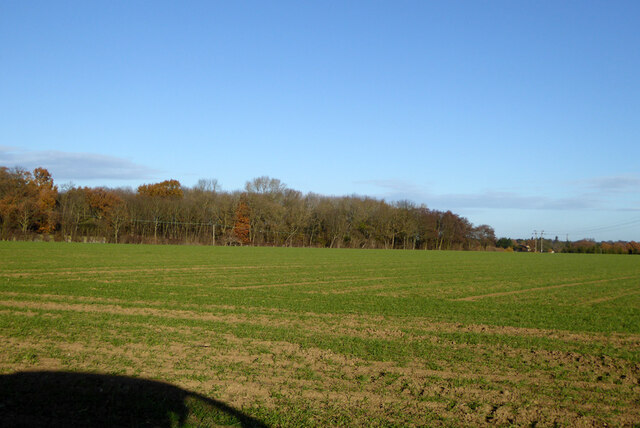
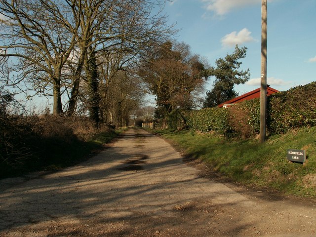
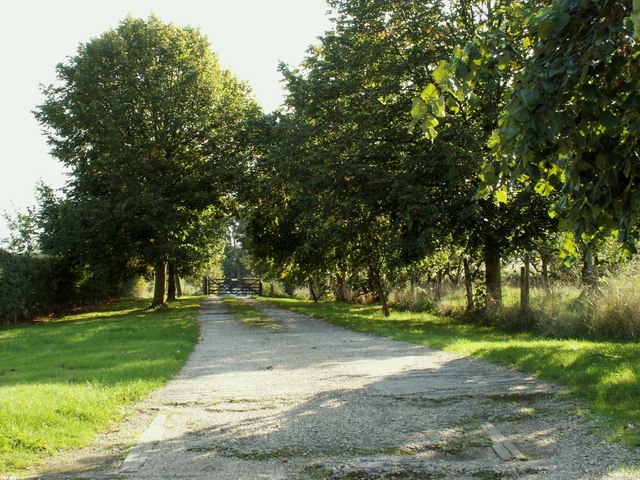
Langham Wick is surrounded by picturesque countryside, with rolling hills and charming farmland providing a scenic backdrop to the village. The area is known for its peaceful and rural atmosphere, making it an attractive destination for those seeking a tranquil escape from the bustle of urban life.
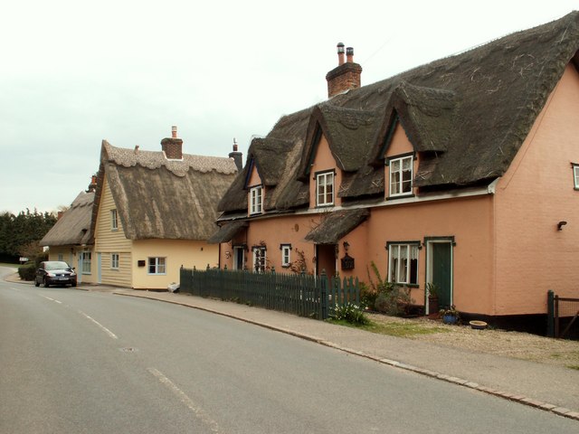
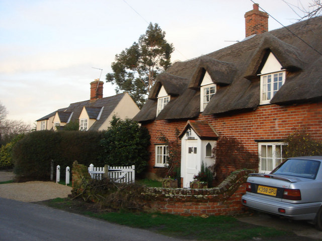
The village itself consists of a small cluster of houses, predominantly traditional cottages and farmhouses, which are scattered along the winding country lanes. There is a sense of community in Langham Wick, with residents often engaging in local events and gatherings.
Despite its small size, the village benefits from its proximity to nearby amenities. The town of Colchester, with its range of shops, supermarkets, and recreational facilities, is easily accessible by car or public transport. Additionally, Langham Wick is well-connected to the rest of the county, with good road links to major cities such as London and Norwich.
Overall, Langham Wick offers a peaceful and idyllic setting for its residents, combining the charm of rural living with convenient access to nearby urban centers.
If you have any feedback on the listing, please let us know in the comments section below.
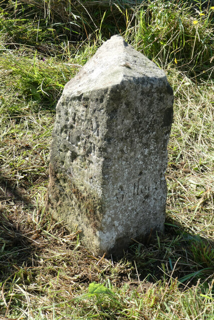
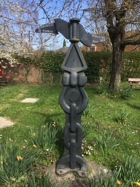
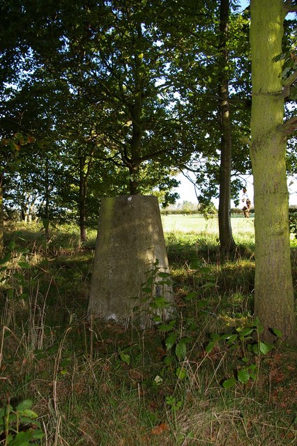
Langham Wick Images
Images are sourced within 2km of 51.945206/0.95006394 or Grid Reference TM0231. Thanks to Geograph Open Source API. All images are credited.


Langham Wick is located at Grid Ref: TM0231 (Lat: 51.945206, Lng: 0.95006394)
Administrative County: Essex
District: Colchester
Police Authority: Essex
What 3 Words
///organist.grudges.welfare. Near Boxted, Essex
Nearby Locations
Related Wikis

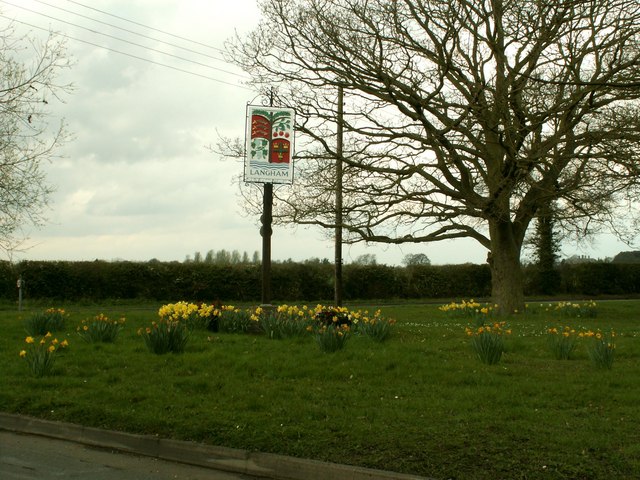
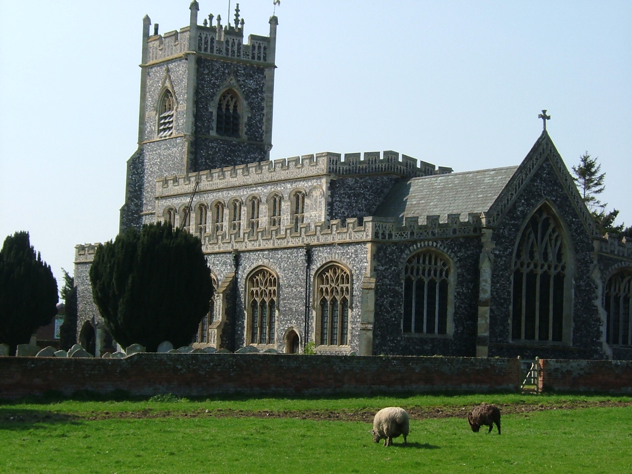
Langham, Essex
Langham is a small village in the City of Colchester district of Essex, England. == History == There is little evidence of pre-Roman occupation of what...

RAF Boxted
Royal Air Force Boxted or more simply RAF Boxted is a former Royal Air Force station located 4 miles (6.4 km) north-northeast of Colchester, Essex England...
Lamb Corner
Lamb Corner is a hamlet on the B1029 road, in the civil parish of Dedham in the Colchester district, in the county of Essex, England. Lamb Corner formerly...

Ardleigh Heath
Ardleigh Heath is a hamlet on the B1029 road, in the civil parish of Ardleigh, in the Tendring District of the county of Essex, England. It is located...
Stratford St. Mary
Stratford St. Mary is a village in Suffolk, England in the heart of 'Constable Country'. John Constable painted a number of paintings in and around Stratford...
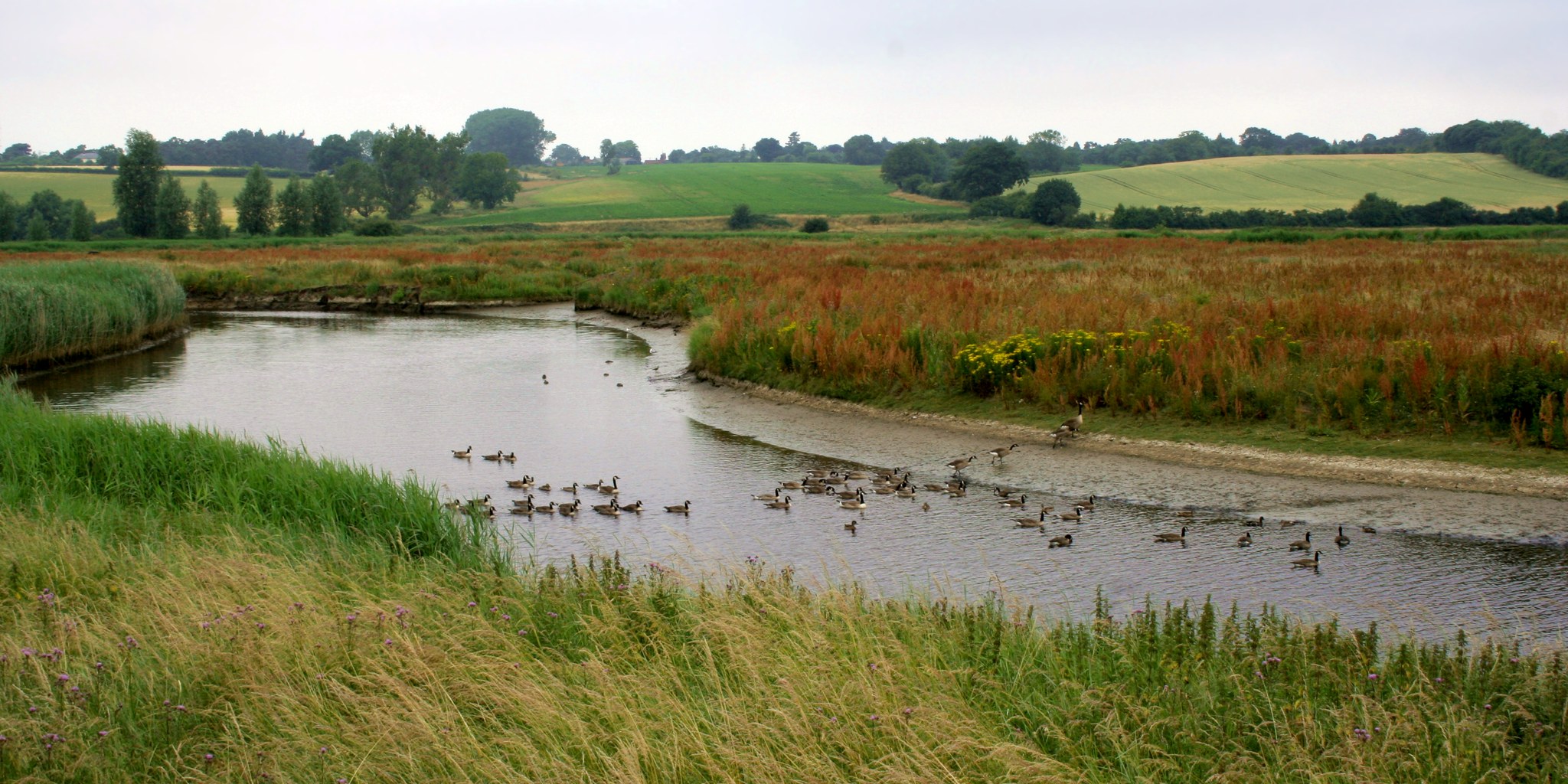
Dedham Vale
Dedham Vale is a designated Area of Outstanding Natural Beauty on the Essex-Suffolk border in east England. It comprises the area around the River Stour...

Ardleigh
Ardleigh is a village and civil parish in Essex, England. It is situated approximately 4 miles (6 km) northeast from the centre of Colchester and 26 miles...
Dedham Heath
Dedham Heath, known locally as The Heath, is a hamlet in the civil parish of Dedham, in the Colchester district, in the county of Essex, England. In 2021...
Related Videos

A walk to remember | Holland-on-Sea to Frinton-on-the-Sea | Coffee morning group walk
Friends gathering together for a walk and catching up with each other is i think one of the best past times a group could have.

Vice at Ion Magkatabing Natulog? | Vice Nakapatong Kay Ion? | My Reaction Video
OMG! Grabeh na talaga ang pagmamahalan nilang Vice at Ion at hindi na talaga sila natatakot ipakita sa buong madlang people ...


How to make simple flower arrangements | Garden Flowers
One of the so many benefits of growing lovely flowers in the garden is for you to be able to make simple flower arrangements for ...
Nearby Amenities
Located within 500m of 51.945206,0.95006394Have you been to Langham Wick?
Leave your review of Langham Wick below (or comments, questions and feedback).