Langham
Settlement in Essex Colchester
England
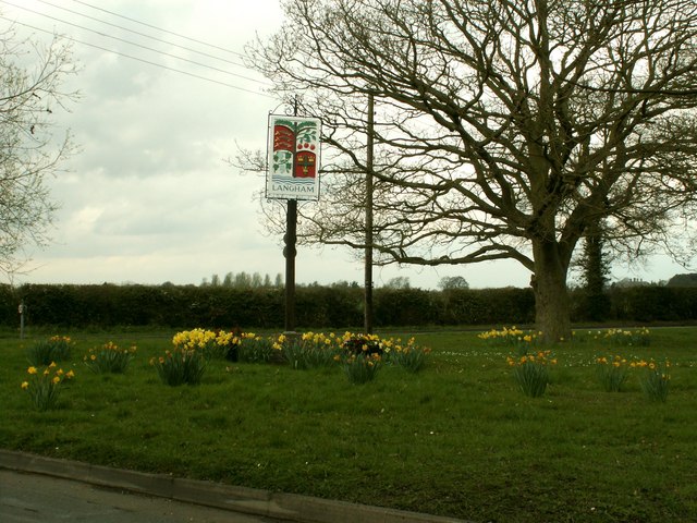
Langham
Langham is a small village located in the Tendring district of Essex, England. Situated approximately four miles west of the town of Colchester, it lies within the East of England region. The village has a population of around 800 residents.
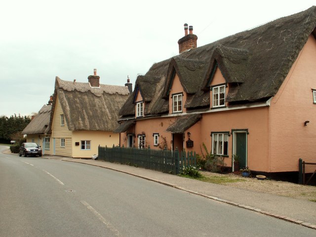
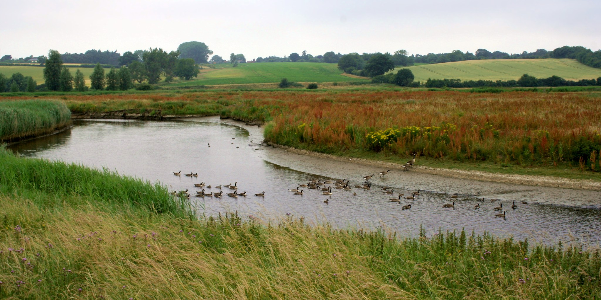
Langham is known for its picturesque countryside, offering stunning views of the surrounding landscapes. The village is bordered by open fields and meadows, providing a peaceful and tranquil atmosphere for its residents. The area is also famous for its historic buildings, with some dating back to the 16th century.
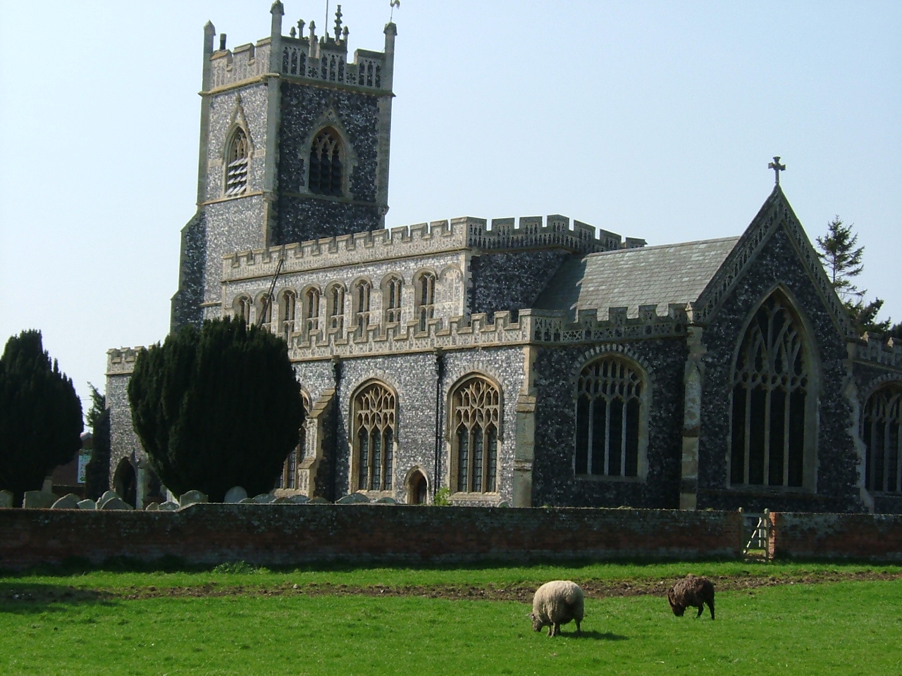
One of the most notable landmarks in Langham is St. Mary's Church, a Grade I listed building that showcases outstanding architectural features. The church, built in the 14th century, has a rich history and attracts visitors with its beautiful stained glass windows and intricate stone carvings.
Despite its small size, Langham boasts a strong community spirit, with various social and recreational activities available for residents. The village has a primary school, a village hall, and a local pub, providing essential amenities for its inhabitants. Additionally, Langham is well-connected to surrounding towns and cities, with regular bus services and easy access to major road networks.
Langham offers a peaceful and idyllic setting for those seeking a rural lifestyle, while still being within reach of urban amenities. Its rich history, natural beauty, and close-knit community make it a desirable place to live for many people in Essex.
If you have any feedback on the listing, please let us know in the comments section below.
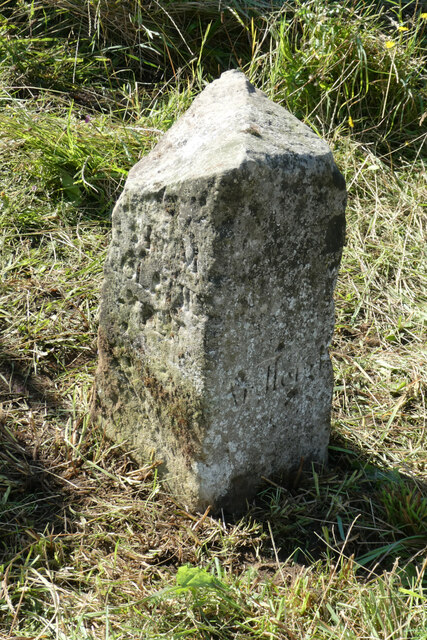
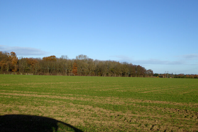
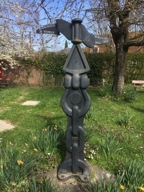
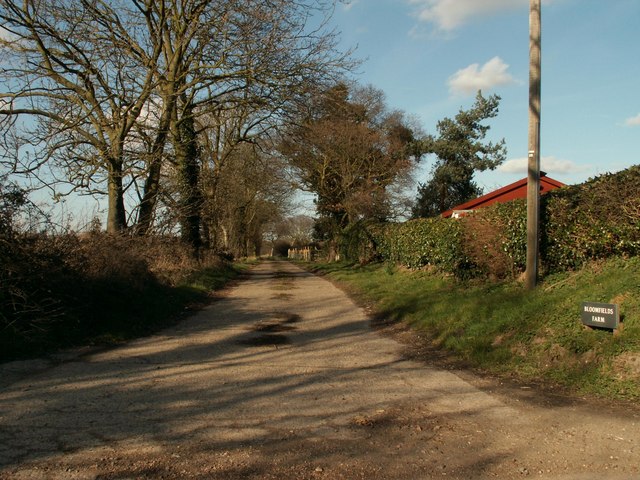
Langham Images
Images are sourced within 2km of 51.947637/0.95067473 or Grid Reference TM0231. Thanks to Geograph Open Source API. All images are credited.


Langham is located at Grid Ref: TM0231 (Lat: 51.947637, Lng: 0.95067473)
Administrative County: Essex
District: Colchester
Police Authority: Essex
What 3 Words
///snores.prepare.outhouse. Near Boxted, Essex
Nearby Locations
Related Wikis

Langham, Essex
Langham is a small village in the City of Colchester district of Essex, England. == History == There is little evidence of pre-Roman occupation of what...

RAF Boxted
Royal Air Force Boxted or more simply RAF Boxted is a former Royal Air Force station located 4 miles (6.4 km) north-northeast of Colchester, Essex England...
Lamb Corner
Lamb Corner is a hamlet on the B1029 road, in the civil parish of Dedham in the Colchester district, in the county of Essex, England. Lamb Corner formerly...
Stratford St. Mary
Stratford St. Mary is a village in Suffolk, England in the heart of 'Constable Country'. John Constable painted a number of paintings in and around Stratford...
Dedham Vale
Dedham Vale is a designated Area of Outstanding Natural Beauty on the Essex-Suffolk border in east England. It comprises the area around the River Stour...

Ardleigh Heath
Ardleigh Heath is a hamlet on the B1029 road, in the Tendring District of the county of Essex, England. It is located between Lamb Corner and Dedham (to...
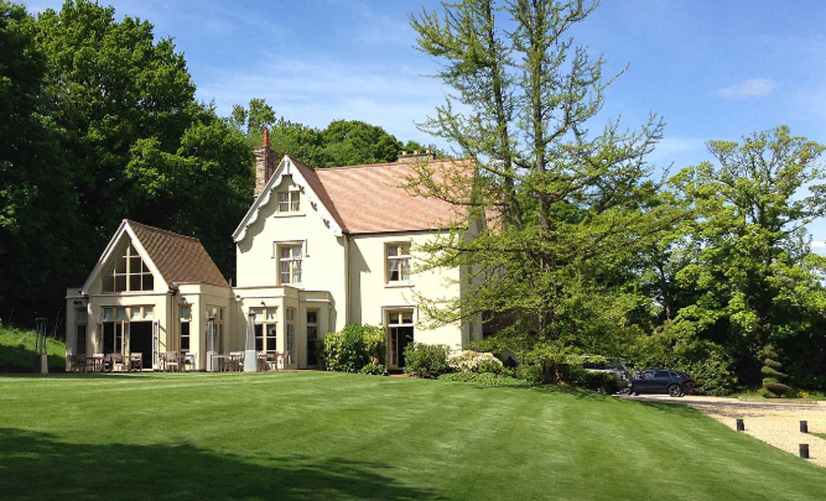
Maison Talbooth, Dedham
Maison Talbooth, Dedham in Essex is a building of historical significance. The construction was started in 1846 and completed by 1850. The architect was...

River Box
The River Box is a small river, 14 miles (23 km) in length, that flows through Suffolk, England. It is a tributary of the River Stour. == Toponymy == The...
Nearby Amenities
Located within 500m of 51.947637,0.95067473Have you been to Langham?
Leave your review of Langham below (or comments, questions and feedback).