Lane Head

Settlement in Yorkshire

England

Lane Head

The top of Shipley Glen A view from Lode Pit Lane at the point whence a bridleway descends into the glen.
The top of Shipley Glen Credit: Stephen Craven

The requested URL returned error: 429 Too Many Requests

If you have any feedback on the listing, please let us know in the comments section below.
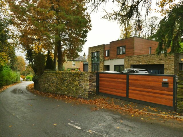
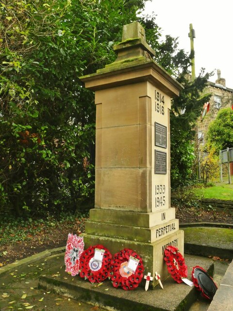
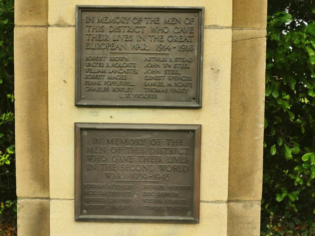
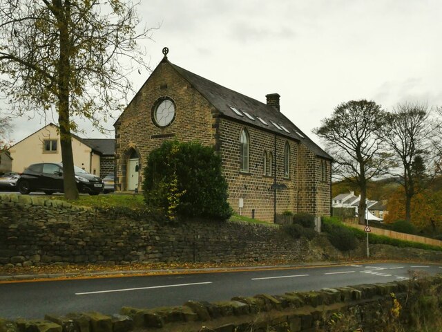
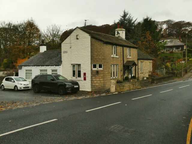
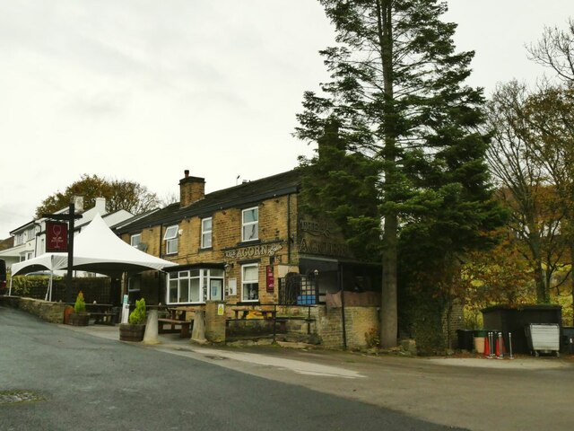
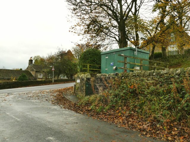
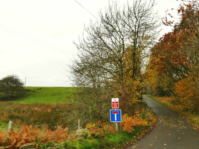
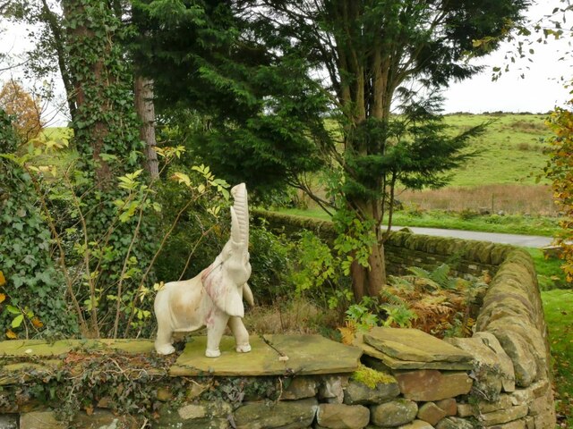
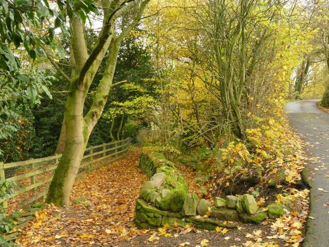
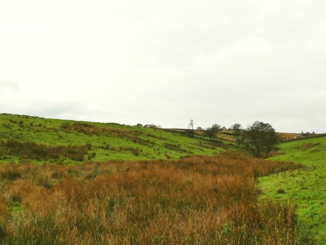
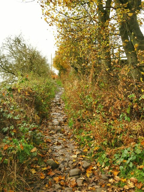
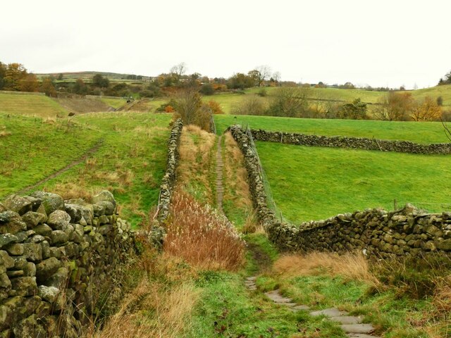
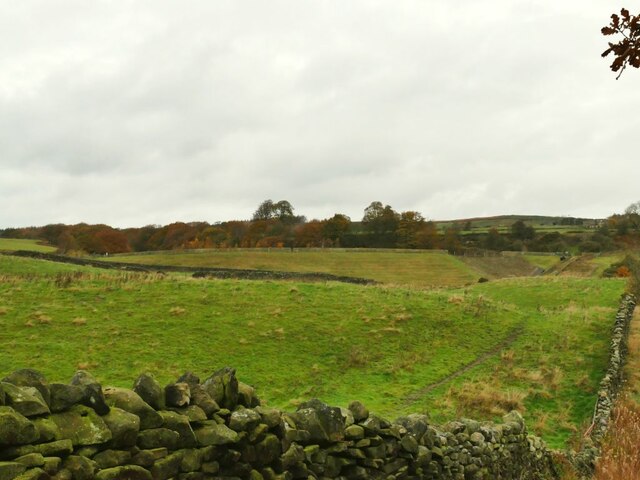
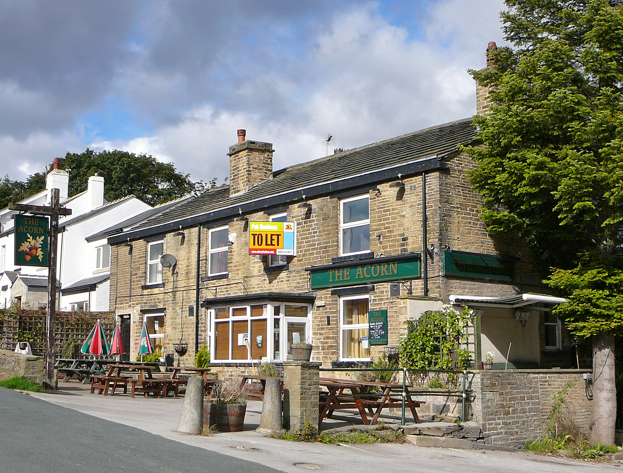
Lane Head Images

Images are sourced within 2km of 53.865476/-1.8086237 or Grid Reference SE1241. Thanks to Geograph Open Source API. All images are credited.

The top of Shipley Glen A view from Lode Pit Lane at the point whence a bridleway descends into the glen.
The top of Shipley Glen
A view from Lode Pit Lane at the point whence a bridleway descends into the glen.
Willow Cottage, Saltaire Road, Eldwick Actually a large detached house rather than a cottage.  It appeared on a property website with an estimated value of £369,000. The name of the road is also misleading, because although you can get to Saltaire this way, it's only on foot. It is part of the Welcome Way.
Willow Cottage, Saltaire Road, Eldwick
Actually a large detached house rather than a cottage. It appeared on a property website with an estimated value of £369,000. The name of the road is also misleading, because although you can get to Saltaire this way, it's only on foot. It is part of the Welcome Way.
Culvert on the Loadpit Beck The culvert carries an access road leading to a former quarry that now contains a modern industrial building.
Culvert on the Loadpit Beck
The culvert carries an access road leading to a former quarry that now contains a modern industrial building.
Houses at Eldwick Beck In between the photographer location on Saltaire Road and the terrace of houses in the background was Eldwick Beck Mill (now demolished). I assume the houses were built for millworkers.
Houses at Eldwick Beck
In between the photographer location on Saltaire Road and the terrace of houses in the background was Eldwick Beck Mill (now demolished). I assume the houses were built for millworkers.
The north end of Saltaire Road The name of the road is misleading, because although you can get to Saltaire this way, it's only on foot. It is part of the Welcome Way. The modernist house on the right is called Xantara.
The north end of Saltaire Road
The name of the road is misleading, because although you can get to Saltaire this way, it's only on foot. It is part of the Welcome Way. The modernist house on the right is called Xantara.
Eldwick War Memorial Listed grade II (list entry 1447944) where we learn that the First World War memorial was unveiled on 2 December 1922, and was crafted by David Wildman from  local sandstone at a cost of approximately £150.
Eldwick War Memorial
Listed grade II (list entry 1447944) where we learn that the First World War memorial was unveiled on 2 December 1922, and was crafted by David Wildman from local sandstone at a cost of approximately £150.
Eldwick War Memorial names The plaques name thirteen casualties of the First World War and eight from the Second. See <a href="https://www.geograph.org.uk/photo/7026425">SE1240 : Eldwick War Memorial</a> for context.
Eldwick War Memorial names
The plaques name thirteen casualties of the First World War and eight from the Second. See SE1240 : Eldwick War Memorial for context.
Former Eldwick Beck Wesleyan Methodist chapel The chapel on Otley Road was built in 1888, closed c.2010 <a href="https://www.geograph.org.uk/photo/2716706">SE1240 : The old Wesleyan Methodist Chapel, Eldwick</a> and is now presumably in private ownership.
Former Eldwick Beck Wesleyan Methodist chapel
The chapel on Otley Road was built in 1888, closed c.2010 SE1240 : The old Wesleyan Methodist Chapel, Eldwick and is now presumably in private ownership.
The Green, Eldwick Beck The Green is a short side road with these houses on the corner, and a pub and a few more houses further along. Note the post box in the wall <a href="https://www.geograph.org.uk/photo/581516">SE1240 : Victorian Post Box - The Green, Eldwick</a>.
The Green, Eldwick Beck
The Green is a short side road with these houses on the corner, and a pub and a few more houses further along. Note the post box in the wall SE1240 : Victorian Post Box - The Green, Eldwick.
The Acorn at Eldwick Beck A Casque Mark pub. It was only 11am when I passed, too early for a pint.
The Acorn at Eldwick Beck
A Casque Mark pub. It was only 11am when I passed, too early for a pint.
Gas installation at Eldwick Beck
Footpath beyond The Green The public road becomes a public footpath at this point though it is still well surfaced as the access to a few properties.  It forms part of the Welcome way.
Footpath beyond The Green
The public road becomes a public footpath at this point though it is still well surfaced as the access to a few properties. It forms part of the Welcome way.
Elephant on a wall The animal figure (possibly carved from ivory?) stands on a wall alongside the drive to the Old Corn Mill.
Elephant on a wall
The animal figure (possibly carved from ivory?) stands on a wall alongside the drive to the Old Corn Mill.
Start of a bridleway A very short bridleway that runs for less than a hundred metres between two roads.
Start of a bridleway
A very short bridleway that runs for less than a hundred metres between two roads.
Marshy bottom below Tewitt Lane A public footpath crosses the marsh and up the far slope. Wellies recommended.
Marshy bottom below Tewitt Lane
A public footpath crosses the marsh and up the far slope. Wellies recommended.
Tewitt Lane A public footpath forming part of the Welcome Way.
Tewitt Lane
A public footpath forming part of the Welcome Way.
Stone causeway near Eldwick Reservoir  Labelled on the 1908 map as 'paved trackway' in the font denoting an antiquity, suggesting that it predates the nearby reservoir and mill. The track has public bridleway status. See also <a href="https://www.geograph.org.uk/photo/4403665">SE1241 : Rollercoaster lane</a>, and <a href="https://www.geograph.org.uk/photo/3386156">SE1240 : Bridleway to the Reservoir, Eldwick</a> for the same in winter conditions.
Stone causeway near Eldwick Reservoir
Labelled on the 1908 map as 'paved trackway' in the font denoting an antiquity, suggesting that it predates the nearby reservoir and mill. The track has public bridleway status. See also SE1241 : Rollercoaster lane, and SE1240 : Bridleway to the Reservoir, Eldwick for the same in winter conditions.
Dam of Eldwick Reservoir  Viewed from the causeway below the dam.
Dam of Eldwick Reservoir
Viewed from the causeway below the dam.
Show me another place!

Lane Head is located at Grid Ref: SE1241 (Lat: 53.865476, Lng: -1.8086237)

Division: West Riding

Unitary Authority: Bradford

Police Authority: West Yorkshire

What 3 Words

///reforming.thundered.equivocal. Near Baildon, West Yorkshire

Related Wikis

Eldwick

Eldwick is a small village near Bingley in the City of Bradford district in West Yorkshire. It is split up into two main parts, Eldwick, the main populated...

Gilstead

Gilstead is a village within the City of Bradford Metropolitan District, West Yorkshire, England. It is situated at the edge of the moors, above the town...
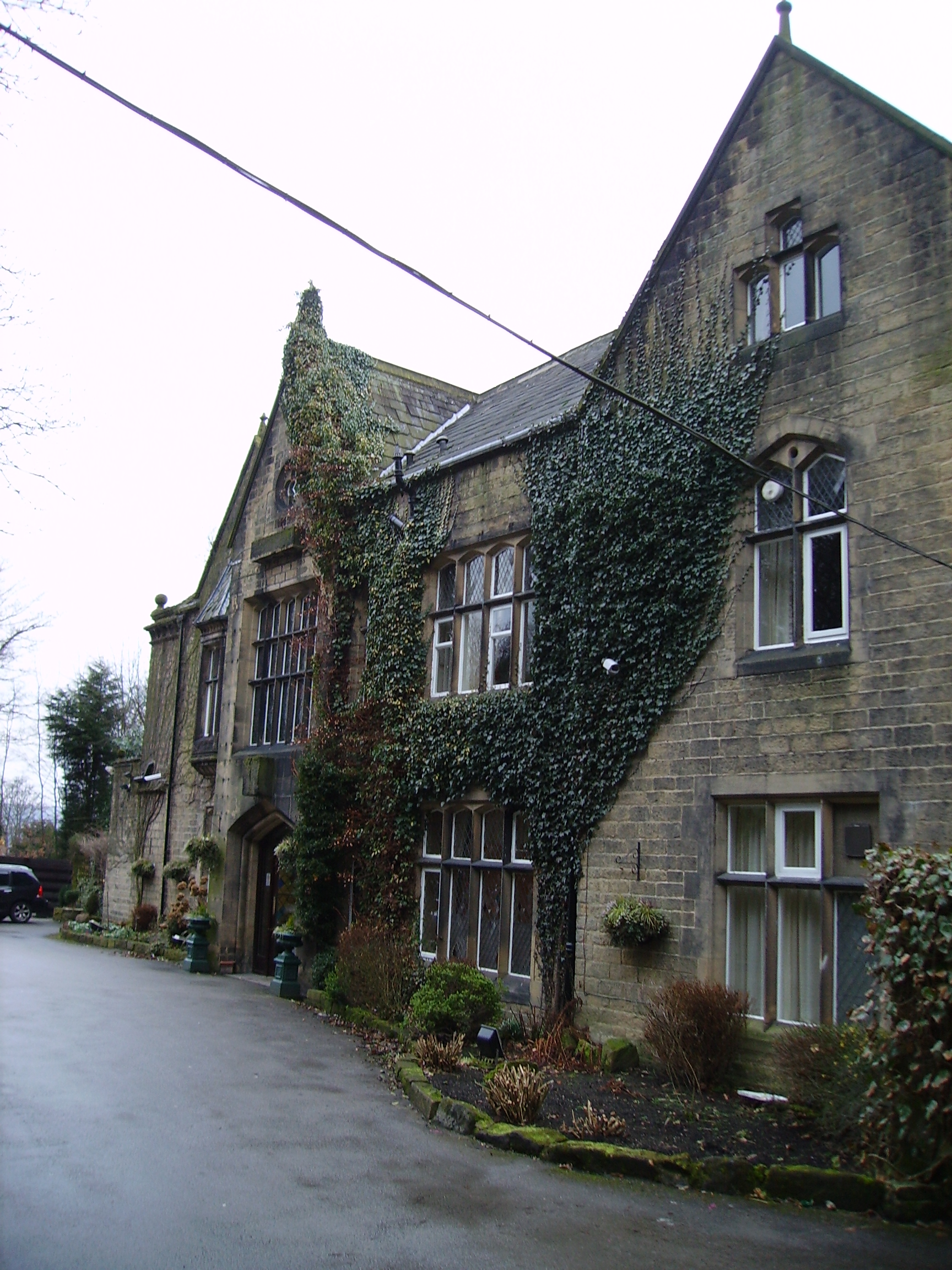
Oakwood Hall

Oakwood Hall, Bingley, West Yorkshire, England is a 19th-century mansion with interior fittings by the Victorian architect William Burges. The hall was...

Shipley (UK Parliament constituency)

Shipley is a constituency represented in the House of Commons of the UK Parliament since 2005 by Philip Davies, a Conservative. == Boundaries == 1885...

Nearby Amenities

Located within 500m of 53.865476,-1.8086237
Bus Stop
Otley Road Cragg Wood Farm
Bus: yes
Local Ref: 45021134
Naptan AtcoCode: 450021134
Naptan Bearing: SW
Naptan CommonName: Otley Road Cragg Wood Farm
Naptan Crossing: Bus Terminus
Naptan Indicator: Stop 45021134
Naptan Landmark: Cragg Wood Farm
Naptan PlusbusZoneRef: LEEDS
Naptan ShortCommonName: Eldwick
Naptan Street: Otley Road
Naptan Verified: no
Public Transport: platform
Source: naptan_import
Lat/Long: 53.8651757/-1.8086562
Bus Stop
Otley Road Spring Lane
Local Ref: 45021135
Naptan AtcoCode: 450021135
Naptan Bearing: NE
Naptan CommonName: Otley Road Spring Lane
Naptan Crossing: Spring Lane
Naptan Indicator: Stop 45021135
Naptan PlusbusZoneRef: LEEDS
Naptan ShortCommonName: Spring Lane
Naptan Street: Otley Road
Naptan Verified: no
Source: naptan_import
Lat/Long: 53.8616634/-1.8099647
Bus Stop
Otley Road Spring Lane
Local Ref: 45021136
Naptan AtcoCode: 450021136
Naptan Bearing: SW
Naptan CommonName: Otley Road Spring Lane
Naptan Crossing: Spring Lane
Naptan Indicator: Stop 45021136
Naptan PlusbusZoneRef: LEEDS
Naptan ShortCommonName: Spring Lane
Naptan Street: Otley Road
Naptan Verified: no
Source: naptan_import
Lat/Long: 53.8616005/-1.809965
Eldwick Hall
Building: yes
Wikidata: Q26426279
Lat/Long: 53.8670656/-1.8100504
Cropper Fold
Place: farm
Source: OS 1:25k
Lat/Long: 53.8630551/-1.8051463
Post Box
Operator: Royal Mail
Post Box Type: wall
Ref: BD16 618D
Royal Cypher: VR
Royal Cypher Wikidata: Q33102356
Source: survey
Lat/Long: 53.8614845/-1.8105152
Turning Loop
Lat/Long: 53.86677/-1.8106902
The data included in this document is from www.openstreetmap.org. The data is made available under ODbL.

Have you been to Lane Head?

Leave your review of Lane Head below (or comments, questions and feedback).