Intake Wood
Wood, Forest in Yorkshire
England
Intake Wood
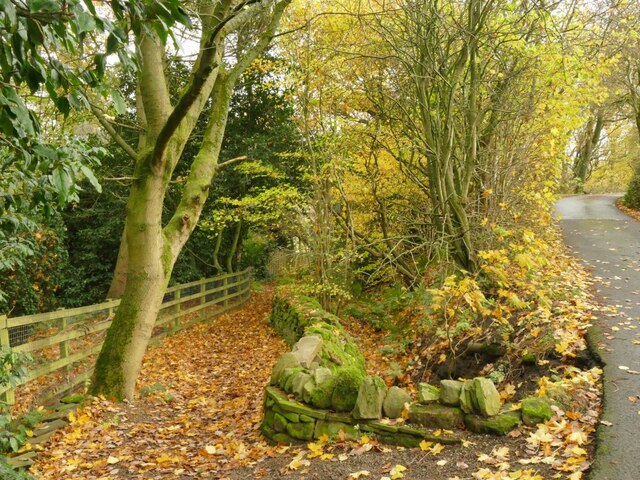
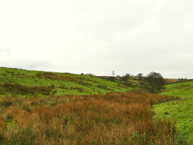
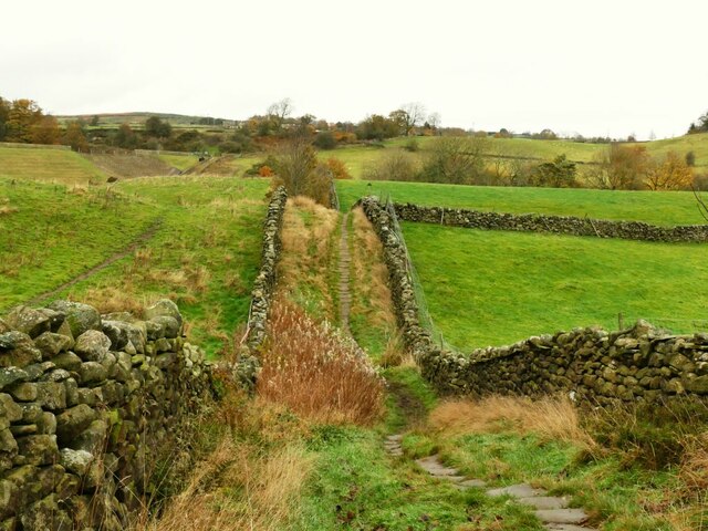
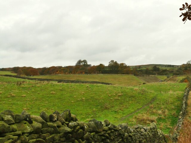
Intake Wood is a picturesque woodland located in Yorkshire, England. It is nestled in the heart of the Yorkshire Dales National Park, known for its stunning natural beauty and diverse flora and fauna. The wood covers an area of approximately 100 acres and is part of a larger network of forests and woodlands in the region.
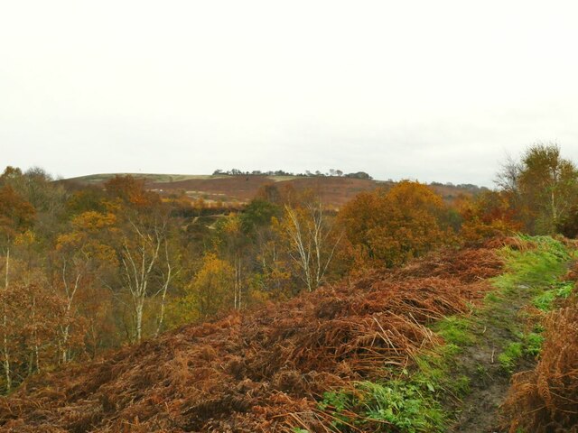
Intake Wood is predominantly composed of deciduous trees, including oak, beech, and birch, which provide a vibrant display of colors during the autumn season. The wood is also home to a variety of wildlife, including deer, badgers, and a wide range of bird species such as owls, woodpeckers, and songbirds. This makes it a popular destination for nature enthusiasts and birdwatchers throughout the year.
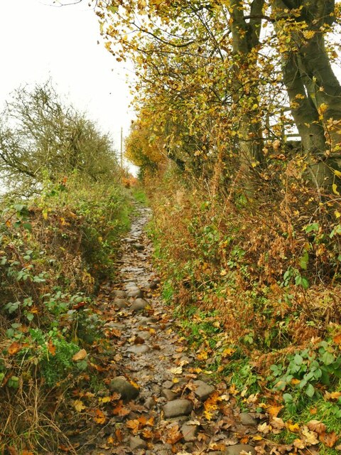
The wood offers a network of well-maintained walking trails, providing visitors with the opportunity to explore its enchanting beauty. These trails meander through the dense woodland, offering glimpses of sunlight filtering through the canopy and creating a peaceful and tranquil atmosphere. There are also designated picnic areas and benches strategically placed along the trails, allowing visitors to rest and soak in the natural surroundings.
Intake Wood is managed by the Yorkshire Dales National Park Authority, which ensures the preservation and conservation of the woodland. The authority also organizes educational programs and guided tours, enabling visitors to learn more about the unique ecosystem and the importance of sustainable forest management.
In conclusion, Intake Wood in Yorkshire, England, is a captivating woodland that offers a haven of natural beauty and biodiversity. Its well-maintained trails, diverse wildlife, and stunning scenery make it a must-visit destination for nature enthusiasts and those seeking a peaceful retreat amidst nature.
If you have any feedback on the listing, please let us know in the comments section below.
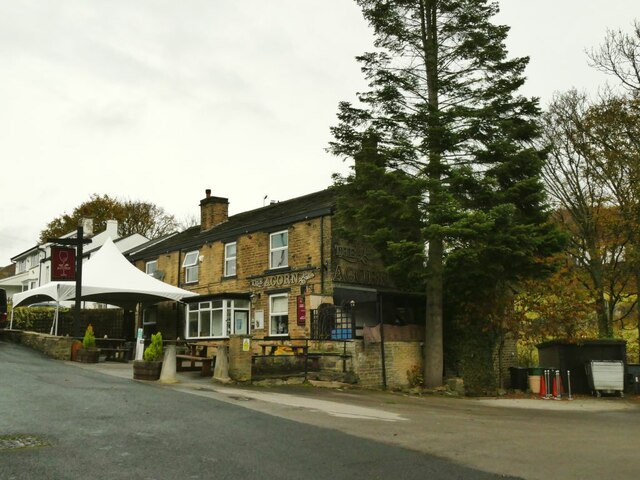
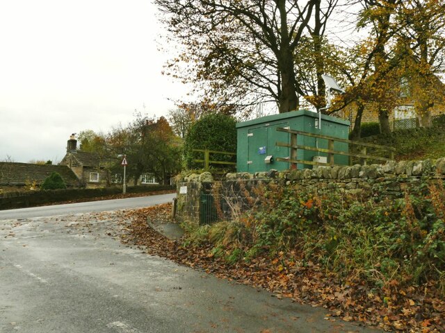
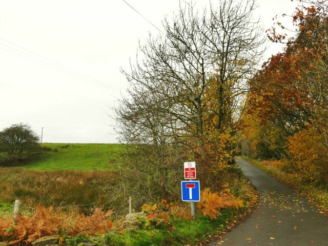
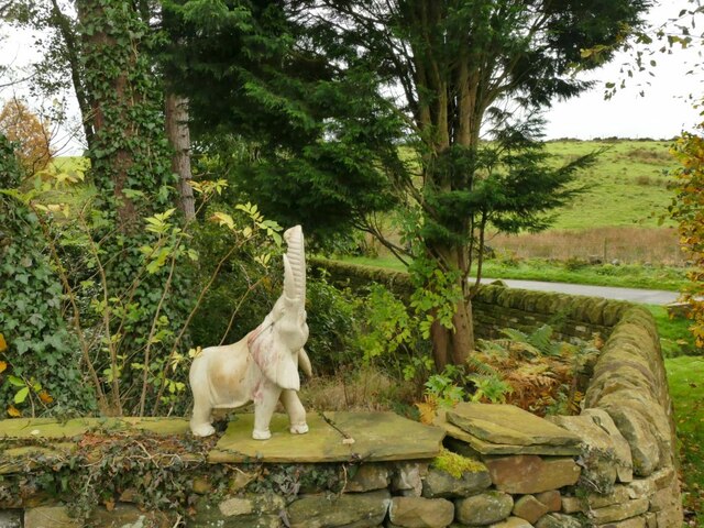
Intake Wood Images
Images are sourced within 2km of 53.871531/-1.8183295 or Grid Reference SE1241. Thanks to Geograph Open Source API. All images are credited.

Intake Wood is located at Grid Ref: SE1241 (Lat: 53.871531, Lng: -1.8183295)
Division: West Riding
Unitary Authority: Bradford
Police Authority: West Yorkshire
What 3 Words
///boring.badly.unloaded. Near Bingley, West Yorkshire
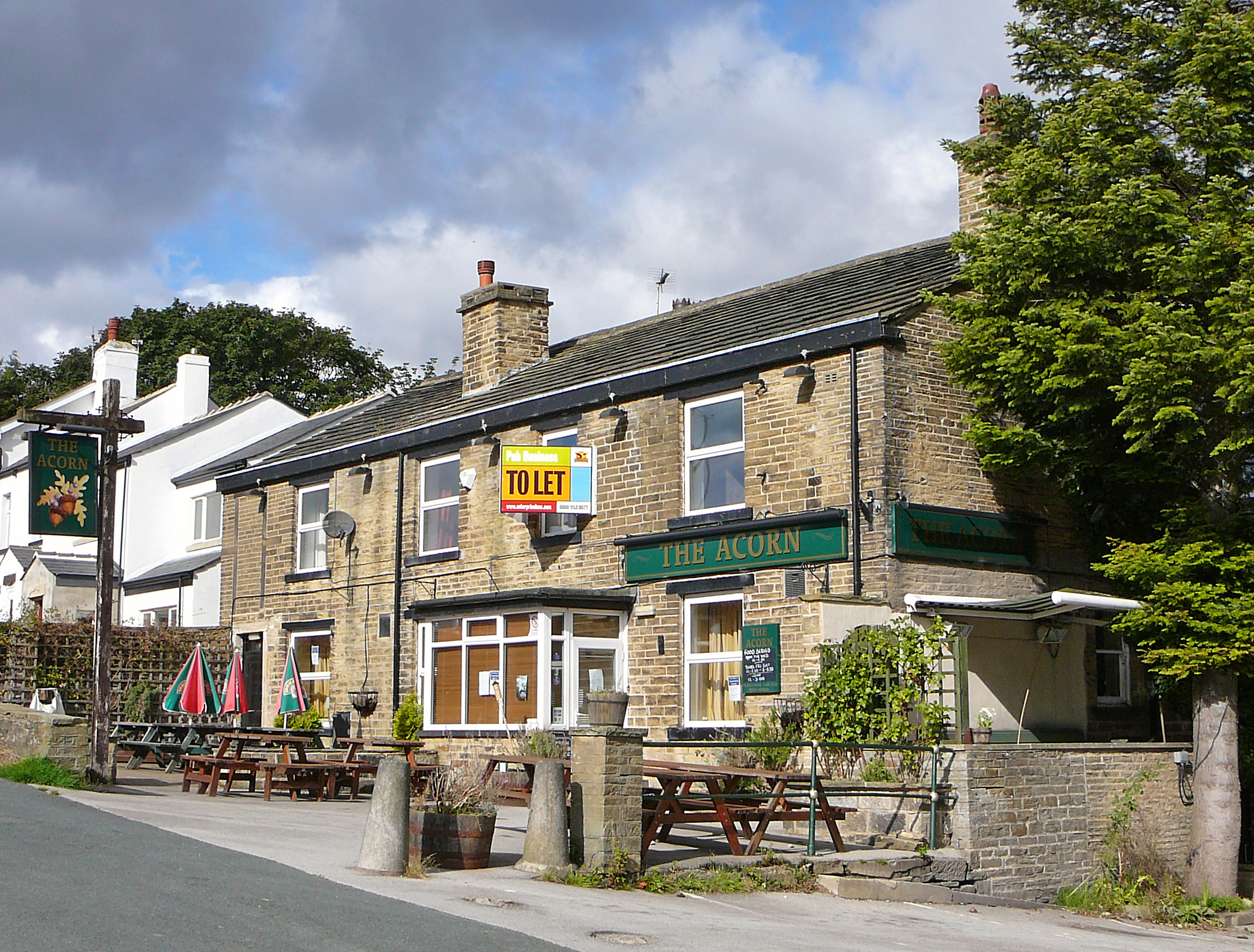
Nearby Locations
Related Wikis
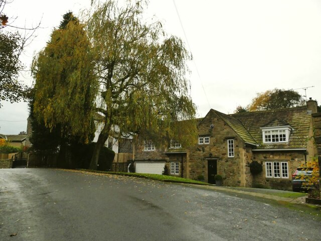
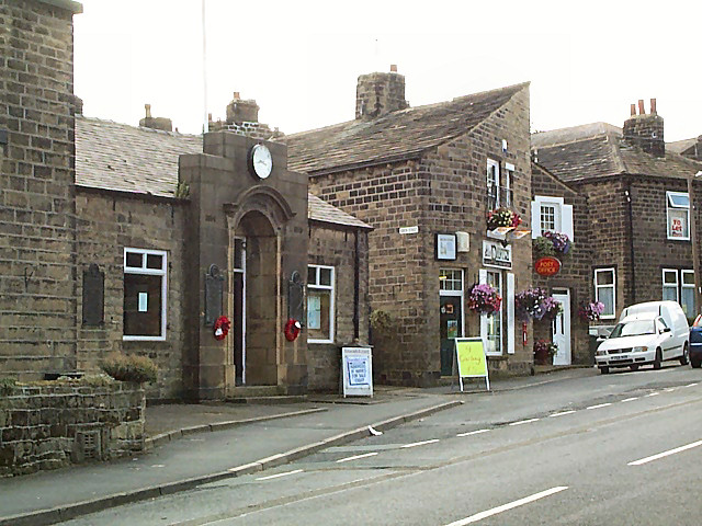
Eldwick
Eldwick is a small village near Bingley in the City of Bradford district in West Yorkshire. It is split up into two main parts, Eldwick, the main populated...
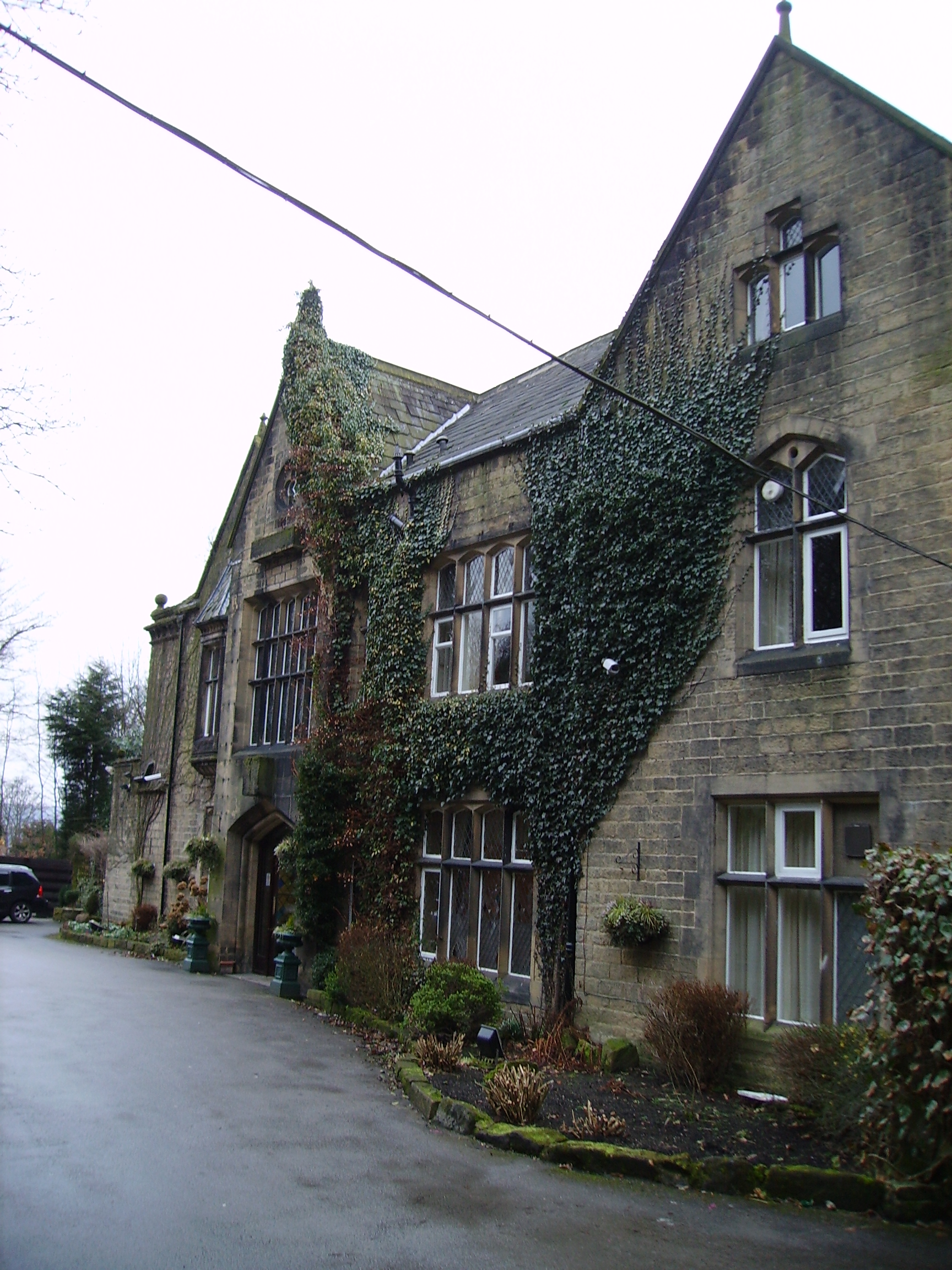
Oakwood Hall
Oakwood Hall, Bingley, West Yorkshire, England is a 19th-century mansion with interior fittings by the Victorian architect William Burges. The hall was...

Welcome Way
The Welcome Way is a 36-mile (58 km) walking route in West Yorkshire, England. It connects Otley, Baildon, Burley in Wharfedale and Bingley, and takes...
East Morton
East Morton is a small village which lies 2 miles (3 km) north of Bingley and 2.5 miles (4 km) east of Keighley, in the county of West Yorkshire, England...

Crossflatts
Crossflatts is a ribbon development in Airedale along the old route of the A650 road between Bingley and Keighley, in the Metropolitan Borough of Bradford...

Bingley Five Rise Locks
Bingley Five-Rise Locks is a staircase lock on the Leeds and Liverpool Canal at Bingley (grid reference SE107399). As the name implies, a boat passing...

Crossflatts railway station
Crossflatts railway station serves the Crossflatts area of Bingley, north of Bradford in West Yorkshire, England. The station is on the Airedale Line...

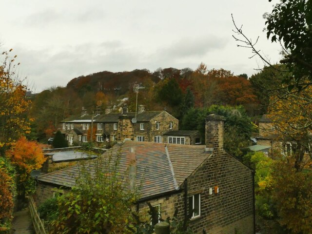
Gilstead
Gilstead is a village within the City of Bradford Metropolitan District, West Yorkshire, England. It is situated at the edge of the moors, above the town...
Nearby Amenities
Located within 500m of 53.871531,-1.8183295Have you been to Intake Wood?
Leave your review of Intake Wood below (or comments, questions and feedback).