Lamigo
Settlement in Sutherland
Scotland
Lamigo
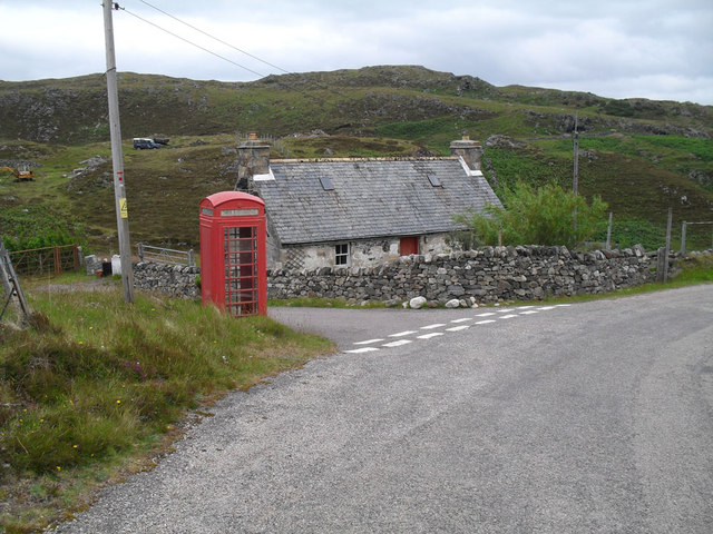
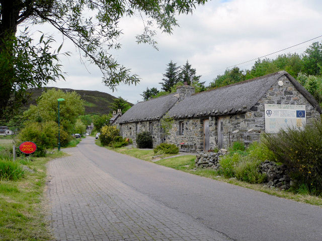
Lamigo is a small village located in the Sutherland region of Scotland. Situated in the northern part of the Highlands, Lamigo is known for its picturesque landscapes and tranquil atmosphere. With a population of just over 100 residents, it is a close-knit community that offers a peaceful retreat from the hustle and bustle of city life.
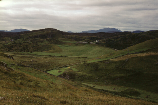
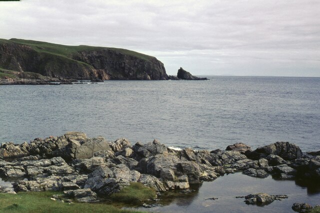
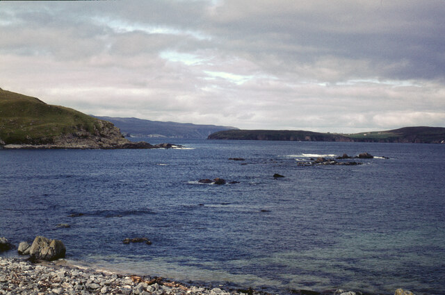
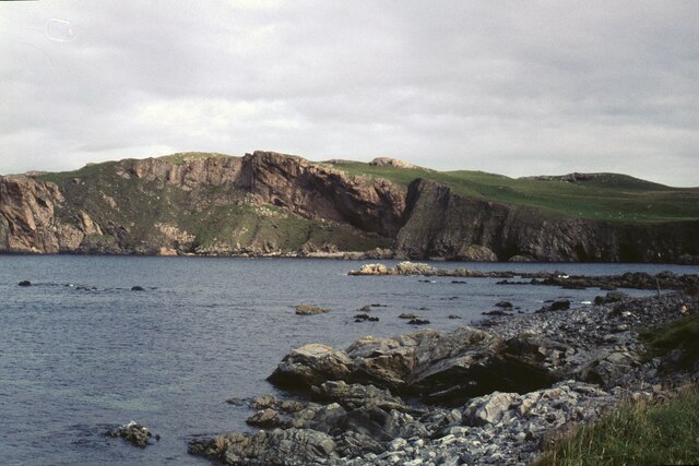
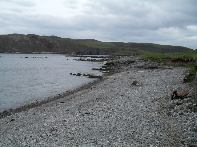
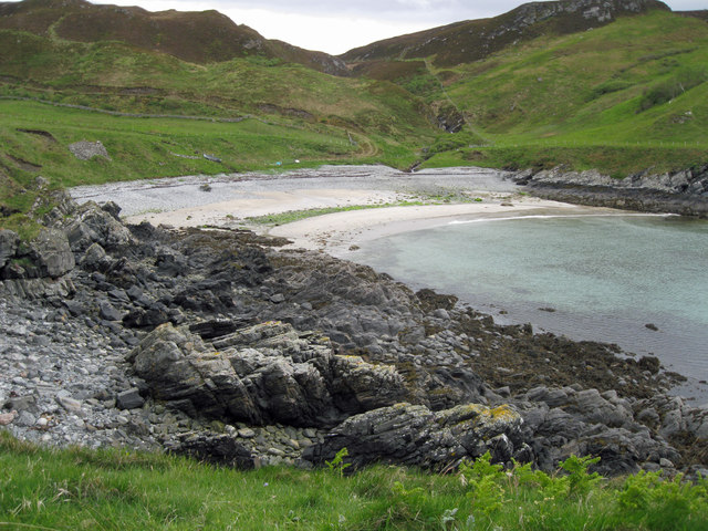
Surrounded by rolling hills and vast moorlands, Lamigo is a paradise for outdoor enthusiasts and nature lovers. The village is situated near the renowned North Coast 500 route, making it a popular stopover for tourists exploring the rugged beauty of the Scottish Highlands. Visitors can enjoy activities such as hiking, fishing, and birdwatching in the surrounding areas.
Lamigo is also home to a few historic landmarks, including the Lamigo Castle ruins. These ancient ruins provide a glimpse into the village's rich history and attract history buffs and archaeology enthusiasts.
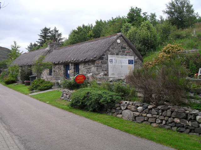
In terms of amenities, Lamigo has a small village shop that caters to the daily needs of the residents. However, for more extensive shopping and dining options, residents often travel to nearby towns such as Dornoch or Golspie.
Overall, Lamigo offers a serene and idyllic setting for those seeking a peaceful getaway in the Scottish Highlands. Its natural beauty, historic landmarks, and friendly community make it a charming destination for both visitors and residents alike.
If you have any feedback on the listing, please let us know in the comments section below.
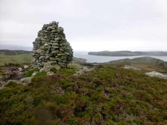
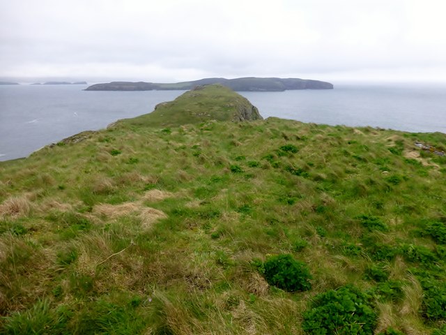
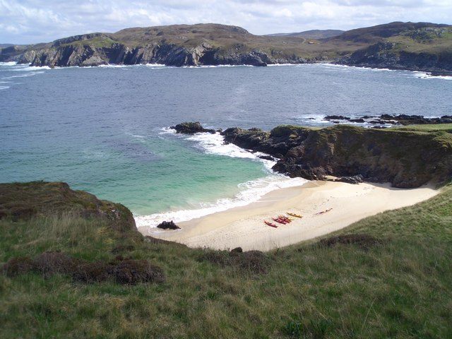
Lamigo Images
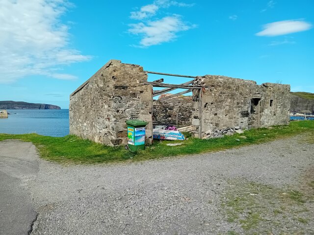
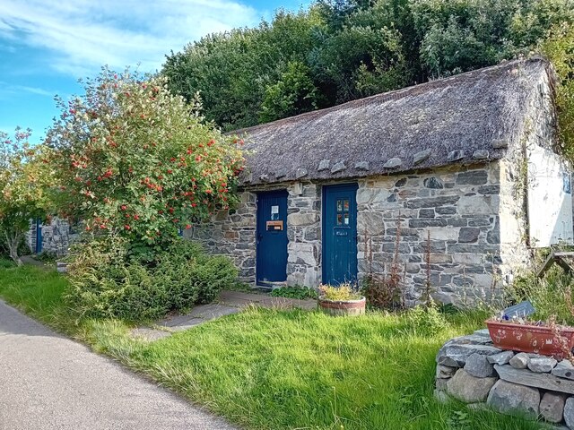
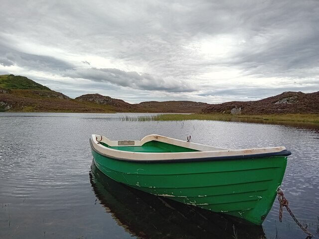
Images are sourced within 2km of 58.535492/-4.3145404 or Grid Reference NC6563. Thanks to Geograph Open Source API. All images are credited.
Lamigo is located at Grid Ref: NC6563 (Lat: 58.535492, Lng: -4.3145404)
Unitary Authority: Highland
Police Authority: Highlands and Islands
What 3 Words
///mealtime.slope.burns. Near Altnaharra, Highland
Nearby Locations
Related Wikis

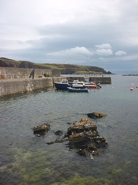
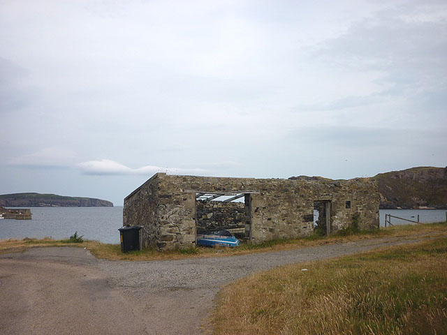
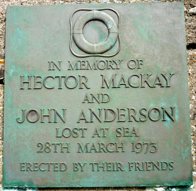
Skerray
Skerray (Scottish Gaelic: Sgeirea) is a remote small crofting hamlet and fishing port on the north coast of Sutherland, Scotland. It is located 7+3⁄4 miles...
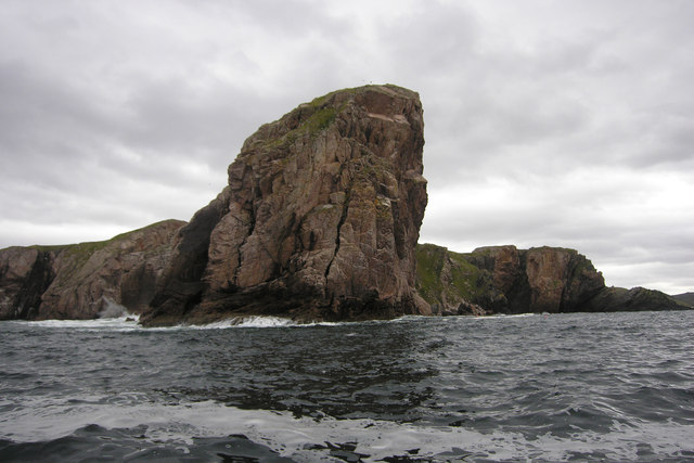
Skerray Bay
Skerray Bay is an arm of the Atlantic Ocean, located on the north coast of Sutherland, Highland, Scotland. Small and rocky, it is situated to the north...

Neave Island
Neave Island (Scottish Gaelic: Eilean na Naoimh, "Isle of the Saint") or Coomb(e) Island is an island on the north coast of the Scottish mainland. Neave...
Achtoty
Achtoty (Scottish Gaelic: Achadh Toitidh) is a remote hamlet in the Scottish Highland Council area. Achtoty is about 26 miles (42 km) west of Thurso....
Nearby Amenities
Located within 500m of 58.535492,-4.3145404Have you been to Lamigo?
Leave your review of Lamigo below (or comments, questions and feedback).