Lambrook

Settlement in Somerset South Somerset

England

Lambrook

Mildmay Arms, Queen Camel Fronting onto the A359, this is the local hostelry for the residents of Queen Camel - the photograph also showing the church tower behind
Mildmay Arms, Queen Camel Credit: Chris Heaton

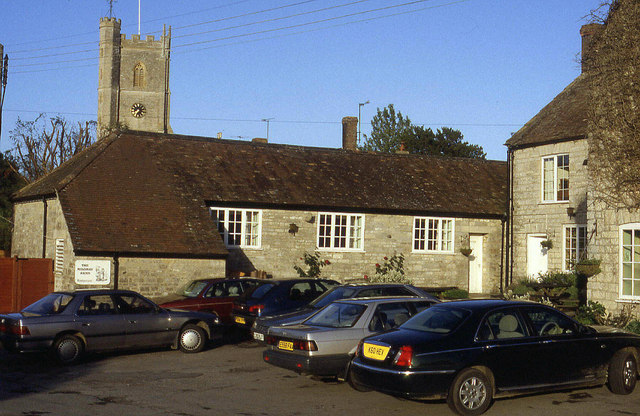
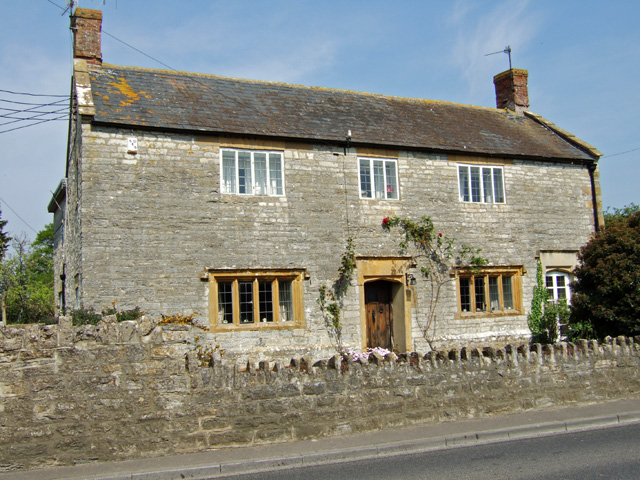
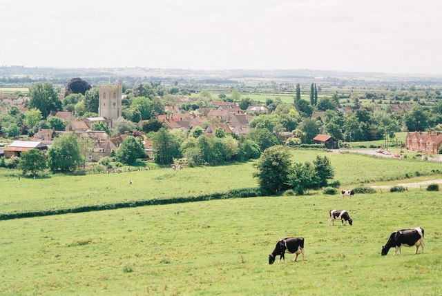
Lambrook is a small village located in Somerset, England. Situated in the South West region of the country, it is nestled within the picturesque countryside of the Somerset Levels. Lambrook is part of the Mendip district and falls under the administrative jurisdiction of Somerset County Council.

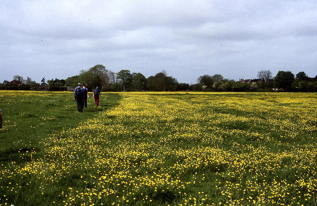
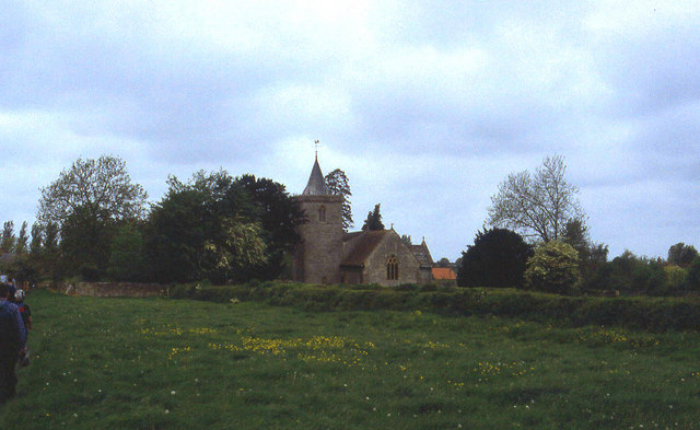
The village is predominantly rural, characterized by its charming cottages and sprawling farmland. It has a relatively small population, typically consisting of friendly and tight-knit community members. The village is well-known for its tranquil and idyllic setting, making it a popular destination for those seeking a peaceful retreat from urban life.

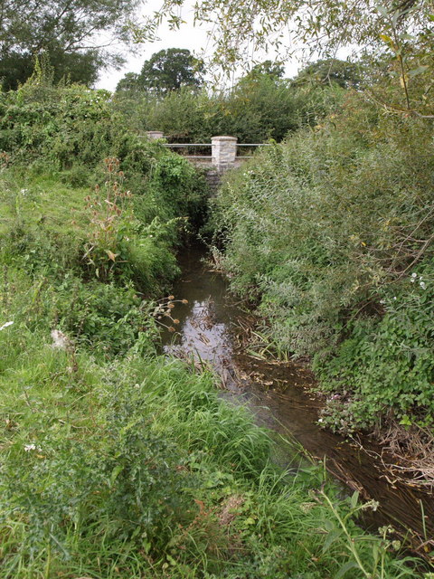
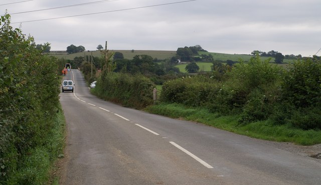
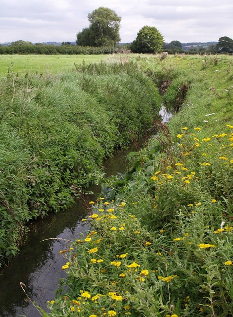
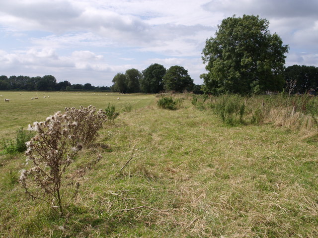
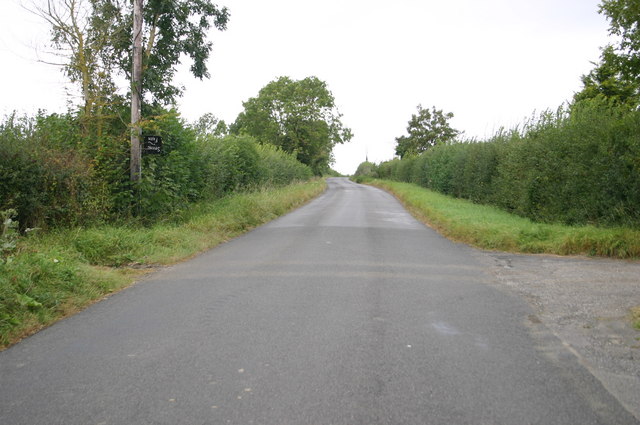
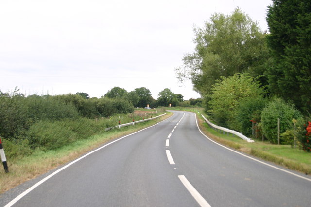
Lambrook is surrounded by natural beauty, with various walking and cycling routes that allow visitors to explore the stunning landscapes of Somerset. The nearby River Brue adds to the village's charm, providing opportunities for fishing and leisurely riverside strolls.

Despite its size, Lambrook offers a range of amenities to its residents and visitors. These include a village hall, a local pub, and a primary school, ensuring that the community's needs are catered to.

The village is also conveniently located near larger towns and cities, with Glastonbury and Street just a short drive away. This provides residents with easy access to a wider range of services and facilities.

Overall, Lambrook is a serene and welcoming village, offering a peaceful and countryside lifestyle to its residents while maintaining close proximity to larger urban areas.

If you have any feedback on the listing, please let us know in the comments section below.
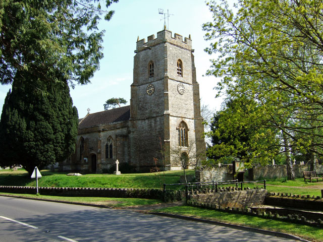
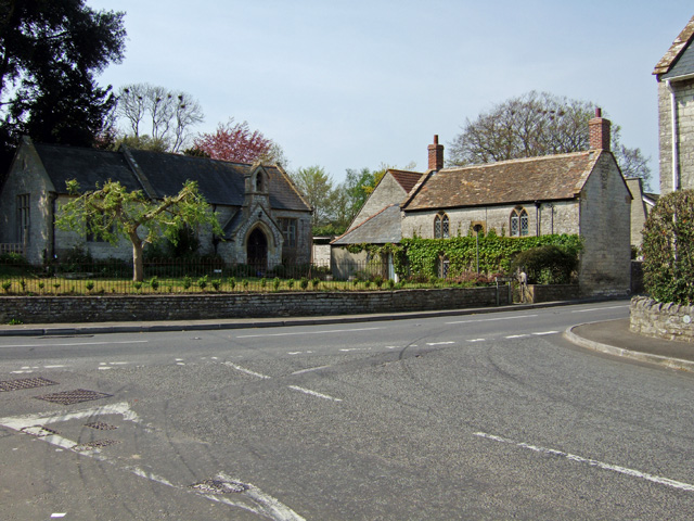
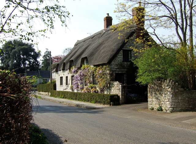
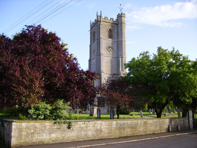
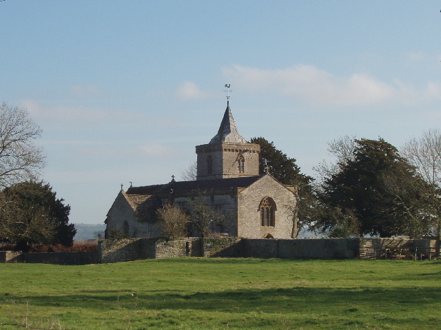
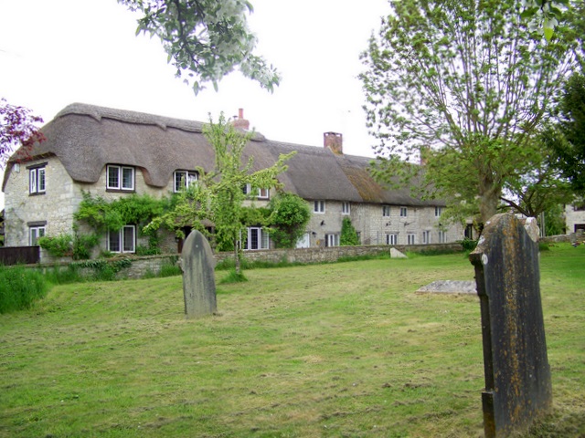
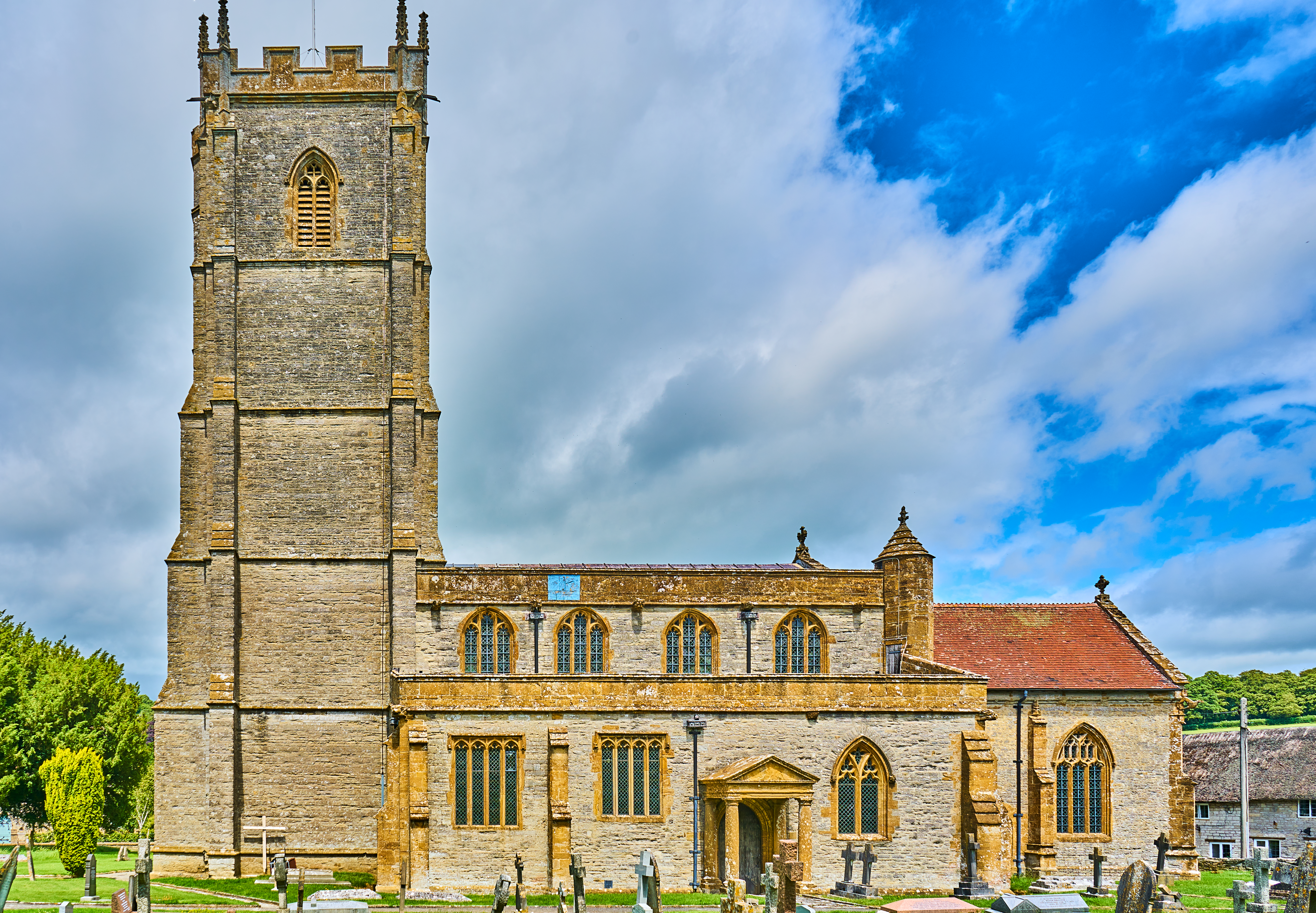
Lambrook Images

Images are sourced within 2km of 51.007393/-2.5794653 or Grid Reference ST5923. Thanks to Geograph Open Source API. All images are credited.

Mildmay Arms, Queen Camel Fronting onto the A359, this is the local hostelry for the residents of Queen Camel - the photograph also showing the church tower behind
Mildmay Arms, Queen Camel
Fronting onto the A359, this is the local hostelry for the residents of Queen Camel - the photograph also showing the church tower behind
Leland Trail near Queen Camel Following the trail westwards through meadows towards West Camel
Leland Trail near Queen Camel
Following the trail westwards through meadows towards West Camel
All Saints Church, West Camel The church is the first building encountered in the village for Leland Trail walkers approaching from Queen Camel
All Saints Church, West Camel
The church is the first building encountered in the village for Leland Trail walkers approaching from Queen Camel
Wickham Farmhouse - Marston Magna Grade II listed farmhouse, C17, with modifications.
Wickham Farmhouse - Marston Magna
Grade II listed farmhouse, C17, with modifications.
Church of the Blessed Virgin Mary - Marston Magna The church contains traces of Saxon herringbone work and has a Norman font.
Church of the Blessed Virgin Mary - Marston Magna
The church contains traces of Saxon herringbone work and has a Norman font.
Marston Magna View is from the junction of the Rimpton road with the A359. The building on the right is the former schoolhouse dated 1800, and is Grade II listed.
Marston Magna
View is from the junction of the Rimpton road with the A359. The building on the right is the former schoolhouse dated 1800, and is Grade II listed.
Ashe House - Marston Magna Grade II listed late C18.
Ashe House - Marston Magna
Grade II listed late C18.
St Barnabas Church Queen Camel Medieval church  dated 1400 to 1500
St Barnabas Church Queen Camel
Medieval church dated 1400 to 1500
Queen Camel from Sparkford Hill
Mill Stream The stream flows away from the camera under the lane from Two Elms to West Camel. Taken from footpath Y15/3 which runs beside it from Marston Magna to near Chilton Cantelo.
Mill Stream
The stream flows away from the camera under the lane from Two Elms to West Camel. Taken from footpath Y15/3 which runs beside it from Marston Magna to near Chilton Cantelo.
B3148 to Sherborne Traffic is very light on this road between Marston Magna and Sherborne, as notices announce it is closed. There are certainly traffic lights in operation on Park Bridge, some 200 metres ahead, where the road crosses the Yeovil-Castle Cary railway line, but some vehicles still seem to be getting through in both directions. In the distance is Rimpton Hill.
B3148 to Sherborne
Traffic is very light on this road between Marston Magna and Sherborne, as notices announce it is closed. There are certainly traffic lights in operation on Park Bridge, some 200 metres ahead, where the road crosses the Yeovil-Castle Cary railway line, but some vehicles still seem to be getting through in both directions. In the distance is Rimpton Hill.
Common Fleabane by Mill Stream A large patch of Pulicaria dysenterica grows by the stream.
Common Fleabane by Mill Stream
A large patch of Pulicaria dysenterica grows by the stream.
Mill Stream The stream, a tributary of the Yeo, is flowing towards the camera, approaching the scene shown in <a href="https://www.geograph.org.uk/photo/541683">ST5822 : Mill Stream</a>. The fleabane shown in <a href="https://www.geograph.org.uk/photo/542793">ST5822 : Common Fleabane by Mill Stream</a> was photographed from the flowers in the foreground.
Mill Stream
The stream, a tributary of the Yeo, is flowing towards the camera, approaching the scene shown in ST5822 : Mill Stream. The fleabane shown in ST5822 : Common Fleabane by Mill Stream was photographed from the flowers in the foreground.
Field beside Mill Stream Footpath Y15/3 runs beside the stream, which has just emerged from the small bridge shown in <a href="https://www.geograph.org.uk/photo/541683">ST5822 : Mill Stream</a>.
Field beside Mill Stream
Footpath Y15/3 runs beside the stream, which has just emerged from the small bridge shown in ST5822 : Mill Stream.
Lane at Spring farm Lane at Spring farm heading towards West Camel
Lane at Spring farm
Lane at Spring farm heading towards West Camel
A359 at Lambrook Cottage A359 at Lambrook Cottage heading towards Marston Magna
A359 at Lambrook Cottage
A359 at Lambrook Cottage heading towards Marston Magna
All Saints Church, West Camel, from Parsonage Road View from the bridge over the Cam in the village. All Saints Church was built in the 13th/14th Centuries but there are fragments from the 9th or 10th Century, and records show there was a wooden church around 995 AD - see <span class="nowrap"><a title="http://www.westcamel.org.uk/churches.htm" rel="nofollow ugc noopener" href="http://www.westcamel.org.uk/churches.htm">Link</a><img style="margin-left:2px;" alt="External link" title="External link - shift click to open in new window" src="https://s1.geograph.org.uk/img/external.png" width="10" height="10"/></span> . The height was increased in the 15th Century, the little spire over the tower was added in 1631.
All Saints Church, West Camel, from Parsonage Road
View from the bridge over the Cam in the village. All Saints Church was built in the 13th/14th Centuries but there are fragments from the 9th or 10th Century, and records show there was a wooden church around 995 AD - see LinkExternal link . The height was increased in the 15th Century, the little spire over the tower was added in 1631.
Thatched cottages, Queen Camel A row of pretty thatched cottages on Grace Martin Lane.  The cottages date from the mid 18th century.
Thatched cottages, Queen Camel
A row of pretty thatched cottages on Grace Martin Lane. The cottages date from the mid 18th century.
Show me another place!

Lambrook is located at Grid Ref: ST5923 (Lat: 51.007393, Lng: -2.5794653)

Administrative County: Somerset

District: South Somerset

Police Authority: Avon and Somerset

What 3 Words

///gravy.clarifies.lost. Near Ilchester, Somerset

Nearby Locations

Lambrook

Related Wikis

Marston Magna

Marston Magna (also known as Broad or Great Marston) is a village and civil parish in Somerset, England, situated 5 miles (8.0 km) north of Yeovil in the...

St Mary's Church, Marston Magna

The Church of St Mary in Marston Magna, Somerset, England can date its origins to before the Norman Conquest, however the present building largely dates...

Marston Magna railway station

Marston Magna railway station served the village of Marston Magna, Somerset, England from 1856 to 1966 on Heart of Wessex Line. == History == The station...

Queen Camel

Queen Camel is a village and civil parish, on the River Cam and the A359 road, in the unitary authority of Somerset, England. It is about 7 miles (11.3...

Camelot (ward)

Camelot is an electoral ward of South Somerset District Council in Somerset, England. It is one of the wards that makes up the parliamentary constituency...

Church of St Barnabas, Queen Camel

The Church of St Barnabas in Queen Camel, Somerset, England was built in the 14th century and has been designated as a Grade I listed building.A former...

Church of All Saints, West Camel

The Church of All Saints in West Camel, Somerset, England, dates from the late 14th century and has been designated as a Grade I listed building.There...

Chilton Cantelo

Chilton Cantelo is a village and parish in Somerset, England, situated on the River Yeo 5 miles (8 km) north of Yeovil and 4 miles (6 km) east of Ilchester...

Nearby Amenities

Located within 500m of 51.007393,-2.5794653
The data included in this document is from www.openstreetmap.org. The data is made available under ODbL.

Have you been to Lambrook?

Leave your review of Lambrook below (or comments, questions and feedback).