Lampardbrook
Settlement in Suffolk East Suffolk
England
Lampardbrook
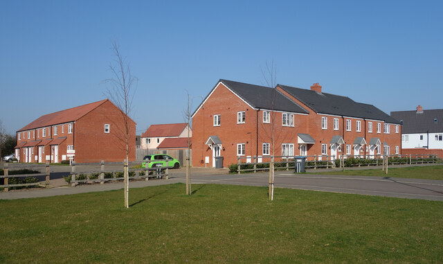
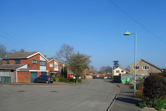
Lampardbrook is a quaint village located in the county of Suffolk, England. Situated amidst picturesque landscapes and surrounded by lush greenery, the village offers a serene and peaceful environment to its residents and visitors alike. With a population of approximately 500 people, Lampardbrook maintains a close-knit community atmosphere.
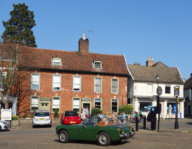
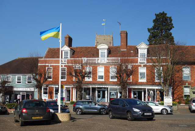
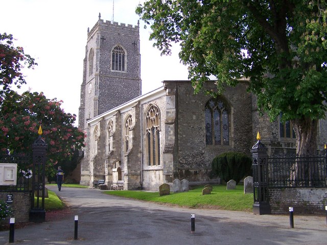
The village is known for its charming architecture, with many traditional cottages and historic buildings dotting the streets. These buildings showcase the rich heritage and history of the area, giving Lampardbrook a distinctive character. The centerpiece of the village is the St. Mary's Church, an exquisite example of medieval architecture, which dates back to the 12th century. This beautiful church attracts tourists and locals alike, with its stunning stained glass windows and intricate stone carvings.
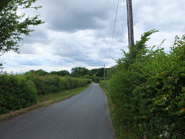
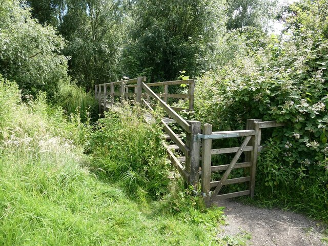
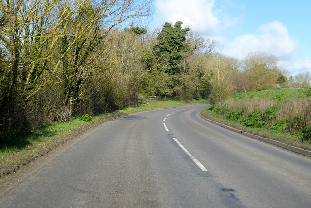
Lampardbrook is blessed with natural beauty, with the rolling hills of the Suffolk countryside providing a picturesque backdrop. The village is surrounded by expansive farmlands, where farmers cultivate crops and rear livestock. The countryside also offers numerous walking trails and scenic routes, making it a haven for nature lovers and outdoor enthusiasts.
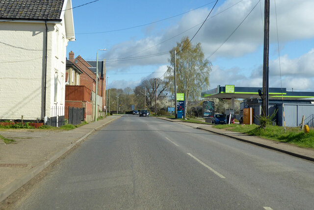
While Lampardbrook is predominantly a residential area, it does have a few amenities to cater to the needs of its residents. There is a small village shop that provides essential supplies, and a cozy village pub where locals can socialize and unwind. The village also hosts a variety of community events throughout the year, fostering a sense of togetherness and camaraderie among its residents.
Lampardbrook truly encapsulates the essence of a quintessential English village, with its idyllic setting, historic charm, and strong community spirit.
If you have any feedback on the listing, please let us know in the comments section below.
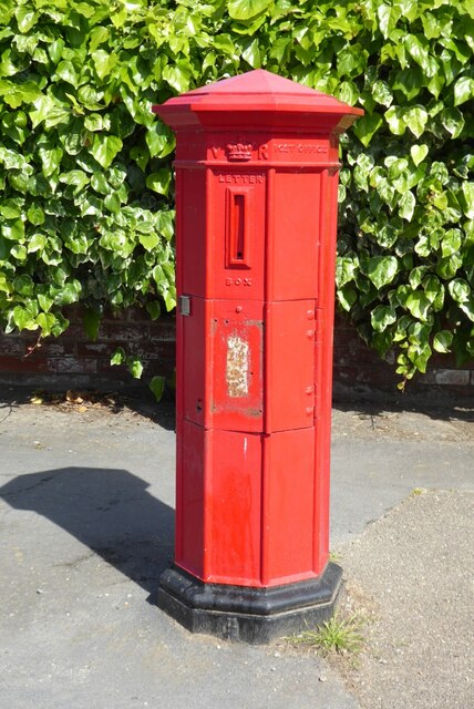
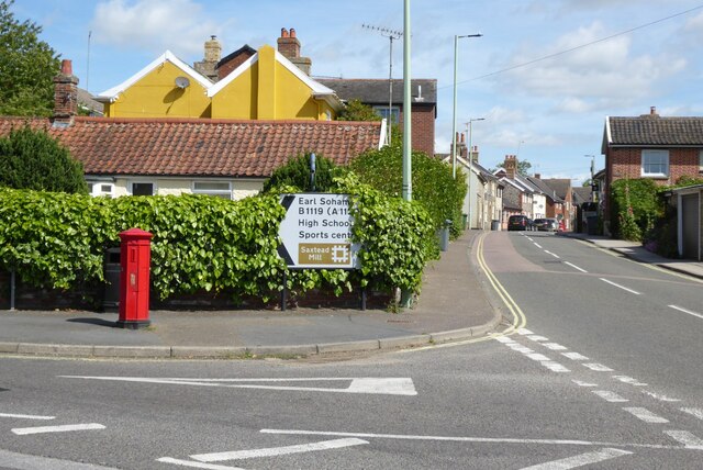
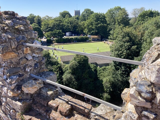
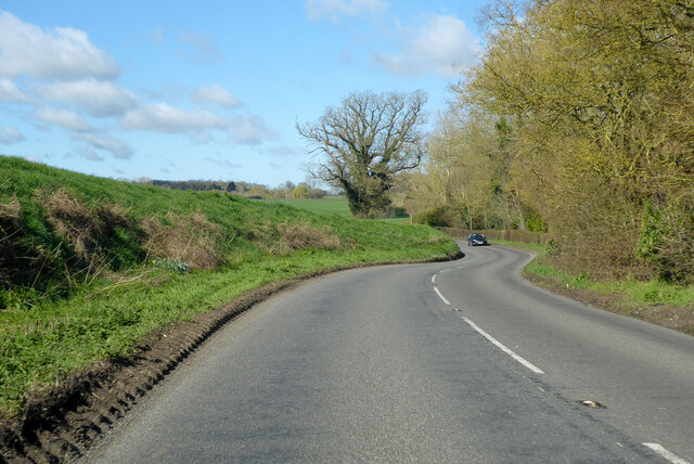
Lampardbrook Images
Images are sourced within 2km of 52.207815/1.3319469 or Grid Reference TM2761. Thanks to Geograph Open Source API. All images are credited.
Lampardbrook is located at Grid Ref: TM2761 (Lat: 52.207815, Lng: 1.3319469)
Administrative County: Suffolk
District: East Suffolk
Police Authority: Suffolk
What 3 Words
///slimming.videos.ombudsman. Near Framlingham, Suffolk
Nearby Locations
Related Wikis
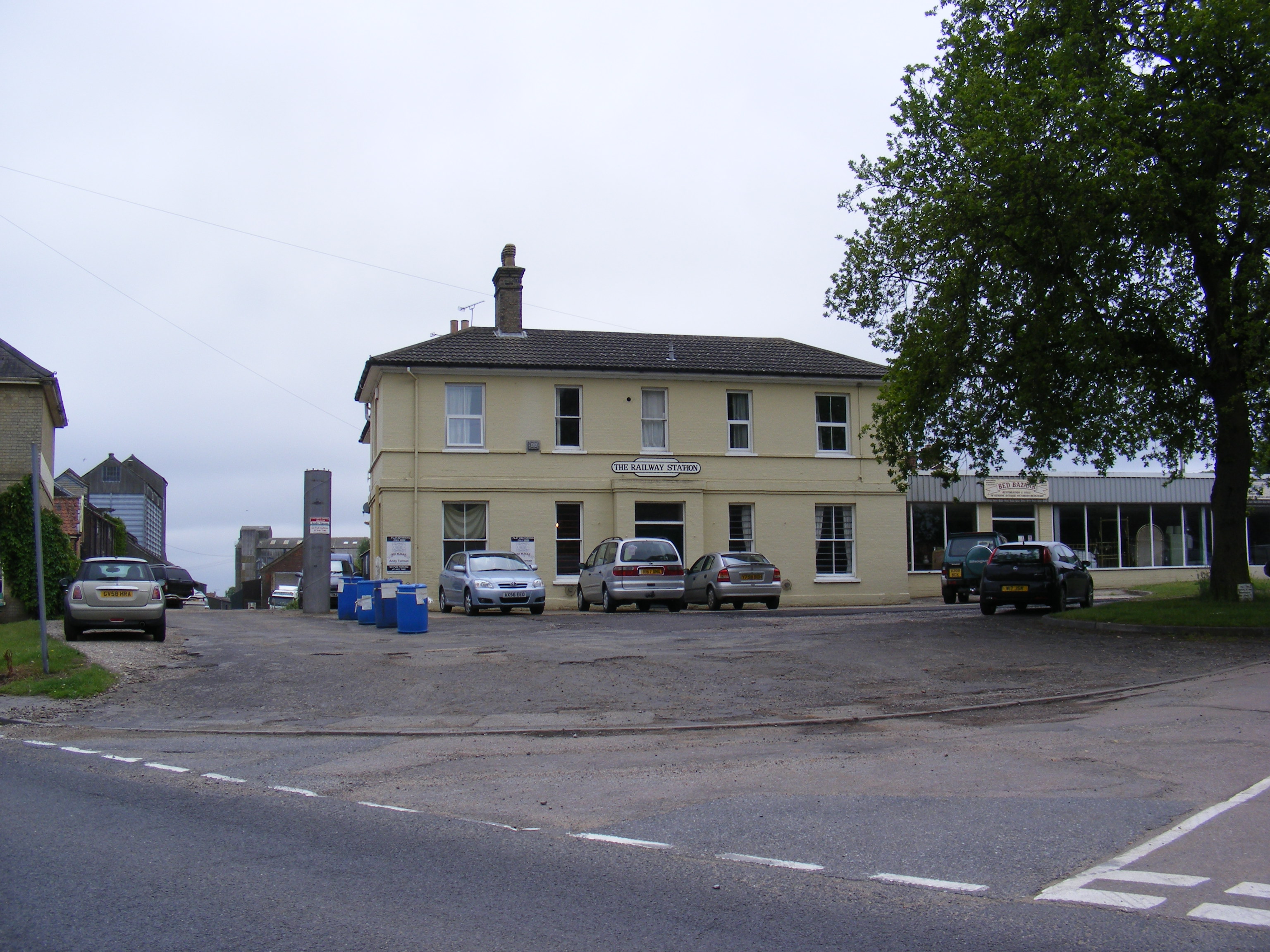
Framlingham railway station
Framlingham railway station was located in Framlingham, Suffolk, UK and was the terminus station on the Framlingham Branch. It opened on 1 June 1859 and...

Loes Hundred
Loes was a hundred of Suffolk, with an area of 31,321 acres (126.75 km2).Loes Hundred was long and thin in shape, around 15 miles (24 km) long and between...

Apsey Green
Apsey Green is a hamlet in Suffolk, England. == External links == Media related to Apsey Green at Wikimedia Commons

Sir Robert Hitcham's Almshouses
Sir Robert Hitcham's Almshouses are grade II* listed almshouses in New Road, Framlingham, Suffolk, England. They were built in 1654 under the will of Sir...
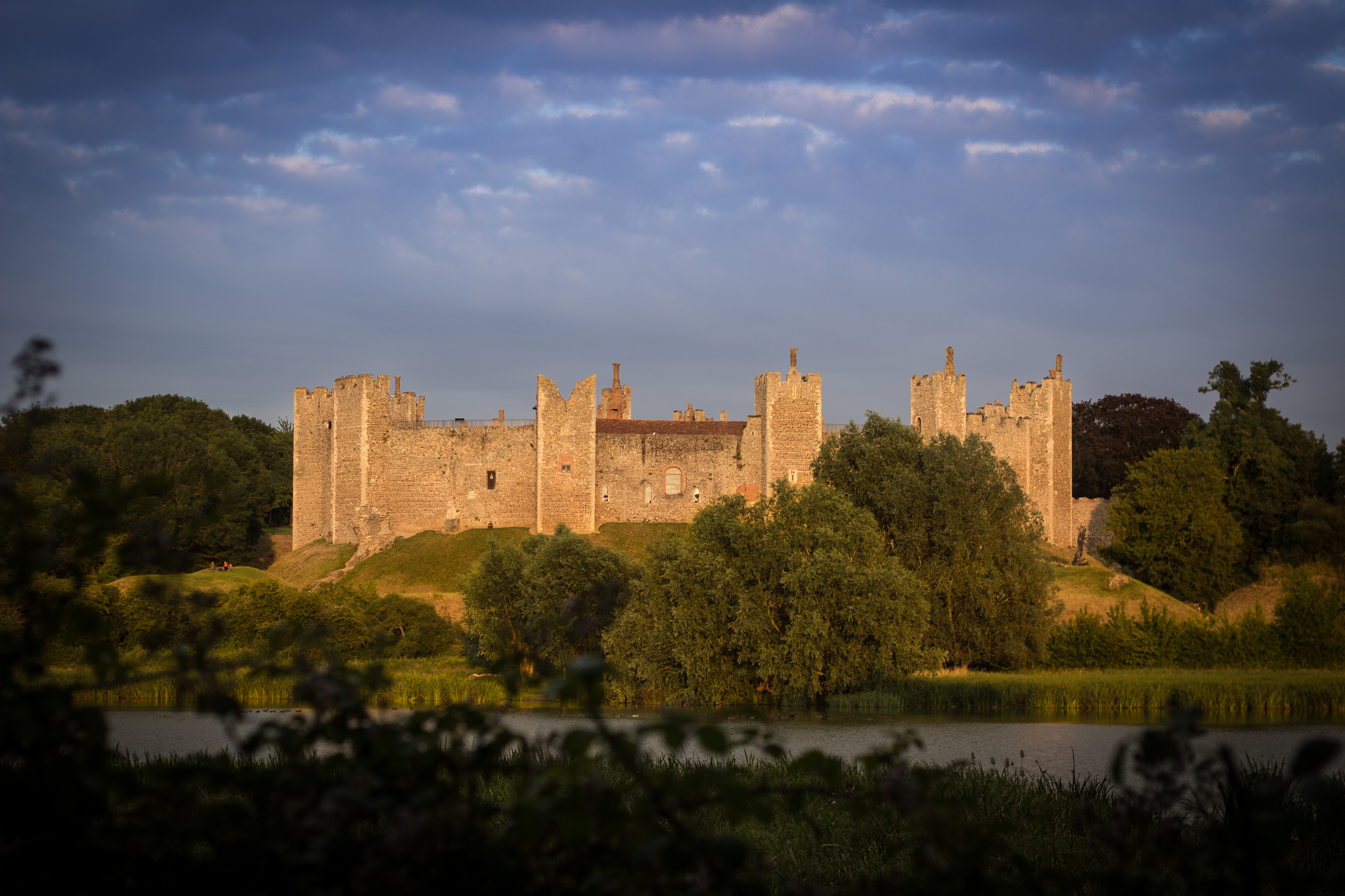
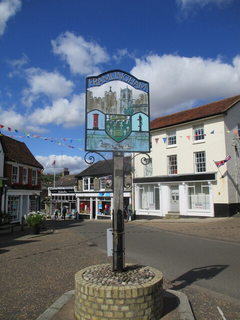
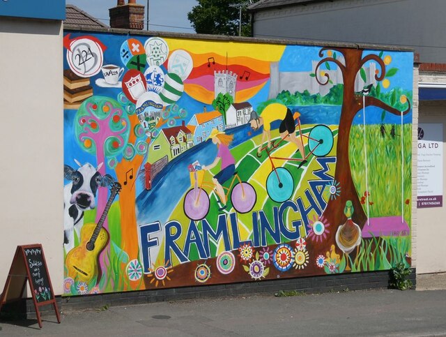
Framlingham
Framlingham is a market town and civil parish in Suffolk, England. Of Anglo-Saxon origin, it appears in the 1086 Domesday Book. The parish had a population...

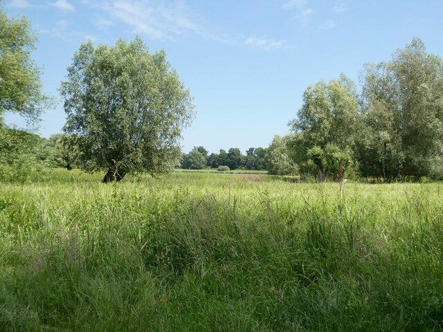
Framlingham Mere
Framlingham Mere is a 13.8-hectare nature reserve in Framlingham in Suffolk. It is managed by the Suffolk Wildlife Trust.This site has a lake and wet meadows...

Regency House
Regency House is a grade II* listed house at 7 Church Street in Framlingham, Suffolk, England. The house is timber-framed, of three storeys, and dates...
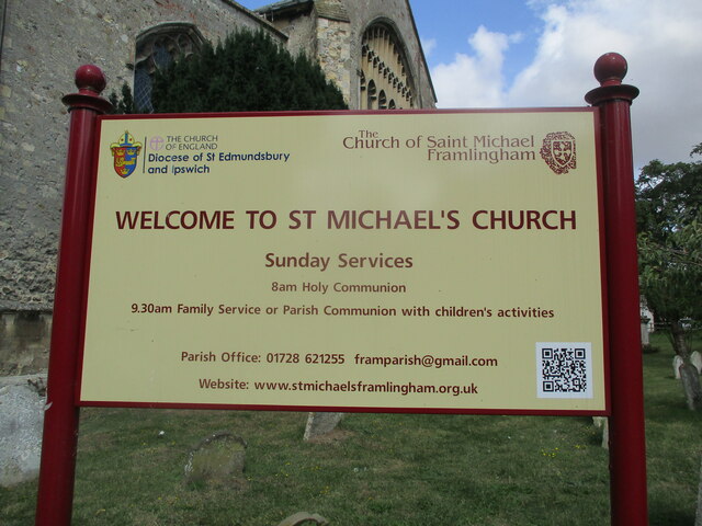
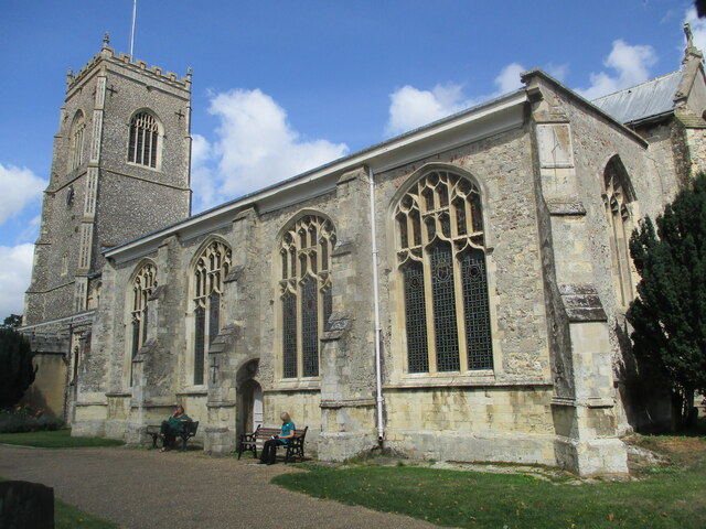
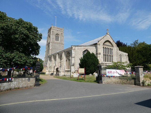
St Michael the Archangel's Church, Framlingham
St Michael's Church in Framlingham, Suffolk is a Church of England church dedicated to Saint Michael. It was the burial site of the Howard family. The...
Related Videos

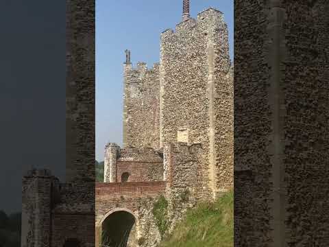
Framlingham Castle- Finally some sunshine!!! #englishheritage
A trip to one of our fav castles in England, that being Framlingham Castle in the town of Framlingham in Suffolk. This 12th Century ...

Walking the walls at Framlingham castle
We spent a morning at Framlingham Castle,finding out more about the history in the museum, the historical cement making, and ...
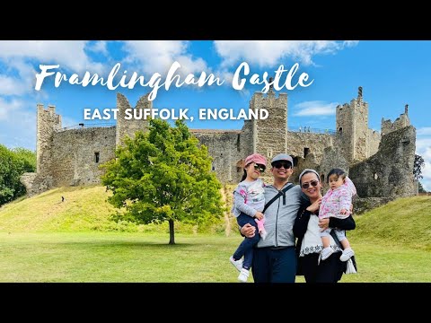
FRAMLINGHAM CASTLE | SUMMER 2021
OUR SUMMER GETAWAY AT FRAMLINGHAM CASTLE LAST AUGUST 2021. #FramlinghamCastle #LifeintheUK #PinoyinUK ...
Nearby Amenities
Located within 500m of 52.207815,1.3319469Have you been to Lampardbrook?
Leave your review of Lampardbrook below (or comments, questions and feedback).