Knowle End

Settlement in Warwickshire Stratford-on-Avon

England

Knowle End

Radway-Langdon Lane Farm building on M.O.D. Land near Glebe Farm.
Radway-Langdon Lane Credit: Ian Rob

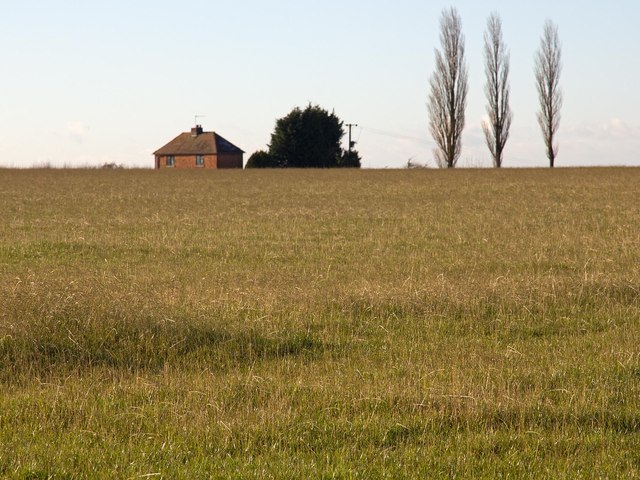
Knowle End is a small village located in the county of Warwickshire, England. Situated approximately 7 miles southeast of the town of Warwick, it falls within the Stratford-on-Avon district. The village is nestled amidst the scenic countryside, surrounded by fields and agricultural land.

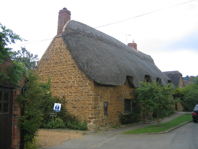
Known for its picturesque charm, Knowle End offers a tranquil and idyllic setting for its residents. The village is primarily residential, featuring a mix of traditional cottages and more modern houses. The architecture is reflective of the area's rural character, with many buildings constructed using locally sourced materials such as red brick and timber.

Despite its small size, Knowle End benefits from a strong sense of community. The village has a close-knit population, and residents often come together for various social events and activities. The local pub serves as a focal point for the community, providing a gathering place for both residents and visitors.

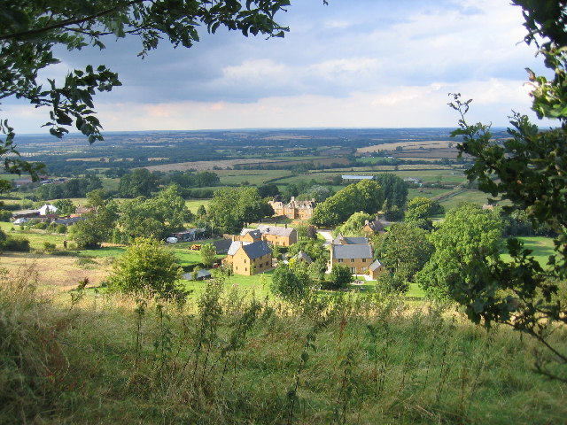
Nature enthusiasts are drawn to Knowle End due to its proximity to several notable natural attractions. The village is located near the southern edge of the Warwickshire countryside, offering easy access to beautiful walking trails and scenic views. Additionally, the nearby River Avon provides opportunities for fishing and boating.

While Knowle End may lack major amenities and services, the village enjoys a peaceful and rural lifestyle that appeals to those seeking a slower-paced environment. Its location allows residents to enjoy the best of both worlds – the tranquility of the countryside and the convenience of nearby towns and cities.

If you have any feedback on the listing, please let us know in the comments section below.
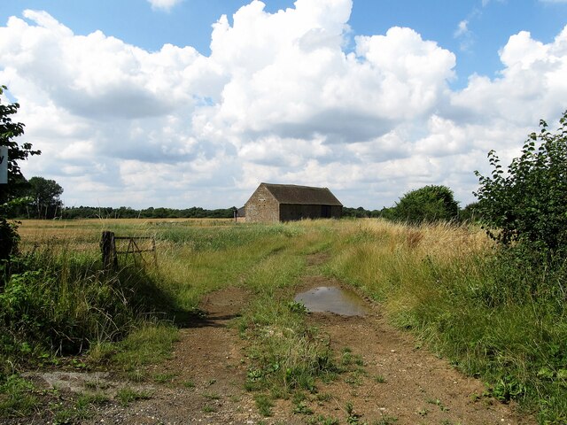
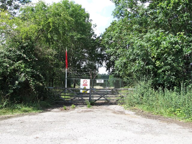
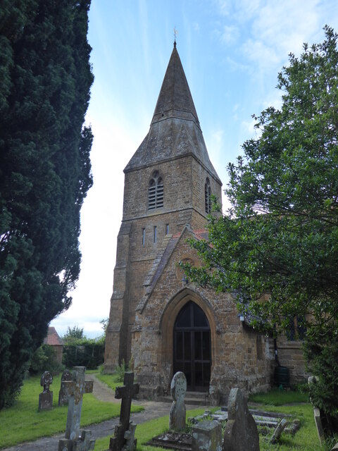
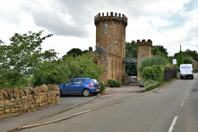
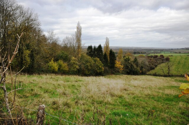
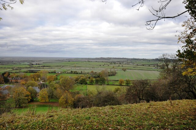
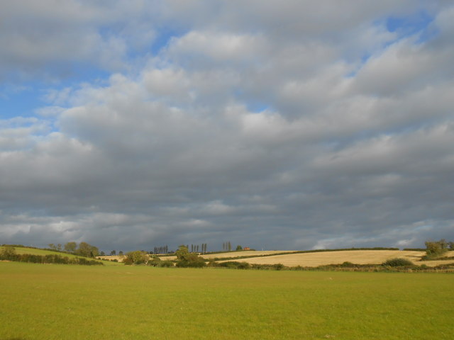
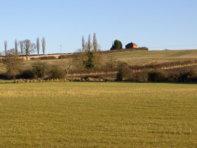
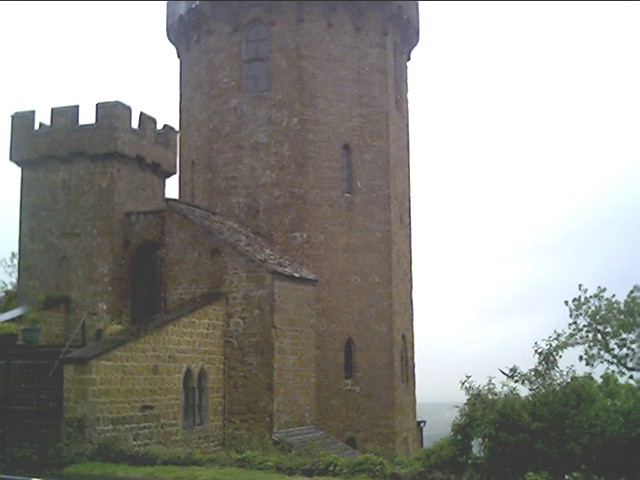
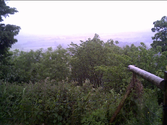
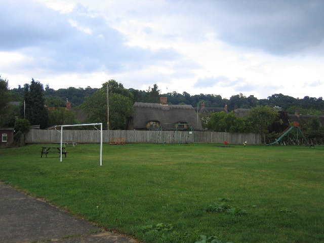
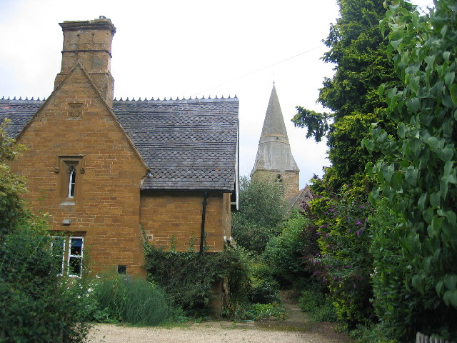
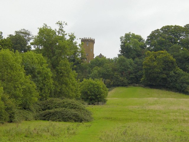
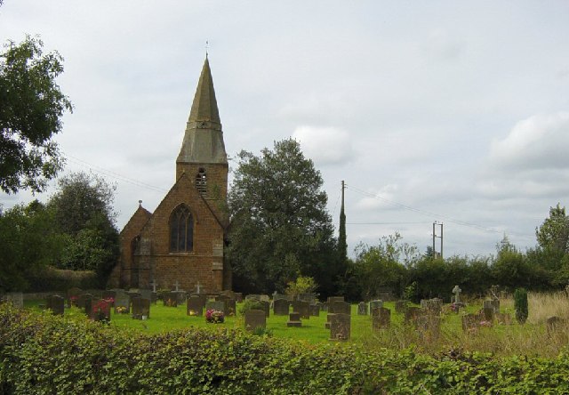
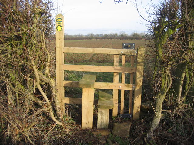
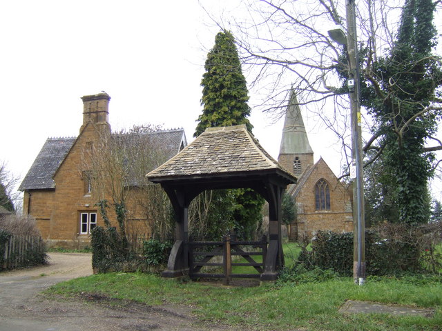
Knowle End Images

Images are sourced within 2km of 52.135121/-1.4425468 or Grid Reference SP3848. Thanks to Geograph Open Source API. All images are credited.

Radway-Langdon Lane Farm building on M.O.D. Land near Glebe Farm.
Radway-Langdon Lane
Farm building on M.O.D. Land near Glebe Farm.
Ministry Of Defence-Kineton Eagle Gate on the road to Temple Herdewyke.
Ministry Of Defence-Kineton
Eagle Gate on the road to Temple Herdewyke.
Radway, St Peter
Radway, St Peter
Edgehill: The Castle Hotel
Edge Hill inclined plane The trees mark the route of the Edge Hill Light Railway inclined plane.  This was a rope-worked incline used to take wagons up and down from ironstone quarries at the top of Edge Hill to Burton Dassett sidings on the Stratford & Midland Junction Railway.  The line closed almost as soon as it was opened in the 1920's due to the changes in ironstone mining after WW1.  It lay dormant in a timewarp until it was dismantled in 1946.
Edge Hill inclined plane
The trees mark the route of the Edge Hill Light Railway inclined plane. This was a rope-worked incline used to take wagons up and down from ironstone quarries at the top of Edge Hill to Burton Dassett sidings on the Stratford & Midland Junction Railway. The line closed almost as soon as it was opened in the 1920's due to the changes in ironstone mining after WW1. It lay dormant in a timewarp until it was dismantled in 1946.
View from Edge Hill Looking across over Arlescote towards the Burton Hills.
View from Edge Hill
Looking across over Arlescote towards the Burton Hills.
Fields near Burton Dassett These fields are on the south side of the M40 motorway from the village. The motorway is just over the crest of the hill. The fields are a mix of pasture and arable.
Fields near Burton Dassett
These fields are on the south side of the M40 motorway from the village. The motorway is just over the crest of the hill. The fields are a mix of pasture and arable.
Burton Hill Looking ESE up the slope of Burton Hill towards the house on the top in the next square at <a href="https://www.geograph.org.uk/gridref/SP39175028">SP39175028</a>.
Burton Hill
Looking ESE up the slope of Burton Hill towards the house on the top in the next square at SP39175028.
House on the hill The house on top of Burton Hill from the B4100.
House on the hill
The house on top of Burton Hill from the B4100.
The Tower next to the Public House, Edge Hill At this spot Charles the first raised his standard to mark the start of the English Civil War.
The Tower next to the Public House, Edge Hill
At this spot Charles the first raised his standard to mark the start of the English Civil War.
Looking down onto the battle field of Edge Hill From the Public House Garden at Edge Hill.
Looking down onto the battle field of Edge Hill
From the Public House Garden at Edge Hill.
View from Edgehill Looking NNE from the Edgehill escarpment, with Arlescote at the foot and then across towards Kineton in the distance, with the site of the Battle of Edge Hill some 2-3 miles away.
View from Edgehill
Looking NNE from the Edgehill escarpment, with Arlescote at the foot and then across towards Kineton in the distance, with the site of the Battle of Edge Hill some 2-3 miles away.
Radway One of several thatched cottages in the village built with the warm coloured local stone.
Radway
One of several thatched cottages in the village built with the warm coloured local stone.
Radway playing fields The playing fields in the centre of the village with another of the thatched cottages in the pretty village.
Radway playing fields
The playing fields in the centre of the village with another of the thatched cottages in the pretty village.
Radway The Old School House with the spire of the church beyond.
Radway
The Old School House with the spire of the church beyond.
Radway Tower Looking SE. A folly and copy of Warwick Castle built in 1742 to commemorate the battle of Edgehill between King Charles I and Parliament in 1642. The Tower is now part of the Castle Inn.
Radway Tower
Looking SE. A folly and copy of Warwick Castle built in 1742 to commemorate the battle of Edgehill between King Charles I and Parliament in 1642. The Tower is now part of the Castle Inn.
St Peter's Church, Radway The church was built in 1867, replacing a small medieval church, and is a Grade 2 listed building.
St Peter's Church, Radway
The church was built in 1867, replacing a small medieval church, and is a Grade 2 listed building.
Arnold's Farm stile This recently installed stile is equipped with a lift-up "dog gate" and is located beside the Kineton - Banbury road.  The footpath heads straight across the field and the way can be seen marked out by what appears to be tractor tracks.
Arnold's Farm stile
This recently installed stile is equipped with a lift-up "dog gate" and is located beside the Kineton - Banbury road. The footpath heads straight across the field and the way can be seen marked out by what appears to be tractor tracks.
Show me another place!

Knowle End is located at Grid Ref: SP3848 (Lat: 52.135121, Lng: -1.4425468)

Administrative County: Warwickshire

District: Stratford-on-Avon

Police Authority: Warwickshire

What 3 Words

///balancing.gamer.conducted. Near Farnborough, Warwickshire

Related Wikis

Arlescote

Arlescote is a village in Warwickshire, England. Arlescote forms part of the district of Stratford-on-Avon and the civil parish of Warmington. This small...

Ratley

Ratley is a village in the civil parish of Ratley and Upton, Stratford-on-Avon District, Warwickshire, England. The population of the civil parish in 2011...

Radway

Radway is a village and civil parish in Warwickshire, England, about 7 miles (11 km) north-west of Banbury in neighbouring Oxfordshire. The population...

Upton House, Warwickshire

Upton House is a country house in the civil parish of Ratley and Upton, in the English county of Warwickshire, about 7 miles (11 km) northwest of Banbury...

Farnborough Rural District

Farnborough was a rural district in Warwickshire, England from 1894 to 1932. It was formed from that part of the Banbury rural sanitary district which...

Warmington, Warwickshire

Warmington is a village and civil parish in the Stratford-on-Avon district of Warwickshire, England. It is located on the border with Oxfordshire, around...

St John the Baptist's Church, Avon Dassett

St John the Baptist's Church is a redundant Anglican church in the village of Avon Dassett, Warwickshire, England. It is recorded in the National Heritage...

Avon Dassett

Avon Dassett is a village and civil parish in the Stratford district of Warwickshire, England, nestling among the Burton Dassett Hills about four miles...

Nearby Amenities

Located within 500m of 52.135121,-1.4425468
Barrier: stile
Source: survey
Lat/Long: 52.133624/-1.4357829
Power: pole
Source: bing
Lat/Long: 52.13279/-1.4363819
Power: pole
Source: bing
Lat/Long: 52.1336766/-1.4359045
Power: pole
Source: bing
Lat/Long: 52.1342166/-1.4356175
The data included in this document is from www.openstreetmap.org. The data is made available under ODbL.

Have you been to Knowle End?

Leave your review of Knowle End below (or comments, questions and feedback).