Knowle End Wood

Wood, Forest in Warwickshire Stratford-on-Avon

England

Knowle End Wood

Derelict Yard at Hornton Quarry Old buildings, one with a faded notice still saying Hornton Quarry.
Older pictures <a href="https://www.geograph.org.uk/photo/1833757">SP3746 : Edgehill quarry</a> for example, show work going on at the quarry but I don't know if it is still a going concern. This bit isn't, for sure.
Derelict Yard at Hornton Quarry Credit: Des Blenkinsopp

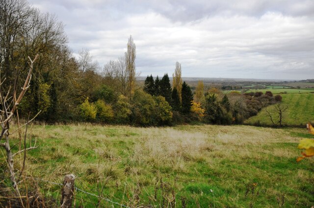
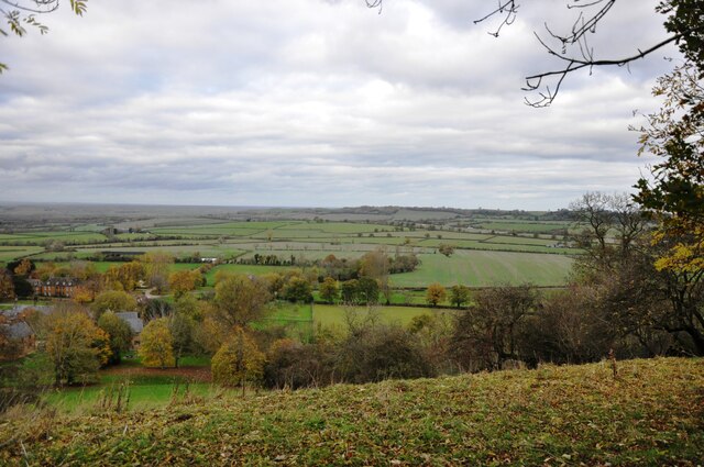
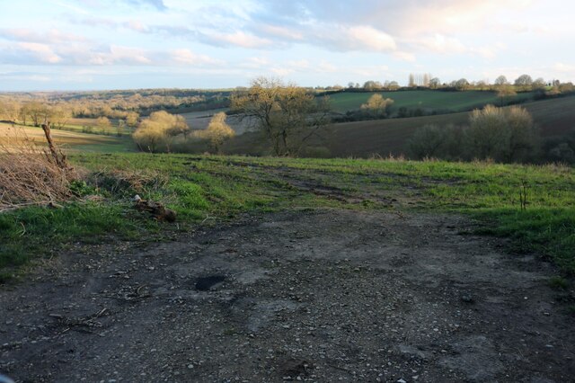
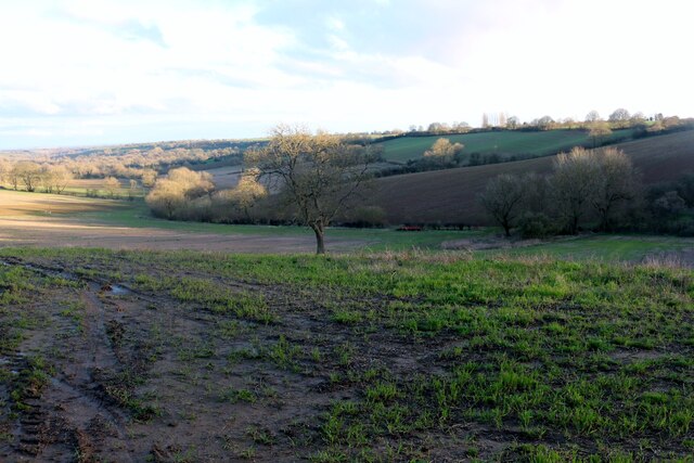
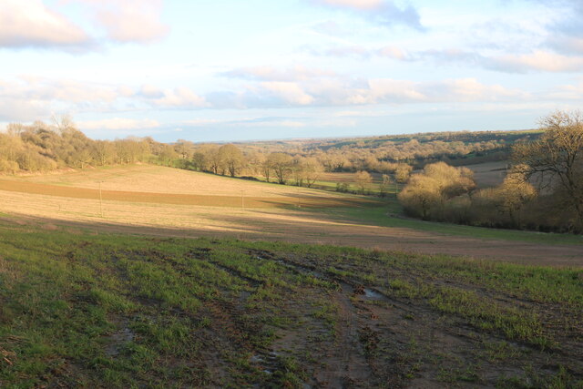
Knowle End Wood is a picturesque woodland located in Warwickshire, England. Covering an area of approximately 50 acres, this ancient forest is known for its rich biodiversity and stunning natural beauty. The wood is situated near the village of Knowle End, providing a peaceful retreat for nature enthusiasts and walkers alike.

The forest is primarily composed of broadleaf trees, including oak, beech, and ash, which create a dense and lush canopy overhead. These towering trees provide shade and shelter for a wide variety of wildlife, making the wood a haven for birdwatchers and animal lovers. Visitors may be lucky enough to spot species such as woodpeckers, owls, and deer as they explore the many trails and paths that wind through the woodland.

Knowle End Wood is also home to a diverse array of plant life, with an impressive collection of wildflowers carpeting the forest floor during the spring and summer months. Bluebells, primroses, and wild garlic are just a few of the vibrant blooms that can be found in abundance, adding bursts of color to the green landscape.

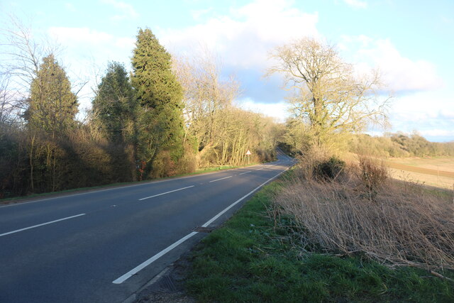
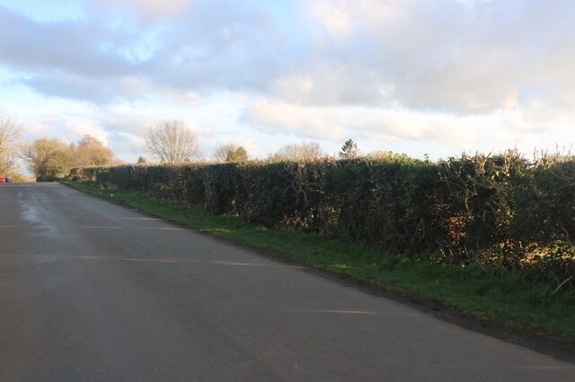
The wood is managed by the local council, who ensure the preservation and conservation of this natural treasure. Access to the forest is free, and there are designated areas for picnicking and relaxation. Additionally, educational events and guided walks are occasionally organized, providing visitors with the opportunity to learn more about the woodland's history and ecology.

Overall, Knowle End Wood offers a tranquil escape from the hustle and bustle of everyday life, allowing visitors to immerse themselves in the beauty of nature and experience the serenity of Warwickshire's countryside.

If you have any feedback on the listing, please let us know in the comments section below.

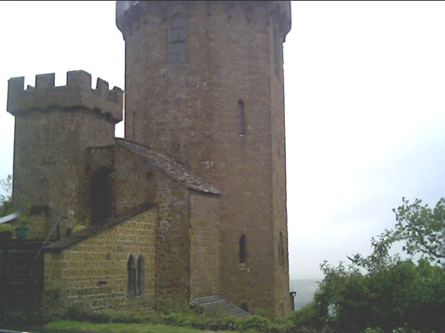
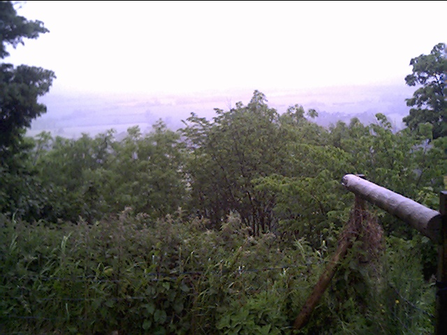
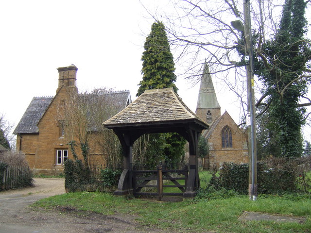
Knowle End Wood Images

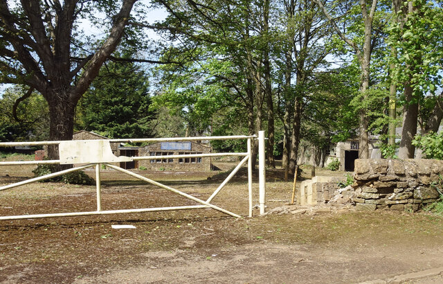
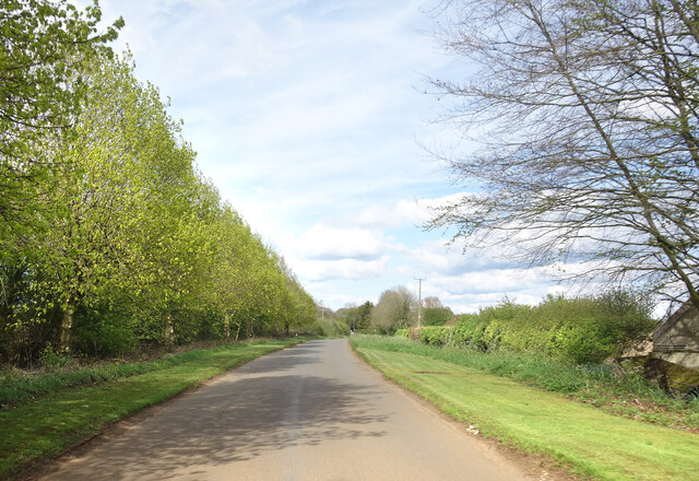
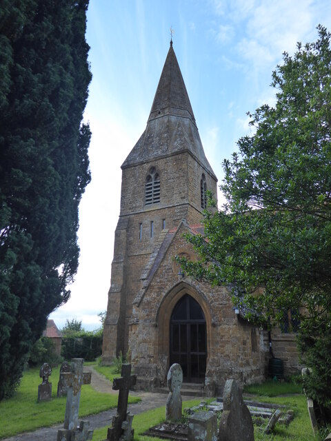
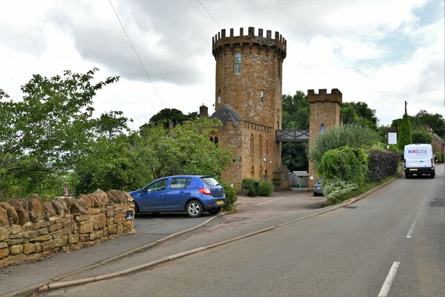
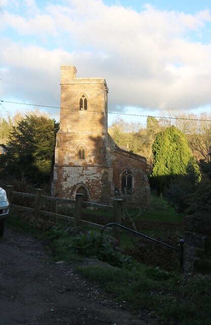
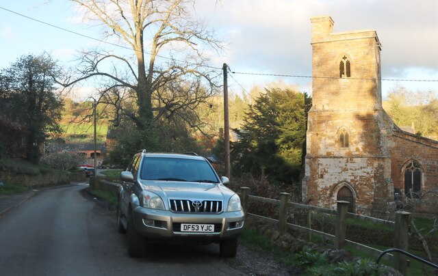
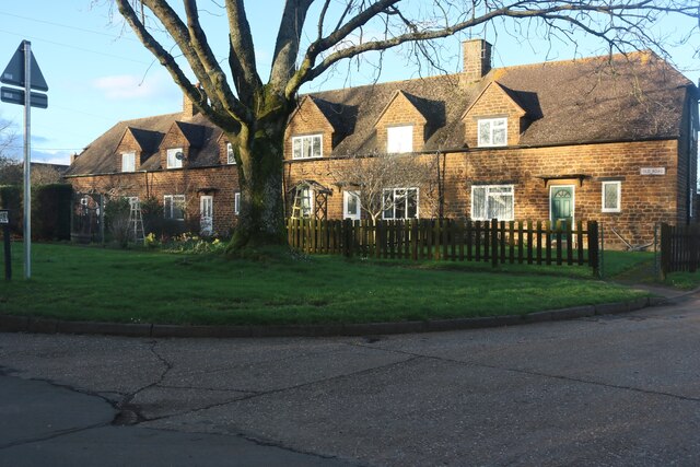
Images are sourced within 2km of 52.1336/-1.4441144 or Grid Reference SP3848. Thanks to Geograph Open Source API. All images are credited.

Derelict Yard at Hornton Quarry Old buildings, one with a faded notice still saying Hornton Quarry.
Older pictures <a href="https://www.geograph.org.uk/photo/1833757">SP3746 : Edgehill quarry</a> for example, show work going on at the quarry but I don't know if it is still a going concern. This bit isn't, for sure.
Derelict Yard at Hornton Quarry
Old buildings, one with a faded notice still saying Hornton Quarry. Older pictures SP3746 : Edgehill quarry for example, show work going on at the quarry but I don't know if it is still a going concern. This bit isn't, for sure.
Country Lane near Edgehill
Radway, St Peter
Radway, St Peter
Edgehill: The Castle Hotel
Edge Hill inclined plane The trees mark the route of the Edge Hill Light Railway inclined plane.  This was a rope-worked incline used to take wagons up and down from ironstone quarries at the top of Edge Hill to Burton Dassett sidings on the Stratford & Midland Junction Railway.  The line closed almost as soon as it was opened in the 1920's due to the changes in ironstone mining after WW1.  It lay dormant in a timewarp until it was dismantled in 1946.
Edge Hill inclined plane
The trees mark the route of the Edge Hill Light Railway inclined plane. This was a rope-worked incline used to take wagons up and down from ironstone quarries at the top of Edge Hill to Burton Dassett sidings on the Stratford & Midland Junction Railway. The line closed almost as soon as it was opened in the 1920's due to the changes in ironstone mining after WW1. It lay dormant in a timewarp until it was dismantled in 1946.
View from Edge Hill Looking across over Arlescote towards the Burton Hills.
View from Edge Hill
Looking across over Arlescote towards the Burton Hills.
The Castle Inn and Hotel, Edgehill Many of these castles were built as Victorian follies, including probably this one. <span class="nowrap"><a title="https://castleatedgehill.co.uk/" rel="nofollow ugc noopener" href="https://castleatedgehill.co.uk/">Link</a><img style="margin-left:2px;" alt="External link" title="External link - shift click to open in new window" src="https://s1.geograph.org.uk/img/external.png" width="10" height="10"/></span>
The Castle Inn and Hotel, Edgehill
Many of these castles were built as Victorian follies, including probably this one. LinkExternal link
The Castle Inn and Hotel, Edgehill <span class="nowrap"><a title="https://castleatedgehill.co.uk/" rel="nofollow ugc noopener" href="https://castleatedgehill.co.uk/">Link</a><img style="margin-left:2px;" alt="External link" title="External link - shift click to open in new window" src="https://s1.geograph.org.uk/img/external.png" width="10" height="10"/></span>
The Castle Inn and Hotel, Edgehill
Church of St Peter Ad Vincula, Ratley
Cottages on Old Road, Ratley
Fields by Camp Lane, Arlescote
Camp Lane, Arlescote
Old Road, Ratley
Old Road, Ratley
The Tower next to the Public House, Edge Hill At this spot Charles the first raised his standard to mark the start of the English Civil War.
The Tower next to the Public House, Edge Hill
At this spot Charles the first raised his standard to mark the start of the English Civil War.
Looking down onto the battle field of Edge Hill From the Public House Garden at Edge Hill.
Looking down onto the battle field of Edge Hill
From the Public House Garden at Edge Hill.
Show me another place!

Knowle End Wood is located at Grid Ref: SP3848 (Lat: 52.1336, Lng: -1.4441144)

Administrative County: Warwickshire

District: Stratford-on-Avon

Police Authority: Warwickshire

What 3 Words

///sprint.wiggling.weep. Near Farnborough, Warwickshire

Related Wikis

Arlescote

Arlescote is a village in Warwickshire, England. Arlescote forms part of the district of Stratford-on-Avon and the civil parish of Warmington. This small...

Ratley

Ratley is a village in the civil parish of Ratley and Upton, Stratford-on-Avon District, Warwickshire, England. The population of the civil parish in 2011...

Radway

Radway is a village and civil parish in Warwickshire, England, about 7 miles (11 km) north-west of Banbury in neighbouring Oxfordshire. The population...

Upton House, Warwickshire

Upton House is a country house in the civil parish of Ratley and Upton, in the English county of Warwickshire, about 7 miles (11 km) northwest of Banbury...

Nearby Amenities

Located within 500m of 52.1336,-1.4441144
The data included in this document is from www.openstreetmap.org. The data is made available under ODbL.

Have you been to Knowle End Wood?

Leave your review of Knowle End Wood below (or comments, questions and feedback).