Long Covert

Wood, Forest in Leicestershire Hinckley and Bosworth

England

Long Covert

Carlton-The Gate Hangs Well Public House on Bosworth Road.
Carlton-The Gate Hangs Well Credit: Ian Rob

Long Covert is a picturesque woodland located in Leicestershire, England. Nestled within the heart of the county, it is a popular destination for nature enthusiasts and those seeking a tranquil escape from the hustle and bustle of everyday life.

Covering an expansive area, Long Covert boasts a diverse range of tree species, including oak, beech, and birch, which create a stunning canopy of greenery throughout the year. The woodland is known for its dense vegetation and towering trees, providing a haven for various wildlife species. Visitors may spot a variety of birds, such as woodpeckers, robins, and owls, as well as small mammals like squirrels and rabbits.

Walking trails meander through the forest, offering visitors the opportunity to explore the natural beauty at their own pace. These paths are well-maintained and suitable for all ages and fitness levels. Along the way, there are several designated picnic spots, allowing visitors to take a break and enjoy the peaceful surroundings.

Long Covert is also home to a number of historical features, including remnants of ancient settlements and old boundary walls. These add an element of intrigue for those interested in the area's rich past.

Overall, Long Covert, Leicestershire is a hidden gem for nature lovers, offering a serene and enchanting experience surrounded by the beauty of a well-preserved woodland.

If you have any feedback on the listing, please let us know in the comments section below.
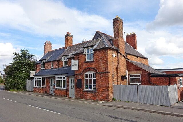
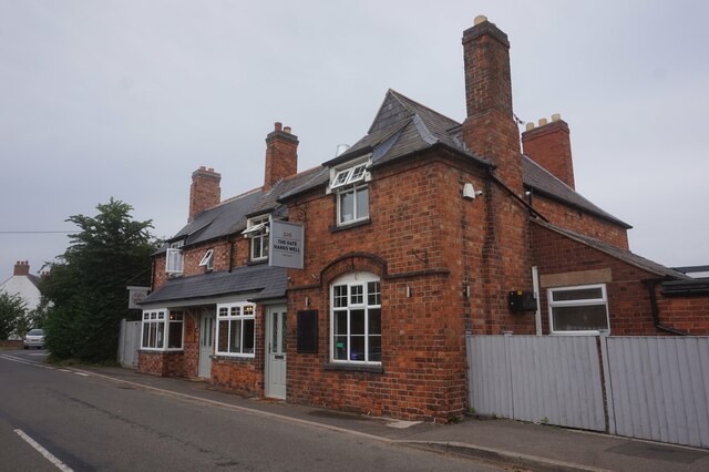
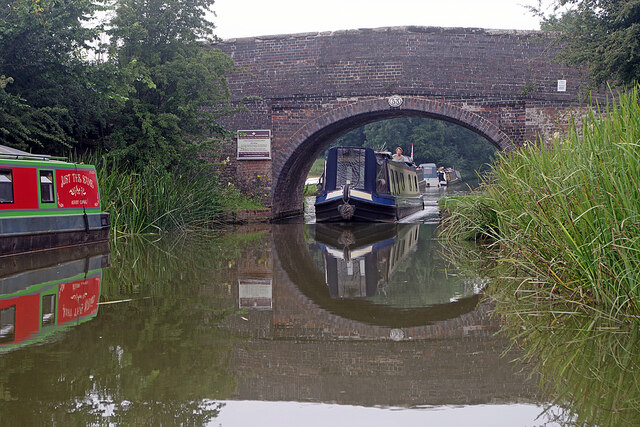
Long Covert Images

Images are sourced within 2km of 52.647862/-1.4374417 or Grid Reference SK3805. Thanks to Geograph Open Source API. All images are credited.

Carlton-The Gate Hangs Well Public House on Bosworth Road.
Carlton-The Gate Hangs Well
Public House on Bosworth Road.
The Gate Hangs Well public house, Carlton
Carlton Bridge, Ashby Canal Bridge 44 is about half a mile west of Carlton village surrounded by peaceful countryside.
Carlton Bridge, Ashby Canal
Bridge 44 is about half a mile west of Carlton village surrounded by peaceful countryside.
Carlton Bridge, Ashby Canal The northern stretch of the Ashby Canal, from here at bridge 44 to the end at Snarestone, is designated a Site of Special Scientific Interest (SSSI). Users are advised of this by the blue Canal & River trust sign. The SSSI covers just over six miles of waterway and is designated because of the diversity of aquatic plants and insect life. Nine species of dragonfly have been recorded here.
Carlton Bridge, Ashby Canal
The northern stretch of the Ashby Canal, from here at bridge 44 to the end at Snarestone, is designated a Site of Special Scientific Interest (SSSI). Users are advised of this by the blue Canal & River trust sign. The SSSI covers just over six miles of waterway and is designated because of the diversity of aquatic plants and insect life. Nine species of dragonfly have been recorded here.
Ashby Canal from Carlton Bridge The light is beginning to fade on a summer evening where the Ashby Canal curls through the Leicestershire countryside west of Carlton.
Ashby Canal from Carlton Bridge
The light is beginning to fade on a summer evening where the Ashby Canal curls through the Leicestershire countryside west of Carlton.
Ashby Canal, near Carlton Seen in the evening light, a line of narrowboats is moored on this stretch of the Ashby Canal just round the bend from Carlton Bridge.
Ashby Canal, near Carlton
Seen in the evening light, a line of narrowboats is moored on this stretch of the Ashby Canal just round the bend from Carlton Bridge.
Fairfield Bridge, Ashby Canal Bridge 46 on the canal carries a track leading south from Bosworth Road to Robies Gorse Farm.
Fairfield Bridge, Ashby Canal
Bridge 46 on the canal carries a track leading south from Bosworth Road to Robies Gorse Farm.
Approaching Congerstone Bridge, Ashby Canal A member of the Rose Narrowboats hire fleet is moored on the bend approaching Congerston Bridge, no 47 on the canal (counting up from Marston Junction).
Approaching Congerstone Bridge, Ashby Canal
A member of the Rose Narrowboats hire fleet is moored on the bend approaching Congerston Bridge, no 47 on the canal (counting up from Marston Junction).
Dakins Bridge, Ashby Canal Dakins Bridge, no 48 on the Ashby Canal, is a farm accommodation bridge just to the east of Congerstone village.
Dakins Bridge, Ashby Canal
Dakins Bridge, no 48 on the Ashby Canal, is a farm accommodation bridge just to the east of Congerstone village.
Terrace Bridge, Ashby Canal Terrace Bridge, no 49 on the Ashby Canal, carries a track which is a continuation of Poplar Terrace.
Terrace Bridge, Ashby Canal
Terrace Bridge, no 49 on the Ashby Canal, carries a track which is a continuation of Poplar Terrace.
Bates Bridge, Ashby Canal Bates Bridge, no 50 on the Ashby Canal, is one of two with the Bates name - the other being bridge 51, Bates Wharf Bridge, slightly further north.
Bates Bridge, Ashby Canal
Bates Bridge, no 50 on the Ashby Canal, is one of two with the Bates name - the other being bridge 51, Bates Wharf Bridge, slightly further north.
Bates Wharf Bridge, Ashby Canal Bates Wharf Bridge, no 51 on the Ashby Canal, carries Barton Lane (the road from Congerstone to Barton in the Beans). The sign on the parapet advertises the Rising Sun at Shackerstone.
Bates Wharf Bridge, Ashby Canal
Bates Wharf Bridge, no 51 on the Ashby Canal, carries Barton Lane (the road from Congerstone to Barton in the Beans). The sign on the parapet advertises the Rising Sun at Shackerstone.
Turn Bridge, Ashby Canal Bridge 52 is at the eastern end of Shackerstone village and the red sign advertises the nearby Rising Sun pub. Here the towpath changes side; having been on the western side of the canal from Marston Junction it continues on the eastern side to the end of navigation at Snarestone.
Turn Bridge, Ashby Canal
Bridge 52 is at the eastern end of Shackerstone village and the red sign advertises the nearby Rising Sun pub. Here the towpath changes side; having been on the western side of the canal from Marston Junction it continues on the eastern side to the end of navigation at Snarestone.
Town Bridge, Ashby Canal A narrowboat heads through bridge no 53 at the northern end of Shackerstone village. The red and green boat on the left is called, cryptically, 'Just the Same'.
Town Bridge, Ashby Canal
A narrowboat heads through bridge no 53 at the northern end of Shackerstone village. The red and green boat on the left is called, cryptically, 'Just the Same'.
Ashby Canal, Shackerstone An early evening view along the Ashby Canal from Turn Bridge. Wharf Farm is on the left.
Ashby Canal, Shackerstone
An early evening view along the Ashby Canal from Turn Bridge. Wharf Farm is on the left.
Shackerstone Station - footbridge The footbridge at Shackerstone - at the northern end of the Battlefield Line - is actually part of a footpath and does not give access to railway infrastructure.
Shackerstone Station - footbridge
The footbridge at Shackerstone - at the northern end of the Battlefield Line - is actually part of a footpath and does not give access to railway infrastructure.
Shackerstone Railway Station Heritage Battlefield Line Railway.
Shackerstone Railway Station
Heritage Battlefield Line Railway.
Show me another place!

Long Covert is located at Grid Ref: SK3805 (Lat: 52.647862, Lng: -1.4374417)

Administrative County: Leicestershire

District: Hinckley and Bosworth

Police Authority: Leicestershire

What 3 Words

///convinces.trending.shame. Near Market Bosworth, Leicestershire

Nearby Locations

Long Covert

Related Wikis

Shackerstone

Shackerstone is a village and civil parish in the Hinckley and Bosworth district of Leicestershire, England. It is situated on the Ashby-de-la-Zouch Canal...

Shackerstone railway station

Shackerstone railway station is a preserved railway station and heritage museum in Leicestershire, Central England. It is the terminus and the headquarters...

Odstone

Odstone is a hamlet and former civil parish, now in the parish of Shackerstone, in the Hinckley and Bosworth district of Leicestershire, England. It stands...

Barton in the Beans

Barton in the Beans is a hamlet and former civil parish, now in the parish of Shackerstone, in the Hinckley and Bosworth district of Leicestershire, England...

Carlton, Leicestershire

Carlton is a small rural parish located East of the river Sence in Leicestershire, England, around 2.2 miles North of Market Bosworth. According to the...

Congerstone

Congerstone () is a village and former civil parish, now in the parish of Shackerstone, in the Hinckley and Bosworth district, in Leicestershire, England...

Bilstone

Bilstone is a small village and former civil parish, now in the parish of Shackerstone, in the Hinckley and Bosworth district of Leicestershire, England...

Bufton

Bufton is a small hamlet in England between the Leicestershire villages of Carlton and Barton in the Beans. It has around 10–15 residents, mainly on farms...

Nearby Amenities

Located within 500m of 52.647862,-1.4374417
Railway: buffer_stop
Lat/Long: 52.6510015/-1.4407271
Power: pole
Source: bing
Lat/Long: 52.6503951/-1.44203
Power: pole
Source: bing
Transformer: distribution
Transition: yes
Lat/Long: 52.6504078/-1.44249
The data included in this document is from www.openstreetmap.org. The data is made available under ODbL.

Have you been to Long Covert?

Leave your review of Long Covert below (or comments, questions and feedback).