Knowle
Settlement in Hampshire Winchester
England
Knowle
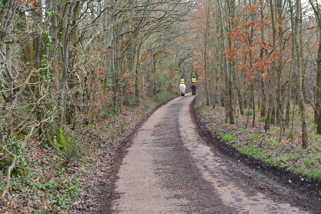
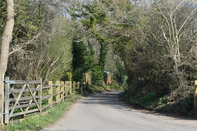
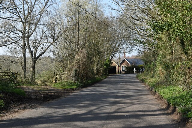
Knowle is a small village located in the county of Hampshire, England. Situated approximately 4 miles southeast of Fareham, this rural community is nestled in the beautiful Meon Valley. The village is characterized by its picturesque countryside views, charming thatched cottages, and a strong sense of community.
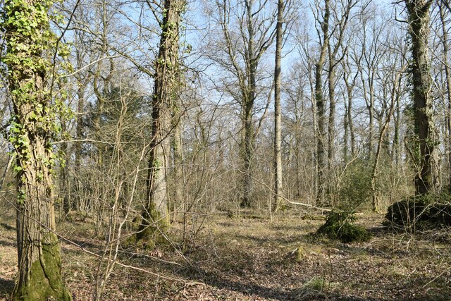
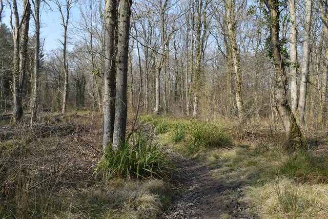
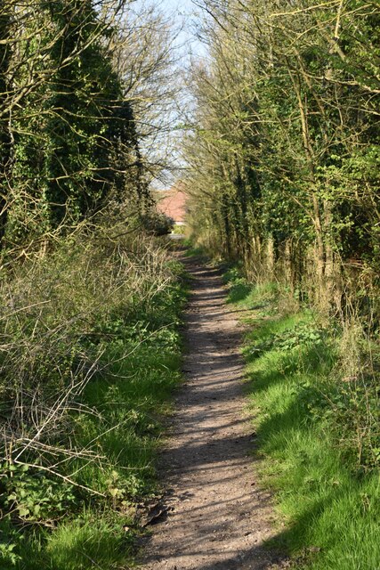
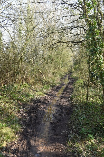
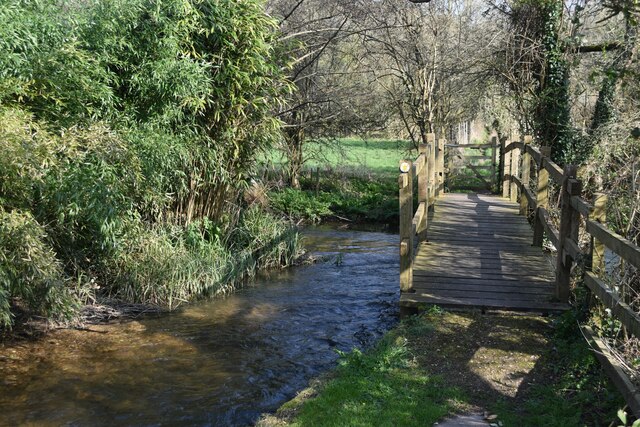
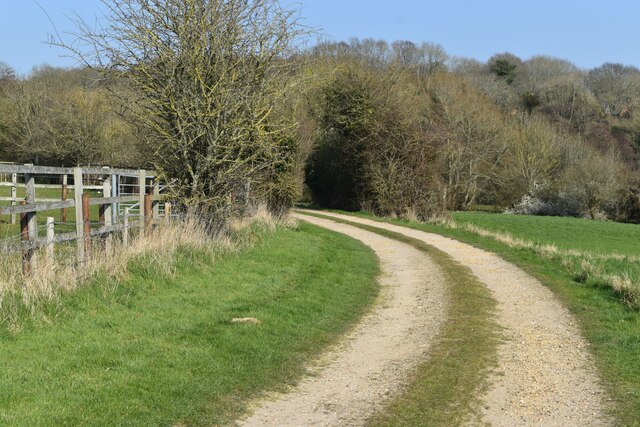
Knowle is surrounded by lush green fields and rolling hills, making it an ideal destination for nature enthusiasts and hikers. The nearby River Meon adds to the village's scenic appeal, offering opportunities for fishing and peaceful walks along its banks. The area is also known for its abundance of wildlife, including deer, badgers, and various bird species.
Despite its small size, Knowle boasts a number of amenities for its residents. The village has a local pub, The Knowle Village Inn, which serves as a social hub and offers a range of food and drink options. For those seeking outdoor activities, there is a sports field and a playground for children.
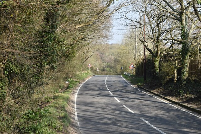
Knowle's proximity to Fareham provides residents with easy access to a wider range of services and facilities, including schools, shops, and healthcare centers. The village is well-connected to surrounding areas via a network of roads, making it a convenient base for commuters.
Overall, Knowle offers a peaceful and idyllic countryside lifestyle, while still providing access to essential amenities and a strong sense of community.
If you have any feedback on the listing, please let us know in the comments section below.
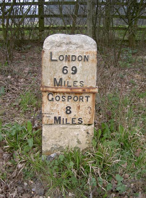
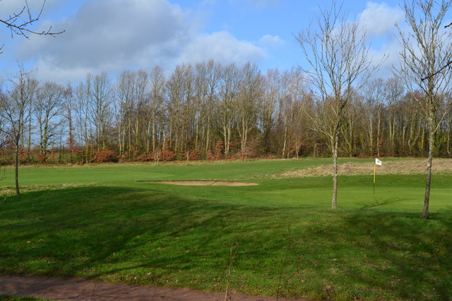
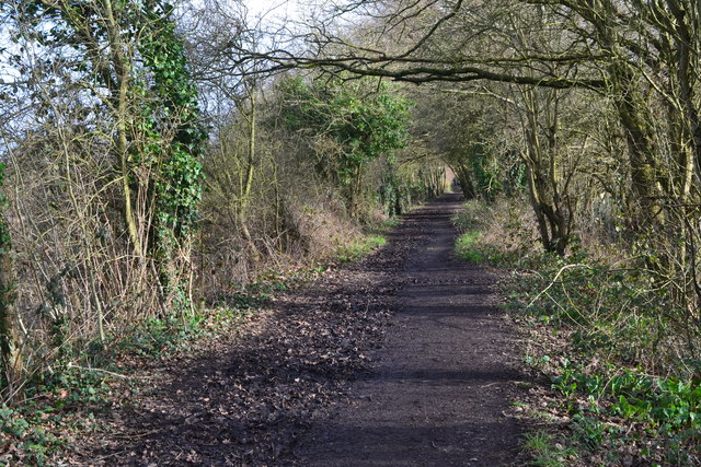
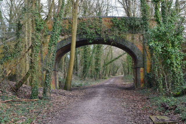
Knowle Images
Images are sourced within 2km of 50.88096/-1.2047741 or Grid Reference SU5609. Thanks to Geograph Open Source API. All images are credited.
Knowle is located at Grid Ref: SU5609 (Lat: 50.88096, Lng: -1.2047741)
Administrative County: Hampshire
District: Winchester
Police Authority: Hampshire
What 3 Words
///presides.grumble.tractor. Near Wickham, Hampshire
Nearby Locations
Related Wikis

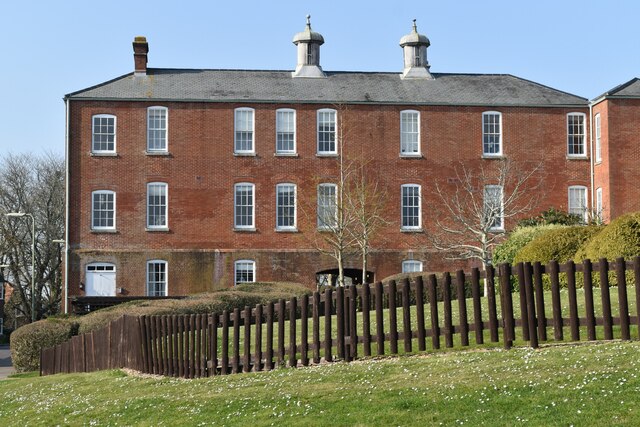
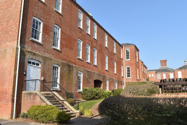
Knowle Hospital
Knowle Hospital, was a psychiatric hospital that was repurposed as the village of Knowle near the town of Fareham in Hampshire, southern England, which...

Knowle, Hampshire
Knowle is a village with mainly 21st century shops and businesses in the civil parish of Wickham and Knowle, in the Winchester district of Hampshire, England...

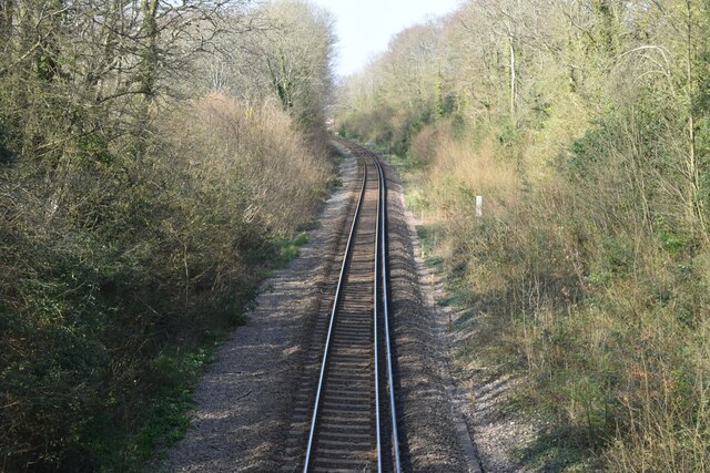
Knowle Halt railway station
Knowle Halt was a railway station in the county of Hampshire in England. It was served by trains on the Eastleigh to Fareham and Meon Valley lines. The...

Funtley
Funtley – from the Anglo-Saxon, "Funtaleg", "spring field (clearing)", is a hamlet or exurb north of Fareham, Hampshire, England. It forms a projection...
Nearby Amenities
Located within 500m of 50.88096,-1.2047741Have you been to Knowle?
Leave your review of Knowle below (or comments, questions and feedback).