Dash Wood

Wood, Forest in Hampshire Winchester

England

Dash Wood

Looking Up Bridge Street Uphill to the town centre from down by the bridge.
Looking Up Bridge Street Credit: Des Blenkinsopp

Dash Wood is a picturesque forest located in Hampshire, England. Spanning over an area of approximately 100 hectares, it is a popular destination for nature enthusiasts and outdoor adventurers alike. The wood is situated near the village of Wood, thus often referred to as Dash Wood, Hampshire.

The forest is characterized by its diverse and rich flora and fauna. Ancient oak trees dominate the landscape, their majestic presence providing shelter to a variety of woodland creatures. For centuries, Dash Wood has been carefully managed to maintain its natural beauty and ecological balance. The forest floor is adorned with wildflowers, creating a vibrant and colorful carpet during spring and summer months.

Nature lovers visiting Dash Wood can indulge in a plethora of activities. Numerous walking trails wind their way through the forest, offering visitors the opportunity to explore its hidden gems. These trails vary in difficulty, catering to both casual strollers and avid hikers. Birdwatchers will be delighted by the abundance of avian species that call Dash Wood their home, including woodpeckers, owls, and various songbirds.

In addition to its natural beauty, Dash Wood has a rich cultural heritage. The forest has been referenced in historical records dating back to the medieval period, with remnants of ancient settlements and structures still visible today. Archaeological discoveries have revealed the presence of human activity in the area dating back thousands of years, adding to the allure of Dash Wood.

Overall, Dash Wood, Hampshire is a captivating destination that offers a serene escape into nature's embrace. Its lush forests, diverse wildlife, and historical significance make it an enchanting place to explore and appreciate the wonders of the natural world.

If you have any feedback on the listing, please let us know in the comments section below.
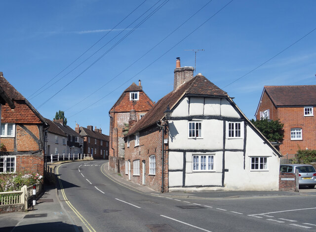
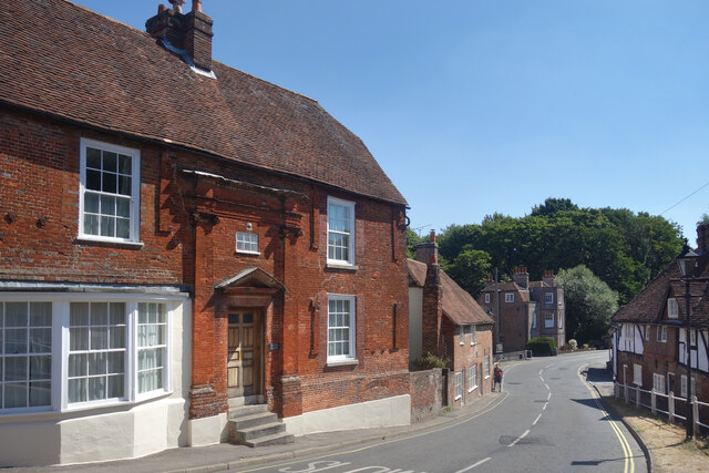
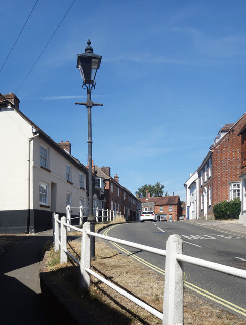
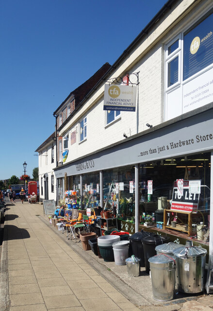
Dash Wood Images

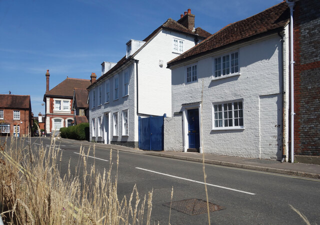
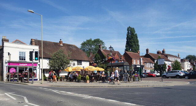
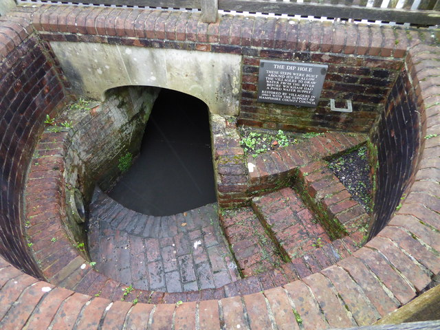
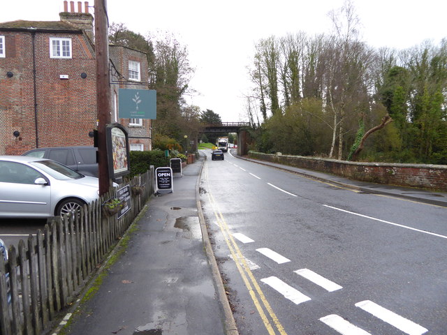
Images are sourced within 2km of 50.886114/-1.197038 or Grid Reference SU5609. Thanks to Geograph Open Source API. All images are credited.

Looking Up Bridge Street Uphill to the town centre from down by the bridge.
Looking Up Bridge Street
Uphill to the town centre from down by the bridge.
Looking Down Bridge Street Towards the bridge over the River Meon.
Looking Down Bridge Street
Towards the bridge over the River Meon.
Lamp Post on Bridge Street An old style street lamp in an old style street. The glass on the left of the lamp is blacked out because it is at the same level as the upper window of a nearby house.
Lamp Post on Bridge Street
An old style street lamp in an old style street. The glass on the left of the lamp is blacked out because it is at the same level as the upper window of a nearby house.
Heming & Co's Hardware Store Bins and pots and colourful stuff on display outside a shop in Wickham town centre.
Heming & Co's Hardware Store
Bins and pots and colourful stuff on display outside a shop in Wickham town centre.
The top end of Bridge Street Bridge Street goes between the River Meon and the town centre.
The top end of Bridge Street
Bridge Street goes between the River Meon and the town centre.
Outside the pub, Wickham A sunny Saturday morning at the Square Cow pub.
Outside the pub, Wickham
A sunny Saturday morning at the Square Cow pub.
The Dip Hole at Wickham Another view is at <a title="https://www.geograph.org.uk/photo/1472085" href="https://www.geograph.org.uk/photo/1472085">Link</a>.
The Dip Hole at Wickham
Another view is at Link.
Looking east on Bridge Street to the disused railway bridge There are two bridges here, the road bridge over the River Meon and the former railway bridge which now carries a bridleway.
See also <a title="https://www.geograph.org.uk/photo/1472034" href="https://www.geograph.org.uk/photo/1472034">Link</a>.
Looking east on Bridge Street to the disused railway bridge
There are two bridges here, the road bridge over the River Meon and the former railway bridge which now carries a bridleway. See also Link.
2016: a year on Geograph (Day 69) Junction of Station Road and Bridge Street
2016: a year on Geograph (Day 69)
Junction of Station Road and Bridge Street
Houses on School Road, Wickham
Tree on School Road, Wickham
House on Bridge Street, Wickham
Heming & Co, Wickham A traditional ironmonger store
Heming & Co, Wickham
A traditional ironmonger store
The Square, Wickham
The Square, Wickham
Shops on The Square, Wickham
The Square, Wickham
The Square, Wickham
Former railway bridge, Wickham The line opened by the London and South Western Railway in 1903 linked Fareham with Alton. Passenger services ceased in 1955 and the line closed completely in 1962. <span class="nowrap"><a title="https://en.wikipedia.org/wiki/Meon_Valley_Railway" rel="nofollow ugc noopener" href="https://en.wikipedia.org/wiki/Meon_Valley_Railway">Link</a><img style="margin-left:2px;" alt="External link" title="External link - shift click to open in new window" src="https://s1.geograph.org.uk/img/external.png" width="10" height="10"/></span>
Former railway bridge, Wickham
The line opened by the London and South Western Railway in 1903 linked Fareham with Alton. Passenger services ceased in 1955 and the line closed completely in 1962. LinkExternal link
Show me another place!

Dash Wood is located at Grid Ref: SU5609 (Lat: 50.886114, Lng: -1.197038)

Administrative County: Hampshire

District: Winchester

Police Authority: Hampshire

What 3 Words

///endearing.lands.stove. Near Wickham, Hampshire

Related Wikis

Knowle, Hampshire

Knowle is a village with mainly 21st century shops and businesses in the civil parish of Wickham and Knowle, in the Winchester district of Hampshire, England...

Knowle Hospital

Knowle Hospital, was a psychiatric hospital that was repurposed as the village of Knowle near the town of Fareham in Hampshire, southern England, which...

Knowle Halt railway station

Knowle Halt was a railway station in the county of Hampshire in England. It was served by trains on the Eastleigh to Fareham and Meon Valley lines. The...

Crockerhill, Hampshire

Crockerhill is a hamlet in south Hampshire, England. The population at the 2011 Census was included in the Borough of Fareham == References == The geographic...

Nearby Amenities

Located within 500m of 50.886114,-1.197038
Traffic Calming: bump
Lat/Long: 50.8903823/-1.1976976
Traffic Calming: bump
Lat/Long: 50.8881962/-1.2024013
Power: tower
Ref: 33
Source: interpolation
Lat/Long: 50.8869005/-1.2036991
Power: tower
Ref: 32
Source: interpolation
Lat/Long: 50.8862903/-1.2005056
Power: tower
Ref: 31
Source: interpolation
Lat/Long: 50.8855765/-1.1970018
Power: tower
Ref: 30
Source: interpolation
Lat/Long: 50.8849779/-1.1937718
Traffic Calming: bump
Lat/Long: 50.8887936/-1.2009572
Bus Stop
Ravenswood House
Naptan AtcoCode: 1900HAA13482
Naptan Bearing: S
Naptan CommonName: Ravenswood House
Naptan NaptanCode: hamdpjgp
Naptan PlusbusZoneRef: FAREHAM
Naptan Street: Mayles Lane
Naptan Verified: no
Source: naptan_import
Lat/Long: 50.8841423/-1.2032564
Bus Stop
Ravenswood House
Naptan AtcoCode: 1900HAA13483
Naptan Bearing: N
Naptan CommonName: Ravenswood House
Naptan NaptanCode: hamdpjgj
Naptan PlusbusZoneRef: FAREHAM
Naptan Street: Mayles Lane
Naptan Verified: no
Source: naptan_import
Lat/Long: 50.8841516/-1.2033131
Power: pole
Source: Bing
Lat/Long: 50.8896765/-1.200667
Power: pole
Source: Bing
Lat/Long: 50.8902365/-1.1993876
Power: pole
Source: Bing
Lat/Long: 50.8890572/-1.2020886
Fiddlers Green
Ele: 50
Natural: peak
Lat/Long: 50.886338/-1.1959716
The data included in this document is from www.openstreetmap.org. The data is made available under ODbL.

Have you been to Dash Wood?

Leave your review of Dash Wood below (or comments, questions and feedback).