Knowl
Settlement in Wiltshire
England
Knowl
The requested URL returned error: 429 Too Many Requests
If you have any feedback on the listing, please let us know in the comments section below.
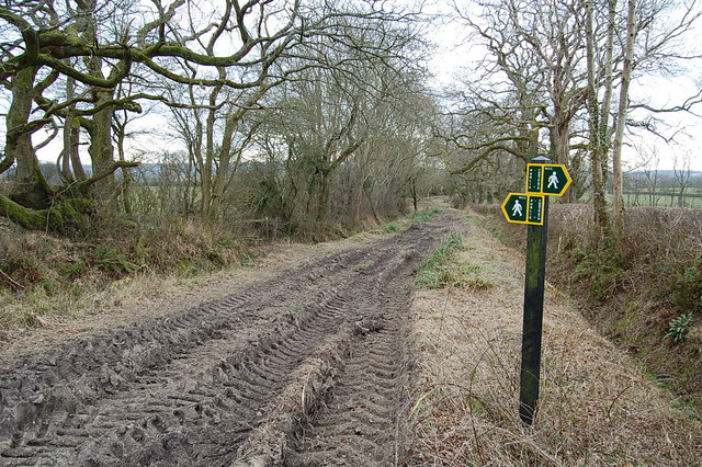
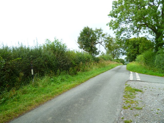
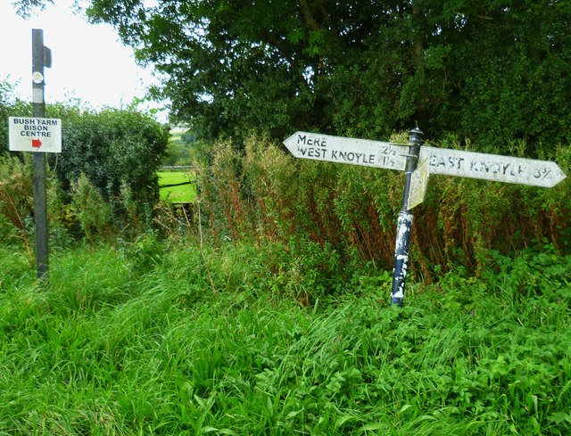
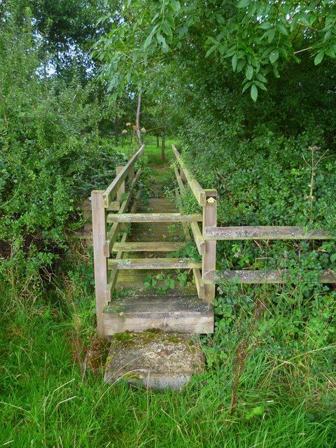
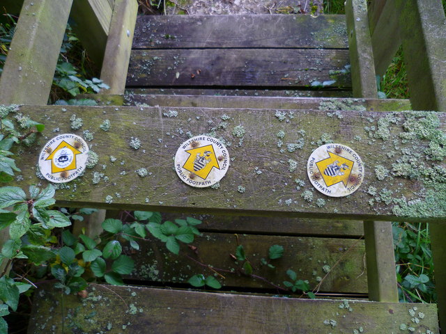
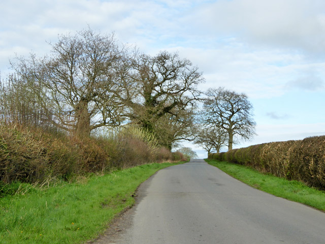
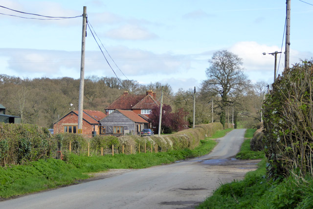
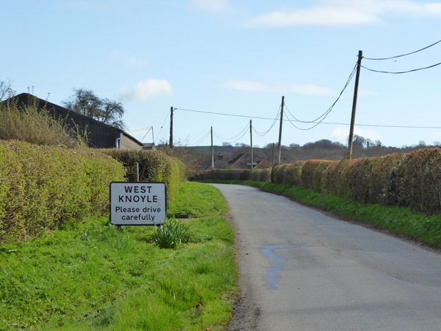
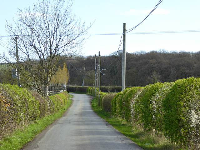
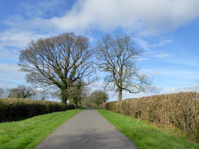
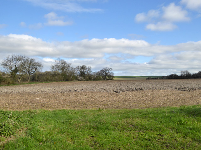
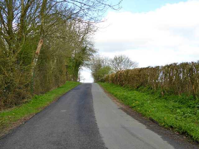
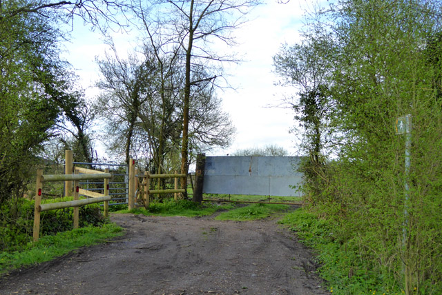
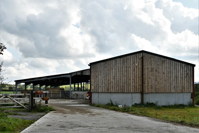
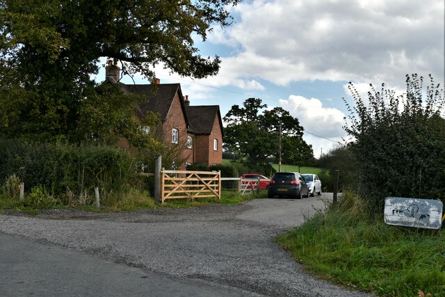
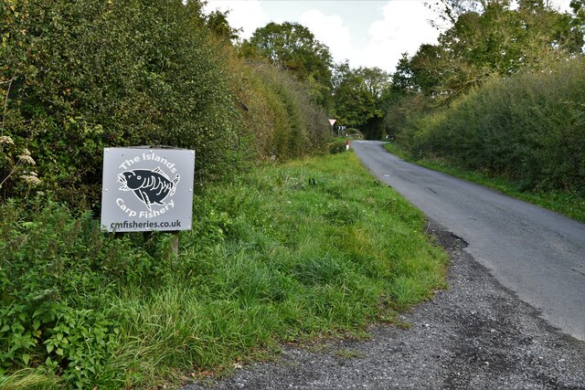
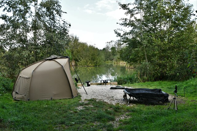
Knowl Images
Images are sourced within 2km of 51.072221/-2.2225931 or Grid Reference ST8430. Thanks to Geograph Open Source API. All images are credited.

Knowl is located at Grid Ref: ST8430 (Lat: 51.072221, Lng: -2.2225931)
Unitary Authority: Wiltshire
Police Authority: Wiltshire
What 3 Words
///amber.caravans.gliders. Near Mere, Wiltshire
Nearby Locations
Related Wikis

Barrow Street, Wiltshire
Barrow Street is a hamlet in Wiltshire, England, about 1.9 miles (3.1 km) southeast of the town of Mere. The name comes from the early Bronze Age bowl...

Hang Wood
Hang Wood (grid reference ST861319) is a 20.3 hectare biological Site of Special Scientific Interest in Wiltshire, notified in 1986. == Sources == Natural...

West Knoyle
West Knoyle is a small village and civil parish in southwest Wiltshire, England, close to the southern edge of Salisbury Plain. The village is about 2...
Charnage Down Chalk Pit
Charnage Down Chalk Pit (grid reference ST837329) is a 3.7 hectare geological Site of Special Scientific Interest in Wiltshire, England, lying east of...
Have you been to Knowl?
Leave your review of Knowl below (or comments, questions and feedback).