Jordanhill

Settlement in Renfrewshire

Scotland

Jordanhill

The Thornwood Bar Located at No 724 Dumbarton road at the Junction with Thornwood Drive.

<span class="nowrap"><a title="https://www.thethornwoodbar.com/" rel="nofollow ugc noopener" href="https://www.thethornwoodbar.com/">Link</a><img style="margin-left:2px;" alt="External link" title="External link - shift click to open in new window" src="https://s1.geograph.org.uk/img/external.png" width="10" height="10"/></span>
The Thornwood Bar Credit: Steve Houldsworth

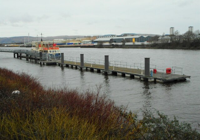
Jordanhill is a suburban area located in Renfrewshire, Scotland. It is situated approximately four miles west of Glasgow city center and lies on the northern bank of the River Clyde. The area is known for its residential properties, educational institutions, and picturesque surroundings.

Jordanhill is primarily a residential suburb, characterized by a mix of Victorian and Edwardian terraced houses, as well as more modern developments. The area attracts a diverse range of residents, from families and professionals to students attending the nearby University of Glasgow.

One of the key features of Jordanhill is its strong educational presence. The Jordanhill School, a prestigious state school, is situated in the heart of the area. It is renowned for its excellent academic reputation and high standards of education. Additionally, the University of Strathclyde's Jordanhill Campus, specializing in education and social work, is located nearby.

The suburb is well-connected to Glasgow city center and other surrounding areas by various transportation links. Jordanhill railway station provides regular train services to the city center and beyond, while several bus routes also serve the area.

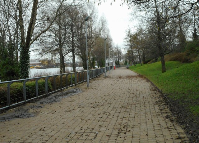
Nature lovers can enjoy the nearby Victoria Park, a large public green space that offers a peaceful retreat from the urban environment. The park features beautiful gardens, a pond, and a children's play area, making it a popular destination for families.

In summary, Jordanhill is a desirable residential area in Renfrewshire, with a strong emphasis on education and a convenient location close to Glasgow city center. Its mix of housing options, educational institutions, and nearby green spaces make it an attractive place to live.

If you have any feedback on the listing, please let us know in the comments section below.
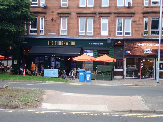
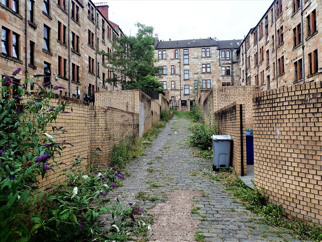
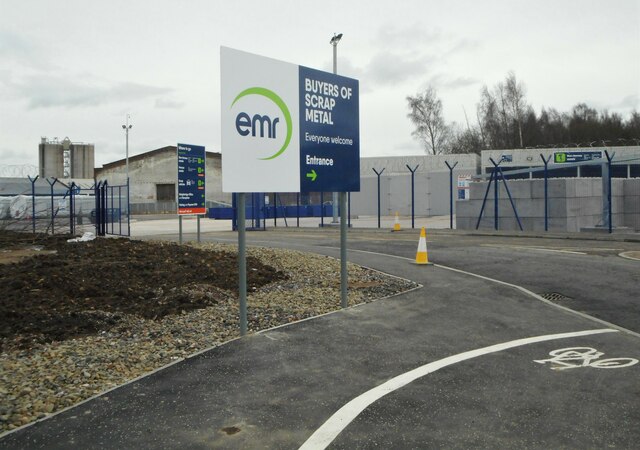
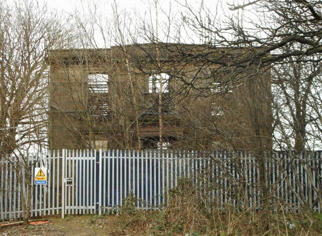
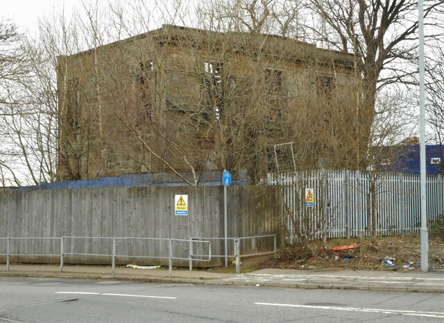
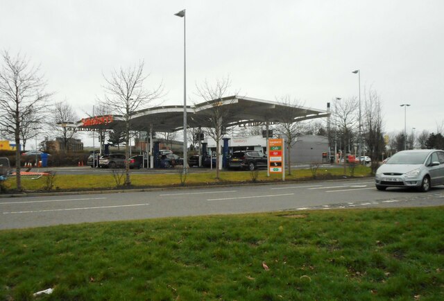
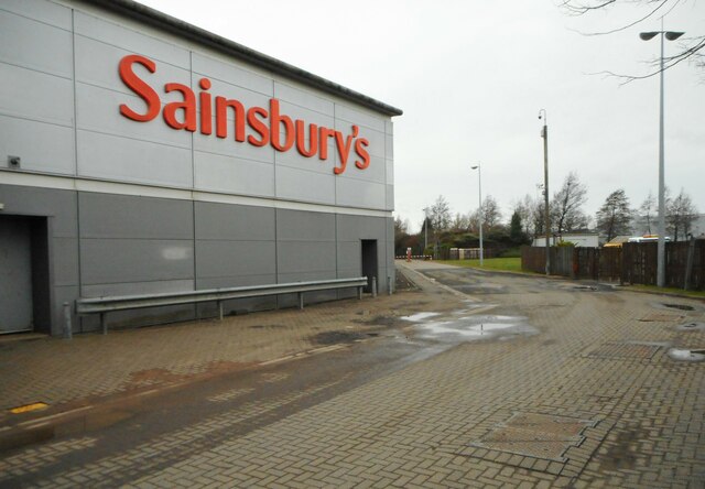
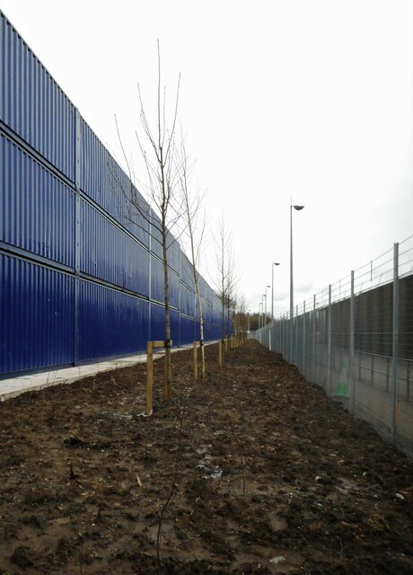
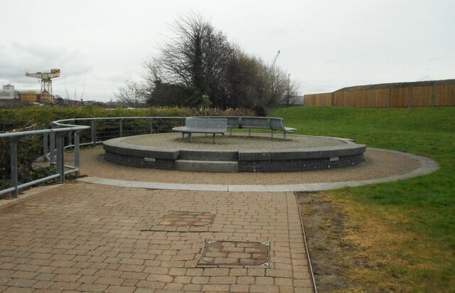
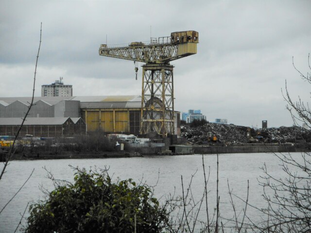
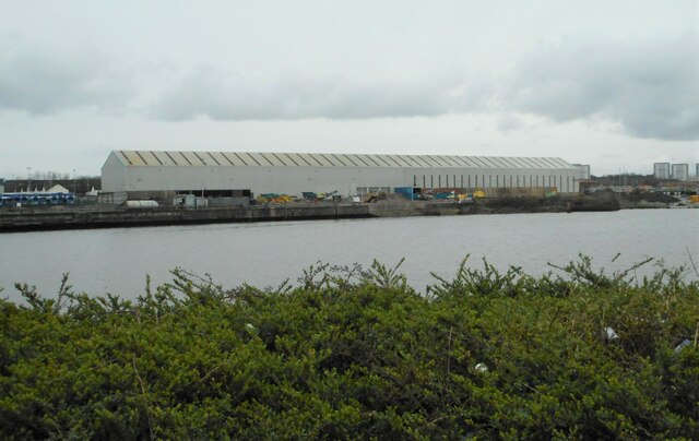
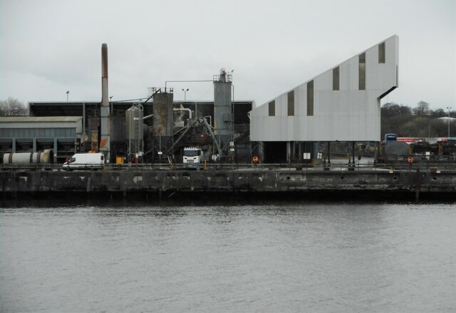
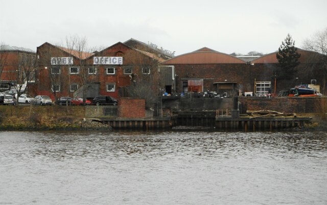
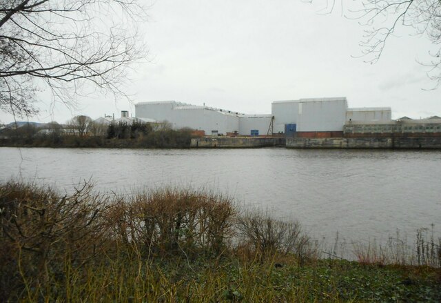
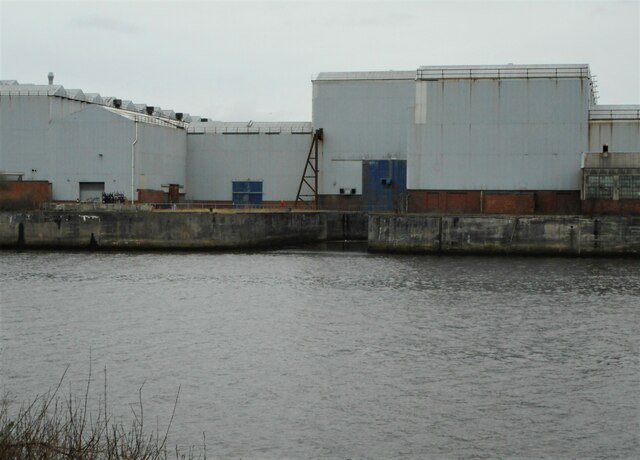
Jordanhill Images

Images are sourced within 2km of 55.882659/-4.3387144 or Grid Reference NS5367. Thanks to Geograph Open Source API. All images are credited.

The Thornwood Bar Located at No 724 Dumbarton road at the Junction with Thornwood Drive.

<span class="nowrap"><a title="https://www.thethornwoodbar.com/" rel="nofollow ugc noopener" href="https://www.thethornwoodbar.com/">Link</a><img style="margin-left:2px;" alt="External link" title="External link - shift click to open in new window" src="https://s1.geograph.org.uk/img/external.png" width="10" height="10"/></span>
The Thornwood Bar
Located at No 724 Dumbarton road at the Junction with Thornwood Drive. LinkExternal link
Exeter Lane Glasgow The back street named Exeter lane, accessed from Exeter Drive just off Dumbarton Road Glasgow.
Exeter Lane Glasgow
The back street named Exeter lane, accessed from Exeter Drive just off Dumbarton Road Glasgow.
Scrap metal buyers A new development off King's Inch Drive (not yet on the map).
Scrap metal buyers
A new development off King's Inch Drive (not yet on the map).
Shiels House An early to mid-19th century house beside a roundabout on King's Inch Drive (which was once Old Renfrew Road). It is a roofless ruin, the walls supported by internal scaffolding. It is on the Buildings at Risk Register <span class="nowrap"><a title="https://buildingsatrisk.org.uk/search/keyword/renfrew%20road/event_id/965710/building_name/shiels-612-old-renfrew-road-shiels," rel="nofollow ugc noopener" href="https://buildingsatrisk.org.uk/search/keyword/renfrew%20road/event_id/965710/building_name/shiels-612-old-renfrew-road-shiels,">Link</a><img style="margin-left:2px;" alt="External link" title="External link - shift click to open in new window" src="https://s1.geograph.org.uk/img/external.png" width="10" height="10"/></span> but is also Category B listed <span class="nowrap"><a title="http://portal.historicenvironment.scot/designation/LB33311" rel="nofollow ugc noopener" href="http://portal.historicenvironment.scot/designation/LB33311">Link</a><img style="margin-left:2px;" alt="External link" title="External link - shift click to open in new window" src="https://s1.geograph.org.uk/img/external.png" width="10" height="10"/></span>.
Shiels House
An early to mid-19th century house beside a roundabout on King's Inch Drive (which was once Old Renfrew Road). It is a roofless ruin, the walls supported by internal scaffolding. It is on the Buildings at Risk Register LinkExternal link but is also Category B listed LinkExternal link.
Sainsbury's Petrol Station On King's Inch Drive.
Sainsbury's Petrol Station
On King's Inch Drive.
Road at the rear of Sainsbury's The wooden slats on the right probably cover the external apparatus for Sainsbury's heating and ventilation systems. On the left the fencing prevents access into the northern end of King George V Docks.
Road at the rear of Sainsbury's
The wooden slats on the right probably cover the external apparatus for Sainsbury's heating and ventilation systems. On the left the fencing prevents access into the northern end of King George V Docks.
The corner of Sainsbury's The northeast corner of the supermarket building, nearest the River Clyde.
The corner of Sainsbury's
The northeast corner of the supermarket building, nearest the River Clyde.
New saplings behind the fence Looking down the line of the fence seen in <a href="https://www.geograph.org.uk/photo/7120252">NS5266 : Road at the rear of Sainsbury's</a>. New trees and small shrubs have been planted in the strip of ground between the fence and a row of containers (three high) at the edge of King George V Dock.
New saplings behind the fence
Looking down the line of the fence seen in NS5266 : Road at the rear of Sainsbury's. New trees and small shrubs have been planted in the strip of ground between the fence and a row of containers (three high) at the edge of King George V Dock.
Seating at the end of the path The footpath that follows the banks of the River Clyde must take a detour here to go around the King George V Dock, which is up ahead, behind the fence on the right. The Barclay Curle Titan Crane can be seen in the distance, further upstream on the other bank of the Clyde.
Seating at the end of the path
The footpath that follows the banks of the River Clyde must take a detour here to go around the King George V Dock, which is up ahead, behind the fence on the right. The Barclay Curle Titan Crane can be seen in the distance, further upstream on the other bank of the Clyde.
Barclay Curle Titan Crane Looking across the River Clyde to the Category A listed Titan Crane <span class="nowrap"><a title="http://portal.historicenvironment.scot/designation/LB32281," rel="nofollow ugc noopener" href="http://portal.historicenvironment.scot/designation/LB32281,">Link</a><img style="margin-left:2px;" alt="External link" title="External link - shift click to open in new window" src="https://s1.geograph.org.uk/img/external.png" width="10" height="10"/></span> dating from 1920. See <a title="https://www.geograph.org.uk/article/Scotlands-Surviving-Titan-Cranes" href="https://www.geograph.org.uk/article/Scotlands-Surviving-Titan-Cranes">Link</a>.
Barclay Curle Titan Crane
Looking across the River Clyde to the Category A listed Titan Crane LinkExternal link dating from 1920. See Link.
Malcolm Construction Long building on the north bank of the River Clyde belonging to Malcolm Construction (W.H. Malcolm Construction Services Division).
Malcolm Construction
Long building on the north bank of the River Clyde belonging to Malcolm Construction (W.H. Malcolm Construction Services Division).
Aggregate Industries Part of the Aggregate Industries Glasgow City Asphalt Plant beside the River Clyde.
Aggregate Industries
Part of the Aggregate Industries Glasgow City Asphalt Plant beside the River Clyde.
Disused dock A small disused dock on the north bank of the River Clyde, with industrial buildings behind.
Disused dock
A small disused dock on the north bank of the River Clyde, with industrial buildings behind.
View across the Clyde The building was originally Harland and Wolff Engineering Works, but now belongs to AAM (Albion Automotive), who according to their website 'design, engineer and manufacture Driveline and Metal Forming technologies to support electric, hybrid and internal combustion vehicles'. The old dock appears to be disused.
View across the Clyde
The building was originally Harland and Wolff Engineering Works, but now belongs to AAM (Albion Automotive), who according to their website 'design, engineer and manufacture Driveline and Metal Forming technologies to support electric, hybrid and internal combustion vehicles'. The old dock appears to be disused.
Disused dock The building behind is part of AAM. See <a href="https://www.geograph.org.uk/photo/7120349">NS5267 : View across the Clyde</a>.
Disused dock
The building behind is part of AAM. See NS5267 : View across the Clyde.
Path beside the River Clyde
Pontoon, River Clyde The boat at the pontoon is 'Cruiser' operated by Clyde Marine Services.
Pontoon, River Clyde
The boat at the pontoon is 'Cruiser' operated by Clyde Marine Services.
Show me another place!

Jordanhill is located at Grid Ref: NS5367 (Lat: 55.882659, Lng: -4.3387144)

Unitary Authority: City of Glasgow

Police Authority: Greater Glasgow

What 3 Words

///twist.leads.digs. Near Renfrew, Renfrewshire

Nearby Locations

Jordanhill Scotstoun

Related Wikis

Jordanhill

Jordanhill (Scots: Jordanhull, Scottish Gaelic: Cnoc Iòrdain) is an affluent area of the West End of the city of Glasgow, Scotland. The area consists largely...

Jordanhill College

Jordanhill College was a higher education college in Jordanhill, Glasgow, Scotland. It opened as a teacher training college in 1921. The college merged...

University of Strathclyde Faculty of Education

The Strathclyde Institute of Education is one of the schools which make up the Faculty of Humanities and Social Sciences at the University of Strathclyde...

Scotstoun Stadium

Scotstoun Stadium is an athletics and rugby union stadium in Scotstoun, an area in the West End of Glasgow, Scotland. Glasgow Warriors have trained at...

Nearby Amenities

Located within 500m of 55.882659,-4.3387144
Traffic Signals
Traffic Signals: signal
Traffic Signals Direction: both
Lat/Long: 55.8829893/-4.3343165
Entrance: main
Lat/Long: 55.8811883/-4.339864
Traffic Signals
Traffic Signals: signal
Lat/Long: 55.878431/-4.3376231
Direction: both
Surface: asphalt
Traffic Calming: table
Lat/Long: 55.8790515/-4.3429743
Mini Roundabout
Direction: clockwise
Lat/Long: 55.8801578/-4.3416065
Direction: both
Surface: asphalt
Traffic Calming: table
Lat/Long: 55.884596/-4.332571
Direction: both
Surface: asphalt
Traffic Calming: table
Lat/Long: 55.8795497/-4.3442072
Crossing
Crossing: traffic_signals
Crossing Island: no
Crossing Ref: toucan
Tactile Paving: yes
Lat/Long: 55.8805097/-4.3427866
Crossing
Button Operated: yes
Crossing: traffic_signals
Crossing Island: no
Tactile Paving: yes
Traffic Signals Sound: no
Traffic Signals Vibration: yes
Lat/Long: 55.8830546/-4.3336557
Barrier: lift_gate
Bicycle: yes
Foot: yes
Motorcar: yes
Motorcycle: yes
Lat/Long: 55.8837724/-4.3370717
Post Box
Collection Times: Mo-Fr 09:00; Sa 07:00
Lat/Long: 55.879208/-4.3346857
Crossing: zebra
Lat/Long: 55.8807686/-4.3413214
Post Box
Addr City: Glasgow
Addr Housenumber: 1
Addr Street: Lennox Avenue
Collection Times: Mo-Fr 09:00; Sa 07:00
Colour: red
Drive Through: no
Operator: Royal Mail
Ref: G14 6460
Royal Cypher: GR
Lat/Long: 55.8796154/-4.340447
Bus Stop
Westland Drive / Victoria Park Drive North
Bench: yes
Bin: yes
Bus: yes
Lit: yes
Naptan AtcoCode: 6090496
Naptan Bearing: S
Naptan CommonName: Angle Gate
Naptan Indicator: opp
Naptan Landmark: Victoria Park Drive North
Naptan NaptanCode: 45242397
Naptan Street: Westland Drive
Public Transport: platform
Ref: 6090496
Shelter: yes
Tactile Paving: no
Lat/Long: 55.8790501/-4.3372284
Jordanhill
Name Gd: Cnoc Iòrdain
Place: suburb
Wikidata: Q6277213
Wikipedia: en:Jordanhill
Lat/Long: 55.8851018/-4.3345744
Bicycle Parking
Bicycle Parking: stands
Capacity: 10
Check Date: 2023-06-07
Covered: no
Lat/Long: 55.8813218/-4.3397409
Bicycle Parking
Bicycle Parking: stands
Capacity: 22
Check Date: 2023-06-09
Covered: no
Lat/Long: 55.8815957/-4.3403954
Bicycle Parking
Bicycle Parking: stands
Capacity: 12
Covered: yes
Lat/Long: 55.880404/-4.3387697
Bus Stop
Westland Drive / Victoria Park Drive North
Bench: no
Bin: no
Bus: yes
Lit: yes
Naptan AtcoCode: 6090497
Naptan Bearing: N
Naptan CommonName: Angle Gate
Naptan Indicator: after
Naptan Landmark: Victoria Park Drive North
Naptan NaptanCode: 45245242
Naptan Street: Westland Drive
Public Transport: platform
Ref: 6090497
Shelter: no
Tactile Paving: no
Lat/Long: 55.879/-4.3374
Bus Stop
Jordanhill, Southbrae Drive/ Hallydown Drive
Bench: yes
Bin: yes
Lit: no
Naptan AtcoCode: 6090504
Naptan Bearing: SE
Naptan CommonName: Hallydown Drive
Naptan Indicator: At
Naptan Landmark: Hallydown Drive
Naptan NaptanCode: 45239762
Naptan Street: Southbrae Drive
Ref: 6090504
Shelter: yes
Tactile Paving: no
Lat/Long: 55.883384/-4.3430272
Bus Stop
Jordanhill, Southbrae Drive/ Hallydown Drive
Bench: no
Bin: no
Lit: no
Naptan AtcoCode: 6090503
Naptan Bearing: NW
Naptan CommonName: Hallydown Drive
Naptan Indicator: Opp
Naptan Landmark: Hallydown Drive
Naptan NaptanCode: 45239532
Naptan Street: Southbrae Drive
Ref: 6090503
Shelter: no
Tactile Paving: no
Lat/Long: 55.8834/-4.34368
Bus Stop
Jordanhill, Southbrae Drive/ Number 141
Bench: no
Bin: yes
Lit: yes
Naptan AtcoCode: 6090502
Naptan Bearing: NW
Naptan CommonName: 141 Southbrae Drive
Naptan Indicator: At
Naptan Landmark: Number 141
Naptan NaptanCode: 45232849
Naptan Street: Southbrae Drive
Ref: 6090502
Shelter: no
Tactile Paving: no
Lat/Long: 55.88261/-4.33917
Bus Stop
Jordanhill, Southbrae Drive/ Number 94
Bench: no
Bin: no
Check Date Bin: 2023-02-05
Lit: no
Naptan AtcoCode: 6090501
Naptan Bearing: E
Naptan CommonName: 94 Southbrae Drive
Naptan Indicator: At
Naptan Landmark: Number 94
Naptan NaptanCode: 45235828
Naptan Street: Southbrae Drive
Ref: 6090501
Shelter: no
Tactile Paving: no
Lat/Long: 55.8827/-4.33811
Bus Stop
Jordanhill, Southbrae Drive/ Westbrae Drive
Bench: yes
Bin: yes
Lit: yes
Naptan AtcoCode: 6090500
Naptan Bearing: E
Naptan CommonName: Jordanhill Campus
Naptan Indicator: at
Naptan Landmark: Westbrae Drive
Naptan NaptanCode: 45243594
Naptan Street: Southbrae Drive
Ref: 6090500
Shelter: yes
Tactile Paving: no
Lat/Long: 55.88289/-4.33578
Bus Stop
Jordanhill, Westbrae Drive/ Southbrae Drive
Bench: no
Bin: no
Lit: yes
Naptan AtcoCode: 6090499
Naptan Bearing: N
Naptan CommonName: Southbrae Drive
Naptan Indicator: Near
Naptan Landmark: Southbrae Drive
Naptan NaptanCode: 45234732
Naptan Street: Westbrae Drive
Ref: 6090499
Shelter: no
Tactile Paving: no
Lat/Long: 55.88261/-4.33426
Bus Stop
Victoria Park, Westland Drive/ Mitre Road
Bench: no
Bin: no
Lit: yes
Naptan AtcoCode: 6090498
Naptan Bearing: SW
Naptan CommonName: Westbrae Drive
Naptan Indicator: after
Naptan Landmark: Mitre Road
Naptan NaptanCode: 45234248
Naptan Street: Westland Drive
Ref: 6090498
Shelter: no
Tactile Paving: no
Lat/Long: 55.88162/-4.33455
Crossing
Button Operated: yes
Crossing: traffic_signals
Crossing Island: yes
Kerb: lowered
Tactile Paving: yes
Traffic Signals Sound: yes
Traffic Signals Vibration: yes
Lat/Long: 55.8786002/-4.3378234
Marker: yes
Ncn Milepost: mccoll
Sustrans Ref: MP822
Lat/Long: 55.8819968/-4.3327224
Waste Basket
Colour: black
Waste: trash;dog_excrement
Lat/Long: 55.878465/-4.3379173
Waste Basket
Colour: black
Waste: trash;dog_excrement
Lat/Long: 55.878529/-4.3417994
Waste Basket
Colour: black
Waste: trash;dog_excrement
Lat/Long: 55.8784183/-4.3375445
Direction: both
Surface: asphalt
Traffic Calming: table
Lat/Long: 55.8837575/-4.3322164
Direction: both
Surface: asphalt
Traffic Calming: table
Lat/Long: 55.885468/-4.3328975
Crossing
Button Operated: yes
Crossing: traffic_signals
Crossing Island: yes
Kerb: lowered
Tactile Paving: yes
Traffic Signals Sound: yes
Traffic Signals Vibration: yes
Lat/Long: 55.8786586/-4.3374692
Direction: both
Surface: asphalt
Traffic Calming: hump
Lat/Long: 55.8795629/-4.3402264
Direction: backward
Surface: asphalt
Traffic Calming: bump
Lat/Long: 55.8800738/-4.3414137
Crossing
Crossing: unmarked
Crossing Island: yes
Crossing Markings: no
Kerb: lowered
Tactile Paving: no
Lat/Long: 55.8800997/-4.3414731
Crossing
Crossing: unmarked
Crossing Island: yes
Crossing Markings: no
Tactile Paving: no
Lat/Long: 55.8802372/-4.3418728
Direction: forward
Surface: asphalt
Traffic Calming: bump
Lat/Long: 55.8802585/-4.3419442
Direction: both
Surface: asphalt
Traffic Calming: bump
Lat/Long: 55.8819088/-4.3465717
Recycling
Operator: Glasgow City Council
Recycling Cans: yes
Recycling Cardboard: yes
Recycling Paper: yes
Recycling Plastic Bottles: yes
Recycling Type: container
Lat/Long: 55.8818211/-4.3400923
Waste Basket
Colour: black
Operator: Glasgow City Council
Waste: trash;dog_excrement
Lat/Long: 55.8801459/-4.3378839
Waste Basket
Colour: black
Operator: Glasgow City Council
Waste: trash;dog_excrement
Lat/Long: 55.8819273/-4.3359688
Barrier: bollard
Lat/Long: 55.8843536/-4.3423997
Barrier: bollard
Lat/Long: 55.8848282/-4.3383569
Fountain
Fountain: decorative
Lat/Long: 55.8810595/-4.3397232
Crossing
Button Operated: yes
Crossing: traffic_signals
Crossing Island: no
Tactile Paving: yes
Traffic Signals Sound: yes
Traffic Signals Vibration: yes
Lat/Long: 55.8783584/-4.3377394
Crossing
Button Operated: yes
Crossing: traffic_signals
Crossing Island: no
Kerb: lowered
Tactile Paving: yes
Traffic Signals Sound: yes
Traffic Signals Vibration: yes
Lat/Long: 55.8784692/-4.3373113
The data included in this document is from www.openstreetmap.org. The data is made available under ODbL.

Have you been to Jordanhill?

Leave your review of Jordanhill below (or comments, questions and feedback).